The Round Wood
Wood, Forest in Norfolk North Norfolk
England
The Round Wood
The Round Wood is a serene and captivating forest located in Norfolk, England. Spanning over 100 acres, this ancient woodland is a haven for nature enthusiasts and serves as an important habitat for a diverse range of flora and fauna.
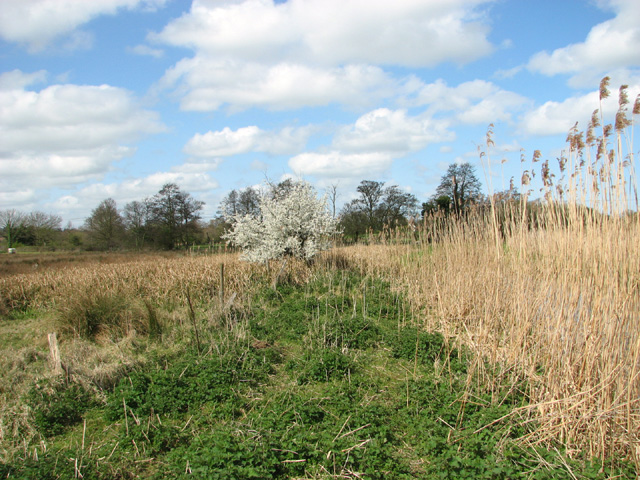
The wood gets its name from its unique circular shape, with a central clearing that acts as a focal point for visitors. This clearing is an ideal spot for picnics or simply soaking in the tranquil atmosphere. Surrounded by towering oak, beech, and ash trees, The Round Wood offers a sense of seclusion and escape from the hustle and bustle of everyday life.
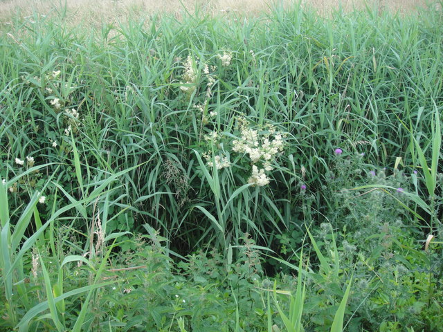
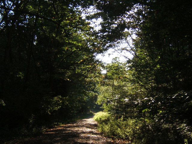
The forest is crisscrossed by a network of well-maintained footpaths, allowing for leisurely strolls or more adventurous hikes. Along these paths, visitors can marvel at the beauty of bluebells carpeting the forest floor in spring or witness the vibrant shades of red and gold during the autumn months.
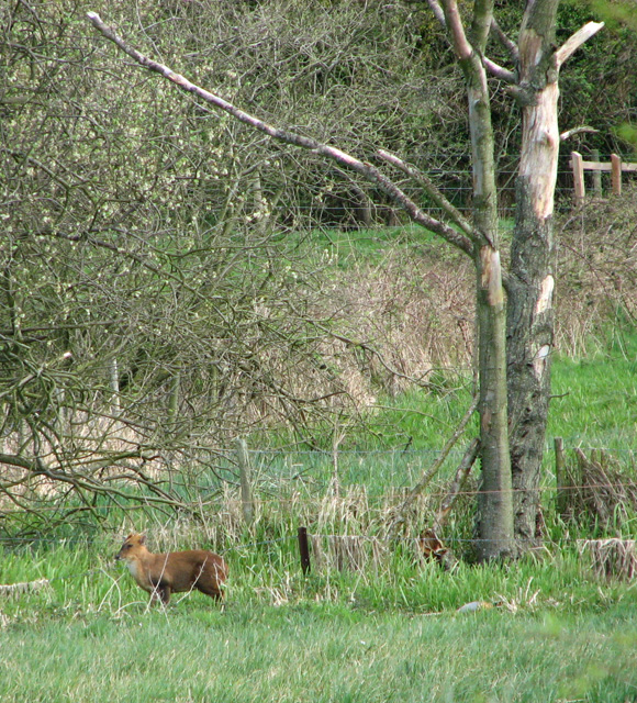
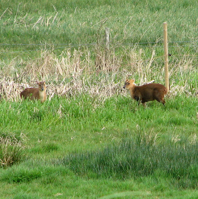
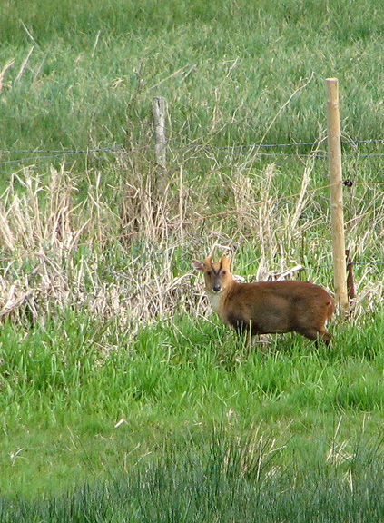
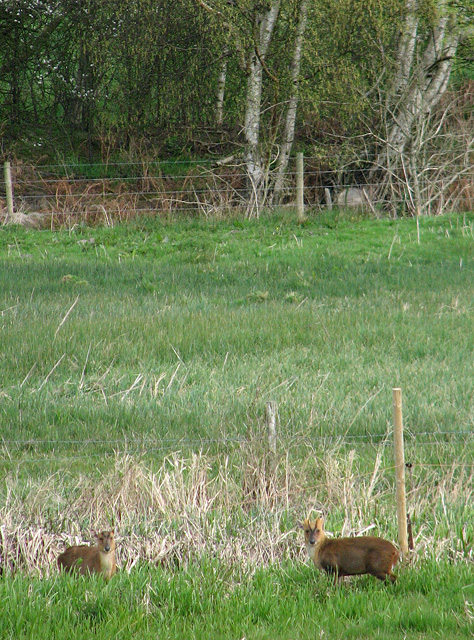
Wildlife thrives within The Round Wood, with numerous species calling it home. Deer can often be spotted amidst the trees, while birdwatchers can delight in sightings of woodpeckers, owls, and various songbirds. The forest also hosts a variety of small mammals, such as foxes, squirrels, and rabbits.
The Round Wood is not only a place of natural beauty but also holds historical significance. It has been a cherished woodland for centuries, with evidence of human activity dating back to the Iron Age. The forest has been carefully managed to preserve its ecological integrity, making it a valuable asset for conservation and education.
Overall, The Round Wood offers a captivating blend of natural splendor, recreational opportunities, and cultural heritage. Whether seeking tranquility, adventure, or a deeper connection with nature, this enchanting forest in Norfolk provides an ideal setting for all.
If you have any feedback on the listing, please let us know in the comments section below.
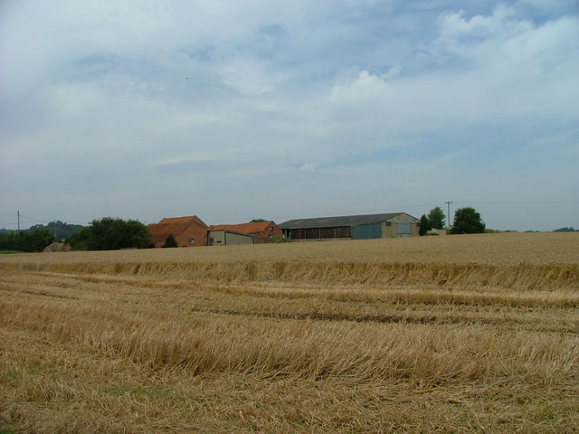
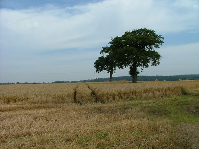
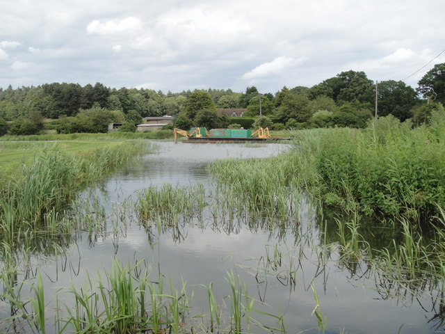
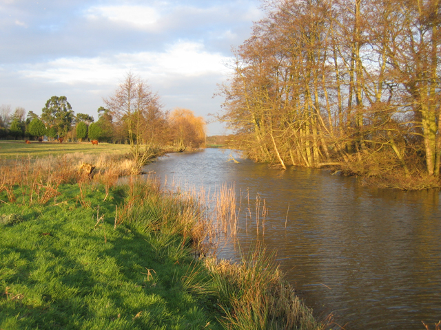
The Round Wood Images
Images are sourced within 2km of 52.815978/1.4344245 or Grid Reference TG3129. Thanks to Geograph Open Source API. All images are credited.


The Round Wood is located at Grid Ref: TG3129 (Lat: 52.815978, Lng: 1.4344245)
Administrative County: Norfolk
District: North Norfolk
Police Authority: Norfolk
What 3 Words
///factoring.loosens.robes. Near North Walsham, Norfolk
Nearby Locations
Related Wikis
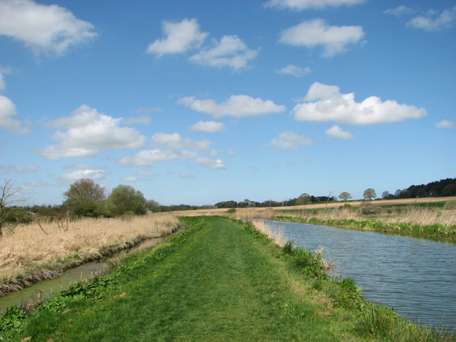
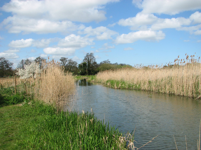
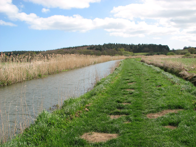
North Walsham & Dilham Canal
The North Walsham and Dilham Canal is a waterway in the English county of Norfolk. It was authorised by Parliament in 1812, but work on the construction...

Edingthorpe
Edingthorpe Edingthorpe is a small village and former civil parish, now in the parish of Bacton, in the North Norfolk district, in the county of Norfolk...
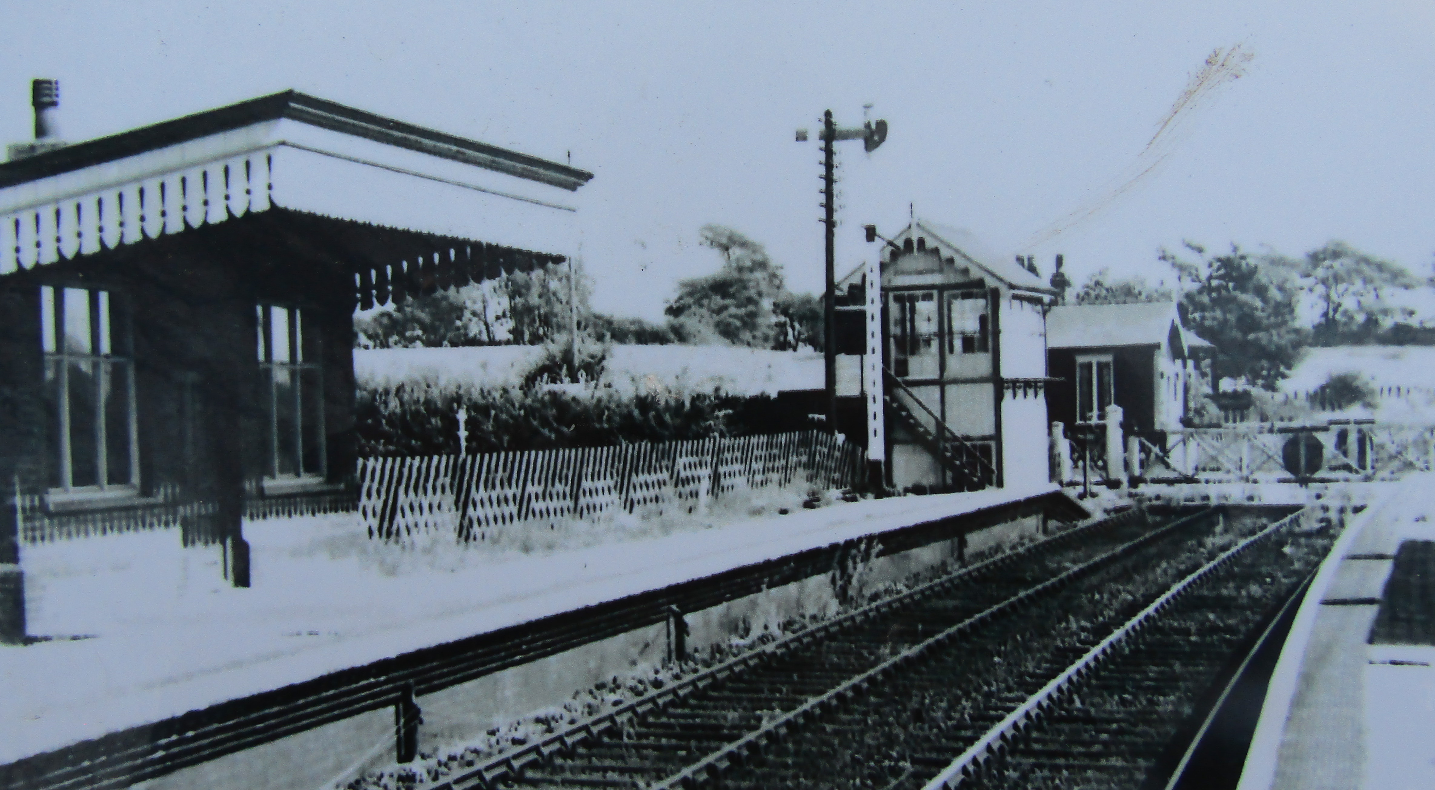
Honing railway station
Honing railway station was a station in Norfolk, England, serving the small village of Honing. It was on the Midland and Great Northern Joint Railway between...
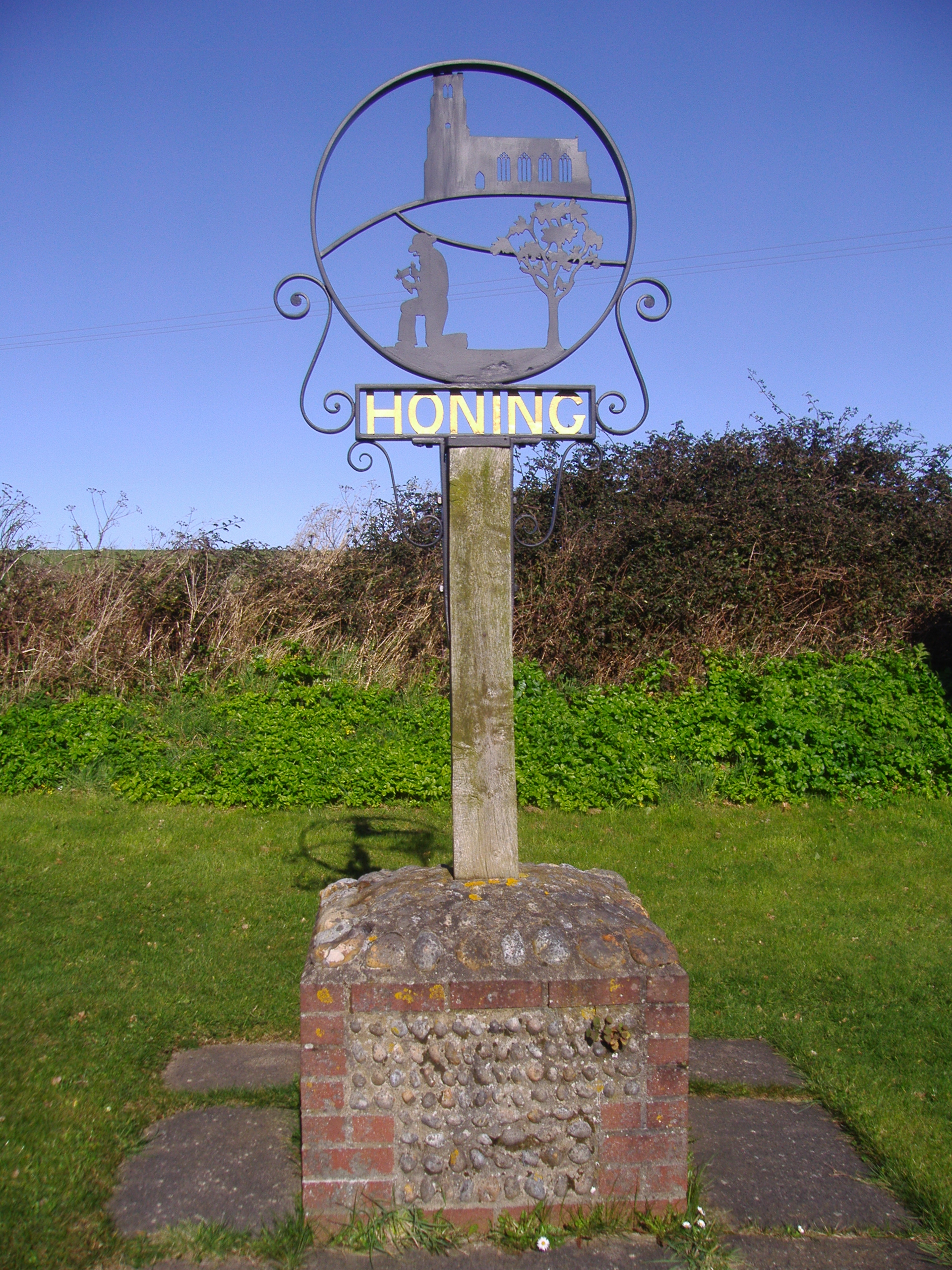
Honing, Norfolk
Honing is a village and a civil parish in the English county of Norfolk. The village is 15 miles (24 km) north-northeast of Norwich, 13 miles (21 km) south...

Bengate
Bengate is a hamlet in Norfolk, England, and falls within the civil parish of Worstead. There is little in Bengate, but it is known for the Weavers' Way...
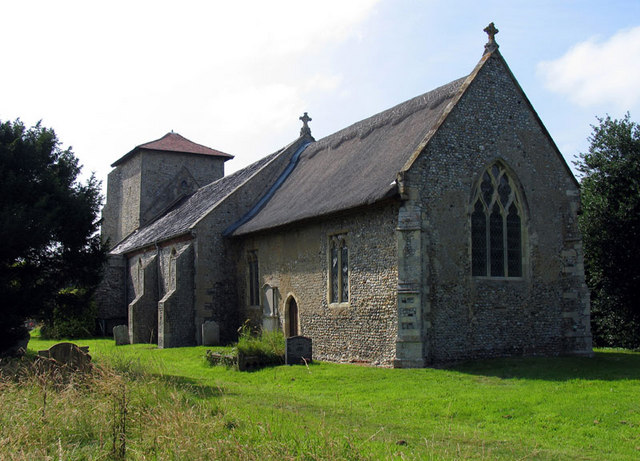
Crostwight
Crostwight is a small village and former civil parish, now in the parish of Honing, in the North Norfolk district, in the north-east of the county of Norfolk...
North Walsham High School
North Walsham High School is a co-educational secondary school located in North Walsham in the English county of Norfolk. On the same site there is the...
Witton, North Norfolk
Witton is a village and civil parish in the English county of Norfolk. It is located 8 km (5.0 mi) east of the town of North Walsham and 30 km (19 mi)...
Nearby Amenities
Located within 500m of 52.815978,1.4344245Have you been to The Round Wood?
Leave your review of The Round Wood below (or comments, questions and feedback).