Queen Mary's Plantation
Wood, Forest in Suffolk East Suffolk
England
Queen Mary's Plantation

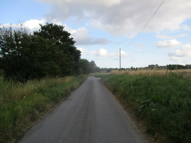
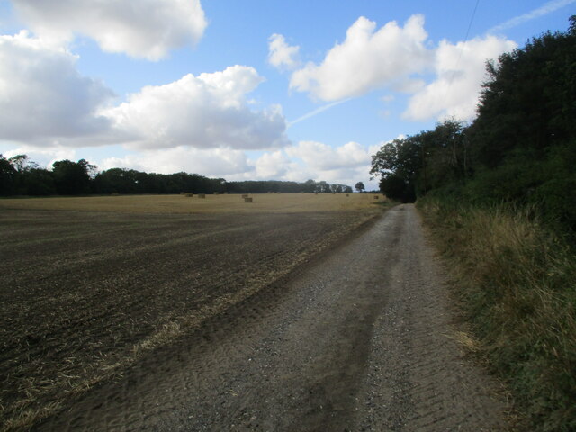
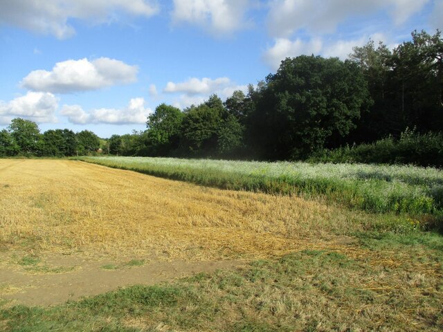
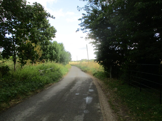
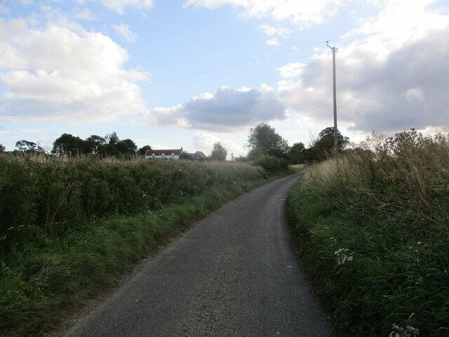
Queen Mary's Plantation, located in Suffolk, England, is a picturesque woodland area that spans over several acres. This enchanting forest, also known as Queen Mary's Wood, is a popular destination for nature enthusiasts and history buffs alike.
The plantation is named after Queen Mary I, who ruled England during the 16th century. It is believed that she used this woodland area as a hunting ground during her reign. The forest boasts a rich history, with remnants of ancient trees dating back several centuries.
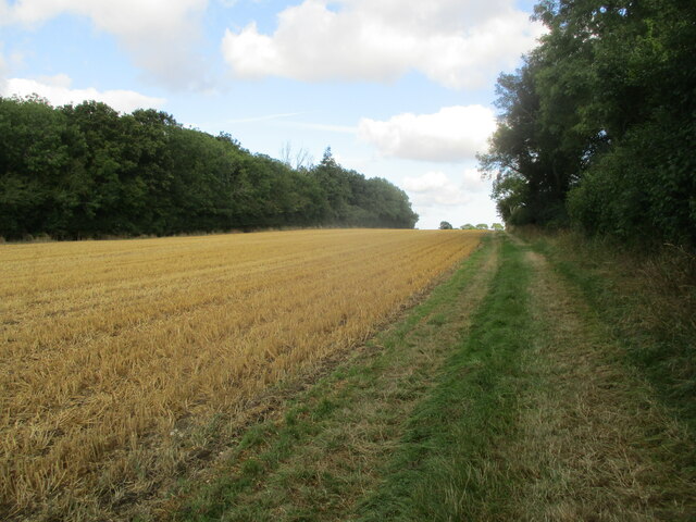
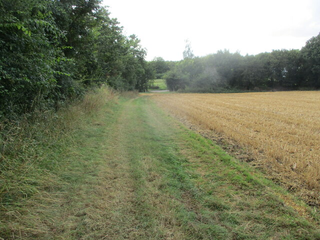
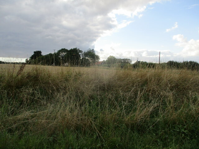
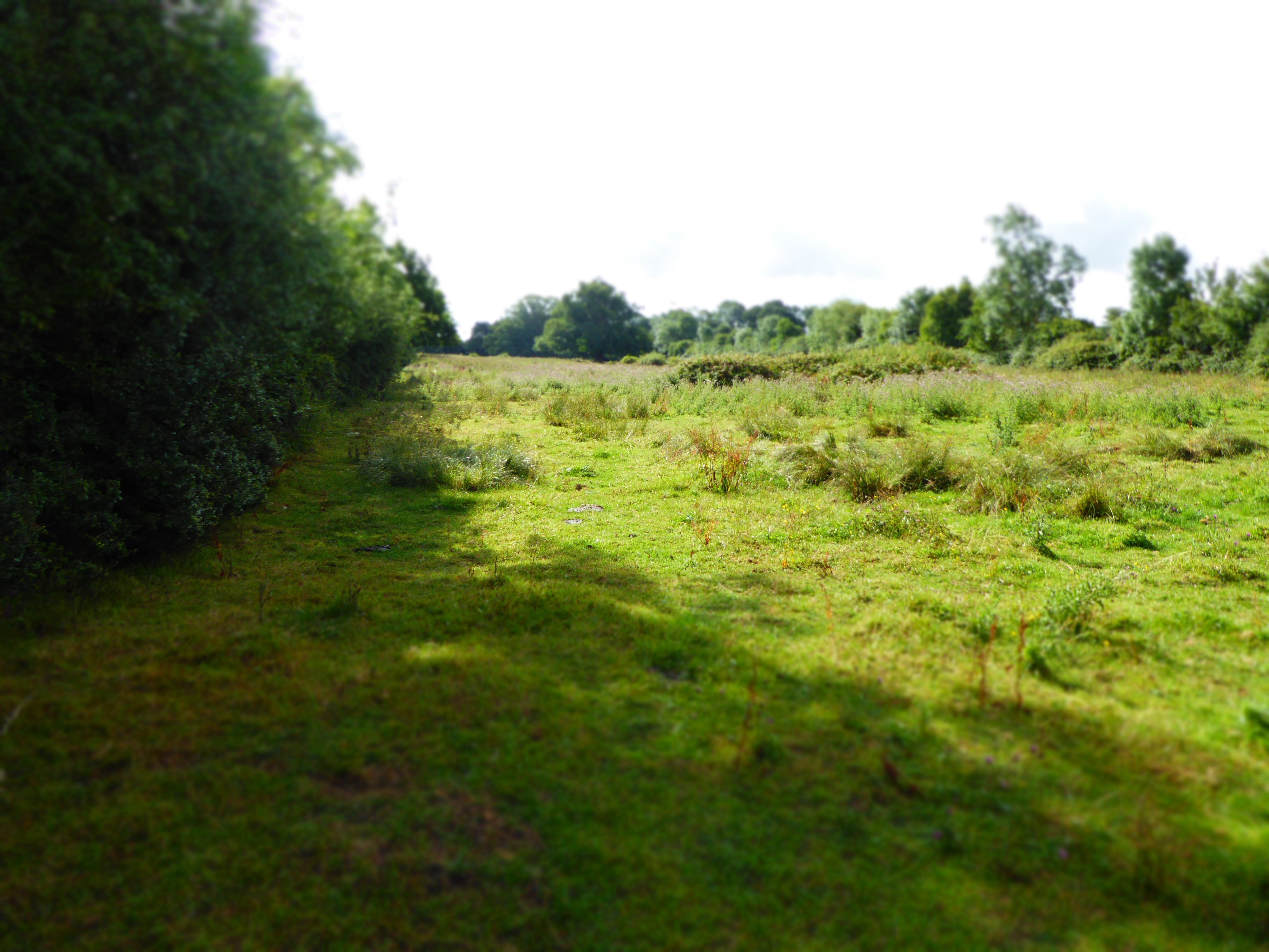
As visitors enter the plantation, they are greeted by a canopy of towering oak and beech trees, creating a serene and tranquil atmosphere. The forest floor is covered with a lush carpet of ferns, wildflowers, and moss, adding to the beauty and diversity of the area.
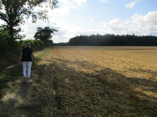
The plantation is home to a diverse range of wildlife, including deer, rabbits, and a variety of bird species. It provides a natural habitat for these animals, making it an ideal location for birdwatching and wildlife spotting.
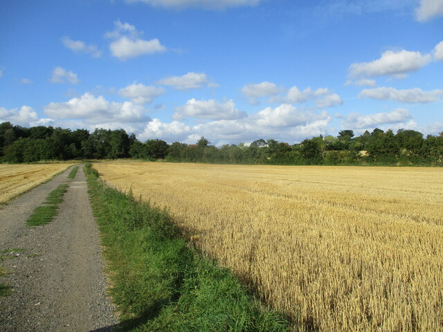
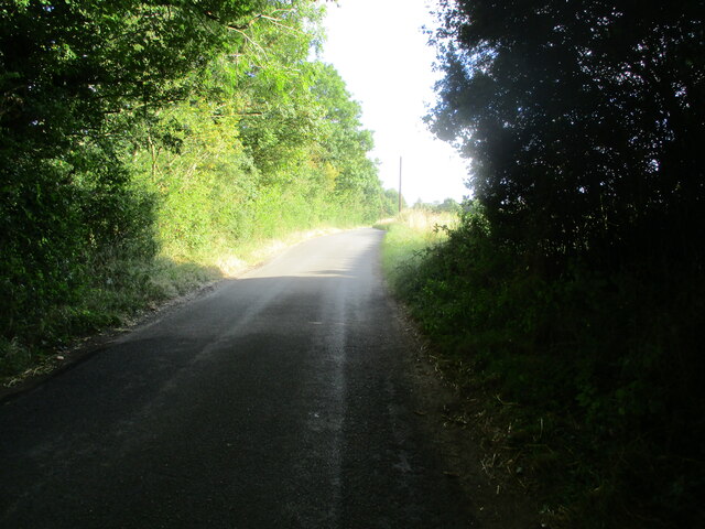
Visitors can explore the plantation through a network of well-maintained footpaths, allowing them to immerse themselves in the natural surroundings. The trails wind through the woodland, revealing hidden clearings, babbling brooks, and ancient ruins.
Queen Mary's Plantation offers a unique opportunity to connect with nature and experience the beauty of Suffolk's countryside. Its rich history, diverse wildlife, and stunning landscapes make it a must-visit destination for those seeking a peaceful retreat or a chance to delve into England's past.
If you have any feedback on the listing, please let us know in the comments section below.
Queen Mary's Plantation Images
Images are sourced within 2km of 52.213412/1.3883573 or Grid Reference TM3162. Thanks to Geograph Open Source API. All images are credited.


Queen Mary's Plantation is located at Grid Ref: TM3162 (Lat: 52.213412, Lng: 1.3883573)
Administrative County: Suffolk
District: East Suffolk
Police Authority: Suffolk
What 3 Words
///validated.clock.scatters. Near Framlingham, Suffolk
Nearby Locations
Related Wikis
Cransford Meadow
Cransford Meadow is a 4.6-hectare (11-acre) biological Site of Special Scientific Interest south of Cransford in Suffolk.This unimproved grassland site...

Norwich Crag Formation
The Norwich Crag Formation is a stratigraphic unit of the British Pleistocene Epoch. It is the second youngest unit of the Crag Group, a sequence of four...

Cransford
Cransford is a village and a civil parish in the East Suffolk district, in the English county of Suffolk. The civil parish had a population at the 2011...

Parham, Suffolk
Parham is a village and civil parish in the East Suffolk district of Suffolk in eastern England. Located seven miles north of Woodbridge, in 2005 it had...

Parham railway station
Parham railway station was a station located in Parham, Suffolk.The station opened in 1859 and closed for passenger services in November 1952. == References... ==
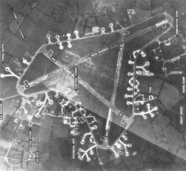
RAF Framlingham
Royal Air Force Framlingham or more simply RAF Framlingham is a former Royal Air Force station located 3 miles (4.8 km) southeast of Framlingham, Suffolk...

Parham Airfield Museum
Parham Airfield Museum is a museum in Framlingham in Suffolk, England. The airfield was named after the village of Parham in Suffolk famously linked to...

Great Glemham
Great Glemham is a village and civil parish in the East Suffolk district, England, a mile and a half to the west of the A12 and roughly equidistant between...
Nearby Amenities
Located within 500m of 52.213412,1.3883573Have you been to Queen Mary's Plantation?
Leave your review of Queen Mary's Plantation below (or comments, questions and feedback).