The Carr
Wood, Forest in Norfolk Broadland
England
The Carr
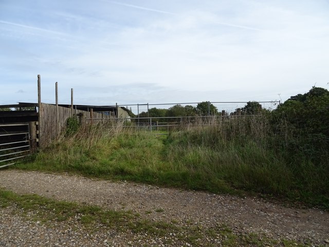
The Carr, Norfolk, also known as the Wood or Forest, is a picturesque area located in the county of Norfolk, England. Covering an expansive stretch of land, it is renowned for its lush greenery, diverse wildlife, and tranquil atmosphere.
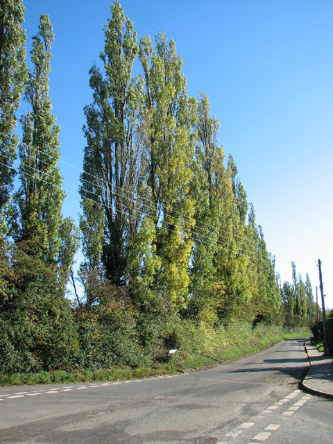
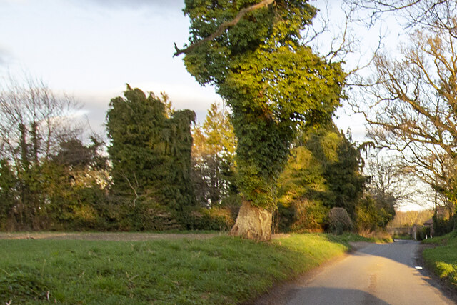
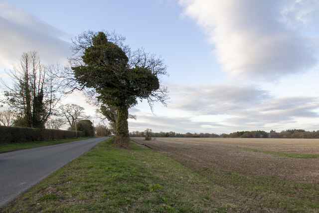
The Carr is characterized by its dense woodlands, which are dominated by a variety of tree species such as oak, beech, and birch. These trees create a captivating canopy that provides shade and a sense of serenity for visitors. The forest floor is adorned with an abundance of flora, including bluebells, ferns, and wildflowers, creating a vibrant and colorful landscape.
The area is rich in wildlife, offering a haven for numerous species. Birdwatchers will delight in the opportunity to spot a variety of birds, including woodpeckers, owls, and pheasants. The Carr is also home to mammals like deer, foxes, and rabbits, which can often be observed in their natural habitat.
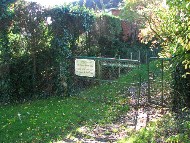
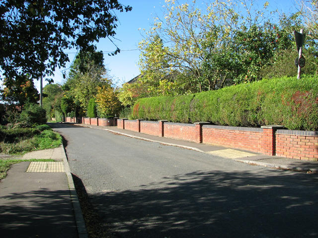
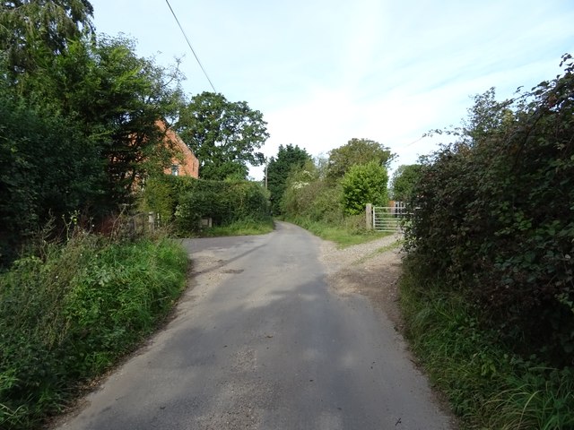
The Carr is a popular destination for nature lovers and outdoor enthusiasts. It offers a network of well-maintained walking trails, allowing visitors to explore the area and take in its natural beauty. The forest is also a fantastic location for camping, picnicking, and photography, with many scenic spots to capture breathtaking views.
With its tranquil ambiance, diverse wildlife, and stunning natural scenery, The Carr, Norfolk, is a captivating destination that offers a refreshing escape from the hustle and bustle of everyday life. Whether one seeks solace in the serenity of the woods or an opportunity to connect with nature, The Carr provides an unforgettable experience for all who venture into its enchanting embrace.
If you have any feedback on the listing, please let us know in the comments section below.
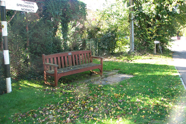
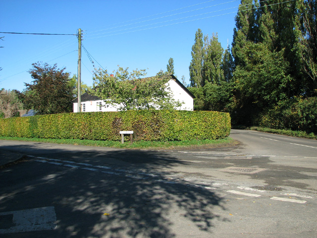
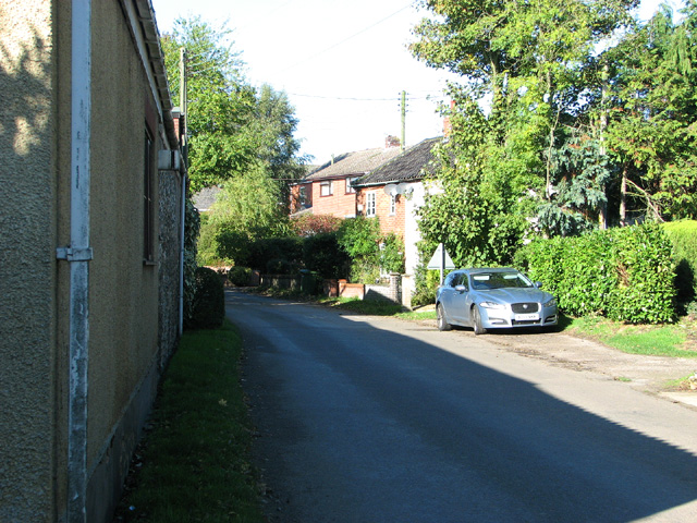
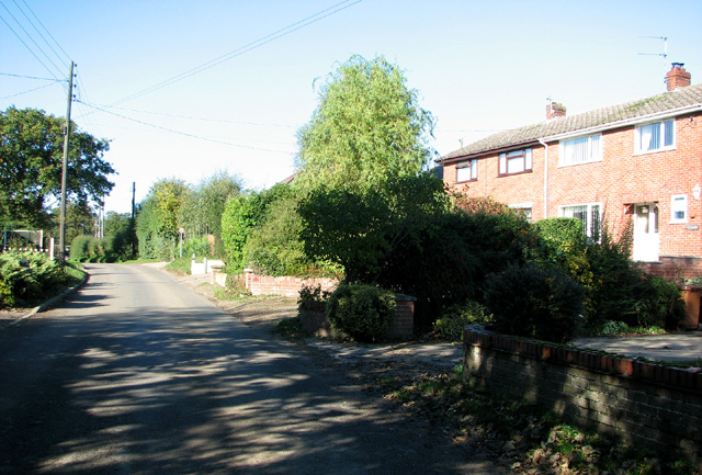
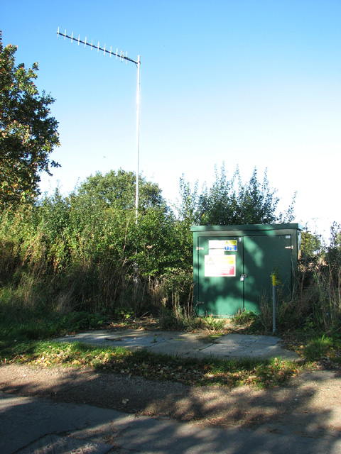
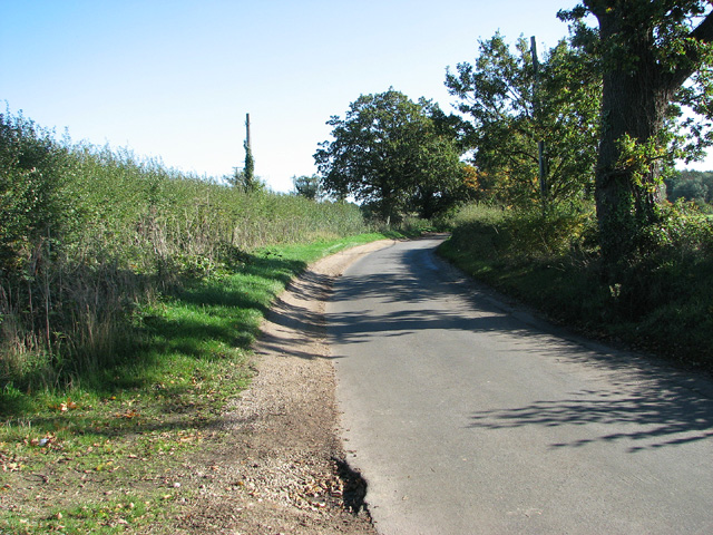
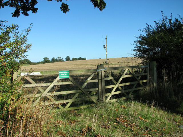
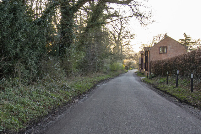
The Carr Images
Images are sourced within 2km of 52.648028/1.4222724 or Grid Reference TG3111. Thanks to Geograph Open Source API. All images are credited.
The Carr is located at Grid Ref: TG3111 (Lat: 52.648028, Lng: 1.4222724)
Administrative County: Norfolk
District: Broadland
Police Authority: Norfolk
What 3 Words
///directive.landmark.skims. Near Brundall, Norfolk
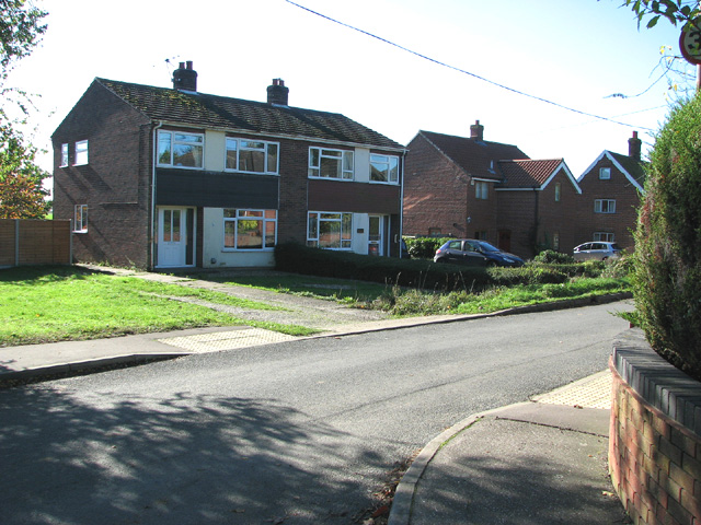
Nearby Locations
Related Wikis

Great and Little Plumstead
Great and Little Plumstead is a civil parish in the English county of Norfolk consisting of the villages of Great Plumstead, Little Plumstead and Thorpe...

Blofield Heath
Blofield Heath is a hamlet in the civil parish of Blofield, in the Broadland district, in the county of Norfolk, England. It is about 7 miles from Norwich...

Blofield
Blofield is a village and civil parish in the Broadland district of Norfolk, England. The parish includes Blofield and the hamlets of Blofield Heath and...
Norwich United F.C.
Norwich United Football Club is a football club based in Blofield, Norfolk, England. Affiliated to the Norfolk County FA, they play at Plantation Park...

Brundall
Brundall is a village and civil parish in the English county of Norfolk. It is located on the north bank of the River Yare opposite Surlingham Broad and...
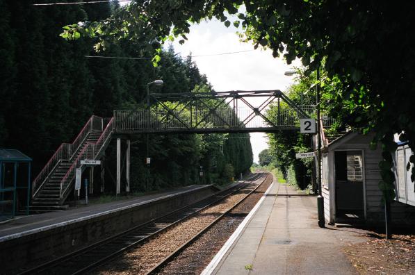
Brundall Gardens railway station
Brundall Gardens railway station is on the Wherry Lines in the East of England, serving the western side of the village of Brundall, Norfolk. It is 4 miles...
Postwick with Witton
Postwick with Witton ( ) is a civil parish on the Broads in the English county of Norfolk, comprising the two adjacent villages of Postwick and Witton...
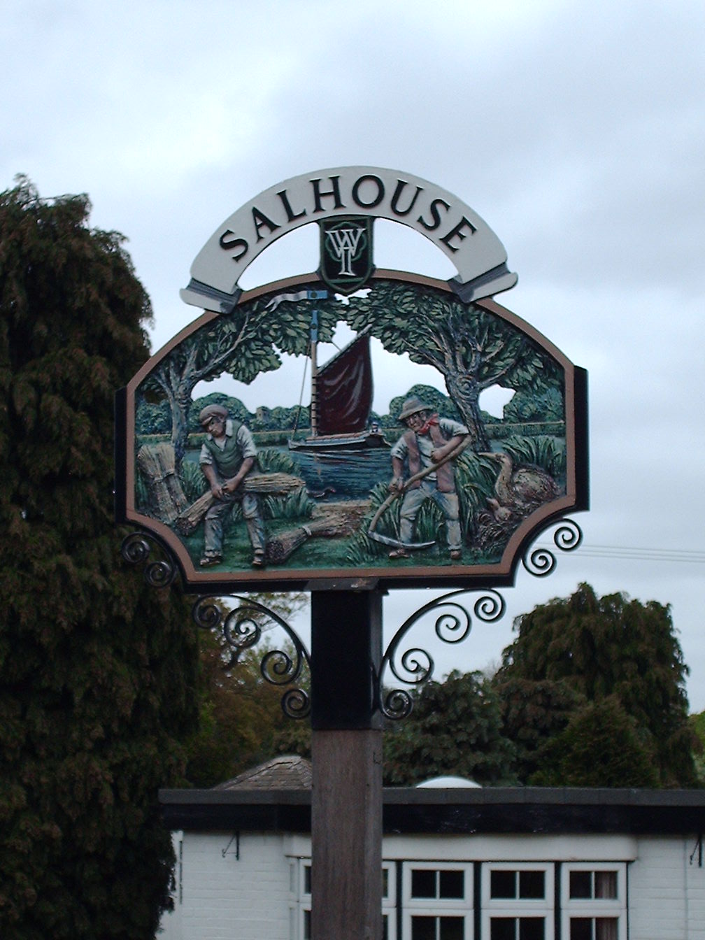
Salhouse
Salhouse is a village and civil parish in the Broads in the English county of Norfolk. It lies south of the River Bure and Salhouse Broad, about 10 kilometres...
Nearby Amenities
Located within 500m of 52.648028,1.4222724Have you been to The Carr?
Leave your review of The Carr below (or comments, questions and feedback).