Young Trees

Wood, Forest in Norfolk South Norfolk

England

Young Trees

Crop field, Kirstead Green
Crop field, Kirstead Green Credit: JThomas

Young Trees is a woodland area located in Norfolk, England. Covering a vast expanse of land, it is known for its dense growth of young trees and lush greenery. The forest is situated in a rural area, away from the hustle and bustle of city life, providing a serene and peaceful environment for visitors to enjoy.

The woodland is predominantly composed of native tree species, including oak, birch, beech, and pine. These young trees are still in their early stages of growth, with many reaching heights of only a few meters. The forest floor is covered in a thick layer of leaf litter, creating a natural carpet of decomposing organic material.

Young Trees is home to a diverse range of wildlife, with various bird species, such as woodpeckers and owls, inhabiting the area. Visitors may also spot small mammals like squirrels and rabbits scurrying among the undergrowth. The woodland provides an important habitat for these creatures, offering shelter and food sources.

The forest is open to the public, with well-maintained paths and trails allowing visitors to explore the area. There are picnic areas and benches scattered throughout, providing opportunities for relaxation and enjoying the tranquil surroundings. The forest also offers educational programs and guided tours, allowing visitors to learn about the importance of woodland conservation and the various species that call Young Trees their home.

Overall, Young Trees in Norfolk is a peaceful and picturesque woodland, offering a chance to escape the pressures of everyday life and immerse oneself in the beauty of nature.

If you have any feedback on the listing, please let us know in the comments section below.
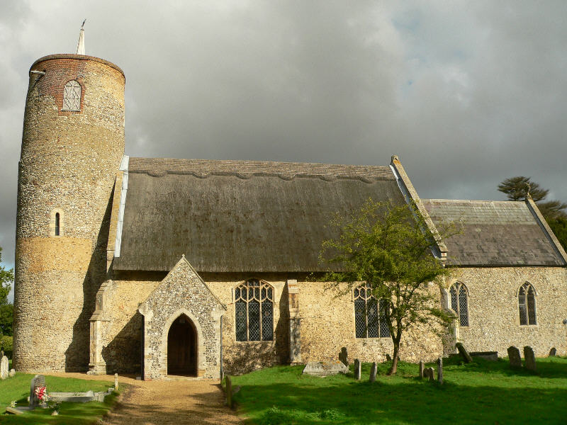
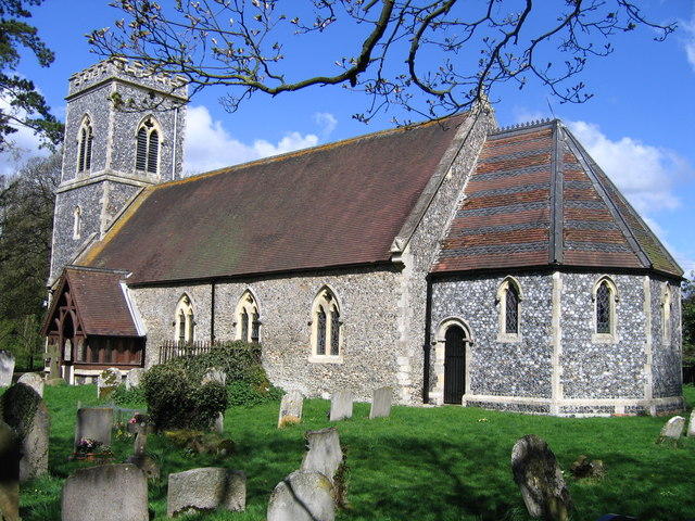
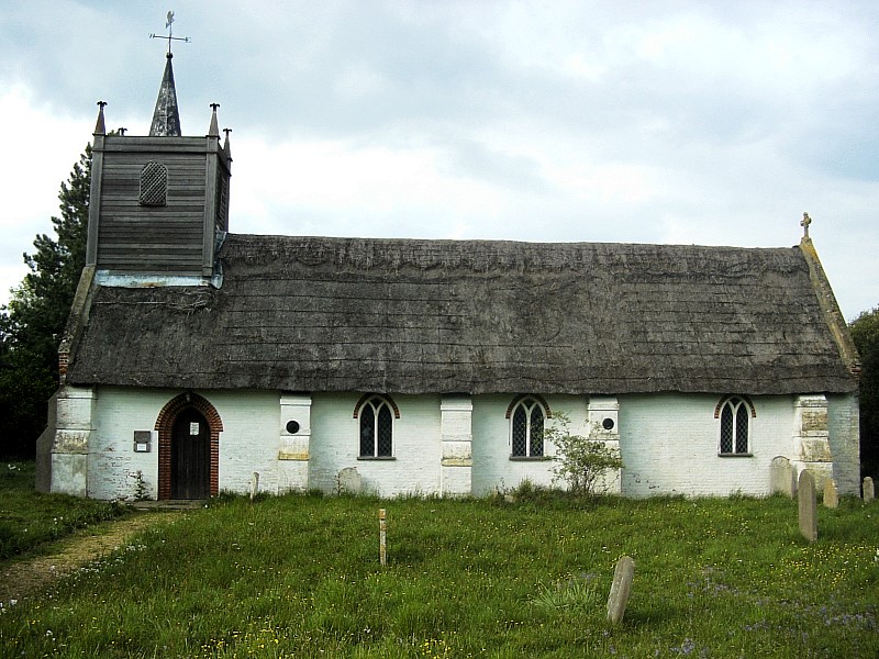
Young Trees Images

Images are sourced within 2km of 52.528786/1.4128977 or Grid Reference TM3197. Thanks to Geograph Open Source API. All images are credited.

Crop field, Kirstead Green
Green Man Lane, Kirstead Green
Loddon Road near Seething
Mundham village sign on Loddon Road
Seething village sign on Loddon Road
Brooke Road Seething at Mill Lane
Field off Brooke Road Seething
Seething  church of SS Margaret and Remigius
Seething church of SS Margaret and Remigius
The altar of the church of SS Margaret and Remigius Seething
The font of the church of SS Margaret and Remigius Seething
Park Mere Seething
Park Mere Seething
Seething Street Seething
Derelict garage, Seething
Seething war memorial at junction of School Road and Seething Street
Brooke Road leaving Seething village
Brooke Road near Seething with post box
Cherry Tree House (ex Cherry Tree Pub) on Brooke Road Seething
Seething House Brooke Road Seething
Show me another place!

Young Trees is located at Grid Ref: TM3197 (Lat: 52.528786, Lng: 1.4128977)

Administrative County: Norfolk

District: South Norfolk

Police Authority: Norfolk

What 3 Words

///listings.washroom.mixing. Near Brooke, Norfolk

Related Wikis

Seething

Seething is a village and civil parish in the English county of Norfolk. It is around 8+1⁄2 miles (13.7 km) south-east of Norwich and 2+3⁄4 miles (4.4...

Kirstead

Kirstead is a civil parish in the English county of Norfolk. The main settlement is Kirstead Green. The parish covers an area of 4.19 km2 (1.62 sq mi)...

Mundham

Mundham, historically Mundaham or Mundhala, is a small village and civil parish in the county of Norfolk, England. Archaeological and toponymic evidence...

Seething Airfield

Seething Airfield (ICAO: EGSJ), formerly RAF Seething, is located 9 NM (17 km; 10 mi) south southeast of Norwich, East Anglia, England. Seething Airfield...

RAF Seething

Royal Air Force Seething, or more simply RAF Seething , is a former Royal Air Force station located around 9 NM (17 km; 10 mi) south-east of Norwich, Norfolk...

Kirstead Green

Kirstead Green is a village in the English county of Norfolk. Administratively it is part of the civil parish of Kirstead within the district of South...

Bergh Apton Anglo-Saxon cemetery

Bergh Apton Anglo-Saxon cemetery is a late-5th to late-6th century Anglo-Saxon burial site discovered at Bergh Apton, Norfolk. The site was excavated in...

Sisland

Sisland, historically Sislanda, is a very small village, manor and parish in the county of Norfolk, England, about a mile west of Loddon. In the 2001 census...

Nearby Amenities

Located within 500m of 52.528786,1.4128977
Seething
Is In: Norfolk, UK
Place: village
Postal Code: NR15
Source: NPE maps
Wikidata: Q2721039
Wikipedia: en:Seething
Lat/Long: 52.5266644/1.4160655
School Road, opp
Naptan AtcoCode: 2900S132
Naptan Bearing: E
Naptan BusStopType: CUS
Naptan CommonName: School Road
Naptan Indicator: opp
Naptan Locality: Seething
Naptan NaptanCode: nfodtdtd
Naptan Street: The Green
Naptan Verified: no
Source: naptan_import
Lat/Long: 52.5304565/1.4181685
School Road, adj
Naptan AtcoCode: 2900S133
Naptan Bearing: SW
Naptan BusStopType: CUS
Naptan CommonName: School Road
Naptan Indicator: adj
Naptan Locality: Seething
Naptan NaptanCode: nfodtdtg
Naptan Street: The Green
Naptan Verified: no
Source: naptan_import
Lat/Long: 52.5304924/1.4181713
Seething
Inscription: This Millennium Sign, generously donated by Colin and Beryl Carver / designed by Elizabeth Tozer was erected on 31st. December 2000
Man Made: village_sign
Material: metal
Start Date: 2000-12-31
Lat/Long: 52.5304304/1.4177488
Barrier: kissing_gate
Bicycle: no
Foot: yes
Lat/Long: 52.5287496/1.418035
War Memorial
Description: Tall stone cross above inscribed pedestal atop a large stone square base, set on small triangle os grass.
Historic: memorial
Inscription: In Memory of the Seething Men Who Fell in the Great War 1914 - 1918 (5 mens names and regiments engraved). Let those who come after them forget not their names.
Lat/Long: 52.5283458/1.4181576
Description: Polished large grey marble plaque on same base.
Historic: memorial
Inscription: 448th Bomb Group. In Memory of the Men of the 448th Bomb Group 8th United States Air Force Who Served at Seething Airfield December 1943 to April 1945 Fighting for Freedom, 350 Men Killed in Action. Dedicated June 6th 1984
Memorial: war_memorial
Lat/Long: 52.530325/1.4184281
Location Transition: yes
Power: pole
Lat/Long: 52.5270163/1.4184659
Give Way
Lat/Long: 52.5305031/1.4176136
Give Way
Lat/Long: 52.5305768/1.4194919
Entrance: main
Lat/Long: 52.5299161/1.4185028
Crossing
Crossing: unmarked
Tactile Paving: yes
Lat/Long: 52.5304147/1.4176373
Post Office
Seething Post Office
Brand: Post Office
Brand Wikidata: Q1783168
Note: Has been closed by Covid but should now be open. Times might not be as advertised.
Ref Pol Id: 5595
Website: https://www.postoffice.co.uk/branch-finder/184136x/seething
Lat/Long: 52.527022/1.4176447
The data included in this document is from www.openstreetmap.org. The data is made available under ODbL.

Have you been to Young Trees?

Leave your review of Young Trees below (or comments, questions and feedback).