Valley Wood
Wood, Forest in Suffolk East Suffolk
England
Valley Wood
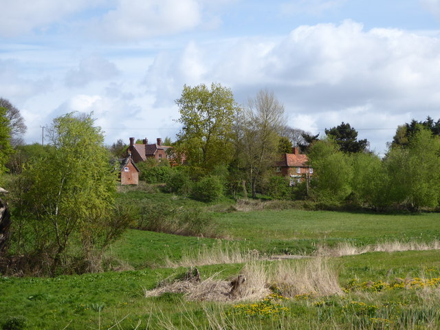
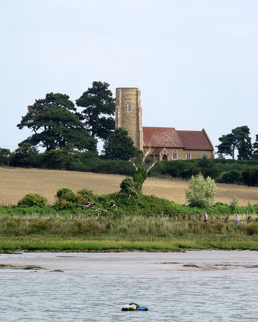
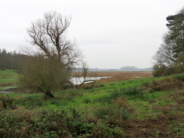
Valley Wood is a picturesque forest located in Suffolk, England. Covering an area of approximately 100 acres, it is characterized by its abundant trees, diverse wildlife, and serene atmosphere. The wood is situated in a valley, hence the name, which adds to its natural beauty and charm.
The woodland, predominantly made up of broadleaf trees such as oak, beech, and birch, provides a dense canopy that shields the forest floor from direct sunlight, creating a cool and peaceful environment. The forest floor itself is covered in a thick layer of fallen leaves and moss, giving it a soft and cushioned feel underfoot.
Valley Wood is home to a wide range of wildlife, making it a haven for nature enthusiasts and birdwatchers. Visitors can spot a variety of bird species, including woodpeckers, owls, and buzzards. The forest is also inhabited by deer, foxes, badgers, and rabbits, among other mammals, adding to the richness of its biodiversity.
The wood offers numerous walking trails and paths that wind through the trees, allowing visitors to explore its beauty and tranquility. It is a popular destination for families, dog walkers, and those seeking a peaceful retreat in nature. The abundance of flora and fauna, coupled with the peaceful ambiance, makes Valley Wood an ideal place for nature photography and wildlife observation.
Overall, Valley Wood in Suffolk is a delightful forest that showcases the natural beauty and diversity of the area. Its lush greenery, rich wildlife, and serene atmosphere make it a cherished destination for locals and tourists alike.
If you have any feedback on the listing, please let us know in the comments section below.
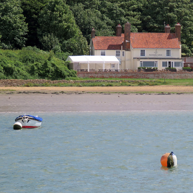
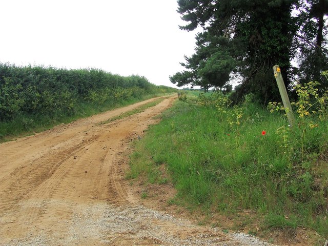
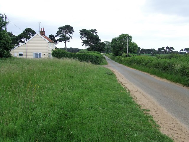
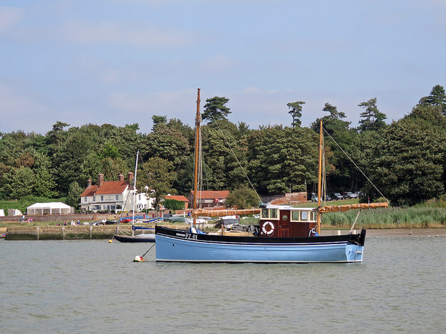
Valley Wood Images
Images are sourced within 2km of 52.027952/1.3734768 or Grid Reference TM3141. Thanks to Geograph Open Source API. All images are credited.
Valley Wood is located at Grid Ref: TM3141 (Lat: 52.027952, Lng: 1.3734768)
Administrative County: Suffolk
District: East Suffolk
Police Authority: Suffolk
What 3 Words
///router.denoting.shears. Near Felixstowe, Suffolk
Nearby Locations
Related Wikis

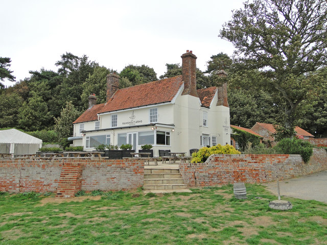
Ramsholt
Ramsholt is a small village and civil parish within the East Suffolk district, located in the county of Suffolk, England. It is situated on the northern...

Ramsholt Cliff
Ramsholt Cliff is a 2.1-hectare (5.2-acre) geological Site of Special Scientific Interest north-west of Ramsholt in Suffolk. It is a Geological Conservation...

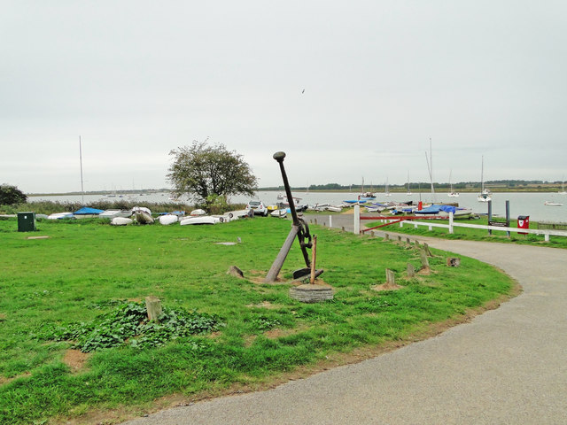
Deben Estuary
Deben Estuary is a 981.1-hectare (2,424-acre) biological Site of Special Scientific Interest (SSSI) covering the River Deben and its banks 12 kilometres...

Rockhall Wood Pit, Sutton
Rockhall Wood Pit, Sutton is a 5.3-hectare (13-acre) geological Site of Special Scientific Interest west of Shottisham in Suffolk. It is a Geological Conservation...
Nearby Amenities
Located within 500m of 52.027952,1.3734768Have you been to Valley Wood?
Leave your review of Valley Wood below (or comments, questions and feedback).