Mill Belt
Wood, Forest in Norfolk Broadland
England
Mill Belt
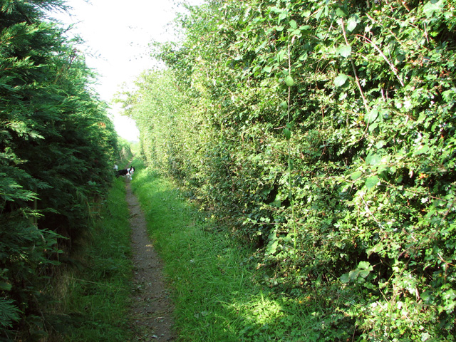
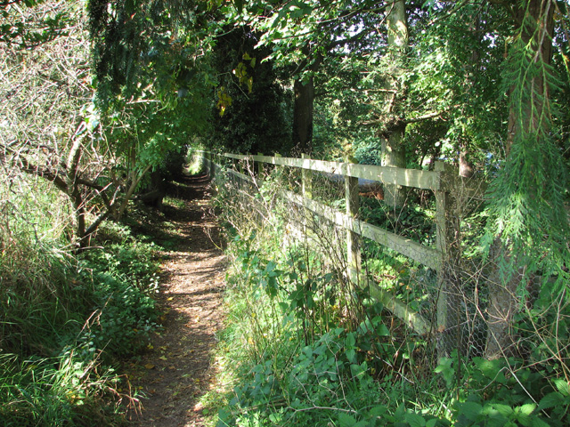
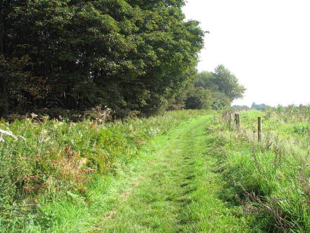
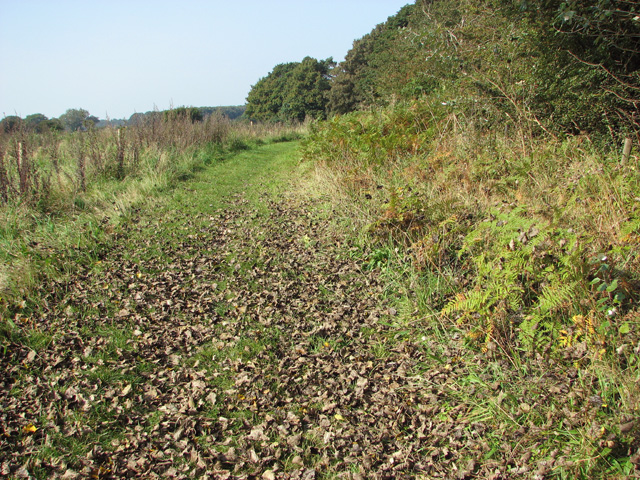
Mill Belt is a small village located in the county of Norfolk, in the eastern part of England. Situated within a dense woodland area, it is often referred to as Mill Belt Wood or Mill Belt Forest due to its abundant tree cover. The village is surrounded by a picturesque landscape of tall oak, ash, and beech trees, creating a serene and tranquil atmosphere.
The community of Mill Belt is relatively small, with a population of approximately 300 residents. The village is characterized by its traditional architecture, with charming cottages and houses made from local materials such as flint and timber. The tight-knit community fosters a strong sense of belonging and neighborliness.
The village takes its name from the historic mill that once stood in the area during the 18th century. Although the mill is no longer operational, its remnants can still be seen, adding to the village's historical charm.
Mill Belt offers a range of outdoor activities for nature enthusiasts, with numerous walking and cycling trails meandering through the surrounding forest. The village is also home to a small, but well-maintained, community park, providing a space for recreational activities such as picnics and children's play.
Despite its secluded location, Mill Belt is well-connected to nearby towns and cities by road, making it an attractive place for those seeking a quiet rural lifestyle while still having access to urban amenities. Overall, Mill Belt is a hidden gem in Norfolk, offering a peaceful retreat for nature lovers and a close-knit community for its residents.
If you have any feedback on the listing, please let us know in the comments section below.
Mill Belt Images
Images are sourced within 2km of 52.676901/1.423421 or Grid Reference TG3114. Thanks to Geograph Open Source API. All images are credited.


Mill Belt is located at Grid Ref: TG3114 (Lat: 52.676901, Lng: 1.423421)
Administrative County: Norfolk
District: Broadland
Police Authority: Norfolk
What 3 Words
///ultra.conductor.musician. Near Rackheath, Norfolk
Nearby Locations
Related Wikis
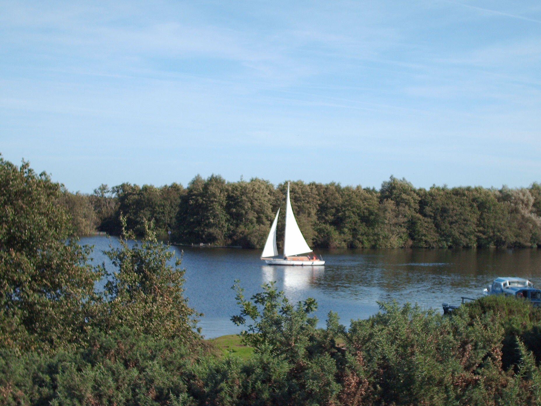
Salhouse Broad
Salhouse Broad, one of the Norfolk Broads, is situated on the River Bure in The Broads in Norfolk, England. The broad is situated just off the river and...

Woodforde's Brewery
Woodforde's Brewery is a brewery located on Slad Lane in the village of Woodbastwick, in the county of Norfolk, England. The brewery produced its first...
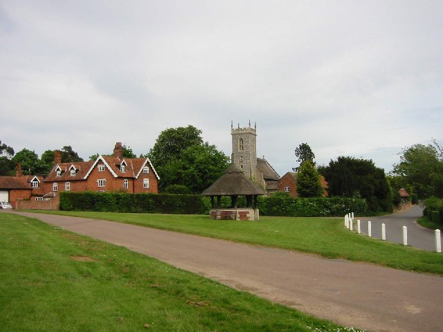
Woodbastwick
Woodbastwick is a village and civil parish in the English county of Norfolk. It is located on the River Bure between Cockshoot Broad and Salhouse Broad...
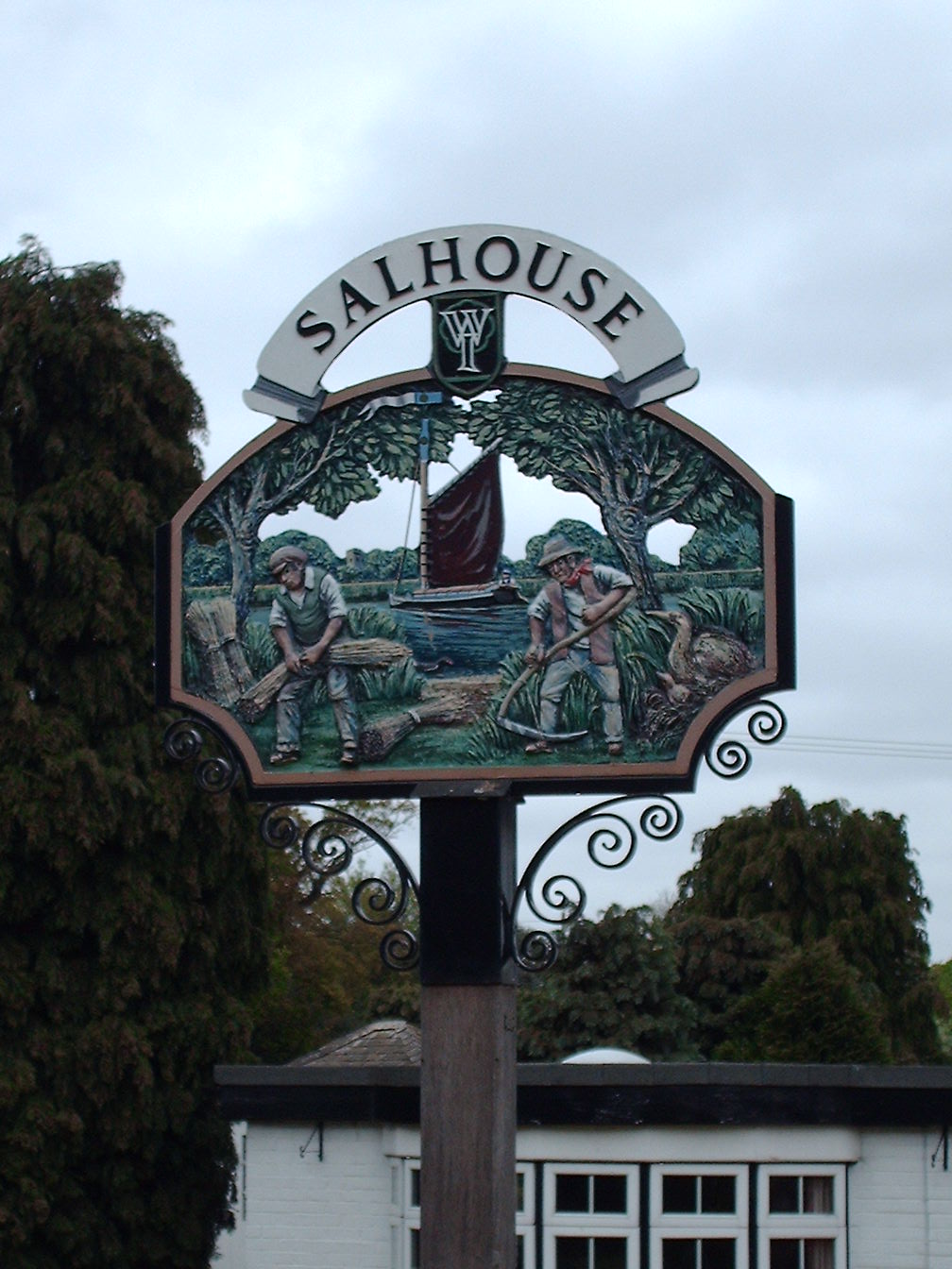
Salhouse
Salhouse is a village and civil parish in the Broads in the English county of Norfolk. It lies south of the River Bure and Salhouse Broad, about 10 kilometres...
Nearby Amenities
Located within 500m of 52.676901,1.423421Have you been to Mill Belt?
Leave your review of Mill Belt below (or comments, questions and feedback).