Oak Wood

Wood, Forest in Suffolk East Suffolk

England

Oak Wood

Ramsholt, Suffolk A tiny hamlet of just a few houses. Compare with this shot taken 11 years previously <a href="https://www.geograph.org.uk/photo/72629">TM3141 : Ramsholt, Suffolk</a>, not much has changed. The largest building is the old school, which was in use until 1927: <a href="https://www.geograph.org.uk/photo/3018053">TM3141 : The Old School, Ramsholt</a>
Ramsholt, Suffolk Credit: Chris Holifield

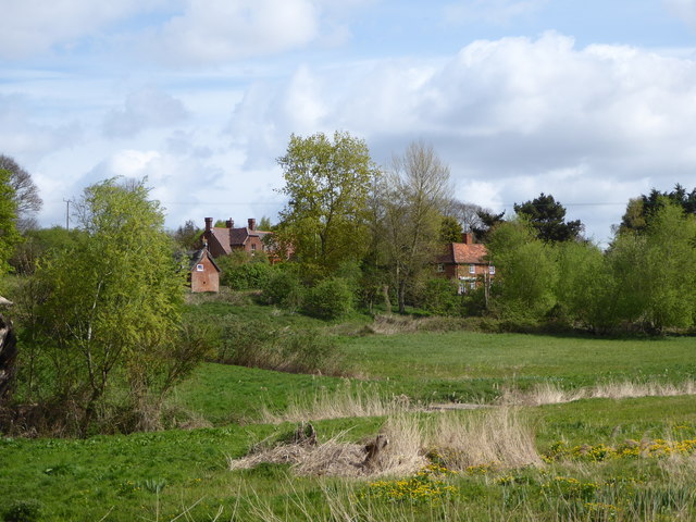
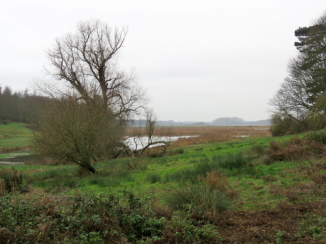
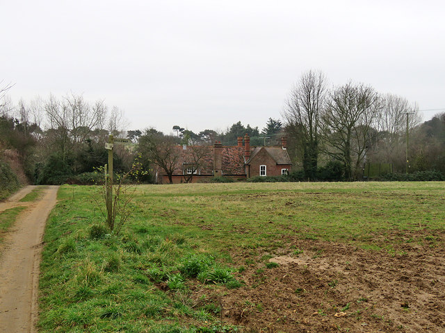
Oak Wood is a picturesque forest located in Suffolk, England. It covers an expansive area of approximately 500 acres and is known for its dense growth of oak trees, which gives the forest its name. The wood is situated in a rural setting, surrounded by rolling hills and a few small villages.

The forest boasts a diverse range of flora and fauna, making it an ideal destination for nature lovers and wildlife enthusiasts. The canopy of oak trees provides a habitat for various bird species, including woodpeckers, owls, and thrushes. Additionally, the forest is home to numerous mammals such as deer, foxes, and squirrels, making it a popular spot for wildlife observation and photography.

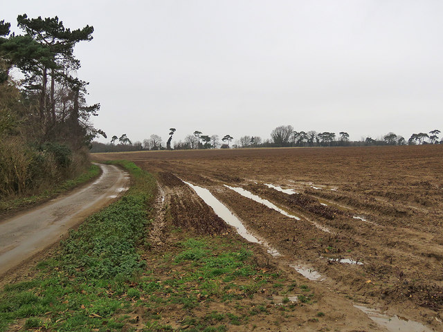
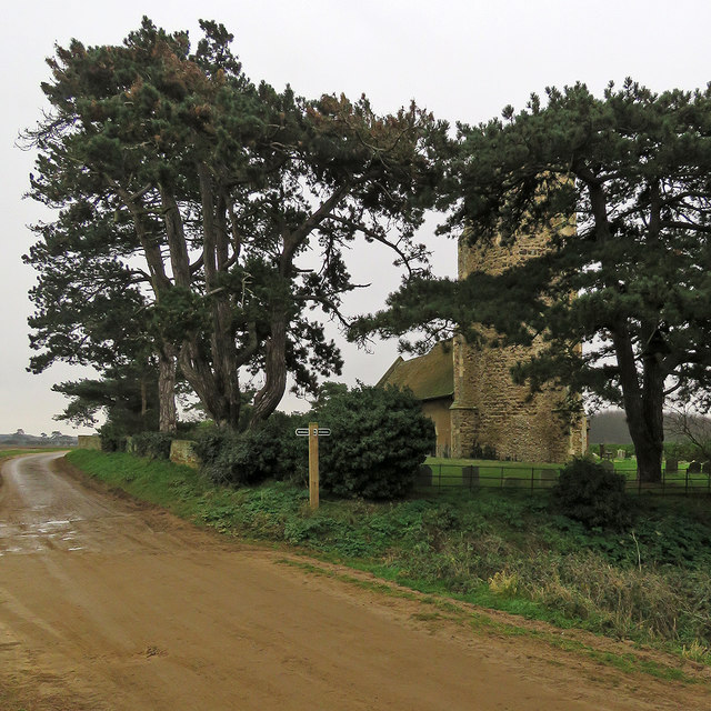
Visitors to Oak Wood can explore its numerous walking trails, which wind through the forest and offer stunning views of the surrounding countryside. The paths are well-maintained, making it accessible for all ages and fitness levels. Along the way, visitors can discover ancient oak trees, some of which are hundreds of years old.

Oak Wood also offers recreational activities such as picnicking and camping, allowing visitors to fully immerse themselves in the tranquility of the forest. The forest is equipped with picnic areas and designated camping spots, providing a serene and peaceful environment for those looking to escape the hustle and bustle of everyday life.

Overall, Oak Wood in Suffolk is a beautiful and enchanting forest, offering a unique opportunity to experience the beauty of nature and immerse oneself in the serenity of the surrounding woodlands.

If you have any feedback on the listing, please let us know in the comments section below.
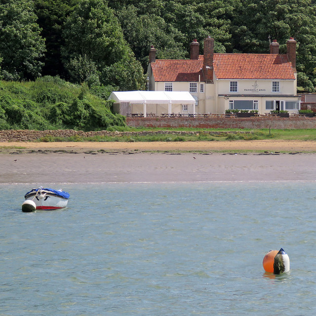
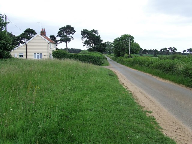
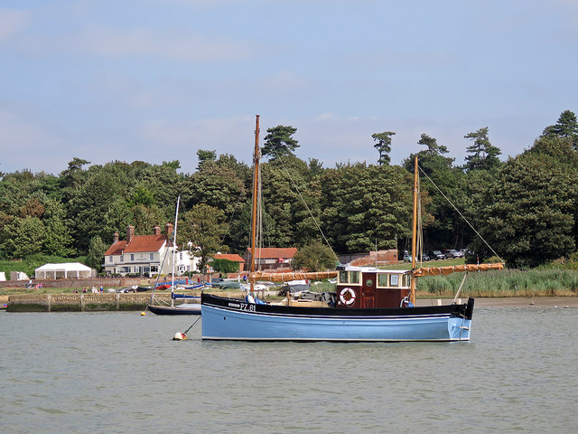
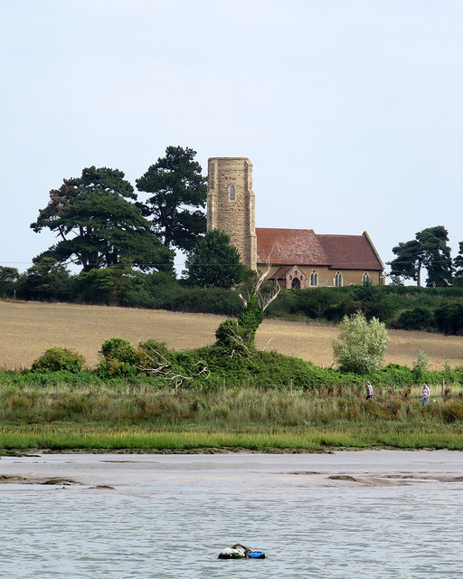
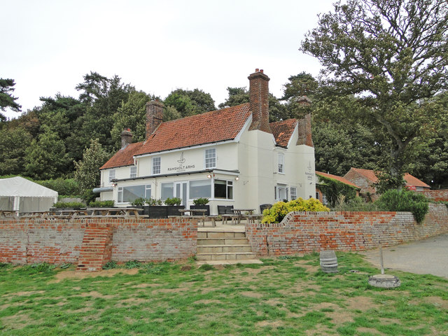
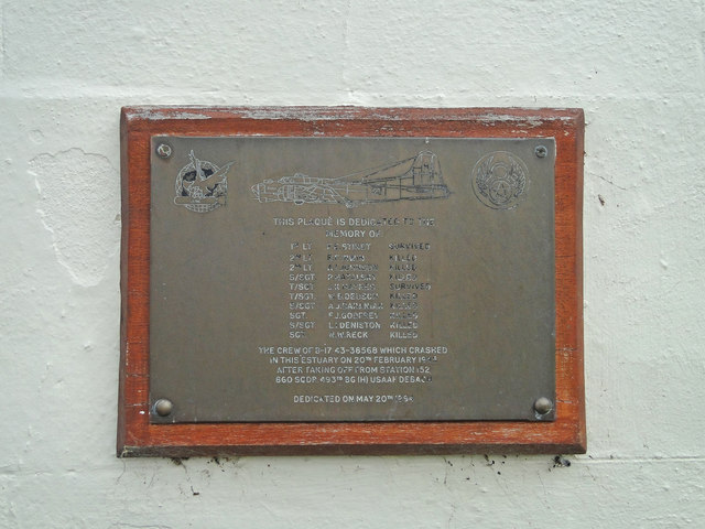
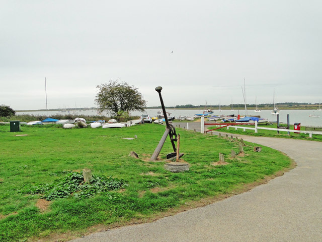
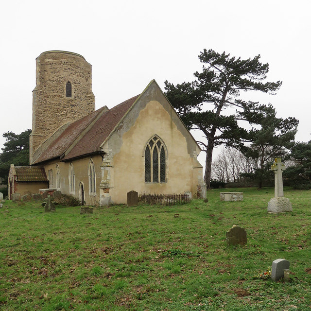
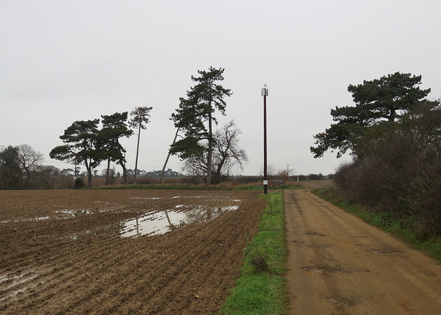
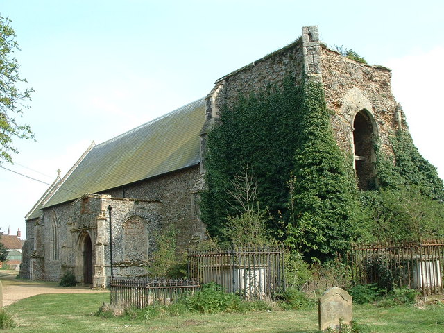
Oak Wood Images

Images are sourced within 2km of 52.027631/1.3699385 or Grid Reference TM3141. Thanks to Geograph Open Source API. All images are credited.

Ramsholt, Suffolk A tiny hamlet of just a few houses. Compare with this shot taken 11 years previously <a href="https://www.geograph.org.uk/photo/72629">TM3141 : Ramsholt, Suffolk</a>, not much has changed. The largest building is the old school, which was in use until 1927: <a href="https://www.geograph.org.uk/photo/3018053">TM3141 : The Old School, Ramsholt</a>
Ramsholt, Suffolk
A tiny hamlet of just a few houses. Compare with this shot taken 11 years previously TM3141 : Ramsholt, Suffolk, not much has changed. The largest building is the old school, which was in use until 1927: TM3141 : The Old School, Ramsholt
On the Deben estuary near Ramsholt A picture taken from a boat sailing upstream towards Waldringfield. Two walkers are on the riverside footpath. All Saints' Church is on the skyline - "Above the Deben estuary. Round, or rather oval, Norman W tower with original archway into the nave. The tower was buttressed later, which gives it an odd outline" (Nikolaus Pevsner).
On the Deben estuary near Ramsholt
A picture taken from a boat sailing upstream towards Waldringfield. Two walkers are on the riverside footpath. All Saints' Church is on the skyline - "Above the Deben estuary. Round, or rather oval, Norman W tower with original archway into the nave. The tower was buttressed later, which gives it an odd outline" (Nikolaus Pevsner).
The Ramsholt Arms A popular pub-restaurant on the Deben estuary, photographed from a boat heading upstream on a sunny August afternoon.
The Ramsholt Arms
A popular pub-restaurant on the Deben estuary, photographed from a boat heading upstream on a sunny August afternoon.
Near Ramsholt Dock Looking towards the quay and The Ramsholt Arms from the water on a lovely August afternoon. The blue boat, PZ.61 "Maid Marion", is a celebrated Cornish lugger which was one of the little ships of the Dunkirk evacuation in 1940 (though actually diverted to assist at Le Havre). It came to the Deben Estuary after the War. For more about it, try <span class="nowrap"><a title="http://www.adls.org.uk/t1/content/maid-marion-1" rel="nofollow ugc noopener" href="http://www.adls.org.uk/t1/content/maid-marion-1">Link</a><img style="margin-left:2px;" alt="External link" title="External link - shift click to open in new window" src="https://s1.geograph.org.uk/img/external.png" width="10" height="10"/></span> .
Near Ramsholt Dock
Looking towards the quay and The Ramsholt Arms from the water on a lovely August afternoon. The blue boat, PZ.61 "Maid Marion", is a celebrated Cornish lugger which was one of the little ships of the Dunkirk evacuation in 1940 (though actually diverted to assist at Le Havre). It came to the Deben Estuary after the War. For more about it, try LinkExternal link .
Passing The Ramsholt Arms Taken from a boat cruising down the Deben estuary on a sunny August morning.
Passing The Ramsholt Arms
Taken from a boat cruising down the Deben estuary on a sunny August morning.
Minor Road And Heath Cottage Looking east along minor road with Heath Cottage near to Alderton, Suffolk.
Minor Road And Heath Cottage
Looking east along minor road with Heath Cottage near to Alderton, Suffolk.
Ramsholt Dock and a war veteran Boats, the popular Ramsholt Arms and the isolated church (half a mile away) are the reasons for visiting Ramsholt Dock. PZ.61 "Maid Marion" is a celebrated Cornish lugger which was one of the little ships of the Dunkirk evacuation in 1940 (though actually diverted to assist at Le Havre). It came to the Deben Estuary after the War. For more about it, try <span class="nowrap"><a title="http://www.adls.org.uk/t1/content/maid-marion-1" rel="nofollow ugc noopener" href="http://www.adls.org.uk/t1/content/maid-marion-1">Link</a><img style="margin-left:2px;" alt="External link" title="External link - shift click to open in new window" src="https://s1.geograph.org.uk/img/external.png" width="10" height="10"/></span> .
Ramsholt Dock and a war veteran
Boats, the popular Ramsholt Arms and the isolated church (half a mile away) are the reasons for visiting Ramsholt Dock. PZ.61 "Maid Marion" is a celebrated Cornish lugger which was one of the little ships of the Dunkirk evacuation in 1940 (though actually diverted to assist at Le Havre). It came to the Deben Estuary after the War. For more about it, try LinkExternal link .
Towards Ramsholt Church The Grade II* listed round-towered All Saints' church is about a quarter of a mile from the riverside, and in <a href="https://www.geograph.org.uk/gridref/TM3042">TM3042</a>. Two women and a dog (on the right) were taking the riverside footpath as our boat passed.
Towards Ramsholt Church
The Grade II* listed round-towered All Saints' church is about a quarter of a mile from the riverside, and in TM3042. Two women and a dog (on the right) were taking the riverside footpath as our boat passed.
Ramsholt Arms, Ramsholt A very popular stop-off for ramblers and boaters.

In 1943 a B17 Flying Fortress crash landed in the River Deben just behind the camera. A memorial recording the event and in memory of the eight crew who were killed can be seen here. <a title="https://www.geograph.org.uk/photo/5914883" href="https://www.geograph.org.uk/photo/5914883">Link</a>
Ramsholt Arms, Ramsholt
A very popular stop-off for ramblers and boaters. In 1943 a B17 Flying Fortress crash landed in the River Deben just behind the camera. A memorial recording the event and in memory of the eight crew who were killed can be seen here. Link
B17 aircrew and crash memorial at the Ramsholt Arms The B-17 43-38568 (Little Davey II) took off from the 493rd Bomb Group’s airfield at Debach at 9.15am heading for Nuremberg. Almost immediately after take-off No 3 engine caught fire. The pilot 1st Lt. Frederick E Stindt feathered the prop and extinguished the fire, but the engine fire quickly re-established and the right wing also began to burn. His best hope was to ditch the plane in shallow water in the River Deben. He managed to follow the River Deben searching for somewhere suitable which turned out to be a point almost opposite the quay at Ramsholt or so he thought. Unfortunately the waters were deeper than he imagined and the plane immediately sank in eighteen feet of water. Only the pilot and Technical Sergeant Jewel K. Haynes the top turret gunner survived.
The Ramsholt Arms.  <a title="https://www.geograph.org.uk/photo/5914873" href="https://www.geograph.org.uk/photo/5914873">Link</a>
B17 aircrew and crash memorial at the Ramsholt Arms
The B-17 43-38568 (Little Davey II) took off from the 493rd Bomb Group’s airfield at Debach at 9.15am heading for Nuremberg. Almost immediately after take-off No 3 engine caught fire. The pilot 1st Lt. Frederick E Stindt feathered the prop and extinguished the fire, but the engine fire quickly re-established and the right wing also began to burn. His best hope was to ditch the plane in shallow water in the River Deben. He managed to follow the River Deben searching for somewhere suitable which turned out to be a point almost opposite the quay at Ramsholt or so he thought. Unfortunately the waters were deeper than he imagined and the plane immediately sank in eighteen feet of water. Only the pilot and Technical Sergeant Jewel K. Haynes the top turret gunner survived. The Ramsholt Arms. Link
Ramsholt Dock, River Deben Boats at anchor and a spare, well aweigh of the riverbed.

The dock was very different on 20th February 1945. <a title="https://www.geograph.org.uk/photo/5914883" href="https://www.geograph.org.uk/photo/5914883">Link</a>
Ramsholt Dock, River Deben
Boats at anchor and a spare, well aweigh of the riverbed. The dock was very different on 20th February 1945. Link
Ramsholt: towards the river A reedy inlet of the Deben, seen from the path from Dock Road to Valley Farm on the cloudy morning of Boxing Day.
Ramsholt: towards the river
A reedy inlet of the Deben, seen from the path from Dock Road to Valley Farm on the cloudy morning of Boxing Day.
Ramsholt: bridle ways and The Old School House The school's heyday was before the Great War - it closed in 1927. The village has dwindled further since then.
Ramsholt: bridle ways and The Old School House
The school's heyday was before the Great War - it closed in 1927. The village has dwindled further since then.
Ramsholt: the lane to the church Standing water on the cloudy morning of Boxing Day.
Ramsholt: the lane to the church
Standing water on the cloudy morning of Boxing Day.
Ramsholt: churchyard trees Little is left of the remote village once served by this church.
Ramsholt: churchyard trees
Little is left of the remote village once served by this church.
Ramsholt: All Saints and a view to the Deben "The buttressed septaria tower is round, not elliptical: illusion of ellipse created by ancient buttresses that run up to the top" (Norman Scarfe, Shell Guide).
Ramsholt: All Saints and a view to the Deben
"The buttressed septaria tower is round, not elliptical: illusion of ellipse created by ancient buttresses that run up to the top" (Norman Scarfe, Shell Guide).
Ramsholt: All Saints from the east "The buttressed septaria tower is round, not elliptical: illusion of ellipse created by ancient buttresses that run up to the top" (Norman Scarfe, Shell Guide).
Ramsholt: All Saints from the east
"The buttressed septaria tower is round, not elliptical: illusion of ellipse created by ancient buttresses that run up to the top" (Norman Scarfe, Shell Guide).
Ramsholt: standing water on Boxing Day Near where the track from Dock Road reaches the lane to Ramsholt Church.
Ramsholt: standing water on Boxing Day
Near where the track from Dock Road reaches the lane to Ramsholt Church.
Show me another place!

Oak Wood is located at Grid Ref: TM3141 (Lat: 52.027631, Lng: 1.3699385)

Administrative County: Suffolk

District: East Suffolk

Police Authority: Suffolk

What 3 Words

///packing.present.cuddled. Near Felixstowe, Suffolk

Related Wikis

Ramsholt

Ramsholt is a small village and civil parish within the East Suffolk district, located in the county of Suffolk, England. It is situated on the northern...

Ramsholt Cliff

Ramsholt Cliff is a 2.1-hectare (5.2-acre) geological Site of Special Scientific Interest north-west of Ramsholt in Suffolk. It is a Geological Conservation...

Deben Estuary

Deben Estuary is a 981.1-hectare (2,424-acre) biological Site of Special Scientific Interest (SSSI) covering the River Deben and its banks 12 kilometres...

Rockhall Wood Pit, Sutton

Rockhall Wood Pit, Sutton is a 5.3-hectare (13-acre) geological Site of Special Scientific Interest west of Shottisham in Suffolk. It is a Geological Conservation...

Hemley

Hemley is a village and a civil parish in the East Suffolk district, in the English county of Suffolk. It is located near the River Deben. Nearby settlements...
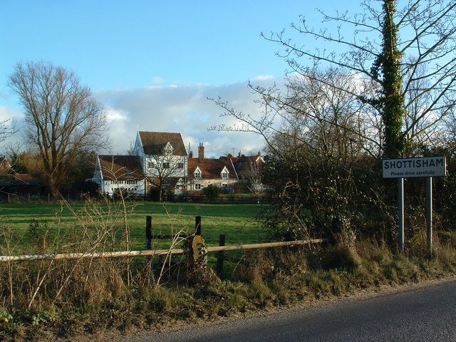
Shottisham

Shottisham is a village and civil parish in the East Suffolk district, in the county of Suffolk. It lies in the Wilford Hundred, about four and a half...

Wilford Hundred

Wilford is a hundred of Suffolk, consisting of 31,500 acres (127 km2).Wilford Hundred extends about 12 miles (19 km) southward from Debach to Woodbridge...

Alderton, Suffolk

Alderton is a village and civil parish in the East Suffolk district of Suffolk, England, about six miles north of Felixstowe, 10 miles south-east of Woodbridge...

Nearby Amenities

Located within 500m of 52.027631,1.3699385
Ramsholt
Place: hamlet
Wikidata: Q2010313
Wikipedia: en:Ramsholt
Lat/Long: 52.0281784/1.3638925
Bus Stop
Demand Responsive Area
Naptan AtcoCode: 390034432
Naptan Bearing: E
Naptan BusStopType: CUS
Naptan CommonName: Demand Responsive Area
Naptan NaptanCode: sufjtjpj
Naptan Street: Suffolk Links
Naptan Verified: no
Source: naptan_import
Lat/Long: 52.0242583/1.3686724
Valley Wood
Place: locality
Lat/Long: 52.0279812/1.373343
Oak Wood
Place: locality
Lat/Long: 52.0276459/1.370073
Larch Wood
Place: locality
Lat/Long: 52.0250759/1.3701327
School Plantation
Place: locality
Lat/Long: 52.0269962/1.3653555
Parking
Access: private
Lat/Long: 52.0262046/1.3687078
Power: pole
Lat/Long: 52.0274324/1.3674787
Power: pole
Lat/Long: 52.0282823/1.3670307
Power: pole
Lat/Long: 52.0285134/1.3676852
The data included in this document is from www.openstreetmap.org. The data is made available under ODbL.

Have you been to Oak Wood?

Leave your review of Oak Wood below (or comments, questions and feedback).