Carman's Lane Belt
Wood, Forest in Norfolk North Norfolk
England
Carman's Lane Belt

Carman's Lane Belt is a picturesque woodland area located in Norfolk, England. This enchanting forest is nestled in the heart of the countryside, providing a serene and tranquil escape from the bustling city life. Covering an extensive area, Carman's Lane Belt is a haven for nature lovers, offering a diverse range of flora and fauna.
The woodland is predominantly composed of a mix of deciduous and coniferous trees, creating a beautiful tapestry of colors throughout the seasons. Tall oak trees stand majestically, their branches reaching towards the sky, while spruce and pine trees provide a pleasant aroma that fills the air. The forest floor is adorned with a carpet of wildflowers, adding a vibrant touch to the landscape.
Carman's Lane Belt is home to a variety of wildlife, making it a perfect destination for nature enthusiasts and birdwatchers. Visitors may catch a glimpse of deer gracefully grazing, or spot squirrels playfully darting among the branches. The forest is also a sanctuary for a wide array of bird species, including woodpeckers, owls, and songbirds, filling the air with their melodious tunes.
The forest offers several walking trails, allowing visitors to explore its beauty at their own pace. The peaceful atmosphere and the gentle rustling of leaves create a calming ambiance, making it an ideal spot for relaxation and mindfulness.
Carman's Lane Belt is a true gem in Norfolk's natural landscape, providing a serene escape and an opportunity to reconnect with nature. Whether it is a leisurely stroll, birdwatching, or simply immersing oneself in the tranquility of the forest, this woodland offers a delightful experience for all who visit.
If you have any feedback on the listing, please let us know in the comments section below.
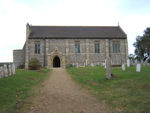
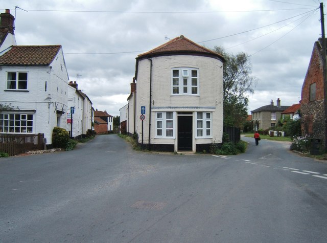
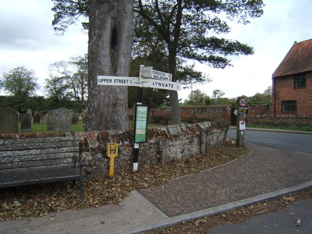
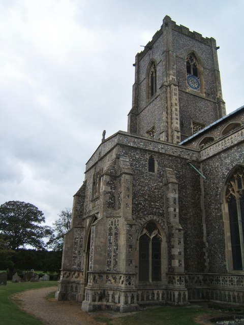
Carman's Lane Belt Images
Images are sourced within 2km of 52.773539/1.4306201 or Grid Reference TG3125. Thanks to Geograph Open Source API. All images are credited.


Carman's Lane Belt is located at Grid Ref: TG3125 (Lat: 52.773539, Lng: 1.4306201)
Administrative County: Norfolk
District: North Norfolk
Police Authority: Norfolk
What 3 Words
///staked.audio.simulates. Near Stalham, Norfolk
Nearby Locations
Related Wikis

Smallburgh Fen
Smallburgh Fen is a 7.6-hectare (19-acre) biological Site of Special Scientific Interest in Smallburgh in Norfolk, United Kingdom It is part of the Broadland...

Worstead
Worstead is a village and civil parish in the English county of Norfolk. It lies 3 miles (5 km) south of North Walsham, 5 miles (8 km) north of Wroxham...

Anchor Street
Anchor Street is a village in Norfolk, England.

Dilham
Dilham is a village and civil parish in the English county of Norfolk. The village is located 4.3 miles south-east of North Walsham and 12 miles north...
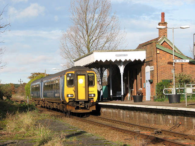
Worstead railway station
Worstead railway station is on the Bittern Line in Norfolk, England, serving the villages of Worstead and Sloley. It is 13 miles 12 chains (21.2 km) down...

Smallburgh
Smallburgh is a village and a civil parish in the English county of Norfolk. The village is fourteen miles (21 km) south-east of Cromer, fourteen miles...

Dilham Castle
Dilham Castle, also called Dilham Hall, is situated in the village of Dilham, near Stalham in Norfolk, England. == Details == Dilham Castle was built in...

Sloley
Sloley is a village and a civil parish in the English county of Norfolk. The village is 11.9 miles (19.2 km) north-north-east of Norwich, 13.6 miles (21...
Nearby Amenities
Located within 500m of 52.773539,1.4306201Have you been to Carman's Lane Belt?
Leave your review of Carman's Lane Belt below (or comments, questions and feedback).