Arnie Wood
Wood, Forest in Suffolk East Suffolk
England
Arnie Wood
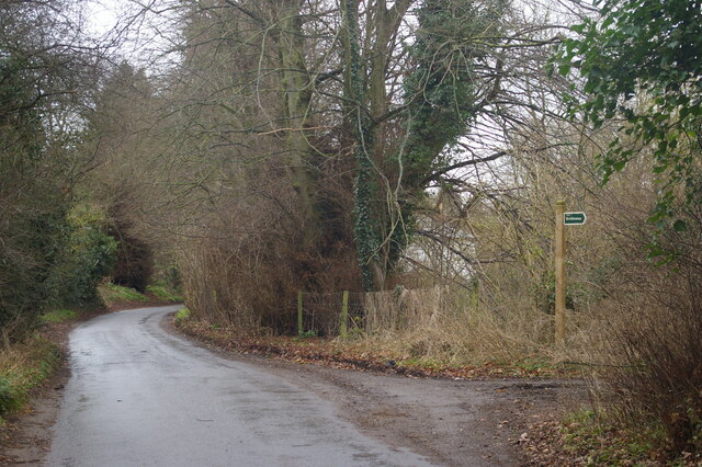
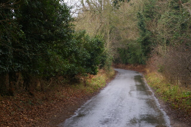
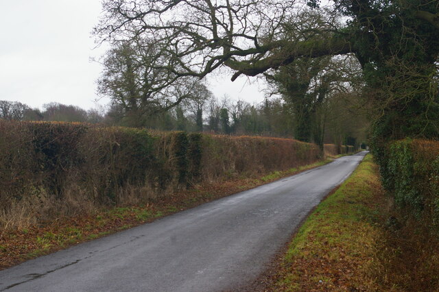
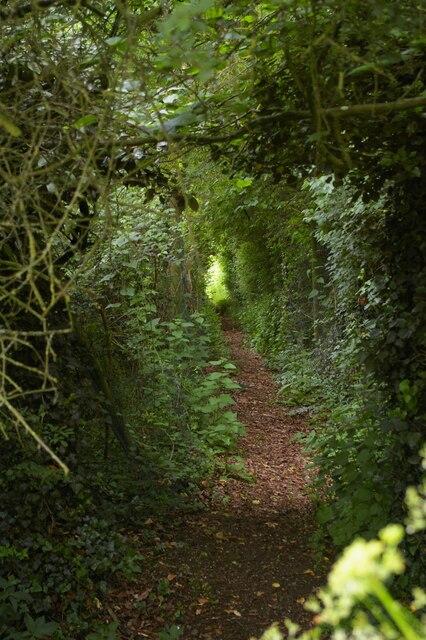
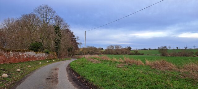
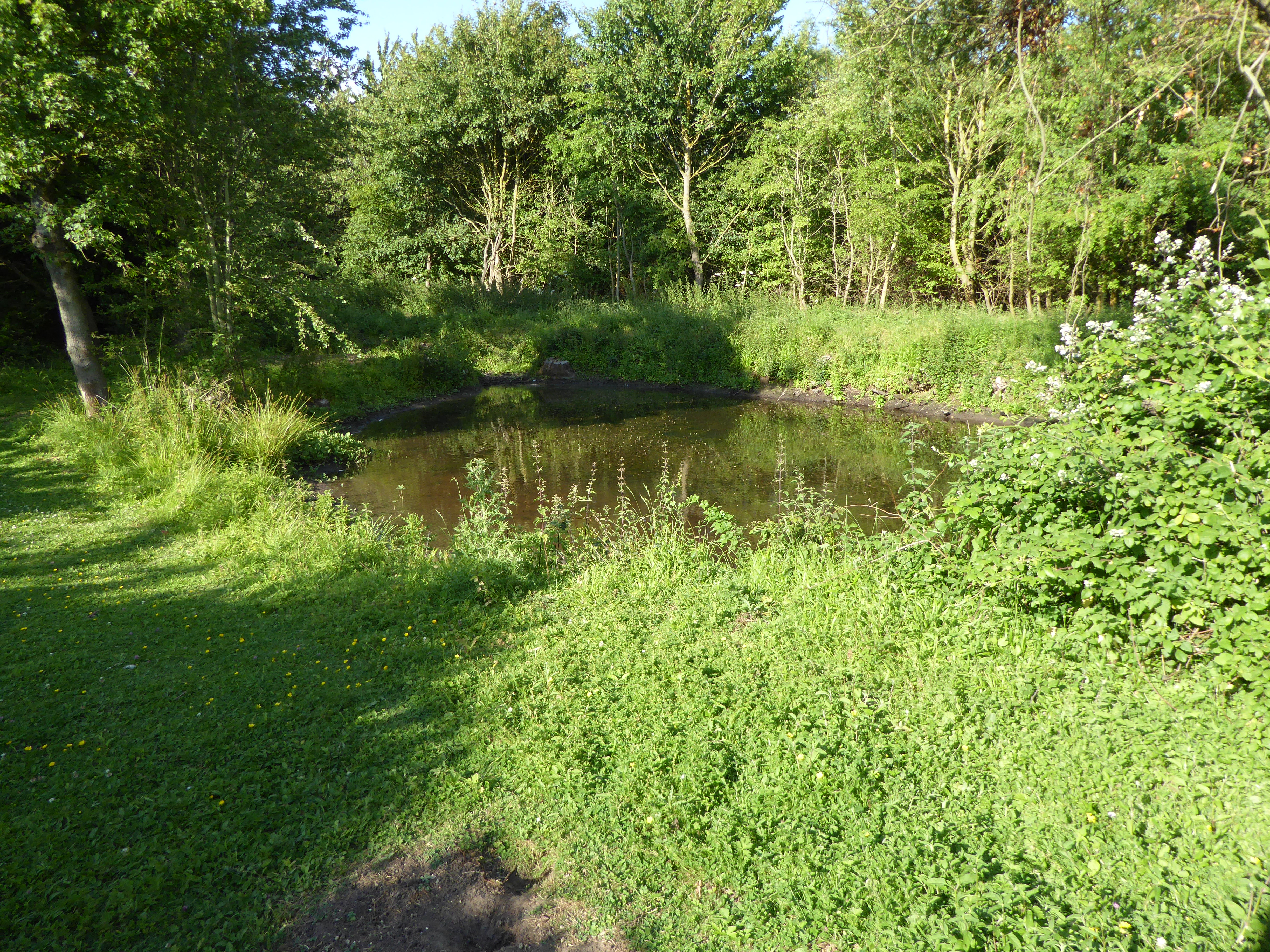
Arnie Wood, Suffolk, also known as Wood or Forest, is a picturesque area located in the county of Suffolk, England. Covering a vast expanse of land, this woodland region is renowned for its stunning natural beauty and serene atmosphere.
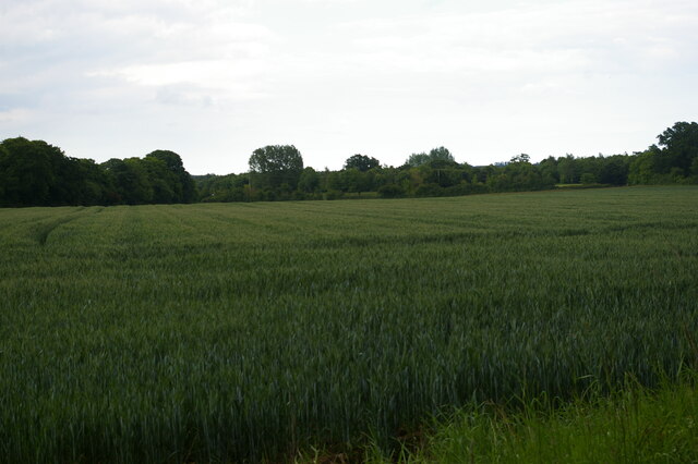
Arnie Wood is characterized by its dense and lush forest, filled with a diverse range of flora and fauna. The area is home to a variety of tree species, including oak, beech, and birch, which create a majestic canopy overhead. The forest floor is adorned with a carpet of wildflowers and ferns, adding to the enchanting ambiance.
The woodland provides a habitat for numerous wildlife species, making it a haven for nature enthusiasts and wildlife photographers. Visitors may catch a glimpse of deer, foxes, badgers, and a wide array of bird species, including woodpeckers and owls.
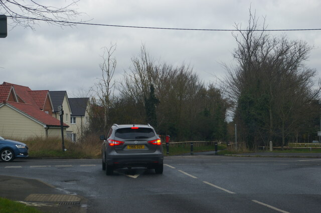
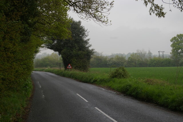
The Wood is also a popular destination for outdoor activities and recreation. Miles of walking trails and cycling paths wind through the forest, offering visitors the opportunity to explore the area's natural wonders. Additionally, the Wood is equipped with picnic areas, making it an ideal spot for families to enjoy a day out in nature.
Arnie Wood is not only a natural haven but also holds historical significance. It is believed that the woodland has been in existence for centuries, with traces of human activity dating back to ancient times. The area's rich history adds another layer of fascination for those who visit.
In conclusion, Arnie Wood, Suffolk, is a captivating woodland area that offers visitors a chance to immerse themselves in nature's beauty. With its stunning scenery, abundant wildlife, and historical significance, it is a must-visit destination for anyone seeking tranquility and a connection with the natural world.
If you have any feedback on the listing, please let us know in the comments section below.
Arnie Wood Images
Images are sourced within 2km of 52.122064/1.3230579 or Grid Reference TM2752. Thanks to Geograph Open Source API. All images are credited.
Arnie Wood is located at Grid Ref: TM2752 (Lat: 52.122064, Lng: 1.3230579)
Administrative County: Suffolk
District: East Suffolk
Police Authority: Suffolk
What 3 Words
///shameless.scar.trifle. Near Woodbridge, Suffolk
Nearby Locations
Related Wikis
Foxburrow Farm
Foxburrow Farm is a 67 hectare nature reserve north of Melton in Suffolk. It is managed by the Suffolk Wildlife Trust.Part of this site is a working farm...
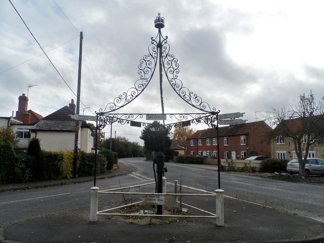
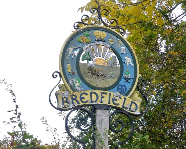
Bredfield
Bredfield is a small village and civil parish in the English county of Suffolk. It is situated just off the A12, two miles north of Woodbridge. Another...

St Audry's Hospital
St Audry's Hospital was a psychiatric hospital in Melton, Suffolk, England. == History == The facility has its origins in a house of industry which was...
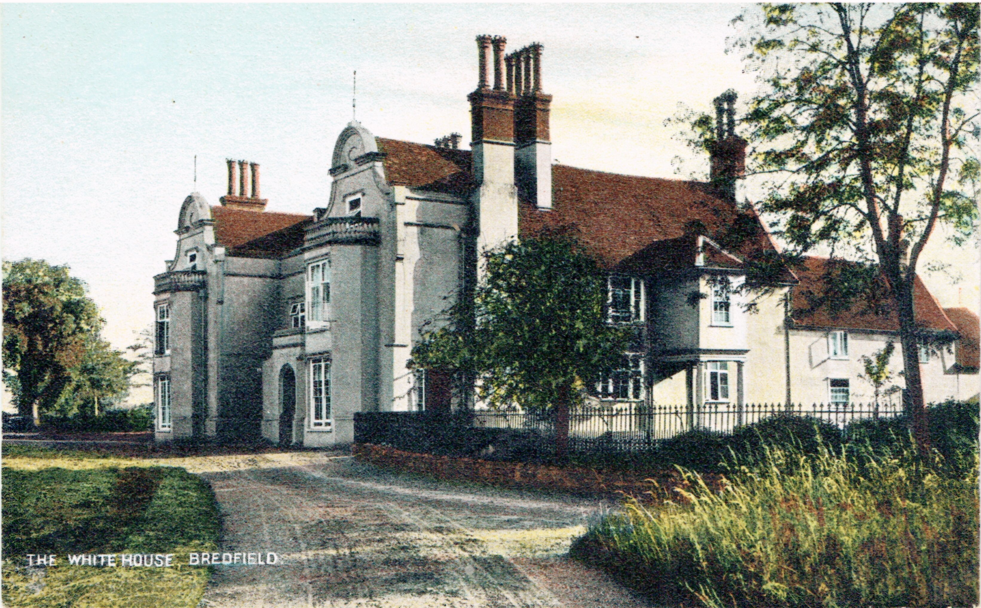
Bredfield House
Bredfield House (or White House as it was also known) was a now-demolished country house situated in the village of Bredfield, around 2 miles north of...

Melton, Suffolk
Melton is a village in Suffolk, England, located approximately one mile northeast of Woodbridge. The 2001 census recorded a population of 3,718, the population...

Ufford, Suffolk
Ufford is a village and civil parish in Suffolk, England. Its population of 808 at the 2001 census rose to 948 at the 2011 Census and was estimated at...

Manor of Byng
The Manor of Byng is a former manorial estate located in the county of Suffolk, UK. The manor house is the 16th-century Byng Hall. The manor is located...

Boulge
Boulge is a hamlet and civil parish in the East Suffolk district of Suffolk, England. It is about 3 miles (5 km) north of Woodbridge. The population remained...
Related Videos

Cheeky Mid-Week Adventure. 02/10/19
So as we had an afternoon off, we decided to take Adventure Dog for a different walk. 6.5km from Melton, through Bromeswell, ...
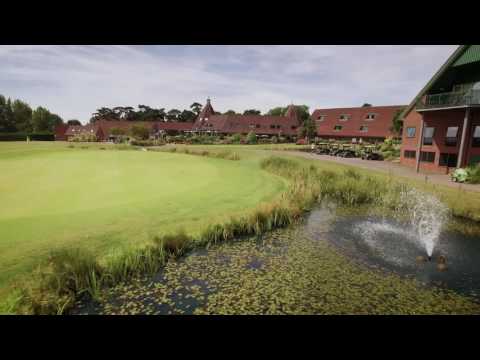
Gateway to Suffolk's Heritage Coast: Ufford Park Woodbridge.
Relax in style in Suffolk's most beautiful, peaceful countryside. Set in 120 acres of historic parkland, just ten miles from Ipswich, ...


Assumption of the Blessed Virgin Mary, Ufford and its amazing 5 and a half meter high font cover.
The glory of Ufford is most definitely I it's font cover which is second tallest to Southwold. the tower began in the 14th century and ...
Nearby Amenities
Located within 500m of 52.122064,1.3230579Have you been to Arnie Wood?
Leave your review of Arnie Wood below (or comments, questions and feedback).