Crag Pit Wood
Wood, Forest in Suffolk East Suffolk
England
Crag Pit Wood
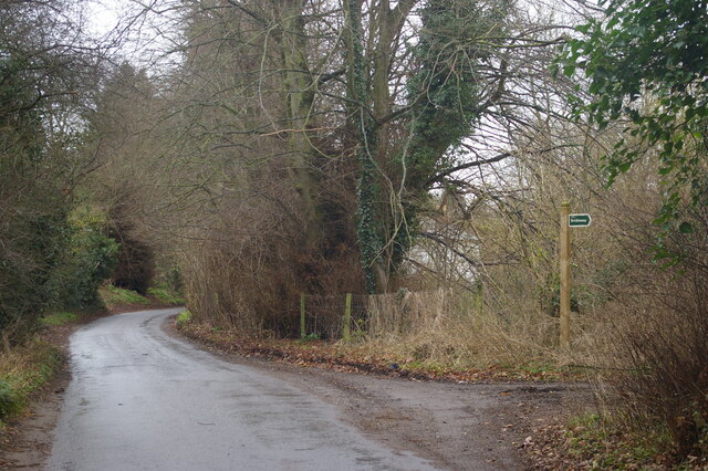
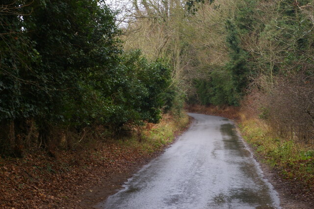
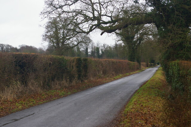
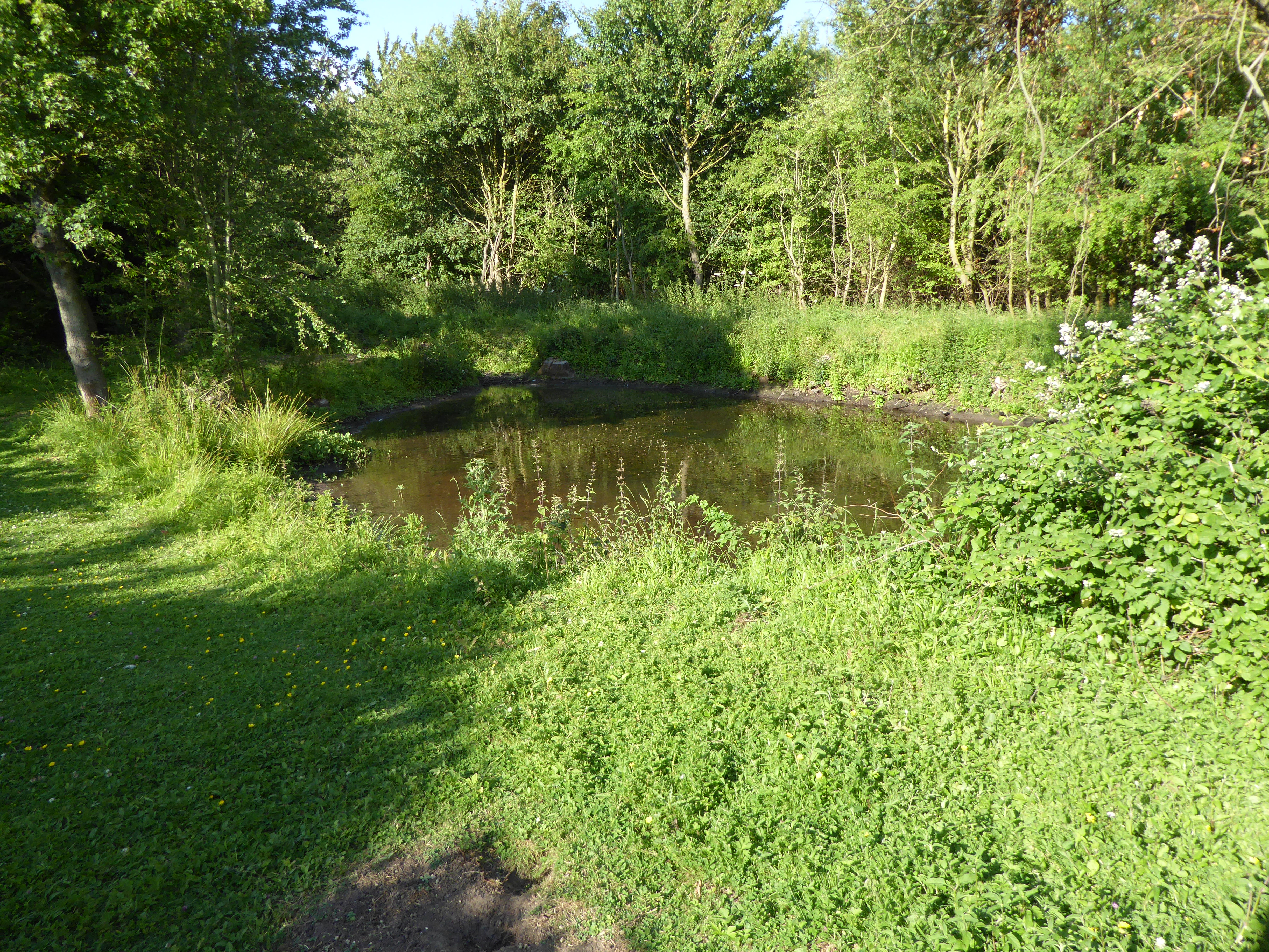
Crag Pit Wood is a picturesque woodland located in Suffolk, England. Covering an area of approximately 30 acres, it is nestled in the heart of the Suffolk countryside, near the village of Hollesley. The wood is part of the larger Hollesley Common Nature Reserve, which is managed by the Suffolk Wildlife Trust.
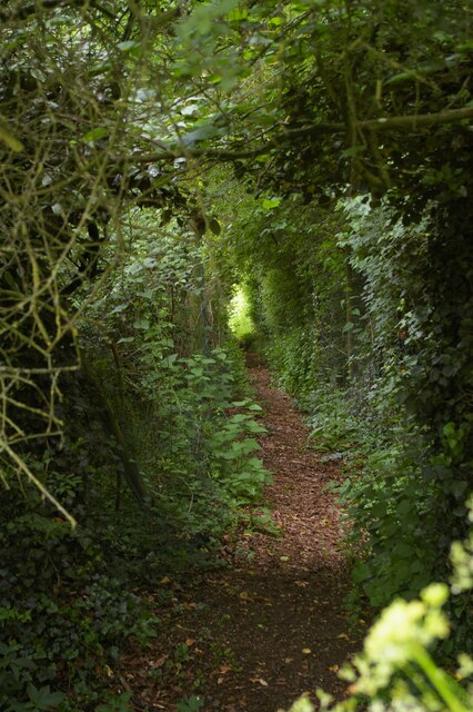
Crag Pit Wood is characterized by its diverse range of tree species, including oak, ash, birch, and sweet chestnut, among others. These trees create a dense canopy, providing a habitat for a variety of wildlife. Visitors to the wood may be lucky enough to spot some of the resident bird species, such as woodpeckers, nightingales, and tawny owls.
The woodland floor of Crag Pit Wood is carpeted with an array of wildflowers, including bluebells, primroses, and foxgloves, which bloom in vibrant colors during the spring and summer months. This creates a stunning display and attracts numerous butterflies and bees.
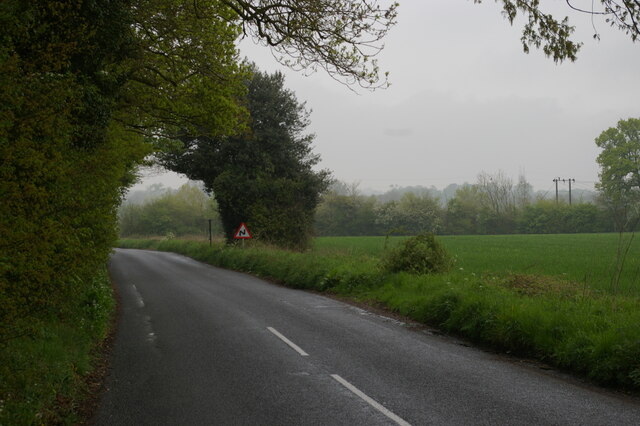
The wood also features several well-maintained footpaths, allowing visitors to explore its beauty and tranquility. These paths wind through the trees, providing opportunities for peaceful walks and birdwatching. Additionally, there are picnic areas and benches scattered throughout the wood, providing visitors with a chance to relax and enjoy the natural surroundings.
Crag Pit Wood is a popular destination for both locals and tourists alike, offering a peaceful retreat and a chance to connect with nature. Its rich biodiversity and stunning scenery make it a must-visit location for nature enthusiasts and outdoor lovers in Suffolk.
If you have any feedback on the listing, please let us know in the comments section below.
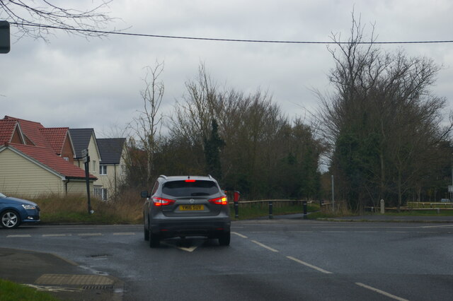
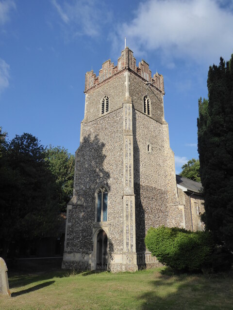
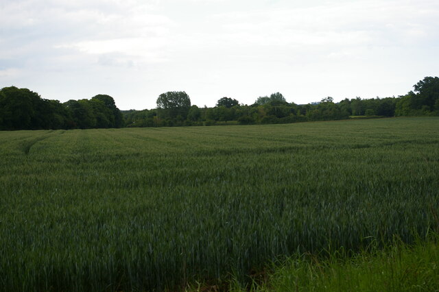
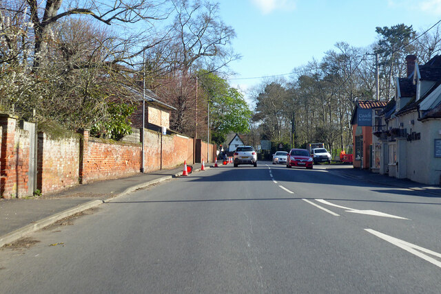
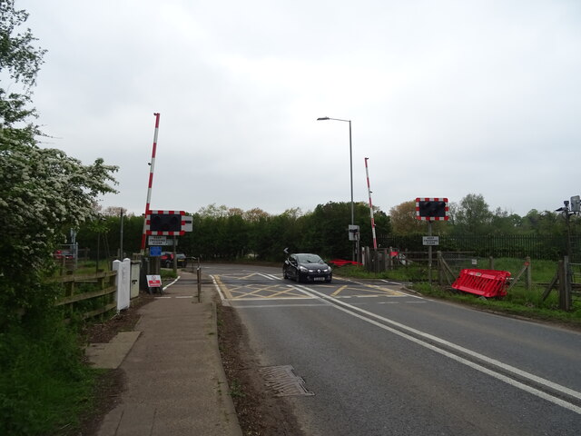
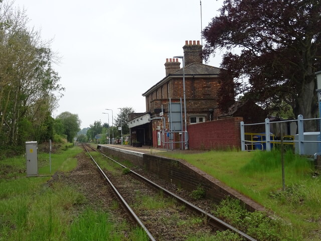
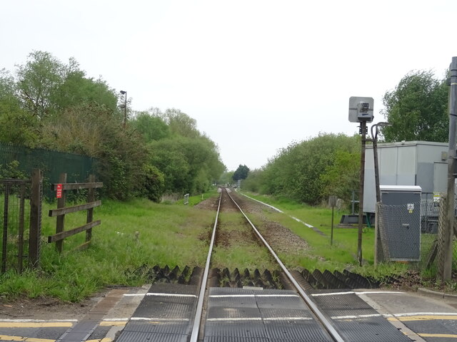
Crag Pit Wood Images
Images are sourced within 2km of 52.119249/1.3230529 or Grid Reference TM2751. Thanks to Geograph Open Source API. All images are credited.


Crag Pit Wood is located at Grid Ref: TM2751 (Lat: 52.119249, Lng: 1.3230529)
Administrative County: Suffolk
District: East Suffolk
Police Authority: Suffolk
What 3 Words
///envelope.deciding.reconnect. Near Woodbridge, Suffolk
Nearby Locations
Related Wikis
Foxburrow Farm
Foxburrow Farm is a 67 hectare nature reserve north of Melton in Suffolk. It is managed by the Suffolk Wildlife Trust.Part of this site is a working farm...

St Audry's Hospital
St Audry's Hospital was a psychiatric hospital in Melton, Suffolk, England. == History == The facility has its origins in a house of industry which was...
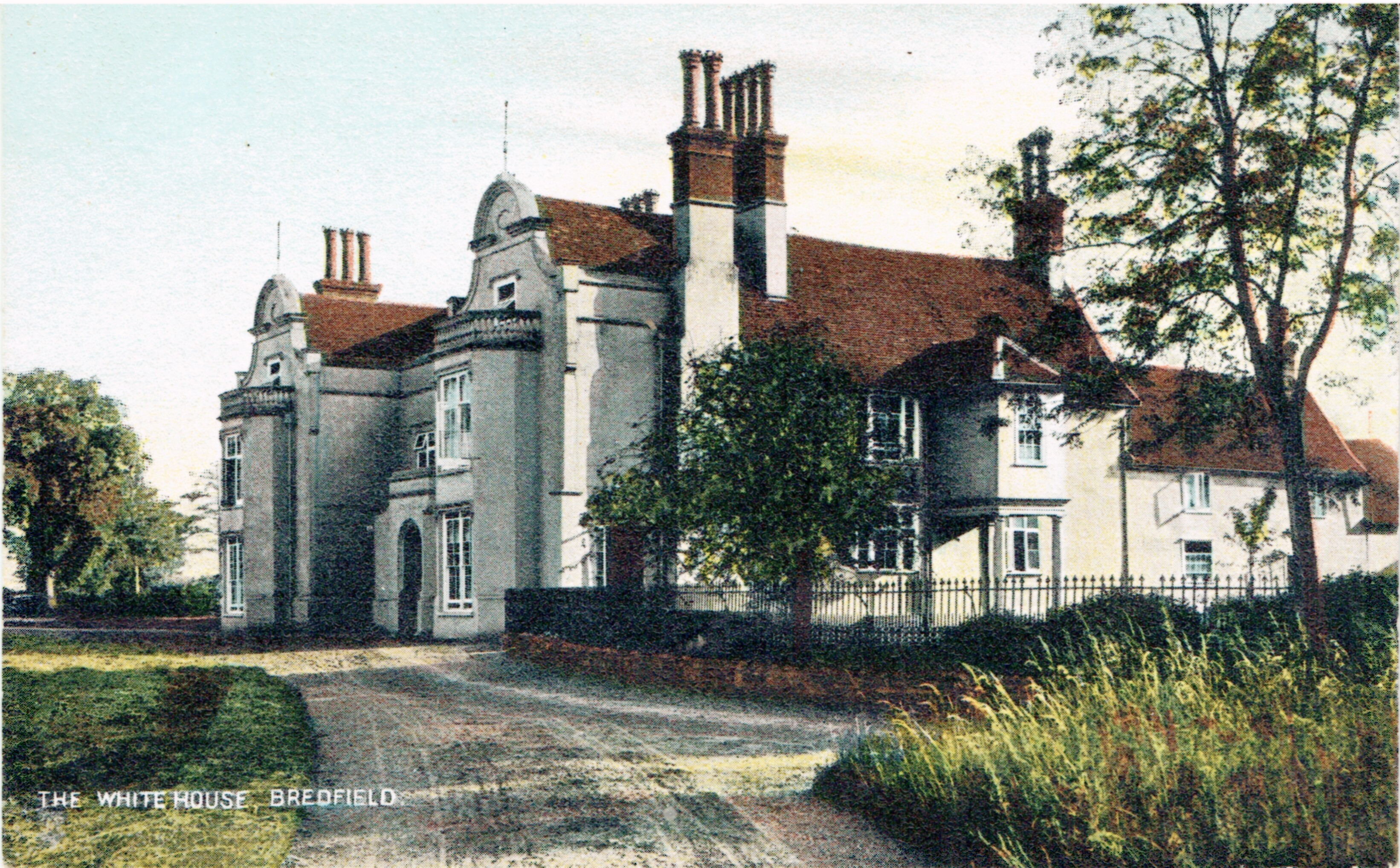
Bredfield House
Bredfield House (or White House as it was also known) was a now-demolished country house situated in the village of Bredfield, around 2 miles north of...
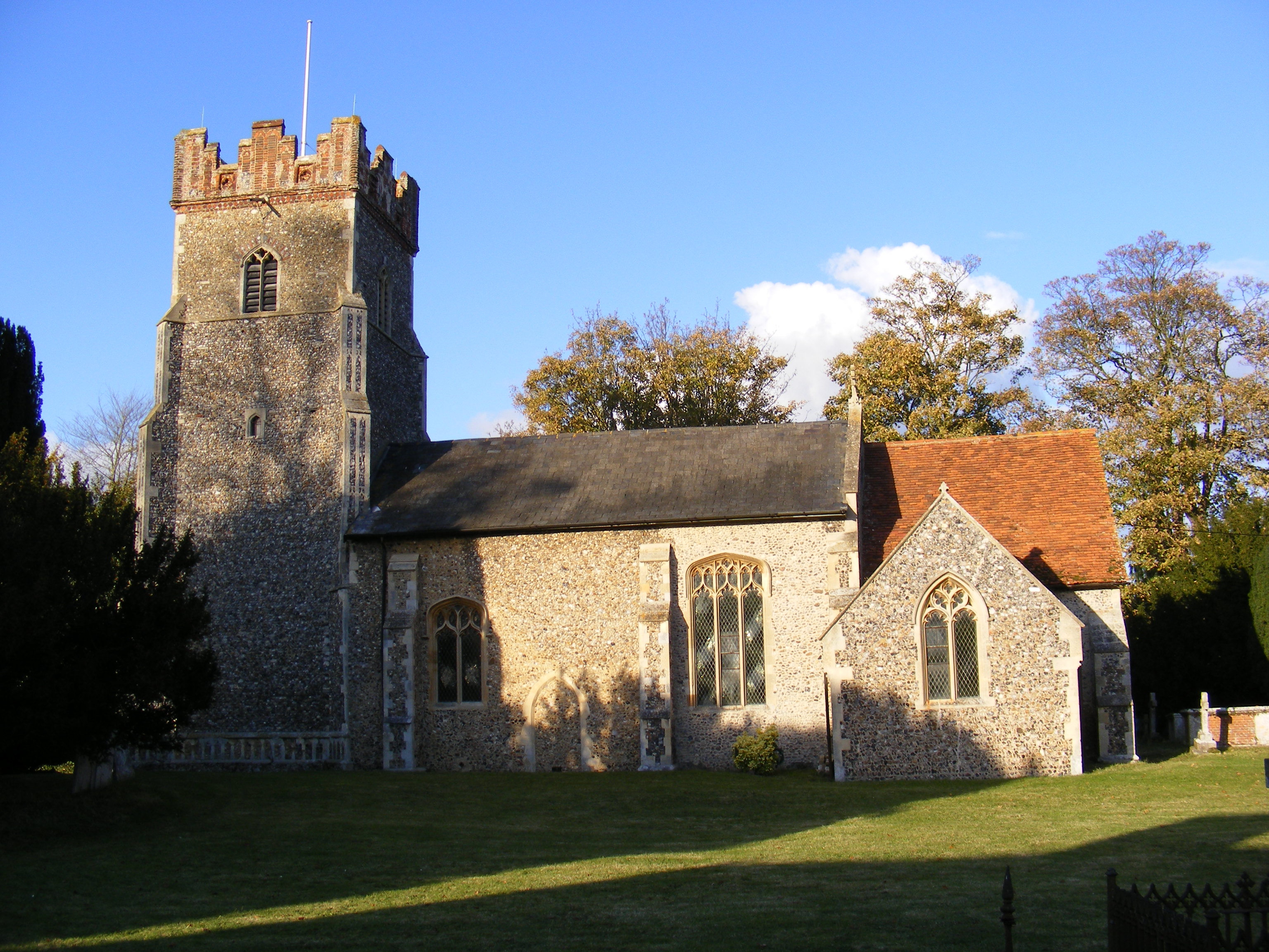
Bredfield
Bredfield is a small village and civil parish in the English county of Suffolk. It is situated just off the A12, two miles north of Woodbridge. Another...
Nearby Amenities
Located within 500m of 52.119249,1.3230529Have you been to Crag Pit Wood?
Leave your review of Crag Pit Wood below (or comments, questions and feedback).