Horse Close Wood
Wood, Forest in Suffolk East Suffolk
England
Horse Close Wood
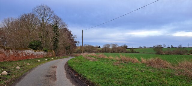
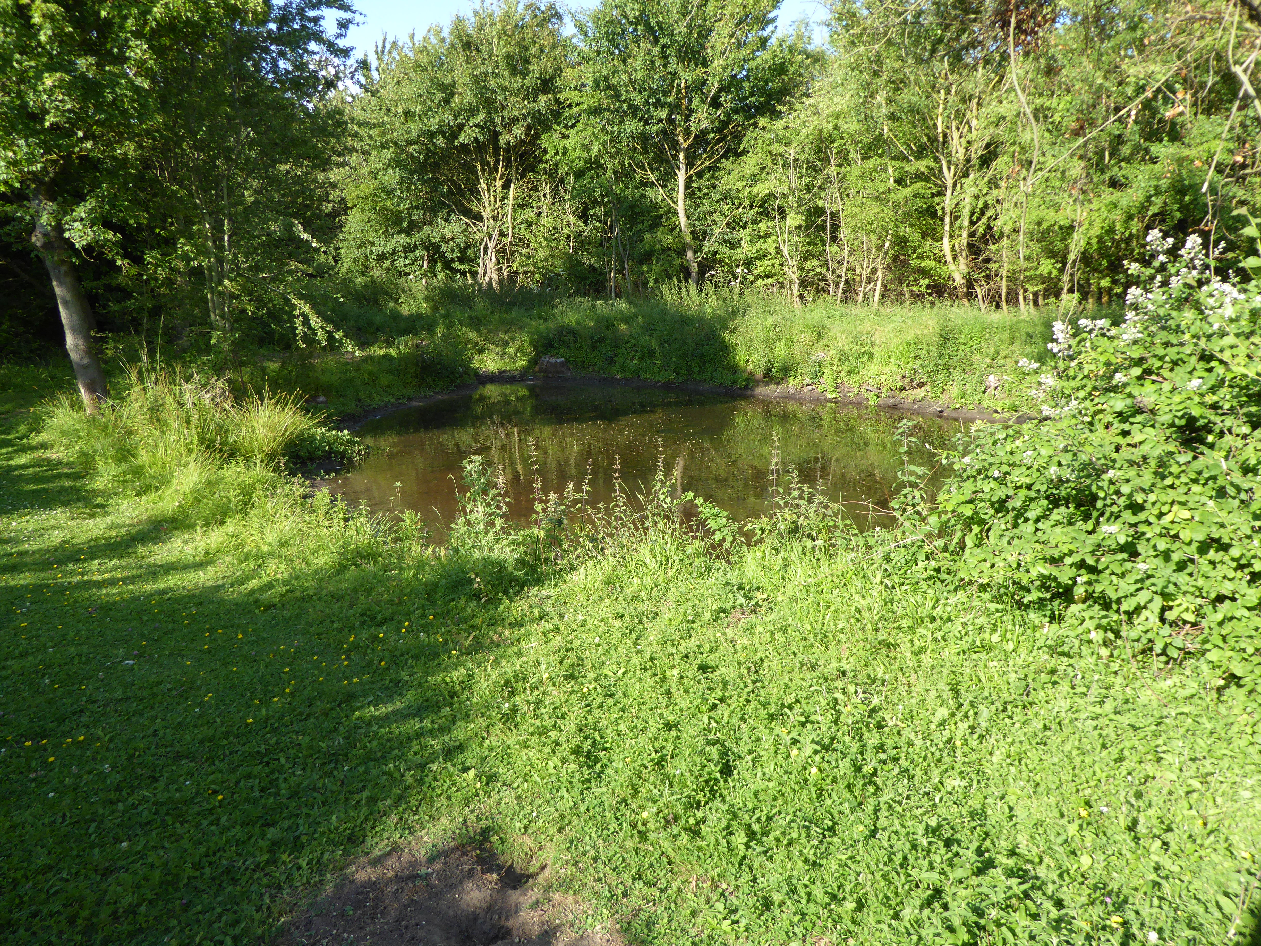
Horse Close Wood is a picturesque woodland located in the county of Suffolk, England. Covering an area of approximately 40 acres, it is a popular destination for nature lovers and outdoor enthusiasts. The wood is situated near the village of Sudbourne and is easily accessible by foot, bike, or car.
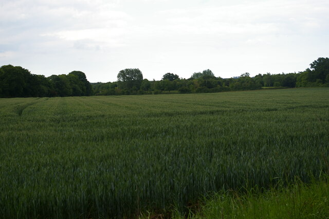
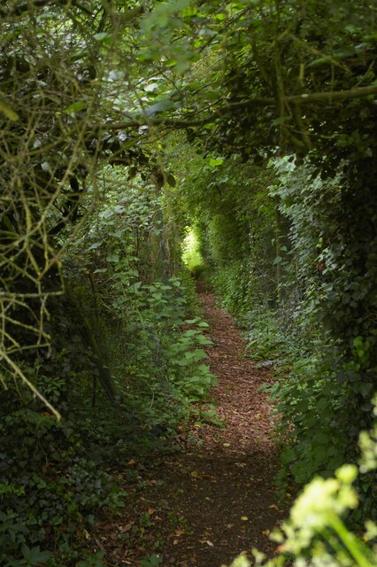
The wood is predominantly composed of deciduous trees, including oak, ash, and beech, which create a vibrant and diverse ecosystem. The dense foliage provides a habitat for numerous species of birds, mammals, and insects, making it a haven for wildlife enthusiasts and birdwatchers.
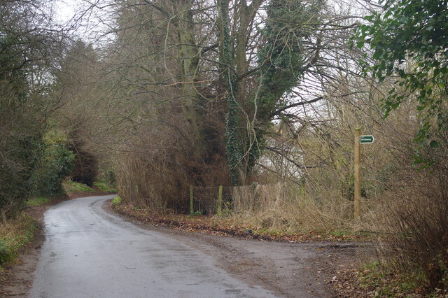
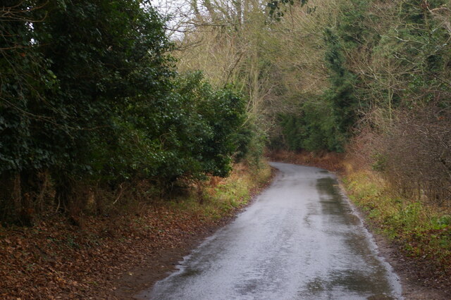
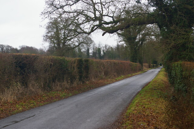
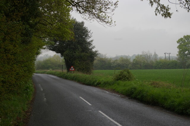
Visitors to Horse Close Wood can enjoy a network of well-maintained footpaths and trails that wind through the ancient woodland. These pathways allow for easy exploration and provide opportunities to admire the natural beauty of the area. The wood also features a small stream that meanders through its heart, adding to its scenic charm.
Horse Close Wood is a great place for a leisurely walk, picnic, or even a family day out. The tranquil atmosphere and peaceful surroundings make it an ideal spot for relaxation and connecting with nature. It is also a popular location for photography, with its stunning vistas and changing seasons offering endless opportunities for capturing beautiful images.
Managed by the local authorities, Horse Close Wood is well-preserved and cared for, ensuring its longevity for future generations to enjoy. It is a true gem of Suffolk's natural landscape and a must-visit destination for anyone seeking a peaceful retreat in the heart of nature.
If you have any feedback on the listing, please let us know in the comments section below.
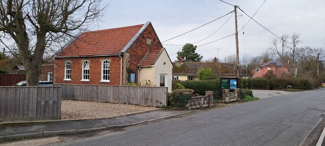
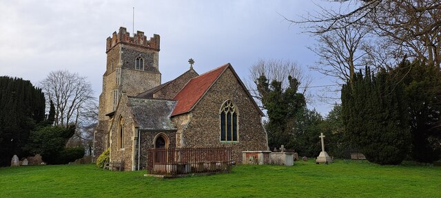
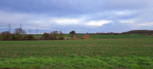
Horse Close Wood Images
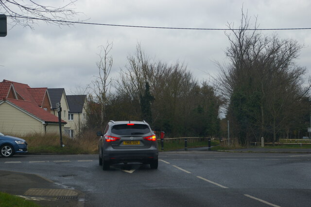
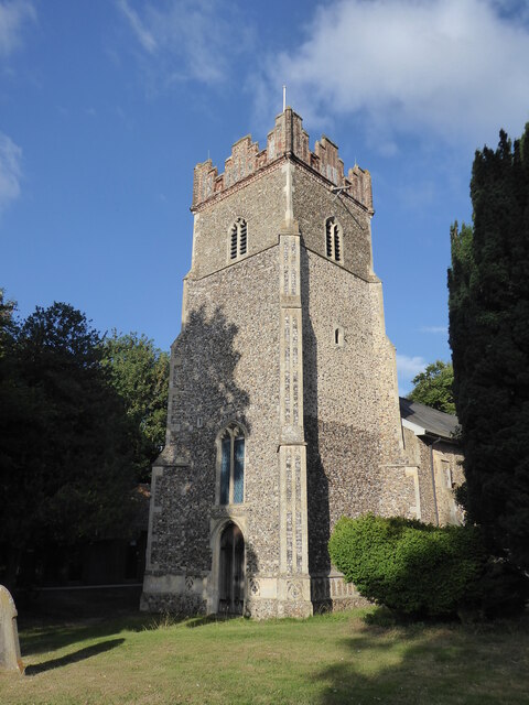
Images are sourced within 2km of 52.121904/1.3172159 or Grid Reference TM2752. Thanks to Geograph Open Source API. All images are credited.
Horse Close Wood is located at Grid Ref: TM2752 (Lat: 52.121904, Lng: 1.3172159)
Administrative County: Suffolk
District: East Suffolk
Police Authority: Suffolk
What 3 Words
///trinkets.hydration.poetry. Near Woodbridge, Suffolk
Nearby Locations
Related Wikis
Foxburrow Farm
Foxburrow Farm is a 67 hectare nature reserve north of Melton in Suffolk. It is managed by the Suffolk Wildlife Trust.Part of this site is a working farm...
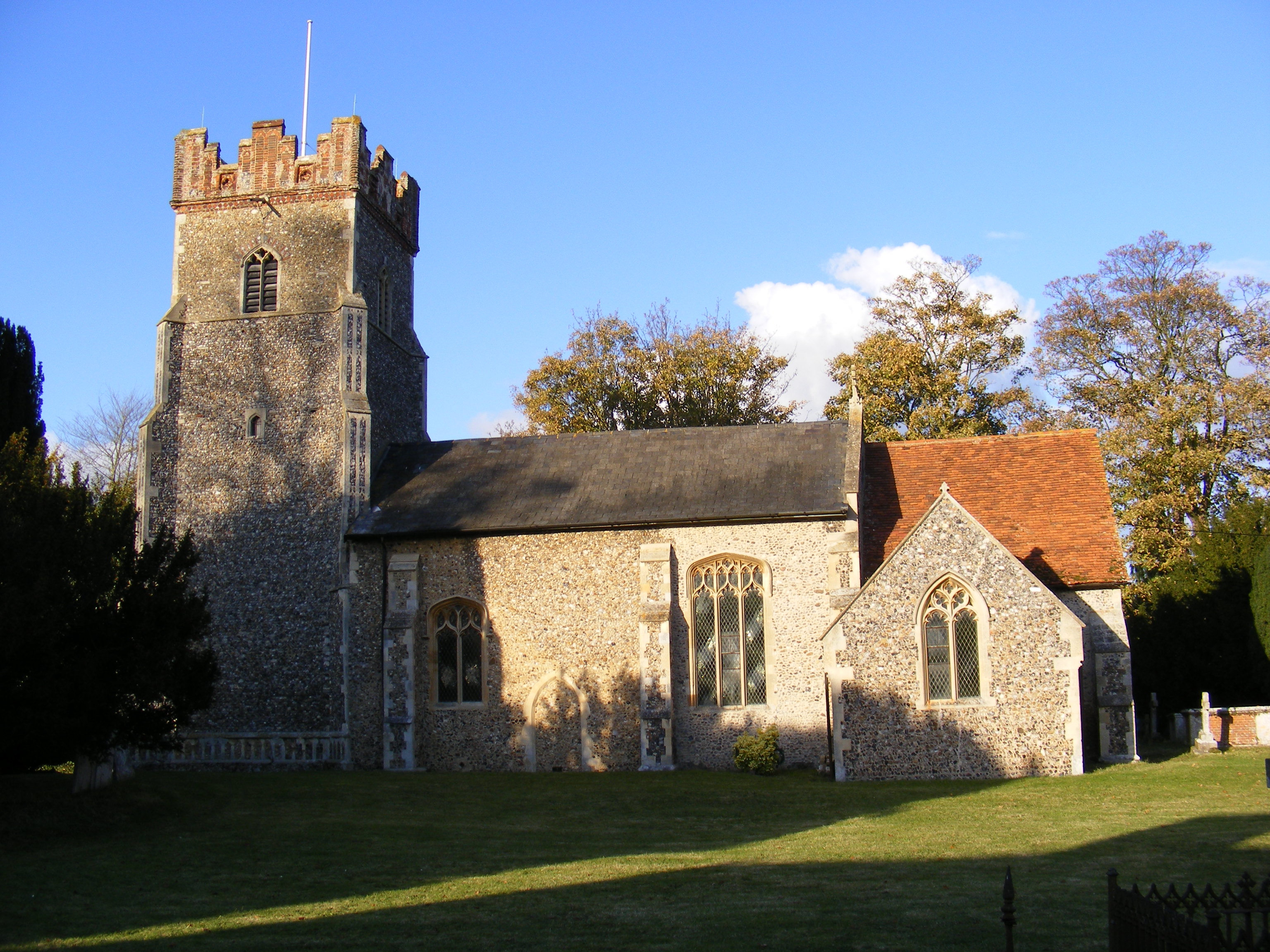
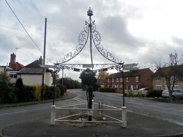
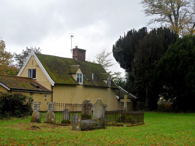
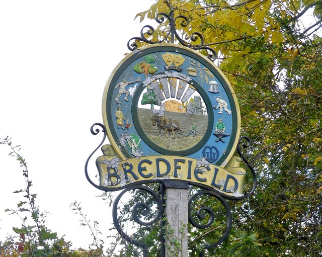
Bredfield
Bredfield is a small village and civil parish in the English county of Suffolk. It is situated just off the A12, two miles north of Woodbridge. Another...
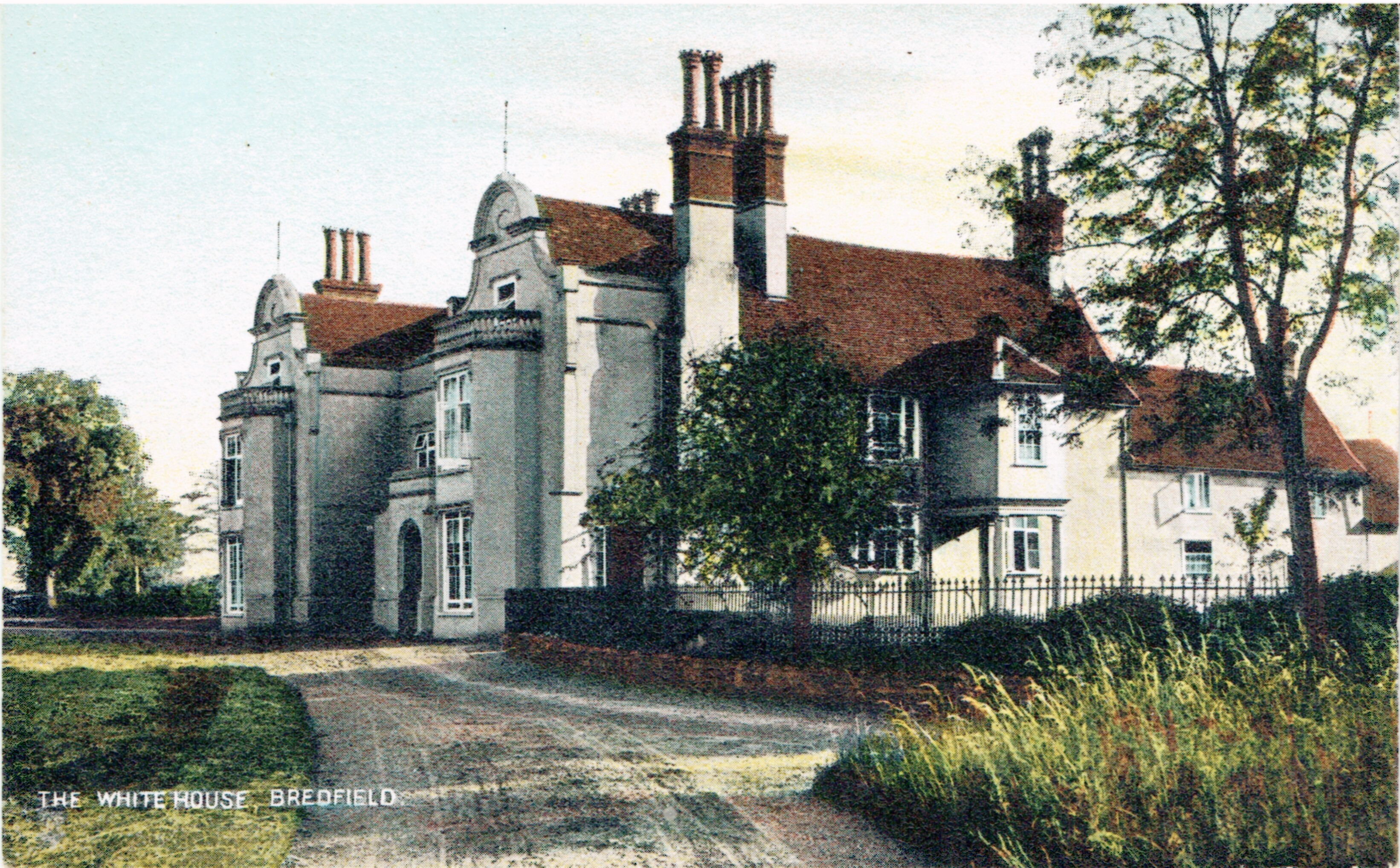
Bredfield House
Bredfield House (or White House as it was also known) was a now-demolished country house situated in the village of Bredfield, around 2 miles north of...

St Audry's Hospital
St Audry's Hospital was a psychiatric hospital in Melton, Suffolk, England. == History == The facility has its origins in a house of industry which was...
Nearby Amenities
Located within 500m of 52.121904,1.3172159Have you been to Horse Close Wood?
Leave your review of Horse Close Wood below (or comments, questions and feedback).