Dobb's Plantation
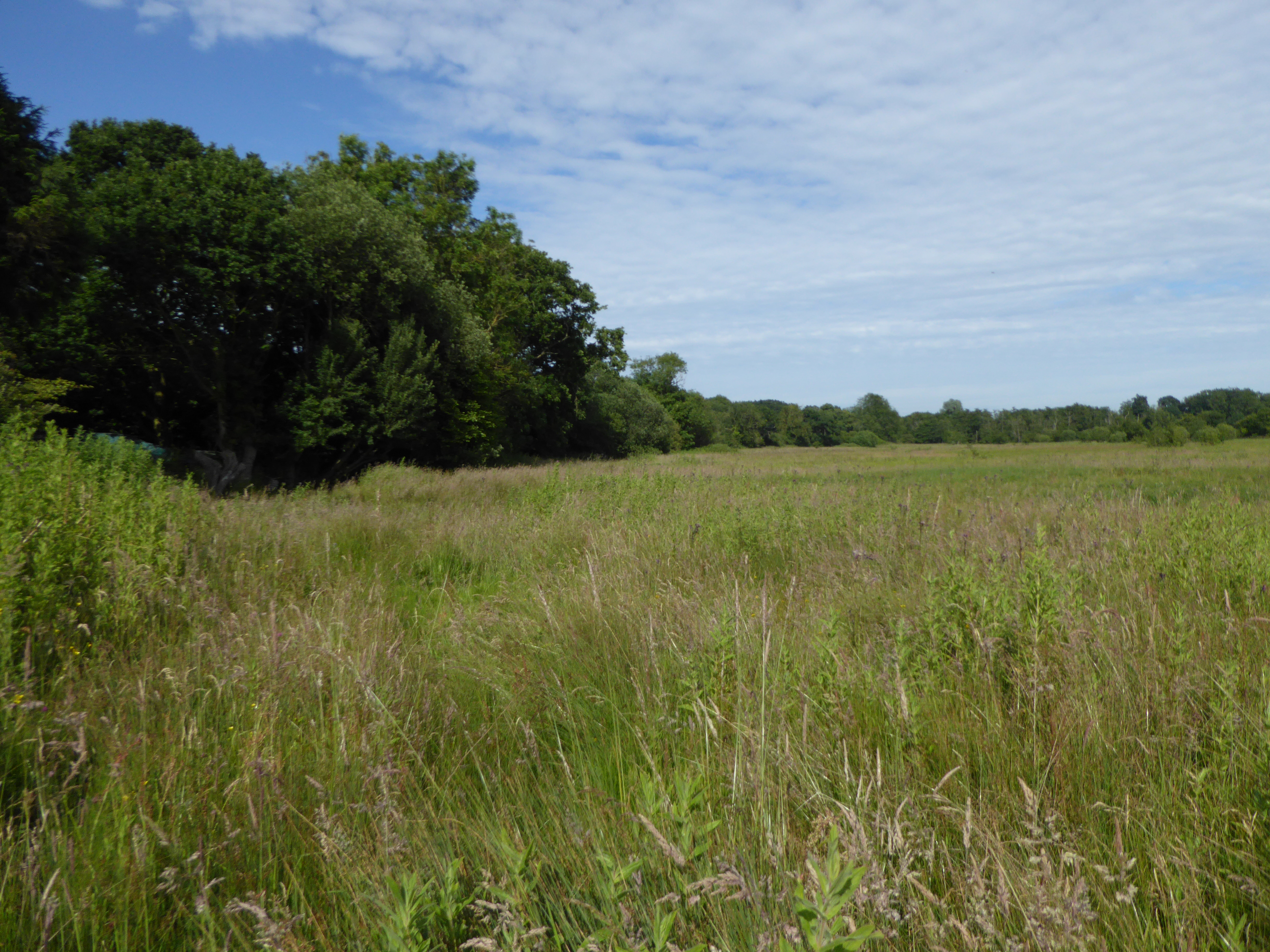
Wood, Forest in Norfolk Broadland
England
Dobb's Plantation

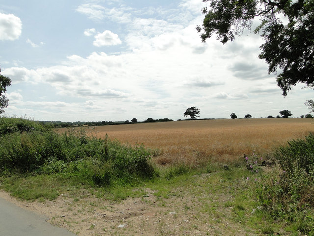
Dobb's Plantation, located in Norfolk County, Virginia, is a sprawling woodland area known for its rich natural beauty and historical significance. Spanning over 500 acres, the plantation is primarily characterized by dense forests and a diverse range of flora and fauna. The area is situated near the city of Norfolk, making it easily accessible to visitors.
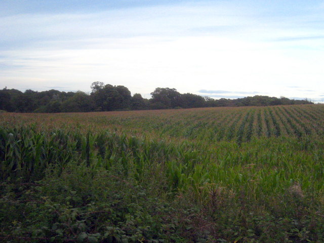
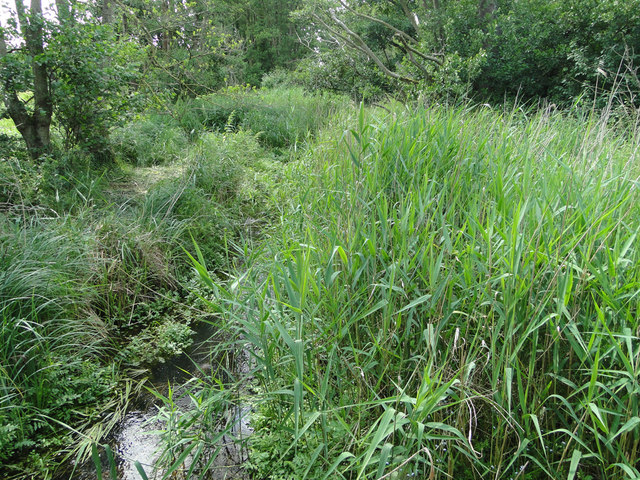
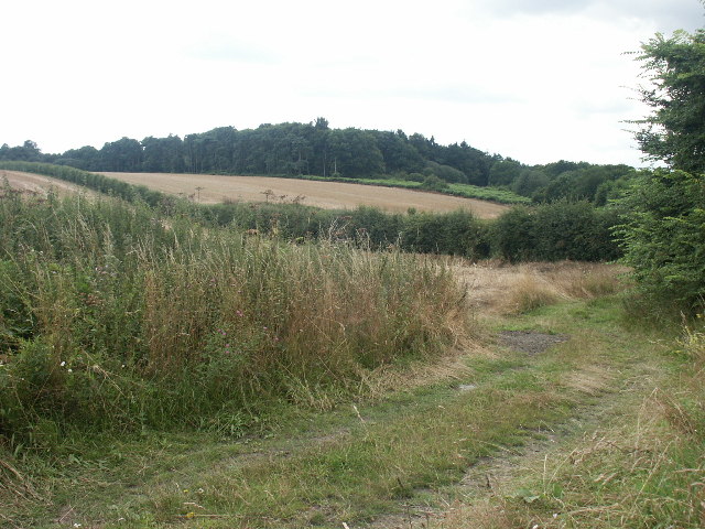
The forested landscape of Dobb's Plantation is composed of various tree species, including oak, hickory, pine, and maple, among others. The lush vegetation provides a habitat for numerous wildlife species such as deer, squirrels, rabbits, and a variety of birds. Nature enthusiasts and birdwatchers often flock to this area to observe and appreciate the diverse ecosystem.
In addition to its natural appeal, Dobb's Plantation holds historical significance. The plantation dates back to the 18th century when it was first established as a working farm. It played a role in the region's agricultural development, particularly in the cultivation of tobacco, corn, and cotton.
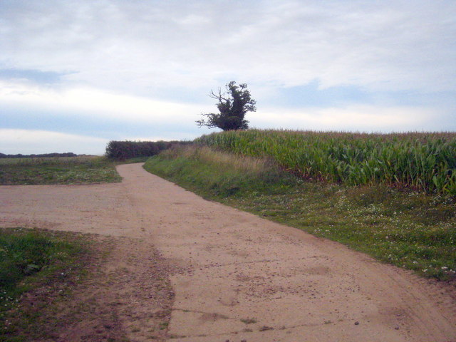
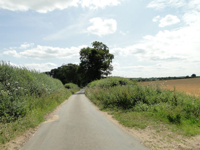
Today, Dobb's Plantation serves as a protected area, managed by the Norfolk County Parks and Recreation Department. It offers a range of recreational activities for visitors to enjoy, including hiking trails, picnic areas, and educational programs. The well-maintained trails provide an opportunity for nature walks and exploration, allowing visitors to immerse themselves in the serenity of the woodland surroundings.
Dobb's Plantation in Norfolk County is a cherished natural and historical gem, offering a serene escape for nature lovers and history enthusiasts alike.
If you have any feedback on the listing, please let us know in the comments section below.
Dobb's Plantation Images
Images are sourced within 2km of 52.69218/1.3603459 or Grid Reference TG2715. Thanks to Geograph Open Source API. All images are credited.


Dobb's Plantation is located at Grid Ref: TG2715 (Lat: 52.69218, Lng: 1.3603459)
Administrative County: Norfolk
District: Broadland
Police Authority: Norfolk
What 3 Words
///rental.hoops.unsecured. Near Spixworth, Norfolk
Nearby Locations
Related Wikis
Crostwick Marsh
Crostwick Marsh is an 11.6-hectare (29-acre) biological Site of Special Scientific Interest in Crostwick, north of Norwich in Norfolk. It is part of the...

Crostwick
Crostwick is a village in the English county of Norfolk. The village is part of the civil parish of Horstead with Stanninghall. Crostwick is located 2...

River Hor
The River Hor is a short river in the county of Norfolk, England. It runs 13.3 kilometres (8.3 mi) east from its source near Felthorpe to its confluence...

Norwich Northern Distributor Road
The Norwich Northern Distributor Road, now officially named the Broadland Northway (but also known as the NDR) is a 12.4 mi (20.0 km) dual-carriageway...
Rackheath
Rackheath is a village and civil parish in the English county of Norfolk, and is roughly 6 miles (9.7 km) north-east of Norwich city centre. It covers...

Beeston St Andrew
Beeston St Andrew is a civil parish north of Norwich in the Broadland district of Norfolk, England. It contains Beeston Park and according to the 2001...

Spixworth
Spixworth is a village and civil parish in the English county of Norfolk. The village lies close to the B1150 road and is 5 miles (8.0 km) north of Norwich...
Rackheath Eco-town
The Rackheath Eco-town is a proposal for just over 5,000 houses to be built in the Rackheath area, in Norfolk, within a mile of The Broads National Park...
Have you been to Dobb's Plantation?
Leave your review of Dobb's Plantation below (or comments, questions and feedback).