Limekiln Plantation
Wood, Forest in Kent Dover
England
Limekiln Plantation
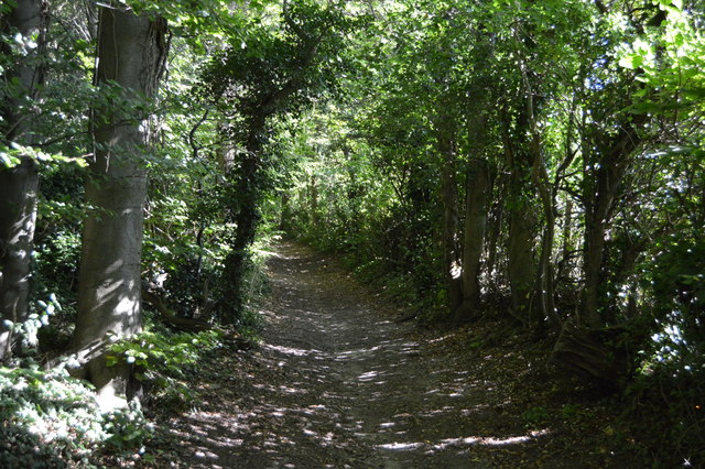
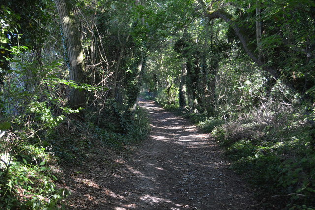
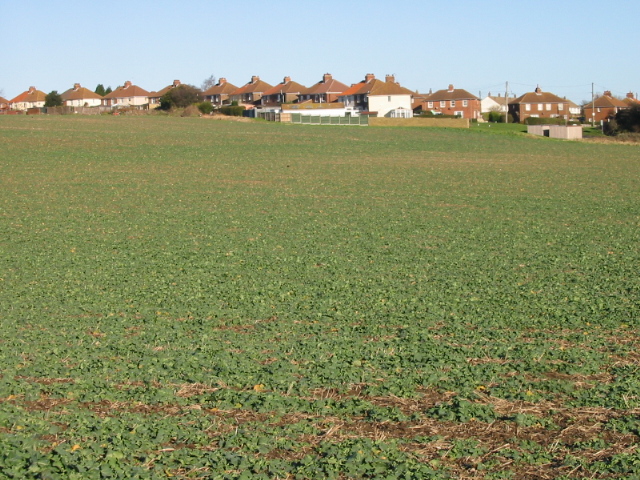
Limekiln Plantation is a beautiful woodland located in Kent, England. It is a part of the larger Bedgebury Forest, which covers an area of approximately 2,500 acres. The plantation itself spans over 200 acres and is renowned for its diverse range of tree species and stunning natural beauty.
One of the main attractions of Limekiln Plantation is its extensive network of walking and cycling trails, which allows visitors to explore the woodland at their own pace. These trails are well-maintained and offer a variety of difficulty levels, catering to both novice and experienced outdoor enthusiasts. Along the way, visitors can admire the lush greenery, towering trees, and vibrant wildflowers that make up the plantation's landscape.
The plantation is also home to a number of rare and endangered species, making it a haven for wildlife enthusiasts and nature lovers. It provides habitats for a wide range of bird species, including woodpeckers, nightingales, and owls. Small mammals, such as badgers, foxes, and deer, can also be spotted within the woodland.
Limekiln Plantation is a popular destination for both locals and tourists alike, offering a peaceful and serene escape from the hustle and bustle of everyday life. It is an ideal location for picnics, family outings, or simply to reconnect with nature. The plantation provides ample parking facilities, picnic areas, and toilet facilities for the convenience of its visitors.
Overall, Limekiln Plantation is a true gem in the heart of Kent, offering a tranquil and picturesque setting for outdoor activities and wildlife observation.
If you have any feedback on the listing, please let us know in the comments section below.
Limekiln Plantation Images
Images are sourced within 2km of 51.209196/1.2360346 or Grid Reference TR2650. Thanks to Geograph Open Source API. All images are credited.


Limekiln Plantation is located at Grid Ref: TR2650 (Lat: 51.209196, Lng: 1.2360346)
Administrative County: Kent
District: Dover
Police Authority: Kent
What 3 Words
///modifies.sing.walkway. Near Eythorne, Kent
Nearby Locations
Related Wikis

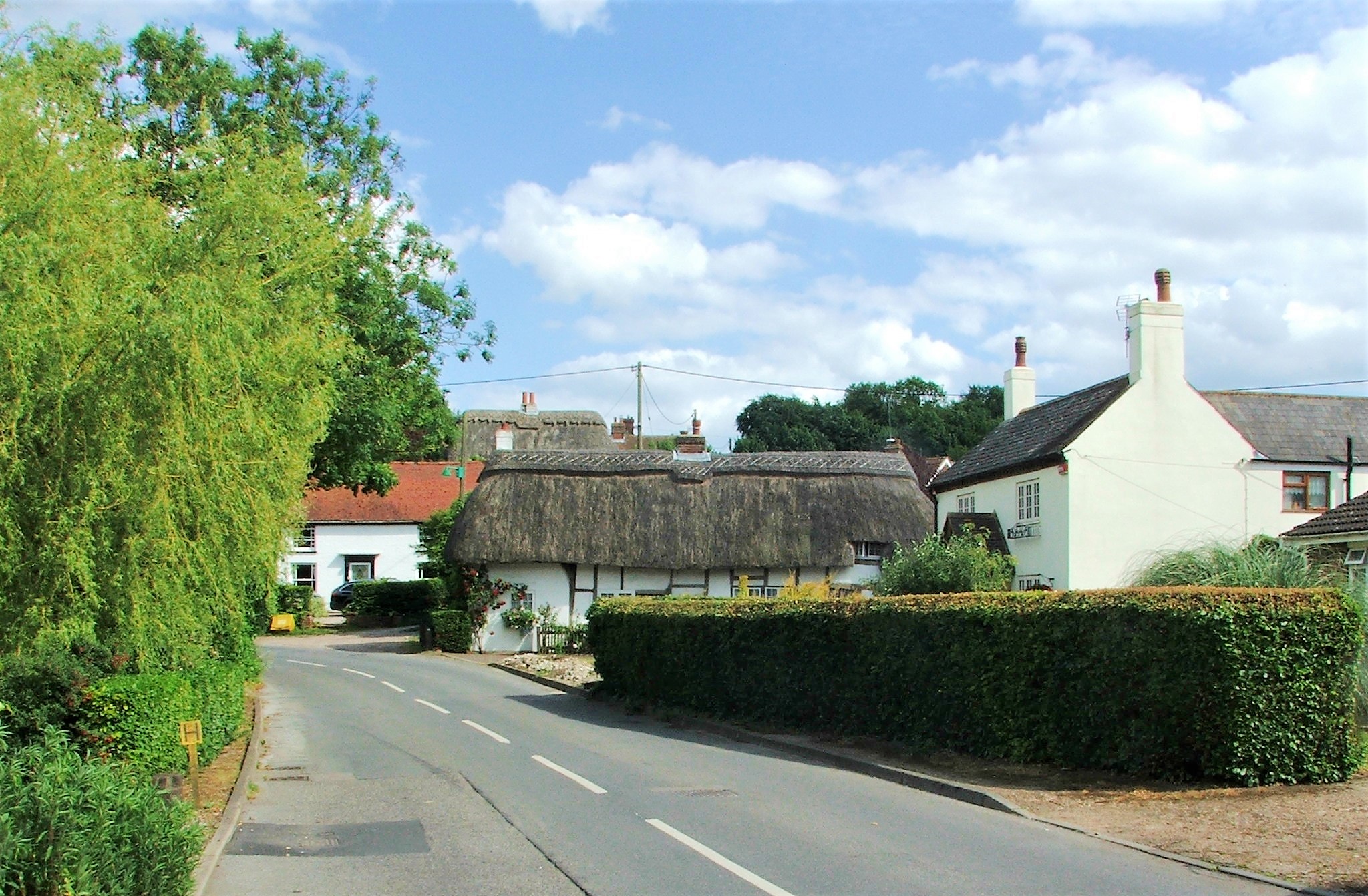
Barfrestone
Barfrestone is a village and (as Barfreston) a former civil parish, now in the parish of Eythorne, in the Dover district, in east Kent, England. It is...
Frogham, Kent
Frogham is a hamlet in the Dover District of East Kent, England, between Canterbury and Dover. It is located between the former coal mining village of...
Elvington, Kent
Elvington is a small pit village on a ridge in between Canterbury and Dover in the county of Kent in Southeast England. Located near Eythorne , Elvington...

Snowdown railway station
Snowdown railway station is on the Dover branch of the Chatham Main Line in England, and serves the hamlet of Snowdown, Kent. It is 69 miles 60 chains...
East Kent Railway (heritage)
The East Kent Railway (EKR) is a heritage railway in Kent, England. It is located at Shepherdswell station on the London and Chatham to Dover mainline...

Snowdown
Snowdown is a hamlet near Dover in Kent, England. It was the location of one of the four chief collieries of the Kent coalfield, which closed in 1987....
Nonington
Nonington (variously, Nonnington, Nunyngton, Nonnyngton and Nunnington), is a civil parish and village in east Kent, halfway between the historic city...

Tilmanstone Colliery Halt railway station
Tilmanstone Colliery Halt was a station on the East Kent Light Railway. It opened on 16 October 1916 and was renamed Elvington in 1925. It closed to passenger...
Nearby Amenities
Located within 500m of 51.209196,1.2360346Have you been to Limekiln Plantation?
Leave your review of Limekiln Plantation below (or comments, questions and feedback).