Arnup's Belt
Wood, Forest in Norfolk Broadland
England
Arnup's Belt

Arnup's Belt is a wood located in Norfolk, England. Covering an area of approximately 200 acres, it is a dense forest that is home to a variety of flora and fauna. The belt is situated near the village of Arnup and is named after it.
The wood is primarily composed of deciduous trees, with oak, beech, and ash being the dominant species. These trees form a dense canopy, providing shade and shelter for the diverse wildlife that inhabits the area. The forest floor is covered in a thick layer of leaf litter, creating a rich habitat for numerous species of insects, small mammals, and birds.
Arnup's Belt is known for its tranquil and picturesque beauty, making it a popular destination for nature enthusiasts and hikers. The wood is crisscrossed by several walking trails, allowing visitors to explore its natural wonders at their own pace.
The wood is also home to a variety of bird species, including woodpeckers, owls, and various songbirds. It is not uncommon to spot deer and other small mammals darting through the undergrowth. The wood is also an important breeding ground for several rare and protected species of butterflies and moths.
Arnup's Belt is managed by the local conservation authority, which ensures the preservation of its natural beauty and the protection of its wildlife. The wood provides a valuable ecosystem service, acting as a carbon sink and contributing to the local biodiversity.
Overall, Arnup's Belt is a precious natural asset, offering a peaceful retreat and a haven for wildlife in Norfolk.
If you have any feedback on the listing, please let us know in the comments section below.
Arnup's Belt Images
Images are sourced within 2km of 52.661597/1.342407 or Grid Reference TG2612. Thanks to Geograph Open Source API. All images are credited.


Arnup's Belt is located at Grid Ref: TG2612 (Lat: 52.661597, Lng: 1.342407)
Administrative County: Norfolk
District: Broadland
Police Authority: Norfolk
What 3 Words
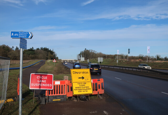
///bought.fishery.privately. Near Rackheath, Norfolk
Nearby Locations
Related Wikis
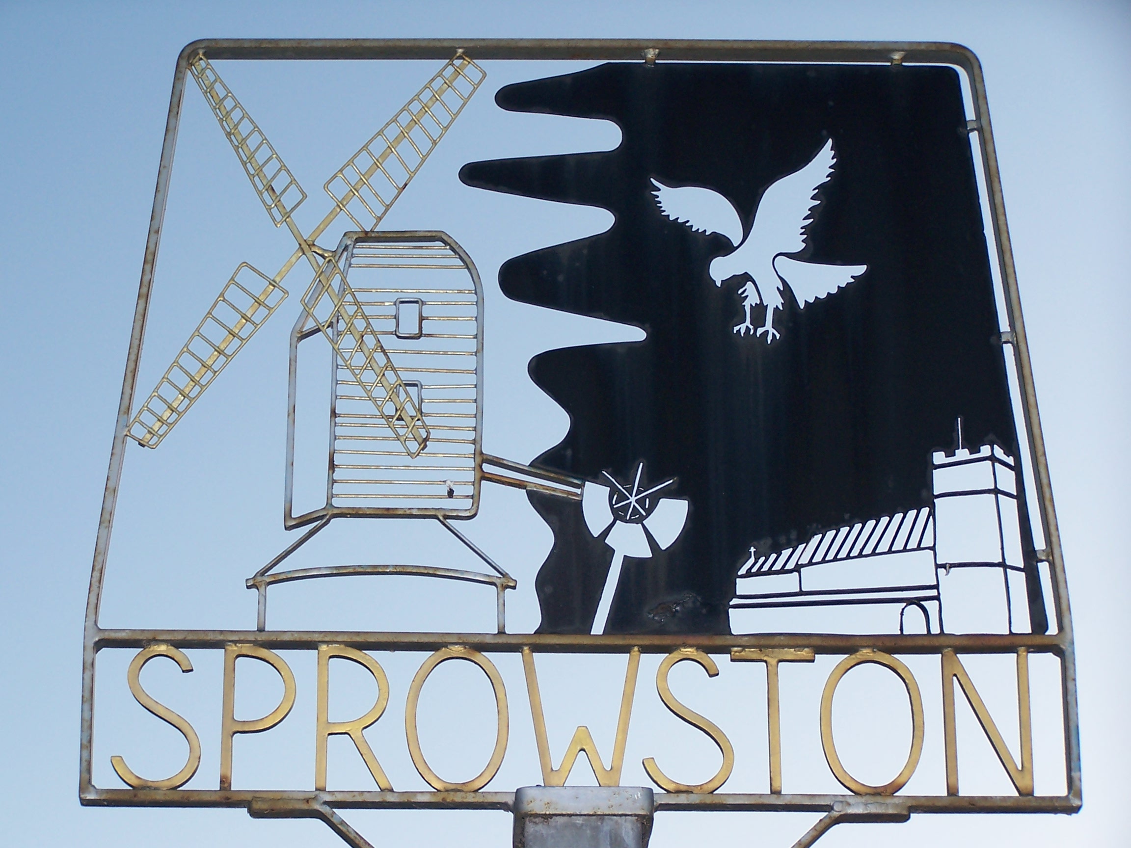
Sprowston
Sprowston ( or ) is a town and civil parish in the Broadland district of Norfolk, England. It is bounded by Heartsease to the east, Mousehold Heath and...

Sprowston Community Academy
Sprowston Community Academy is a coeducational secondary school located in Sprowston, Norwich, Norfolk, England. == Description == Ofsted visiting the...
Beeston St Andrew
Beeston St Andrew is a civil parish north of Norwich in the Broadland district of Norfolk, England. It contains Beeston Park and according to the 2001...

Norwich Northern Distributor Road
The Norwich Northern Distributor Road, now officially named the Broadland Northway (but also known as the NDR) is a 12.4 mi (20.0 km) dual-carriageway...

RAF Mousehold Heath
The area of Norwich between the Salhouse and Plumstead roads (outside of the outer ring road) was originally the Cavalry Training Ground and then became...
Open Academy
Open Academy (formerly Heartsease High School) is a secondary school with academy status located in the Heartsease area of Norwich, in the English county...
Heartsease Estate, Norwich
The Heartsease is a housing estate located in Norwich, Norfolk and takes its name from the heartsease, a common European wild flower. == Location == The...
Rackheath
Rackheath is a village and civil parish in the English county of Norfolk, and is roughly 6 miles (9.7 km) north-east of Norwich city centre. It covers...
Related Videos
Roses are a great addition to a new build garden forming green cover for fences and flowering.
Mikes been helping our son in his new build garden tie in the climbing roses which have covered the fence in just a little over a ...

Me and my family's holiday to hemsby
Were at a night club thing so where the kids had to copy dances and listen to what the people were telling them to do.

Christmas Stock Clearance #highstreetbargains #supportlocal supportlocal
CHRITMAS STOCK CLEARANCE ! Up To 50% Off Selected Lines Lights, Decorations, Gift Wrap, Cards, Table Decorations.
A very chilled out walk in the woods!
Norwich #DogWalkerNorwich#ParksOfNorwich #DogWalksNorwich #DogsHavingFun #CuteDogs #HappyDogs ...
Nearby Amenities
Located within 500m of 52.661597,1.342407Have you been to Arnup's Belt?
Leave your review of Arnup's Belt below (or comments, questions and feedback).