Block Field
Wood, Forest in Suffolk East Suffolk
England
Block Field
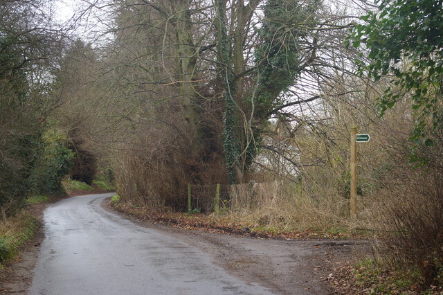
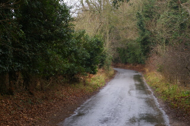
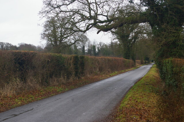
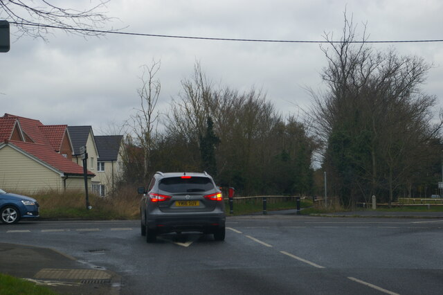
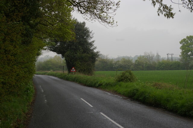
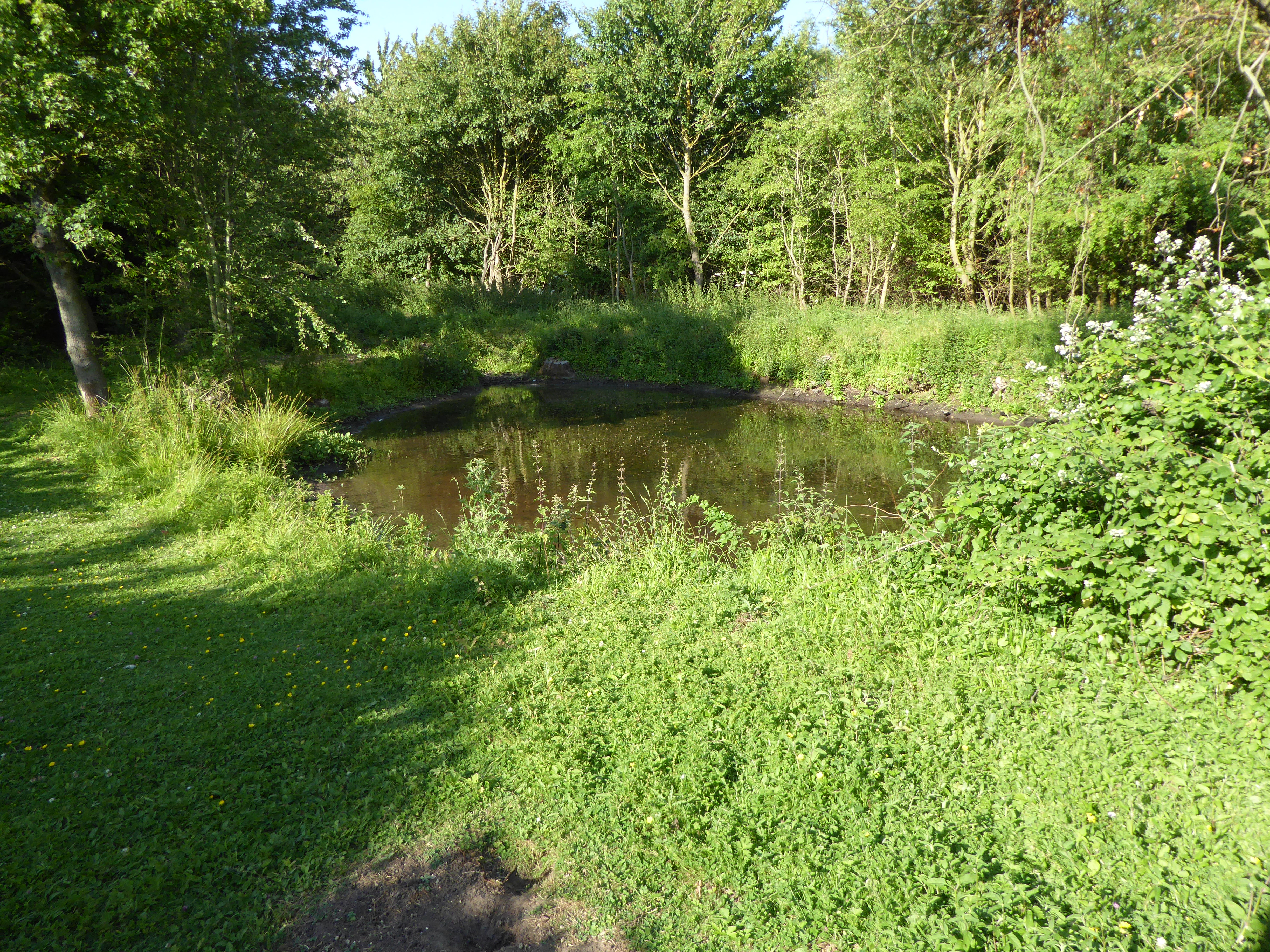
Block Field is a picturesque woodland area located in Suffolk, England. Covering a vast expanse of approximately 200 acres, it is a haven for nature lovers and outdoor enthusiasts. The forest is known for its dense canopy of trees, predominantly composed of oak, beech, and birch. These towering trees create a serene and tranquil atmosphere, providing a habitat for various wildlife species.
The forest floor is covered with a thick layer of moss and fallen leaves, adding to the beauty and allure of the landscape. Walking along the well-maintained trails, visitors can marvel at the vibrant colors of wildflowers that bloom during the spring and summer months.
Block Field is home to an abundance of wildlife, including deer, foxes, badgers, and a wide array of bird species. Birdwatchers can spot woodpeckers, owls, and various migratory birds during their visit. The forest also boasts several ponds, attracting a diverse range of amphibians and insects.
For nature enthusiasts seeking outdoor activities, Block Field offers opportunities for hiking, cycling, and picnicking. The numerous trails cater to different fitness levels, ensuring that there is something for everyone. The forest is also a popular spot for photography, with its picturesque scenery providing countless opportunities for capturing stunning shots.
Managed by the local authorities, Block Field is well-preserved and offers facilities such as parking, picnic areas, and public restrooms. It is a perfect destination for those looking to immerse themselves in nature and enjoy the tranquility of a Suffolk woodland.
If you have any feedback on the listing, please let us know in the comments section below.
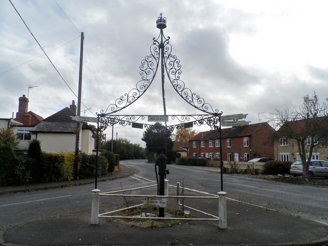
Block Field Images
Images are sourced within 2km of 52.110535/1.3009013 or Grid Reference TM2650. Thanks to Geograph Open Source API. All images are credited.


Block Field is located at Grid Ref: TM2650 (Lat: 52.110535, Lng: 1.3009013)
Administrative County: Suffolk
District: East Suffolk
Police Authority: Suffolk
What 3 Words
///blockage.point.moods. Near Woodbridge, Suffolk
Nearby Locations
Related Wikis
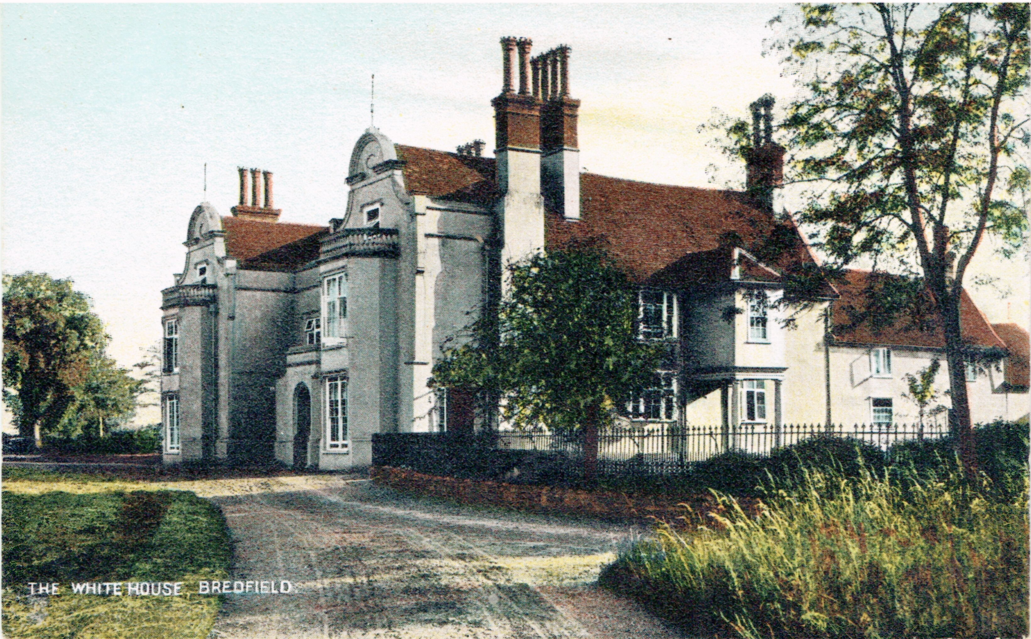
Bredfield House
Bredfield House (or White House as it was also known) was a now-demolished country house situated in the village of Bredfield, around 2 miles north of...

Farlingaye High School
Farlingaye High School is a co-educational secondary school and sixth form with academy status located in Woodbridge in the English county of Suffolk within...
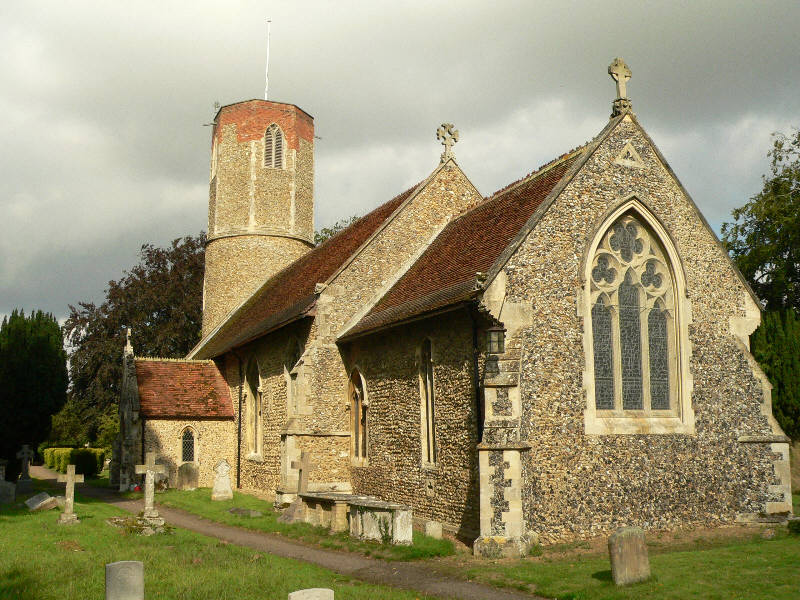
Hasketon
Hasketon is a village and civil parish in the East Suffolk District of Suffolk, England. Its church, St. Andrews, is one of 38 existing round-tower churches...
Foxburrow Farm
Foxburrow Farm is a 67 hectare nature reserve north of Melton in Suffolk. It is managed by the Suffolk Wildlife Trust.Part of this site is a working farm...
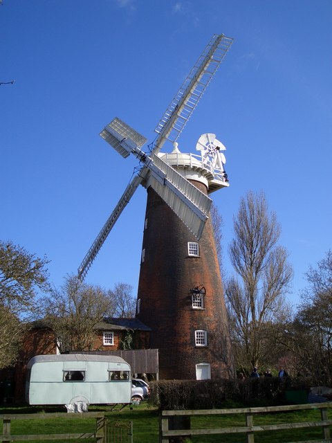
Buttrum's Mill, Woodbridge
Buttrum's Mill or Trott's Mill is a Grade II listed tower mill at Woodbridge, Suffolk, England which has been restored to working order. == History... ==
Woodbridge School
Woodbridge School is an independent school in Woodbridge, Suffolk, England, founded in 1577, for the poor of Woodbridge. It was later supported by the...

Boulge
Boulge is a hamlet and civil parish in the East Suffolk district of Suffolk, England. It is about 3 miles (5 km) north of Woodbridge. The population remained...

Seckford Hospital
Seckford Hospital is a grade II* listed former almshouse in Seckford Street, Woodbridge, Suffolk, England. It is of red brick with yellow brick dressings...
Nearby Amenities
Located within 500m of 52.110535,1.3009013Have you been to Block Field?
Leave your review of Block Field below (or comments, questions and feedback).