Hill Covert
Wood, Forest in Norfolk North Norfolk
England
Hill Covert

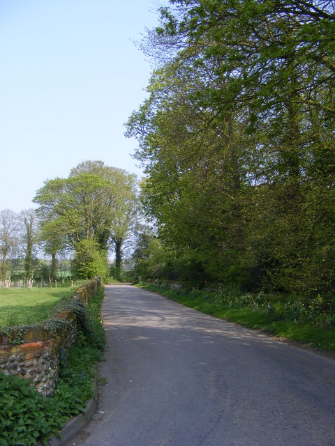
Hill Covert is a picturesque woodland area located in Norfolk, England. Situated in the heart of the Norfolk Broads, it offers a tranquil and natural escape for visitors. This enchanting forest is known for its dense canopy of trees, creating a serene and secluded atmosphere.
Covering an area of approximately 100 acres, Hill Covert is home to a diverse range of flora and fauna. Visitors can expect to see a variety of native tree species, including oak, birch, ash, and beech, which dominate the landscape. The forest floor is carpeted with a rich undergrowth of ferns, mosses, and wildflowers, adding to the overall beauty of the area.
The woodland is also a haven for wildlife enthusiasts, with an abundance of animal species calling it home. Squirrels can be spotted darting between the trees, while birdwatchers can enjoy the melodious songs of thrushes, warblers, and woodpeckers. Lucky visitors may even catch a glimpse of elusive creatures such as deer and foxes, which roam the forest in search of food and shelter.
Hill Covert offers a range of recreational activities for nature enthusiasts. There are several well-maintained walking trails that allow visitors to explore the forest at their own pace. These trails wind through the woodland, providing opportunities for peaceful walks and birdwatching. Additionally, there are designated picnic areas where families and friends can relax and enjoy a meal surrounded by the beauty of nature.
Overall, Hill Covert in Norfolk is a true gem for those seeking a peaceful retreat in the midst of nature. Its lush woodland, diverse wildlife, and serene ambiance make it an ideal destination for nature lovers and outdoor enthusiasts alike.
If you have any feedback on the listing, please let us know in the comments section below.
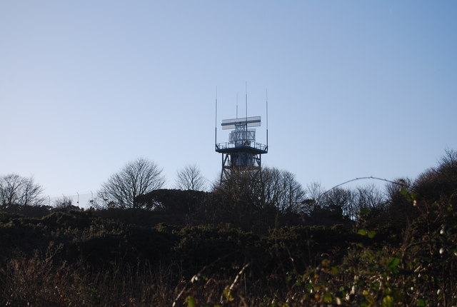
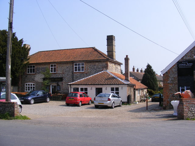
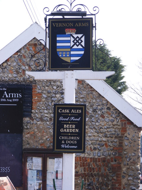
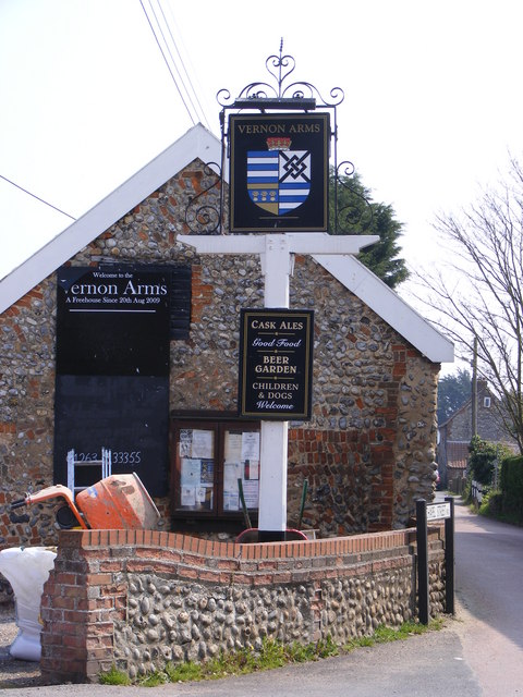
Hill Covert Images
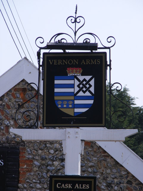
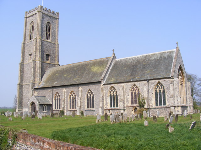
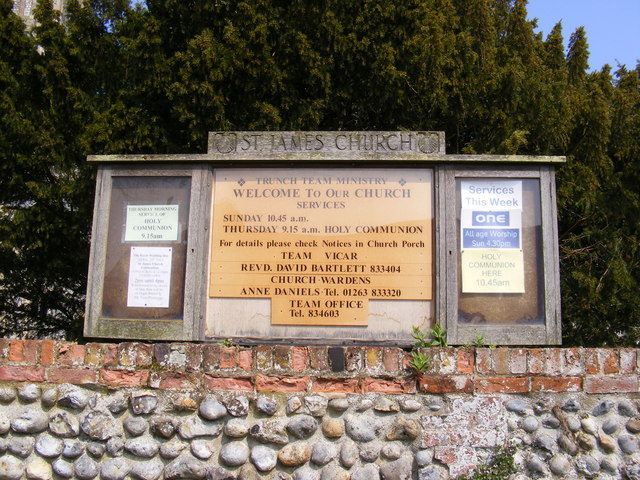
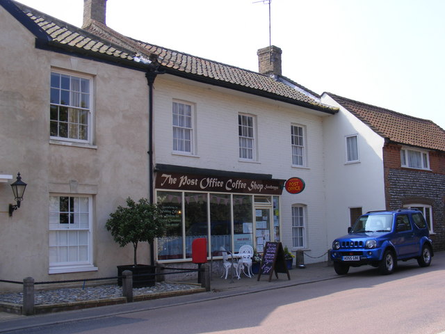
Images are sourced within 2km of 52.89379/1.3594127 or Grid Reference TG2638. Thanks to Geograph Open Source API. All images are credited.


Hill Covert is located at Grid Ref: TG2638 (Lat: 52.89379, Lng: 1.3594127)
Administrative County: Norfolk
District: North Norfolk
Police Authority: Norfolk
What 3 Words
///blurred.plus.customers. Near Overstrand, Norfolk
Related Wikis

Frogshall
Frogshall is a small hamlet within the civil parish of Northrepps in the English county of Norfolk. The hamlet is 5.2 miles (8.4 km) southeast of Cromer...

Sidestrand Halt railway station
Sidestrand Halt was a railway station on the Norfolk and Suffolk Joint Railway which briefly served the Norfolk coastal village of Sidestrand from 1936...
Sidestrand
Sidestrand is a village and a civil parish on the coast of the English county of Norfolk. The village is 23.7 mi (38.1 km) north of Norwich, 3.3 mi (5...

Trimingham railway station
Trimingham railway station was a station in Trimingham, Norfolk on the Norfolk and Suffolk Joint Railway line between Cromer Beach and North Walsham. It...
Have you been to Hill Covert?
Leave your review of Hill Covert below (or comments, questions and feedback).