Coopersholes Plantation
Wood, Forest in Norfolk Broadland
England
Coopersholes Plantation
Coopersholes Plantation is a picturesque woodland located in the county of Norfolk, England. Spanning over a vast area, this plantation is renowned for its rich biodiversity and scenic beauty, attracting nature enthusiasts and hikers alike.
The plantation is primarily composed of various species of deciduous and coniferous trees, forming a dense canopy that provides shade and shelter to a plethora of wildlife. Oak, beech, and pine trees dominate the landscape, lending an enchanting charm to the surroundings. The forest floor is carpeted with a diverse array of wildflowers, ferns, and mosses, creating a vibrant tapestry of colors.
Coopersholes Plantation boasts a network of well-maintained trails, allowing visitors to explore the woodland and immerse themselves in its natural splendor. The trails wind through the plantation, offering breathtaking views of the surrounding countryside. Birdwatchers can spot a range of avian species, including woodpeckers, owls, and various songbirds, while small mammals such as squirrels and rabbits can also be spotted darting among the trees.
Beyond its natural beauty, Coopersholes Plantation holds historical significance as well. It was once part of a larger estate owned by the Cooper family, who were prominent landowners in the region during the 19th century. The remnants of an old hunting lodge can still be seen, serving as a reminder of the area's past.
Whether it's a leisurely stroll, a peaceful picnic, or an adventurous hike, Coopersholes Plantation offers a tranquil escape from the hustle and bustle of everyday life, providing visitors with an opportunity to reconnect with nature and appreciate the wonders of Norfolk's woodlands.
If you have any feedback on the listing, please let us know in the comments section below.
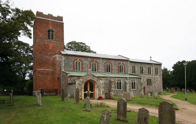
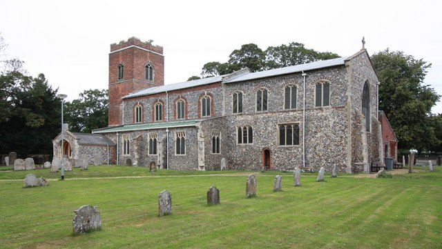
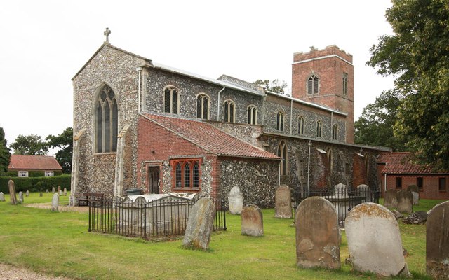
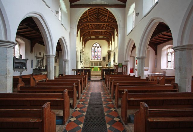
Coopersholes Plantation Images
Images are sourced within 2km of 52.671519/1.3426618 or Grid Reference TG2613. Thanks to Geograph Open Source API. All images are credited.


Coopersholes Plantation is located at Grid Ref: TG2613 (Lat: 52.671519, Lng: 1.3426618)
Administrative County: Norfolk
District: Broadland
Police Authority: Norfolk
What 3 Words
///shovels.purist.strongman. Near Spixworth, Norfolk
Nearby Locations
Related Wikis

Beeston St Andrew
Beeston St Andrew is a civil parish north of Norwich in the Broadland district of Norfolk, England. It contains Beeston Park and according to the 2001...

Norwich Northern Distributor Road
The Norwich Northern Distributor Road, now officially named the Broadland Northway (but also known as the NDR) is a 12.4 mi (20.0 km) dual-carriageway...
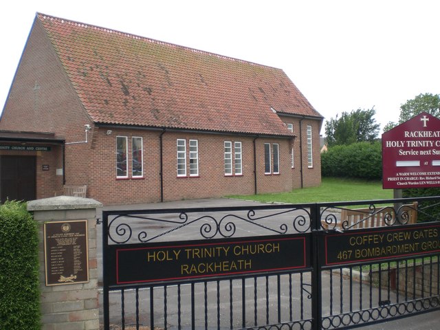
Rackheath
Rackheath is a village and civil parish in the English county of Norfolk, and is roughly 6 miles (9.7 km) north-east of Norwich city centre. It covers...
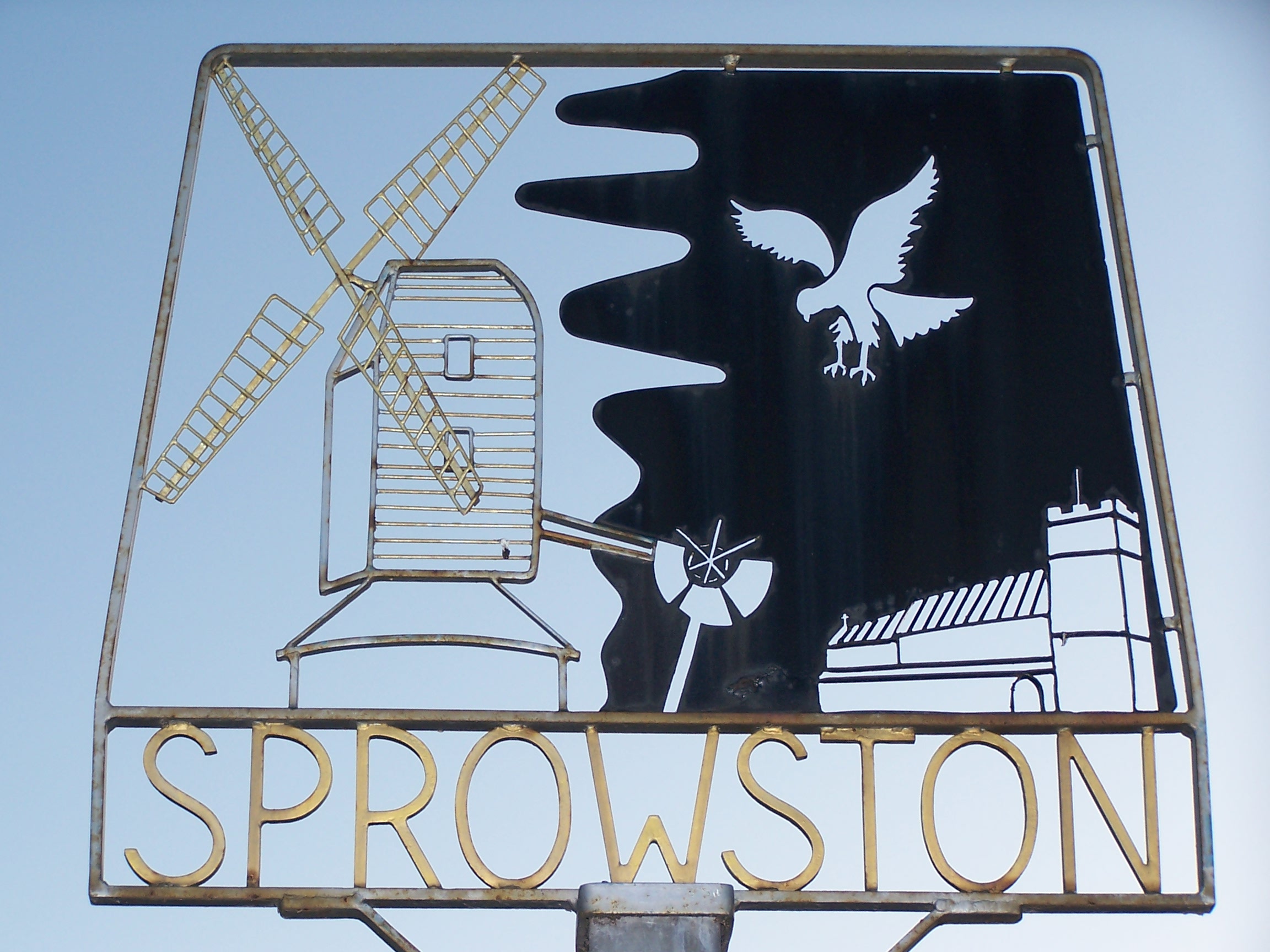
Sprowston
Sprowston ( or ) is a town and civil parish in the Broadland district of Norfolk, England. It is bounded by Heartsease to the east, Mousehold Heath and...
Related Videos
Roses are a great addition to a new build garden forming green cover for fences and flowering.
Mikes been helping our son in his new build garden tie in the climbing roses which have covered the fence in just a little over a ...

Me and my family's holiday to hemsby
Were at a night club thing so where the kids had to copy dances and listen to what the people were telling them to do.


Pymm & Co present this three-bedroom semi-detached chalet bungalow in Sprowston, Norwich.
Pymm & Co are delighted to offer this three-bedroom semi-detached chalet bungalow set in the popular suburb of Sprowston, ...
Nearby Amenities
Located within 500m of 52.671519,1.3426618Have you been to Coopersholes Plantation?
Leave your review of Coopersholes Plantation below (or comments, questions and feedback).