Corporation Plantation
Wood, Forest in Norfolk South Norfolk
England
Corporation Plantation
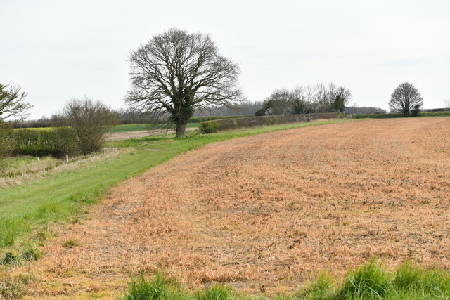
Corporation Plantation, Norfolk (Wood, Forest) is a well-preserved woodland area located in Norfolk, England. Spanning over a vast area, it is known for its rich biodiversity and natural beauty. The plantation is managed by the local corporation, which ensures its protection and maintenance.
The woodland is predominantly composed of a variety of tree species, including oak, beech, birch, and pine. The thick canopy of trees creates a serene and peaceful atmosphere, making it a popular spot for nature enthusiasts and hikers. The forest floor is covered with a lush carpet of ferns, wildflowers, and mosses, adding to its picturesque charm.
Corporation Plantation is home to a diverse range of wildlife. Birds such as woodpeckers, owls, and various songbirds can be spotted here, making it a paradise for birdwatchers. Additionally, the woodland provides a habitat for small mammals like squirrels, rabbits, and foxes.
The plantation offers several well-maintained trails for visitors to explore the area. These trails wind through the woodland, providing opportunities for leisurely walks or vigorous hikes. Along the way, visitors can enjoy the peaceful atmosphere and observe the various flora and fauna that call the plantation home.
Overall, Corporation Plantation, Norfolk (Wood, Forest) is a haven for nature lovers, offering a tranquil escape from the bustling city life. Its abundant wildlife, diverse plant species, and well-preserved trails make it a must-visit destination for anyone seeking to reconnect with nature.
If you have any feedback on the listing, please let us know in the comments section below.
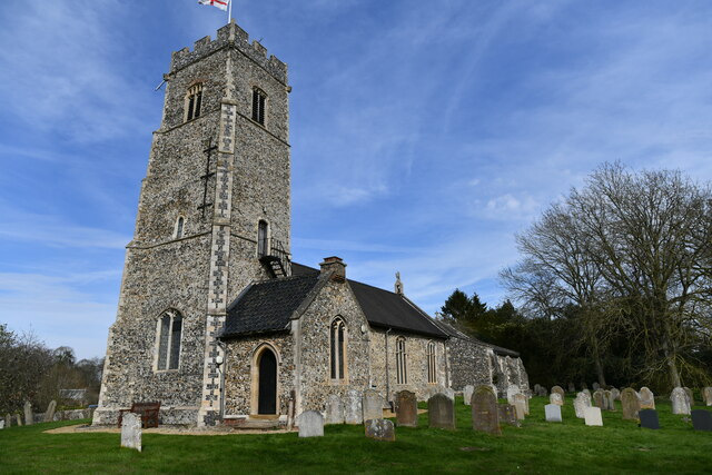
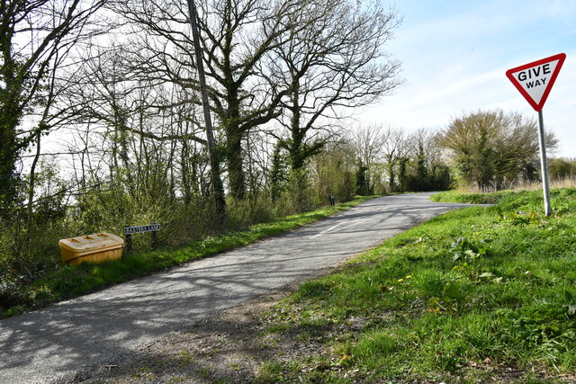
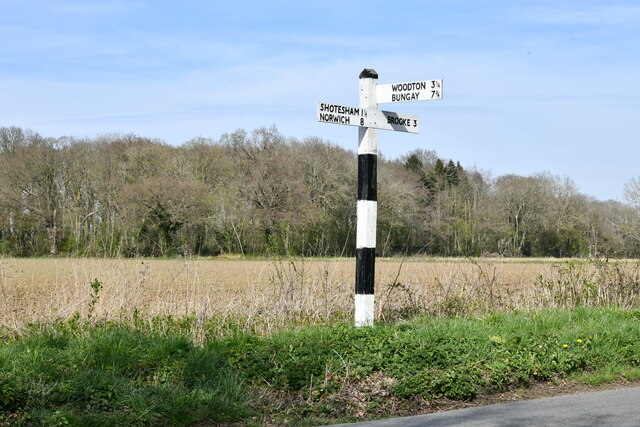
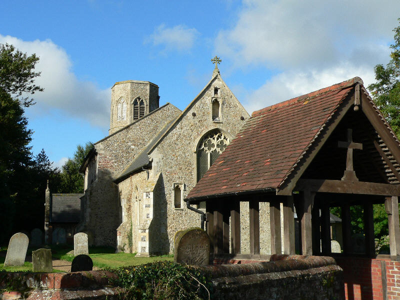
Corporation Plantation Images
Images are sourced within 2km of 52.543651/1.3325762 or Grid Reference TM2699. Thanks to Geograph Open Source API. All images are credited.


Corporation Plantation is located at Grid Ref: TM2699 (Lat: 52.543651, Lng: 1.3325762)
Administrative County: Norfolk
District: South Norfolk
Police Authority: Norfolk
What 3 Words
///flicked.destroyer.notch. Near Brooke, Norfolk
Nearby Locations
Related Wikis

Shotesham
Shotesham () is a village in South Norfolk which lies approximately 5 miles south of Norwich. It sits next to Stoke Holy Cross and Saxlingham Nethergate...

Howe, Norfolk
Howe is a village and civil parish in South Norfolk, England. It is situated between Poringland, Brooke and Shotesham. It covers an area of 3.20 km2...

Shotesham Common
Shotesham Common is a 21.6-hectare (53-acre) biological Site of Special Scientific Interest south of Norwich in Norfolk.This site consists of traditionally...
Poringland
Poringland is a village in the district of South Norfolk, England. It lies 5 miles (8.0 km) south of Norwich city centre and 10 miles (16 km) north of...

Shotesham-Woodton Hornbeam Woods
Shotesham-Woodton Hornbeam Woods is a 40.4-hectare (100-acre) biological Site of Special Scientific Interest east of Newton Flotman in Norfolk.This site...
Brooke, Norfolk
Brooke is a village and civil parish in the South Norfolk district of Norfolk, England, about 7 miles south of Norwich and roughly equidistant from Norwich...
Saxlingham Nethergate
Saxlingham Nethergate is a village and civil parish in Norfolk, England, about 9.5 miles (15 km) south of Norwich. The civil parish has an area of 3.3...

Stoke Holy Cross
Stoke Holy Cross is a village in South Norfolk which lies approximately 4 miles (6.4 km) south of Norwich. == Geography == Stoke sits on the River Tas...
Nearby Amenities
Located within 500m of 52.543651,1.3325762Have you been to Corporation Plantation?
Leave your review of Corporation Plantation below (or comments, questions and feedback).