Frimley Ridge

Settlement in Surrey Surrey Heath

England

Frimley Ridge

Junction of Crawley Ridge and Branksome Park Rd A pleasant housing area a few minutes from Camberley centre
Junction of Crawley Ridge and Branksome Park Rd Credit: Graham Clutton

Frimley Ridge is a scenic area located in the county of Surrey, England. Situated on the outskirts of the town of Frimley, the ridge offers breathtaking views and a tranquil environment for visitors and residents alike.

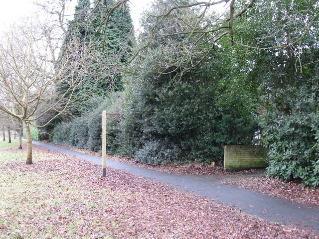
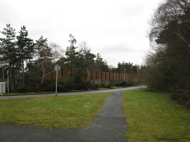
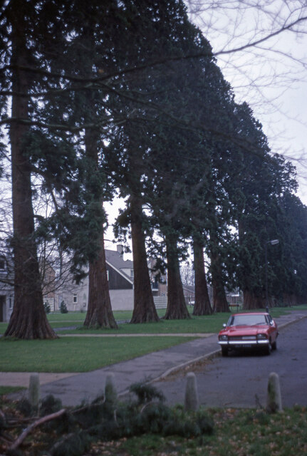
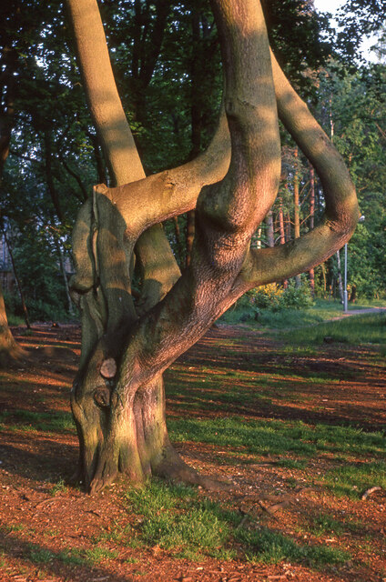
The ridge itself is a long, elevated stretch of land that runs parallel to the surrounding countryside. Covered in lush greenery and dotted with trees, it provides a picturesque setting for outdoor activities such as walking, hiking, and birdwatching. The well-maintained footpaths and trails make it easily accessible for nature enthusiasts and those seeking a peaceful retreat.

One of the standout features of Frimley Ridge is its close proximity to various notable landmarks. The ridge overlooks the historic Royal Military Academy Sandhurst, adding a touch of prestige to the area. In addition, nearby attractions include Frimley Lodge Park, which offers recreational facilities such as a lake, playgrounds, and sports fields.

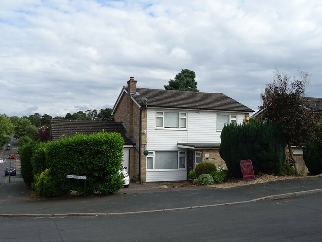
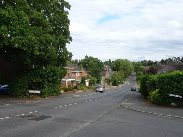
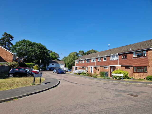
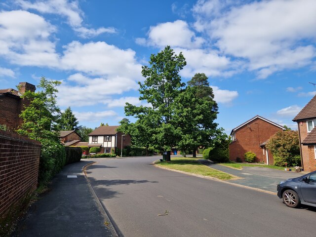
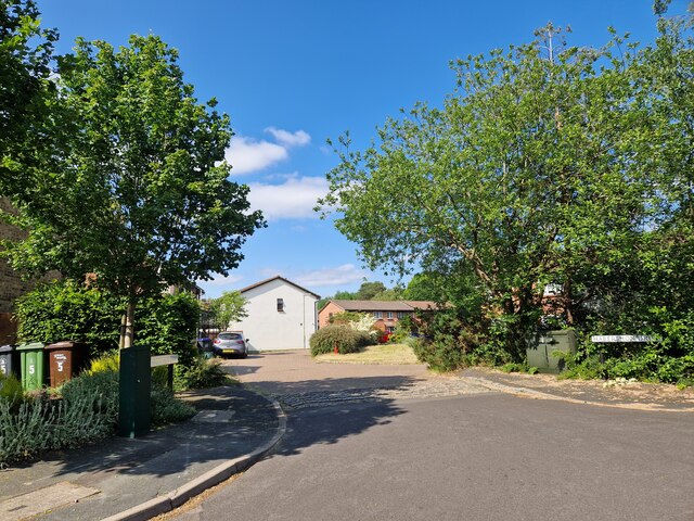
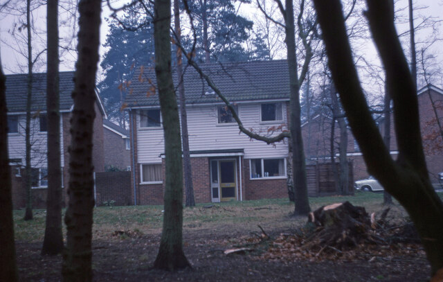
The area surrounding Frimley Ridge is predominantly residential, with a mix of houses and apartments. The community is known for its friendly atmosphere and strong sense of community spirit. The nearby town of Frimley provides residents with all necessary amenities, including shops, restaurants, and schools.

Frimley Ridge benefits from excellent transport links, with easy access to major road networks such as the M3 and A331. The nearby Frimley railway station provides regular train services to London and other major cities.

Overall, Frimley Ridge is a charming and desirable location, offering natural beauty, convenient amenities, and a strong sense of community.

If you have any feedback on the listing, please let us know in the comments section below.

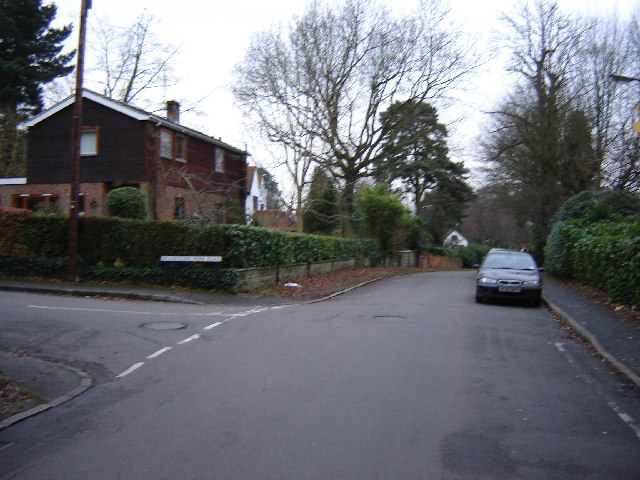
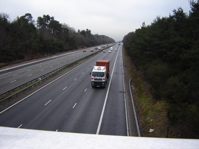
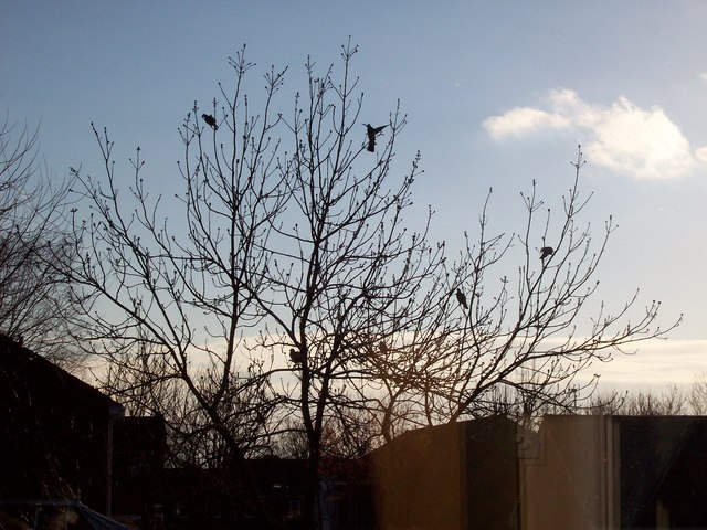
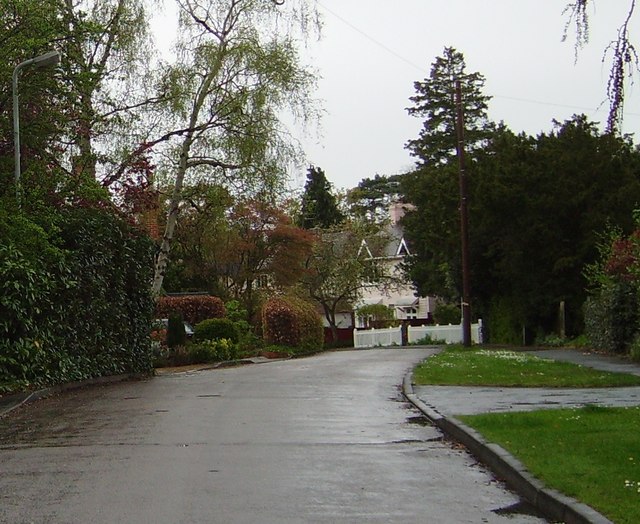
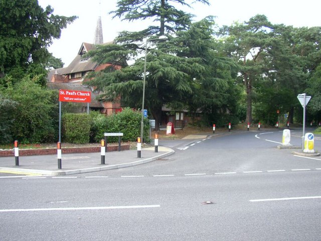
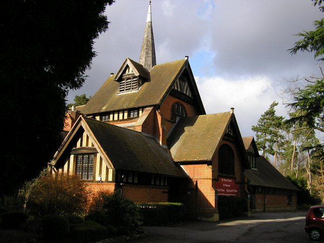
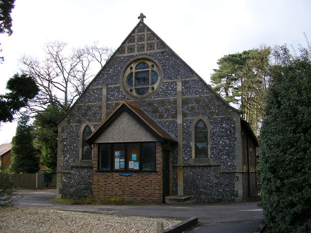
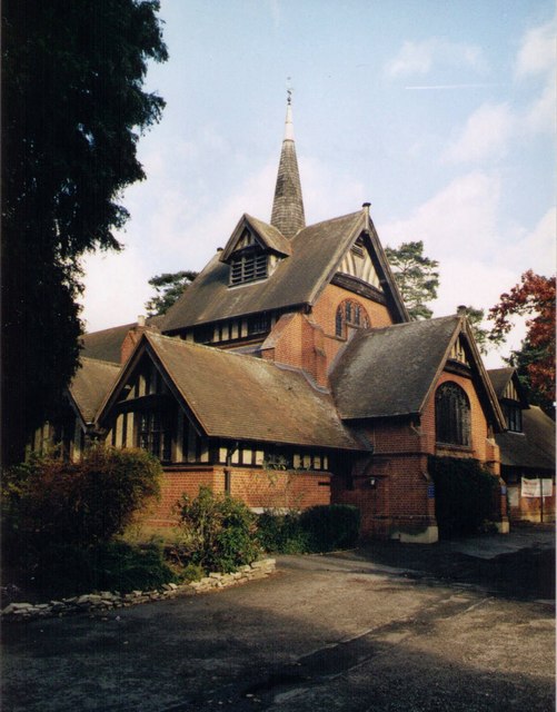
Frimley Ridge Images

Images are sourced within 2km of 51.323151/-0.7241519 or Grid Reference SU8959. Thanks to Geograph Open Source API. All images are credited.

Junction of Crawley Ridge and Branksome Park Rd A pleasant housing area a few minutes from Camberley centre
Junction of Crawley Ridge and Branksome Park Rd
A pleasant housing area a few minutes from Camberley centre
M3 between J3 and J4 This is photographed from the Ravenswood Roundabout on the A325. There is no junction here. The nearby housing is quite exclusive but the Motorway intrudes.
M3 between J3 and J4
This is photographed from the Ravenswood Roundabout on the A325. There is no junction here. The nearby housing is quite exclusive but the Motorway intrudes.
7 Pigeons, 1 Tree Not a partridge in a pear tree, but 7 pigeons feeding from the gum present on the buds on this tree.
7 Pigeons, 1 Tree
Not a partridge in a pear tree, but 7 pigeons feeding from the gum present on the buds on this tree.
Grange Road, Camberley
Junction of Crawley Ridge and Church Hill with St Paul's Church St Paul's Anglican church is located at the top of Church Hill and lies in a commanding position over this grid square, and east Camberley. The original church (now a hall) was built in 1890's and the current church building erected in the early 20th century. This present church building was designed by a Danish architect in Scandinavian style.
Junction of Crawley Ridge and Church Hill with St Paul's Church
St Paul's Anglican church is located at the top of Church Hill and lies in a commanding position over this grid square, and east Camberley. The original church (now a hall) was built in 1890's and the current church building erected in the early 20th century. This present church building was designed by a Danish architect in Scandinavian style.
St. Paul's Church, Camberley Picturesque church at the top of Church Hill!
St. Paul's Church, Camberley
Picturesque church at the top of Church Hill!
St. Paul's Church Hall, Camberley The church hall is immediately beside St. Paul's church.
St. Paul's Church Hall, Camberley
The church hall is immediately beside St. Paul's church.
St Paul, Camberley Built in 1902.
St Paul, Camberley
Built in 1902.
Short public footpath This path is about 15 metres long and connects the Portsmouth road footpath with Lime Avenue.
Short public footpath
This path is about 15 metres long and connects the Portsmouth road footpath with Lime Avenue.
Youlden Drive The start of Youlden Drive. Notice the heavy duty fencing which shields the sound from the M3.
Youlden Drive
The start of Youlden Drive. Notice the heavy duty fencing which shields the sound from the M3.
House on Langdon Close
Cumberland Road, Camberley
Navigating northwards up the Basher (26) Houses in Coniston Close
Navigating northwards up the Basher (26)
Houses in Coniston Close
Cheylesmore Drive: June 2023
Navigating northwards up the Basher (25) Habershon Drive in the summer sunshine
Navigating northwards up the Basher (25)
Habershon Drive in the summer sunshine
House in Kirkstone Close
Trees in Yockley Close I believe these trees are called Wellingtonia.
Trees in Yockley Close
I believe these trees are called Wellingtonia.
Part of a tree in Heatherside
Show me another place!

Frimley Ridge is located at Grid Ref: SU8959 (Lat: 51.323151, Lng: -0.7241519)

Administrative County: Surrey

District: Surrey Heath

Police Authority: Surrey

What 3 Words

///allies.readily.migrate. Near Frimley, Surrey

Nearby Locations

Heatherside Frimley Ridge

Related Wikis

Tomlinscote School

Tomlinscote School is a coeducational secondary school with academy status, located in Frimley, Surrey, England. The school previously held specialist...

Tekels Park

Tekels Park, Camberley, Surrey consists of about 20 hectares (50 acres) of land, grassland and houses. == History == The estate of Frimley Manor was sold...

Frimley and Camberley Urban District

Frimley and Camberley was an urban district in Surrey, England from 1894 to 1974. == Area == Frimley and Camberley consisted of the villages of Frimley...

Frimley

Frimley is a town in the Borough of Surrey Heath in Surrey, England, approximately 30 mi (48 km) southwest of central London. The town is of Saxon origin...

Nearby Amenities

Located within 500m of 51.323151,-0.7241519
Mini Roundabout
Direction: clockwise
Source: Surrey Air Survey
Lat/Long: 51.3224068/-0.7214519
Mini Roundabout
Lat/Long: 51.3204217/-0.7227748
Bus Stop
Warren Rise
Bench: yes
Bin: yes
Bus: yes
Departures Board: realtime
Lit: yes
Naptan AtcoCode: 40004403082A
Naptan Bearing: SW
Naptan CommonName: Warren Rise
Naptan Indicator: Opp
Naptan Landmark: Warren Rise
Naptan NaptanCode: surgajgd
Naptan PlusbusZoneRef: ALDRSHT
Naptan Street: Chobham Road
Naptan Verified: no
Public Transport: platform
Shelter: yes
Source: naptan_import
Tactile Paving: no
Lat/Long: 51.3212327/-0.7276762
Bus Stop
Warren Rise
Bench: no
Bin: yes
Bus: yes
Departures Board: realtime
Lit: yes
Naptan AtcoCode: 40004403082B
Naptan Bearing: NE
Naptan CommonName: Warren Rise
Naptan Indicator: Just Before
Naptan Landmark: Warren Rise
Naptan NaptanCode: surgajgj
Naptan PlusbusZoneRef: ALDRSHT
Naptan Street: Chobham Road
Naptan Verified: no
Public Transport: platform
Shelter: yes
Source: naptan_import
Tactile Paving: no
Lat/Long: 51.3212425/-0.7282229
Bus Stop
Ravenscote School
Bench: yes
Bin: yes
Bus: yes
Departures Board: timetable
Lit: yes
Naptan AtcoCode: 40004403083A
Naptan Bearing: NE
Naptan CommonName: Ravenscote School
Naptan Indicator: adj
Naptan Landmark: Ravenscote School
Naptan NaptanCode: surgajgm
Naptan PlusbusZoneRef: ALDRSHT
Naptan Street: Old Bisley Road
Naptan Verified: no
Public Transport: platform
Shelter: yes
Source: naptan_import
Tactile Paving: no
Lat/Long: 51.3225754/-0.7205137
Bus Stop
Ravenscote School
Bench: no
Bin: no
Bus: yes
Departures Board: timetable
Lit: yes
Naptan AtcoCode: 40004403083B
Naptan Bearing: SW
Naptan CommonName: Ravenscote School
Naptan Indicator: Opp
Naptan Landmark: Ravenscote School
Naptan NaptanCode: surgajgp
Naptan PlusbusZoneRef: ALDRSHT
Naptan Street: Old Bisley Road
Naptan Verified: no
Public Transport: platform
Shelter: yes
Source: naptan_import
Tactile Paving: no
Lat/Long: 51.3225806/-0.7199868
Bus Stop
Tomlinscote Way
Bench: yes
Bin: yes
Bus: yes
Departures Board: timetable
Lit: yes
Naptan AtcoCode: 40004403174A
Naptan Bearing: SW
Naptan CommonName: Tomlinscote Way
Naptan Indicator: Just after
Naptan Landmark: Tomlinscote Way
Naptan NaptanCode: surgapwt
Naptan PlusbusZoneRef: ALDRSHT
Naptan Street: Chobham Road
Naptan Verified: no
Public Transport: platform
Shelter: yes
Source: naptan_import
Tactile Paving: no
Lat/Long: 51.3217097/-0.7248384
Bus Stop
Tomlinscote Way
Bench: yes
Bin: yes
Bus: yes
Departures Board: realtime
Lit: yes
Naptan AtcoCode: 40004403174B
Naptan Bearing: NE
Naptan CommonName: Tomlinscote Way
Naptan Indicator: Just Before
Naptan Landmark: Tomlinscote Way
Naptan NaptanCode: surgatad
Naptan PlusbusZoneRef: ALDRSHT
Naptan Street: Chobham Road
Naptan Verified: no
Public Transport: platform
Shelter: yes
Source: naptan_import
Tactile Paving: no
Lat/Long: 51.3217066/-0.7255296
Post Office
Warren Estate Post Office
Addr Postcode: GU16 8TH
Branch: Warren Estate
Brand: Post Office
Brand Wikidata: Q1783168
Check Date: 2023-04-10
Check Date Opening Hours: 2023-04-10
Contact Website: https://www.postoffice.co.uk/branch-finder/0989002/warren-estate
Opening Hours Signed: no
Ref Pol Id: 1203
Lat/Long: 51.321693/-0.7298004
Crossing
Crossing: unmarked
Crossing Island: no
Kerb: lowered
Lat/Long: 51.3230575/-0.727678
Fast Food
The Gormet Oriental
Cuisine: chinese
Phone: +44 1276 675599
Website: http://www.tgofrimley.com
Lat/Long: 51.3216258/-0.7302141
Kumon
Office: educational_institution
Lat/Long: 51.3216593/-0.7301202
Crossing
Crossing: uncontrolled
Crossing Island: no
Crossing Ref: zebra
Kerb: lowered
Tactile Paving: yes
Traffic Calming: table
Lat/Long: 51.3219735/-0.7236323
Crossing
Crossing: uncontrolled
Crossing Island: no
Crossing Ref: zebra
Kerb: lowered
Tactile Paving: yes
Traffic Calming: table
Lat/Long: 51.3218345/-0.7244555
Crossing
Bicycle: yes
Crossing: unmarked
Crossing Island: no
Crossing Markings: no
Lat/Long: 51.3210285/-0.7289254
Crossing
Bicycle: yes
Crossing: unmarked
Crossing Markings: no
Lat/Long: 51.3213735/-0.7267605
Crossing
Bicycle: yes
Crossing: unmarked
Crossing Markings: no
Kerb: lowered
Lat/Long: 51.3216547/-0.7238581
Crossing
Crossing: unmarked
Crossing Markings: no
Tactile Paving: yes
Lat/Long: 51.3203809/-0.7229318
Barrier: kerb
Kerb: lowered
Tactile Paving: yes
Lat/Long: 51.3204196/-0.7229584
Crossing
Bicycle: yes
Crossing: unmarked
Crossing Markings: no
Kerb: lowered
Lat/Long: 51.3211438/-0.7235038
Barrier: kerb
Kerb: lowered
Tactile Paving: yes
Lat/Long: 51.3213611/-0.7268398
Barrier: kerb
Kerb: lowered
Tactile Paving: yes
Lat/Long: 51.3213825/-0.7267033
Crossing
Crossing: unmarked
Crossing Island: no
Crossing Markings: no
Lat/Long: 51.3210433/-0.7290755
Turning Circle
Lat/Long: 51.319878/-0.7223155
Barrier: kerb
Kerb: lowered
Tactile Paving: yes
Lat/Long: 51.3203537/-0.7229145
Barrier: bollard
Bollard: removable
Lat/Long: 51.319849/-0.722294
Barrier: kerb
Kerb: raised
Tactile Paving: no
Lat/Long: 51.3193757/-0.7220242
Crossing
Crossing: unmarked
Crossing Island: no
Crossing Markings: no
Kerb: lowered
Tactile Paving: no
Lat/Long: 51.3212954/-0.7279629
Crossing
Crossing: unmarked
Crossing Island: no
Crossing Markings: no
Kerb: lowered
Tactile Paving: no
Lat/Long: 51.3212657/-0.7277863
Crossing
Crossing: unmarked
Crossing Markings: no
Kerb: lowered
Lat/Long: 51.3221295/-0.7231057
Crossing
Crossing: uncontrolled
Kerb: lowered
Sloped Curb: yes
Traffic Calming: table
Lat/Long: 51.3232559/-0.7209371
Post Box
Mapillary: 179119437440634
Post Box Mounting: pier
Post Box Type: lamp
Survey Date: 2019-10-12
Lat/Long: 51.3224793/-0.7210569
Crossing
Bicycle: yes
Crossing: uncontrolled
Crossing Island: yes
Tactile Paving: yes
Lat/Long: 51.3217644/-0.7238665
Crossing
Bicycle: yes
Crossing: uncontrolled
Crossing Island: yes
Tactile Paving: yes
Lat/Long: 51.321781/-0.7237899
Crossing
Crossing: unmarked
Crossing Island: no
Crossing Markings: no
Tactile Paving: no
Lat/Long: 51.31936/-0.7219793
Post Box
Operator: Royal Mail
Post Box Type: lamp
Ref: GU16 195
Royal Cypher: EIIR
Royal Cypher Wikidata: Q33102113
Lat/Long: 51.3248101/-0.72791
Barrier: swing_gate
Lat/Long: 51.3193332/-0.7219011
Crossing
Crossing: unmarked
Crossing Markings: no
Kerb: lowered
Lat/Long: 51.3210737/-0.7233661
Barrier: kerb
Kerb: lowered
Tactile Paving: yes
Lat/Long: 51.3216245/-0.723839
Barrier: kerb
Kerb: lowered
Tactile Paving: yes
Lat/Long: 51.3216969/-0.7238849
Barrier: kerb
Kerb: lowered
Tactile Paving: yes
Lat/Long: 51.3211928/-0.7235367
Crossing
Crossing: unmarked
Crossing Island: no
Crossing Markings: no
Lat/Long: 51.3210966/-0.728746
Barrier: kerb
Kerb: raised
Tactile Paving: no
Lat/Long: 51.3193691/-0.7220125
Turning Circle
Lat/Long: 51.3196882/-0.7221757
Barrier: horse_stile
Bicycle: yes
Foot: yes
Horse: yes
Lat/Long: 51.3194354/-0.7217535
Barrier: bollard
Bollard: fixed
Lat/Long: 51.3196793/-0.7221105
Barrier: kerb
Lat/Long: 51.3205909/-0.7228361
Crossing
Crossing: unmarked
Crossing Island: no
Kerb: lowered
Lat/Long: 51.3237619/-0.7259366
Crossing
Crossing: uncontrolled
Crossing Island: yes
Kerb: lowered
Lat/Long: 51.3224612/-0.7209806
Barrier: bollard
Bollard: fixed
Lat/Long: 51.32265/-0.7196348
Barrier: kerb
Lat/Long: 51.3226566/-0.7250915
Barrier: kerb
Lat/Long: 51.3225823/-0.7250795
Barrier: cycle_barrier
Cycle Barrier: double
Cycle Barrier Installation: fixed
Lat/Long: 51.3228132/-0.7213281
Parking
Access: permit
Capacity: 36
Capacity Disabled: 3
Fee: no
Operator: Ravenscote
Operator Type: government
Surface: concrete
Lat/Long: 51.3233319/-0.7189123
Barrier: kerb
Kerb: lowered
Tactile Paving: yes
Lat/Long: 51.3210738/-0.7287312
Barrier: kerb
Kerb: lowered
Tactile Paving: yes
Lat/Long: 51.3213646/-0.7268176
Barrier: kerb
Kerb: lowered
Tactile Paving: yes
Lat/Long: 51.3210193/-0.7290643
Barrier: kerb
Kerb: lowered
Tactile Paving: yes
Lat/Long: 51.3210202/-0.72897
Barrier: kerb
Kerb: lowered
Tactile Paving: no
Lat/Long: 51.3213026/-0.7279301
Barrier: kerb
Kerb: lowered
Tactile Paving: yes
Lat/Long: 51.3204098/-0.7229517
Barrier: kerb
Kerb: lowered
Tactile Paving: yes
Lat/Long: 51.3210599/-0.723409
Barrier: kerb
Kerb: lowered
Tactile Paving: yes
Lat/Long: 51.3210848/-0.7233317
Barrier: kerb
Kerb: lowered
Tactile Paving: yes
Lat/Long: 51.3210383/-0.7288724
Barrier: kerb
Kerb: lowered
Tactile Paving: yes
Lat/Long: 51.3211068/-0.7234796
Barrier: kerb
Kerb: lowered
Tactile Paving: no
Lat/Long: 51.3212477/-0.727777
Barrier: kerb
Kerb: lowered
Tactile Paving: no
Lat/Long: 51.3203647/-0.7229215
Barrier: kerb
Kerb: lowered
Tactile Paving: yes
Lat/Long: 51.3213782/-0.7267308
Barrier: kerb
Kerb: lowered
Tactile Paving: no
Lat/Long: 51.3212967/-0.7278007
Barrier: kerb
Kerb: lowered
Tactile Paving: yes
Lat/Long: 51.3217569/-0.7239011
Barrier: kerb
Kerb: lowered
Tactile Paving: yes
Lat/Long: 51.3217608/-0.7238834
Barrier: kerb
Kerb: lowered
Tactile Paving: yes
Lat/Long: 51.3217849/-0.723772
Barrier: kerb
Kerb: lowered
Tactile Paving: yes
Lat/Long: 51.3217909/-0.7237444
Barrier: kerb
Kerb: lowered
Tactile Paving: yes
Lat/Long: 51.321866/-0.7244704
Barrier: kerb
Kerb: lowered
Tactile Paving: yes
Lat/Long: 51.3219506/-0.7236225
Barrier: kerb
Kerb: lowered
Tactile Paving: yes
Lat/Long: 51.3218132/-0.7244454
Barrier: kerb
Kerb: lowered
Tactile Paving: yes
Lat/Long: 51.3219934/-0.7236408
The data included in this document is from www.openstreetmap.org. The data is made available under ODbL.

Have you been to Frimley Ridge?

Leave your review of Frimley Ridge below (or comments, questions and feedback).