Frimley Green

Settlement in Surrey Surrey Heath

England

Frimley Green

Navigating northwards up the Basher (23) Looking from Thornycroft Avenue into Huntspill Drive
Navigating northwards up the Basher (23) Credit: Basher Eyre

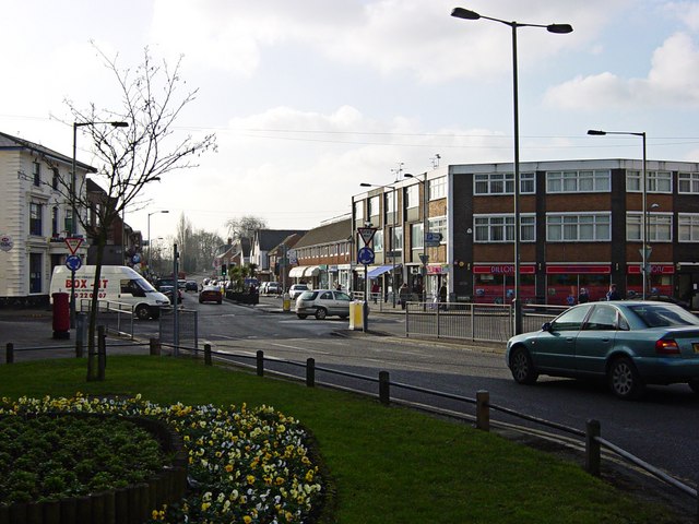
Frimley Green is a small village located in the county of Surrey, England. Situated approximately 30 miles southwest of London, it lies within the borough of Surrey Heath. The village is surrounded by picturesque countryside, offering a tranquil and idyllic setting for its residents.

Frimley Green is perhaps best known for its strong association with darts, as it is home to the renowned Lakeside Country Club. This prestigious venue has hosted the BDO World Professional Darts Championship since 1986, attracting darts enthusiasts from around the world. The championship has become a staple event in the darts calendar and has helped put Frimley Green on the map.

Despite its small size, Frimley Green boasts a range of amenities to cater to its population. The village has a primary school, a post office, a convenience store, and a handful of local pubs and restaurants. Additionally, it benefits from being in close proximity to the larger towns of Camberley and Farnborough, providing residents with easy access to a wider range of shopping, entertainment, and recreational facilities.

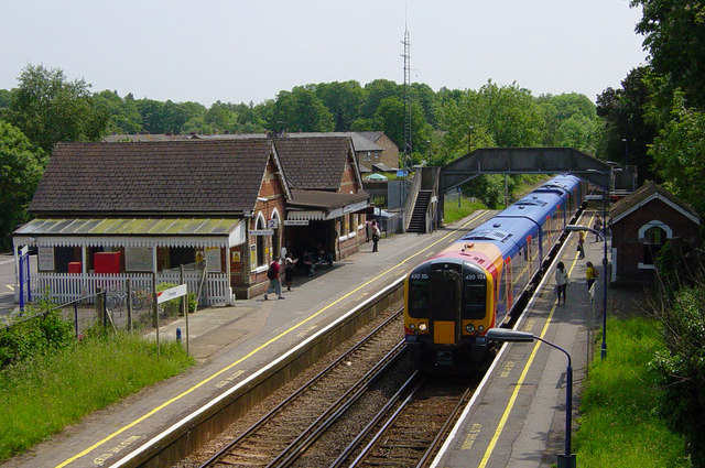
Transport links in Frimley Green are well-developed, with the nearby M3 motorway providing convenient access to London and other major cities. Furthermore, the village is served by regular bus services, connecting it to surrounding areas and neighboring towns.

Overall, Frimley Green offers a peaceful and welcoming environment for its residents, combining the charm of a rural location with the convenience of nearby urban centers. With its darts heritage, beautiful surroundings, and range of amenities, it is a desirable place to live for those seeking a close-knit community within easy reach of larger towns.

If you have any feedback on the listing, please let us know in the comments section below.

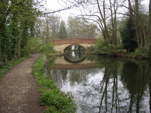
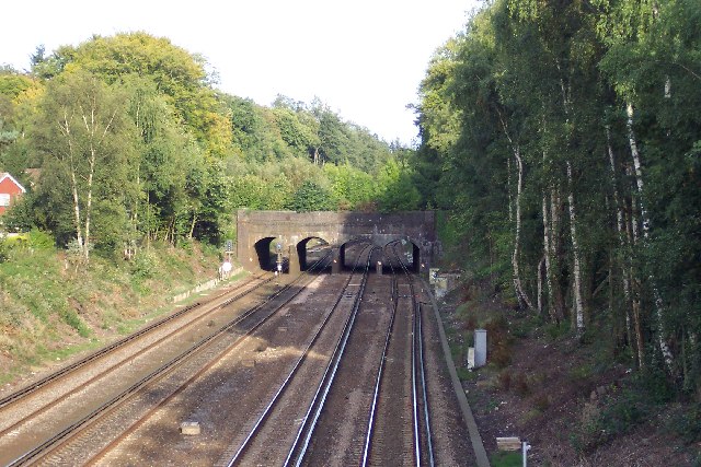
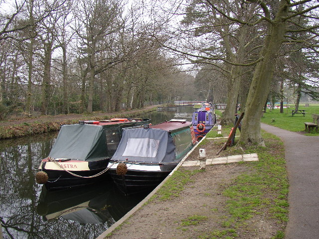
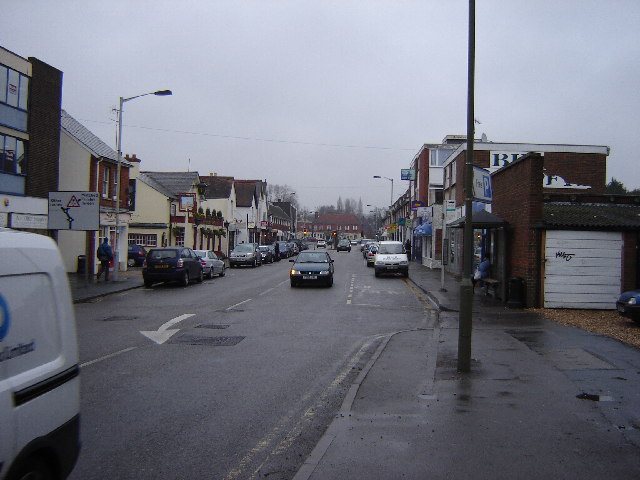
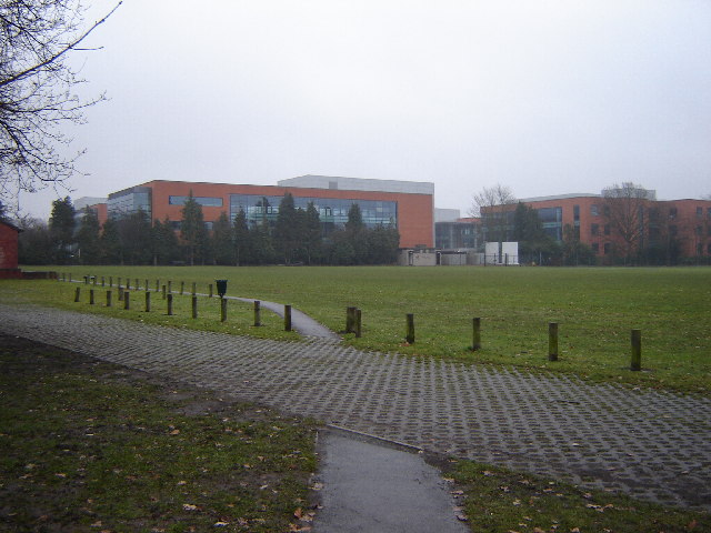
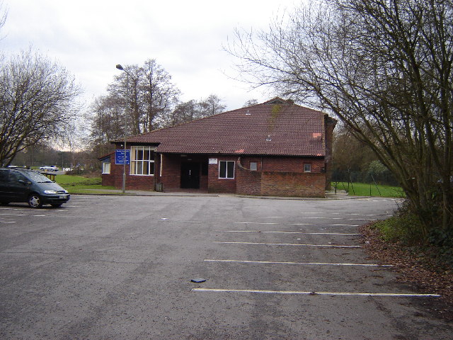
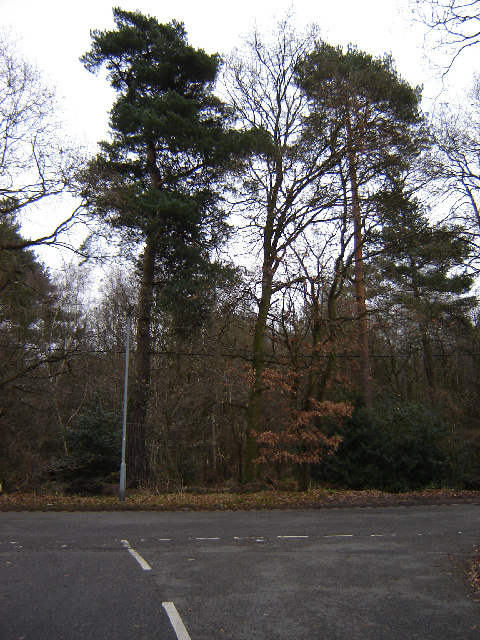
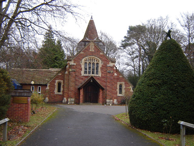
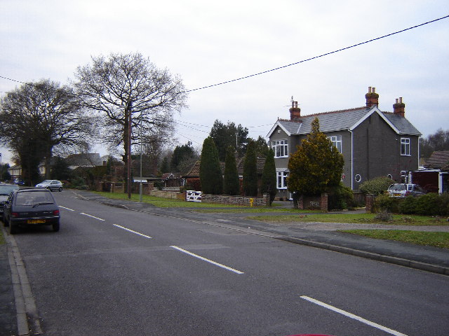
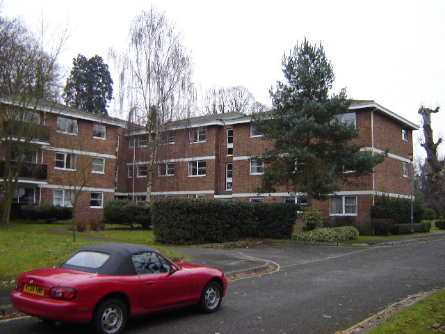
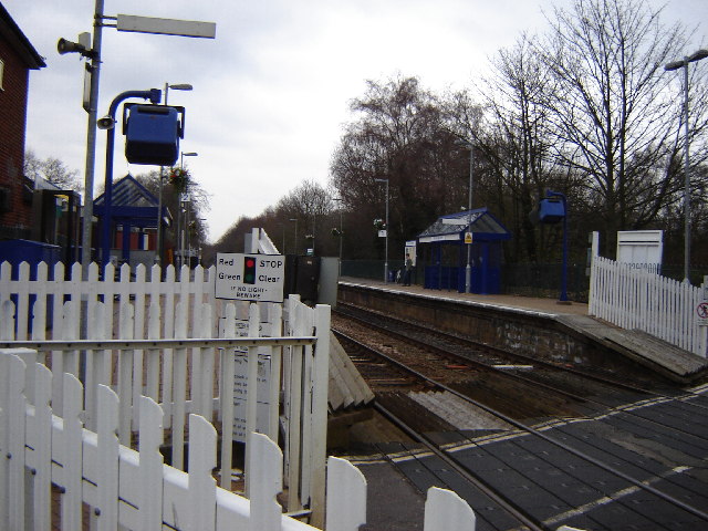
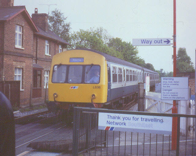
Frimley Green Images

Images are sourced within 2km of 51.302183/-0.727881 or Grid Reference SU8856. Thanks to Geograph Open Source API. All images are credited.

Navigating northwards up the Basher (23) Looking from Thornycroft Avenue into Huntspill Drive
Navigating northwards up the Basher (23)
Looking from Thornycroft Avenue into Huntspill Drive
Navigating northwards up the Basher (22) Looking south-east on the Old Guildford Road
Navigating northwards up the Basher (22)
Looking south-east on the Old Guildford Road
Frimley Green Canal Bridge This is the bridge at SU892564, taken looking north from the towpath.
Frimley Green Canal Bridge
This is the bridge at SU892564, taken looking north from the towpath.
Frimley Aqueduct When the London & Southampton railway was built, it cut through the line of the Basingstoke Canal, so this aqueduct was built to carry the canal. It had to be widened in the early 1900s when the line was widened from two to four tracks.
Frimley Aqueduct
When the London & Southampton railway was built, it cut through the line of the Basingstoke Canal, so this aqueduct was built to carry the canal. It had to be widened in the early 1900s when the line was widened from two to four tracks.
Narrow Boats at the Basingstoke Canal Visitors Centre at Mytchett, Frimley Quoting from <span class="nowrap"><a title="http://www.basingstoke-canal.org.uk/cancent.htm" rel="nofollow ugc noopener" href="http://www.basingstoke-canal.org.uk/cancent.htm">Link</a><img style="margin-left:2px;" alt="External link" title="External link - shift click to open in new window" src="https://s1.geograph.org.uk/img/external.png" width="10" height="10"/></span> "The Basingstoke Canal is declared by many to be Britain's most beautiful waterway. From the rolling North Hampshire hills to the dramatic flights of locks in Surrey, the tree-lined canal offers a variety of delights. The canal is a SSSI nature reserve, teeming with wildlife, while its 200-year old bridges and locks hold a surprise around every corner. Add in the colourful sight of traditional canal boats and you have a unique attraction all for free! The canal can be enjoyed from the 32-mile long towpath or by boat or canoe. The best place to start your visit, or to find out more is at the Basingstoke Canal Visitor Centre at Mytchett, right on the Hampshire and Surrey border."
Narrow Boats at the Basingstoke Canal Visitors Centre at Mytchett, Frimley
Quoting from LinkExternal link "The Basingstoke Canal is declared by many to be Britain's most beautiful waterway. From the rolling North Hampshire hills to the dramatic flights of locks in Surrey, the tree-lined canal offers a variety of delights. The canal is a SSSI nature reserve, teeming with wildlife, while its 200-year old bridges and locks hold a surprise around every corner. Add in the colourful sight of traditional canal boats and you have a unique attraction all for free! The canal can be enjoyed from the 32-mile long towpath or by boat or canoe. The best place to start your visit, or to find out more is at the Basingstoke Canal Visitor Centre at Mytchett, right on the Hampshire and Surrey border."
Frimley High Street This is still known as the village by all the office workers despite it being surrounded by housing and industry. It's quite useful for supplies and somewhere to go at lunchtime. It's got 4 charity shops.
Frimley High Street
This is still known as the village by all the office workers despite it being surrounded by housing and industry. It's quite useful for supplies and somewhere to go at lunchtime. It's got 4 charity shops.
Office blocks near Frimley The site of these blocks was owned by a large British Company. They moved into nearby premises and sold the land for development. Later they sold those premises and now rent a nice new block.
Office blocks near Frimley
The site of these blocks was owned by a large British Company. They moved into nearby premises and sold the land for development. Later they sold those premises and now rent a nice new block.
Community Centre Near Frimley This centre has a nice hall and a reasonable stage.
Community Centre Near Frimley
This centre has a nice hall and a reasonable stage.
Woods Next to St Catherines Road, Frimley Frimley is very developed but these woods are quite unspoilt despite having named 'roads' in them.
Woods Next to St Catherines Road, Frimley
Frimley is very developed but these woods are quite unspoilt despite having named 'roads' in them.
St Andrew's Church, Frimley Green A 'tin' church was built on this site in 1896 but was replaced with this church in 1912.
St Andrew's Church, Frimley Green
A 'tin' church was built on this site in 1896 but was replaced with this church in 1912.
Hamesmoor Road, Mytchett This is near the junction with Minehurst Rd. This road is quite busy sometimes as it connects to the A331 - the major trunk road in the Blackwater Valley.
Hamesmoor Road, Mytchett
This is near the junction with Minehurst Rd. This road is quite busy sometimes as it connects to the A331 - the major trunk road in the Blackwater Valley.
Flats in Farnborough This is Rapallo Close near Farnborough Centre.
Flats in Farnborough
This is Rapallo Close near Farnborough Centre.
Farnborough North Station This is on the line from Reading to Guildford
Farnborough North Station
This is on the line from Reading to Guildford
Station signs, Farnborough North A proliferation of Network SouthEast signs at Farnborough North as a southbound train leaves the station.
Station signs, Farnborough North
A proliferation of Network SouthEast signs at Farnborough North as a southbound train leaves the station.
Frimley High Street Frimley High Street has a variety of architectural styles, with a mix of shops, banks, food outlets, estate agents and a Post Office. Low sunshine and early daffodils can be seen on this January photograph.
Frimley High Street
Frimley High Street has a variety of architectural styles, with a mix of shops, banks, food outlets, estate agents and a Post Office. Low sunshine and early daffodils can be seen on this January photograph.
Frimley Railway Station The railway line through Frimley is a link between the Waterloo-Reading line at Ascot and the Waterloo-Alton line at Ash Vale. The station building was built in 1878 to serve this line. The line was later electrified in 1939.
Frimley Railway Station
The railway line through Frimley is a link between the Waterloo-Reading line at Ascot and the Waterloo-Alton line at Ash Vale. The station building was built in 1878 to serve this line. The line was later electrified in 1939.
Apex Drive, Frimley The Apex Drive development was designed by Lawrence Abbot and built by the Apex Society, founded in 1965, to provide 'affordable housing in Greater London and the Home Counties'. These unusual properties were built from grey brick and white mortar which contains sparkly quartz. Each block is a square, divided by a kind of flattened S-shaped wall which produces an interesting internal curved wall for each apartment, ending with a curved window where it meets the outside wall. The guttering is hidden within the fabric of the walls.
Apex Drive, Frimley
The Apex Drive development was designed by Lawrence Abbot and built by the Apex Society, founded in 1965, to provide 'affordable housing in Greater London and the Home Counties'. These unusual properties were built from grey brick and white mortar which contains sparkly quartz. Each block is a square, divided by a kind of flattened S-shaped wall which produces an interesting internal curved wall for each apartment, ending with a curved window where it meets the outside wall. The guttering is hidden within the fabric of the walls.
Camberley Sea Cadets headquarters This photograph was taken from the footpath alongside the main A325 road through Frimley. In the distance you can just see the buildings of Frimley Park Hospital.
Camberley Sea Cadets headquarters
This photograph was taken from the footpath alongside the main A325 road through Frimley. In the distance you can just see the buildings of Frimley Park Hospital.
Show me another place!

Frimley Green is located at Grid Ref: SU8856 (Lat: 51.302183, Lng: -0.727881)

Administrative County: Surrey

District: Surrey Heath

Police Authority: Surrey

What 3 Words

///dignitary.replaying.enrolling. Near Frimley, Surrey

Nearby Locations

Frimley Green

Related Wikis

Frimley Green

Frimley Green is a large village and ward of 580 acres (2.3 km2) in the Borough of Surrey Heath in Surrey, England, approximately 30 mi (48 km) southwest...

Lakeside Leisure Complex

The Lakeside Leisure Complex is a hotel, conferencing, entertainment and associated leisure complex in Frimley Green in west Surrey, England. It hosted...

Frimley Lodge Park Railway

The Frimley Lodge Miniature Railway is operated by the Frimley and Ascot Locomotive Club and is located within Frimley Lodge Park, Surrey. The railway...

Frimley Lodge Park

Frimley Lodge Park is a 24 hectares (59 acres) recreational site located between Frimley Green and Mytchett in Surrey, England. == Development == The park...

Nearby Amenities

Located within 500m of 51.302183,-0.727881
Crossing
Crossing: unmarked
Crossing Island: yes
Crossing Markings: no
Kerb: lowered
Tactile Paving: yes
Lat/Long: 51.3044143/-0.7289973
Mini Roundabout
Direction: clockwise
Lat/Long: 51.3042921/-0.7289229
Crossing
Crossing: uncontrolled
Crossing Island: yes
Kerb: lowered
Source: SAS
Tactile Paving: no
Lat/Long: 51.3024122/-0.7276405
Mini Roundabout
Direction: clockwise
Lat/Long: 51.3023266/-0.7275208
Barrier: kerb
Kerb: lowered
Tactile Paving: yes
Lat/Long: 51.3063182/-0.7297826
Crossing
Bicycle: yes
Crossing: unmarked
Crossing Markings: no
Kerb: lowered
Tactile Paving: yes
Lat/Long: 51.3062764/-0.7297727
Crossing
Crossing: unmarked
Crossing Markings: no
Kerb: lowered
Source: Surrey-Air_Survey
Lat/Long: 51.3038341/-0.7314353
Turning Circle
Source: Bing
Lat/Long: 51.3047128/-0.7259959
Mini Roundabout
Direction: clockwise
Lat/Long: 51.3019158/-0.7273361
Turning Circle
Source: Surrey-Air_Survey
Lat/Long: 51.3006477/-0.7245029
Lakeside International Hotel
Tourism: hotel
Website: https://www.lakesideinternationalhotel.com/
Lat/Long: 51.3038527/-0.721404
Hatches Crossing
Bicycle: dismount
Crossing Barrier: gate
Railway: crossing
Lat/Long: 51.3030551/-0.7337499
Crossing
Crossing: unmarked
Crossing Island: no
Crossing Markings: no
Kerb: lowered
Tactile Paving: yes
Lat/Long: 51.2999023/-0.7230083
Traffic Signals
Traffic Signals Direction: forward
Lat/Long: 51.2998459/-0.7226459
Traffic Signals
Traffic Signals Direction: backward
Lat/Long: 51.2997026/-0.7220671
Bus Stop
The Wheatsheaf
Bench: no
Bin: no
Bus: yes
Naptan AtcoCode: 40004403126A
Naptan Bearing: N
Naptan CommonName: The Wheatsheaf
Naptan Indicator: Opp
Naptan Landmark: The Wheatsheaf
Naptan NaptanCode: surgapda
Naptan PlusbusZoneRef: ALDRSHT
Naptan Street: Frimley Green Road
Naptan Verified: no
Public Transport: platform
Shelter: no
Source: naptan_import
Lat/Long: 51.3056957/-0.7296853
Bus Stop
The Wheatsheaf
Bench: yes
Bin: no
Bus: yes
Lit: yes
Naptan AtcoCode: 40004403126B
Naptan Bearing: S
Naptan CommonName: The Wheatsheaf
Naptan Indicator: O/s
Naptan Landmark: The Wheatsheaf
Naptan NaptanCode: surgapdg
Naptan PlusbusZoneRef: ALDRSHT
Naptan Street: Frimley Green Road
Naptan Verified: no
Public Transport: platform
Shelter: yes
Source: naptan_import
Tactile Paving: yes
Lat/Long: 51.3052256/-0.7294543
Bus Stop
Wharf Way
Bench: no
Bin: no
Bus: yes
Lit: yes
Naptan AtcoCode: 40004403132A
Naptan Bearing: NE
Naptan CommonName: Wharf Way
Naptan Indicator: Just after
Naptan Landmark: Wharf Way
Naptan NaptanCode: surgapgj
Naptan PlusbusZoneRef: ALDRSHT
Naptan Street: Wharf Road
Naptan Verified: no
Public Transport: platform
Shelter: no
Source: naptan_import
Tactile Paving: no
Lat/Long: 51.3037144/-0.7223347
Bus Stop
Wharf Way
Bench: no
Bin: no
Bus: yes
Lit: yes
Naptan AtcoCode: 40004403132B
Naptan Bearing: SW
Naptan CommonName: Wharf Way
Naptan Indicator: SW-bound
Naptan Landmark: Wharf Way
Naptan NaptanCode: surgapgm
Naptan PlusbusZoneRef: ALDRSHT
Naptan Street: Wharf Road
Naptan Verified: no
Public Transport: platform
Shelter: no
Source: naptan_import
Tactile Paving: no
Lat/Long: 51.3034035/-0.7224379
Bus Stop
Rose and Thistle
Bench: yes
Bin: yes
Bus: yes
Lit: yes
Naptan AtcoCode: 40004403133A
Naptan Bearing: NW
Naptan CommonName: Rose and Thistle
Naptan Indicator: Just after
Naptan Landmark: Frimley Green
Naptan NaptanCode: surgapgp
Naptan PlusbusZoneRef: ALDRSHT
Naptan Street: Frimley Green Road
Naptan Verified: no
Public Transport: platform
Shelter: yes
Source: naptan_import
Tactile Paving: no
Lat/Long: 51.3025557/-0.727904
Bus Stop
Rose and Thistle
Bench: no
Bin: no
Bus: yes
Lit: yes
Naptan AtcoCode: 40004403133B
Naptan Bearing: SW
Naptan CommonName: Rose and Thistle
Naptan Indicator: O/s
Naptan Landmark: Frimley Green
Naptan NaptanCode: surgapgt
Naptan PlusbusZoneRef: ALDRSHT
Naptan Street: Sturt Road
Naptan Verified: no
Public Transport: platform
Shelter: no
Source: naptan_import
Tactile Paving: no
Lat/Long: 51.3016875/-0.7274119
Bus Stop
Rose and Thistle
Bench: yes
Bin: yes
Bus: yes
Lit: no
Naptan AtcoCode: 40004403133C
Naptan Bearing: E
Naptan CommonName: Rose and Thistle
Naptan Indicator: Opp
Naptan Landmark: Frimley Green
Naptan NaptanCode: surgapgw
Naptan PlusbusZoneRef: ALDRSHT
Naptan Street: Wharf Road
Naptan Verified: no
Public Transport: platform
Shelter: yes
Source: naptan_import
Tactile Paving: no
Lat/Long: 51.302452/-0.7271927
Bus Stop
Sturt Road
Bench: yes
Bin: no
Bus: yes
Lit: yes
Naptan AtcoCode: 40004403134A
Naptan Bearing: N
Naptan CommonName: Sturt Road
Naptan Indicator: N-bound
Naptan Landmark: Sturt Road
Naptan NaptanCode: surgapja
Naptan PlusbusZoneRef: ALDRSHT
Naptan Street: Sturt Road
Naptan Verified: no
Public Transport: platform
Shelter: yes
Source: naptan_import
Tactile Paving: no
Lat/Long: 51.2989248/-0.7288968
Bus Stop
Sturt Road
Bench: no
Bin: no
Bus: yes
Lit: yes
Naptan AtcoCode: 40004403134B
Naptan Bearing: S
Naptan CommonName: Sturt Road
Naptan Indicator: S-bound
Naptan Landmark: Sturt Road
Naptan NaptanCode: surgapjd
Naptan PlusbusZoneRef: ALDRSHT
Naptan Street: Sturt Road
Naptan Verified: no
Public Transport: platform
Shelter: no
Source: naptan_import
Tactile Paving: no
Lat/Long: 51.2992114/-0.7287884
Crossing
Crossing: unmarked
Crossing Island: no
Crossing Markings: no
Kerb: lowered
Tactile Paving: no
Lat/Long: 51.3016858/-0.7276806
One Stop
Brand: One Stop
Brand Wikidata: Q65954217
Contact Website: https://www.onestop.co.uk/store?store=4244ef2e-b79e-4589-aa6a-5980e5574691
Opening Hours: Mo-Fr 06:00-22:00; Sa,Su 07:00-22:00
Operator: Tesco
Shop: convenience
Lat/Long: 51.3015797/-0.7279225
Pub
Rose and Thistle
Lat/Long: 51.3016392/-0.7272007
Fuel
Jet
Brand: JET
Brand Wikidata: Q568940
Compressed Air: yes
Mapillary: 601919591356829
Survey Date: 2023-03-04
Lat/Long: 51.3026172/-0.7277404
Restaurant
The Kings Head
Addr City: Frimley Green
Addr Country: GB
Addr Postcode: GU16 6NR
Addr Street: Guildford Road
Brand: Harvester
Brand Wikidata: Q5676915
Brand Wikipedia: en:Harvester (restaurant)
Contact Website: https://www.harvester.co.uk/restaurants/southeast/thekingsheadcamberley
Cuisine: american
Fhrs Id: 41026
Operator: Mitchells & Butlers
Wheelchair: limited
Lat/Long: 51.3001722/-0.7236732
Library
Frimley Green Library
Wikidata: Q55121888
Lat/Long: 51.3028043/-0.7251044
Pub
The Wheatsheaf
Lat/Long: 51.3053331/-0.7293036
Place Of Worship
Frimley Green Methodist Church
Denomination: methodist
Religion: christian
Lat/Long: 51.3019189/-0.7286738
Merityre Specialists
Addr City: Frimley Green
Addr Housenumber: 225
Addr Postcode: GU16 6LD
Addr Street: Frimley Green Road
Shop: car_repair
Website: http://www.merityre.co.uk/branch/car-tyres/frimley
Lat/Long: 51.3040548/-0.7282445
Noexit: yes
Lat/Long: 51.2998164/-0.7223404
Crossing
Crossing: unmarked
Crossing Island: no
Crossing Markings: no
Tactile Paving: no
Lat/Long: 51.3022889/-0.7287776
Toilets
Access: yes
Changing Table: yes
Fee: no
Toilets Disposal: flush
Toilets Wheelchair: yes
Wheelchair: yes
Lat/Long: 51.2982732/-0.7253152
Cafe
Frimley Lodge Park Café
Addr Housename: Frimley Lodge Prk
Addr Postcode: GU16 6HY
Addr Street: Frimley Green
Cuisine: cake
Fhrs Id: 859576
Internet Access: yes
Old Name: Pistachios in the Park
Operator: Churchill Catering
Outdoor Seating: yes
Phone: +44 1252838998
Wheelchair: yes
Lat/Long: 51.2981794/-0.7252562
Railway: switch
Lat/Long: 51.3015311/-0.7330725
Whoopee Motor Factors
Opening Hours: Mo-Fr 08:30-17:30; Sa 08:30-13:00
Shop: car_parts
Lat/Long: 51.3025202/-0.7266574
Dentist
Frimley Green Dental Centre
Healthcare: dentist
Opening Hours: Mo-Fr 08:00-12:00,13:00-17:00
Phone: +44 1252 835302
Lat/Long: 51.3025018/-0.7270169
Post Office
Frimley Green Post Office
Addr Country: GB
Addr Postcode: GU16 6LL
Brand: Post Office
Brand Wikidata: Q1783168
Contact Website: https://www.postoffice.co.uk/branch-finder/0969001/frimley-green
Ref Pol Id: 1155
Lat/Long: 51.3039037/-0.7289306
Restaurant
Cinnamon
Cuisine: indian
Lat/Long: 51.3030664/-0.7286048
Jarmans Bakery
Shop: bakery
Lat/Long: 51.3034672/-0.7286866
Grocer on the Green
Shop: greengrocer
Lat/Long: 51.3034169/-0.7286624
Hatches Crossing
Bicycle: dismount
Crossing Barrier: gate
Railway: crossing
Lat/Long: 51.3030681/-0.7337053
Crossing
Crossing: unmarked
Crossing Island: yes
Crossing Markings: no
Kerb: lowered
Source: Bing
Lat/Long: 51.3019899/-0.7271318
Frimley Green
Place: village
Wikidata: Q2528228
Lat/Long: 51.3027207/-0.7280198
Frimley Junction
Historic Place: locality
Lat/Long: 51.3029057/-0.7336876
Traffic Signals
Traffic Signals Direction: backward
Lat/Long: 51.3030684/-0.7282829
Traffic Signals
Traffic Signals Direction: forward
Lat/Long: 51.303129/-0.728323
Crossing
Button Operated: yes
Crossing: traffic_signals
Crossing Island: no
Crossing Ref: pelican
Kerb: lowered
Source: Bing
Tactile Paving: yes
Traffic Signals Sound: yes
Traffic Signals Vibration: yes
Lat/Long: 51.3030952/-0.7283026
Middle Farm
Historic Place: farm
Lat/Long: 51.3062618/-0.7301285
Crossing
Crossing: unmarked
Crossing Island: no
Crossing Markings: no
Kerb: lowered
Tactile Paving: no
Lat/Long: 51.3055465/-0.7295162
Barrier: kerb
Kerb: flush
Tactile Paving: no
Lat/Long: 51.3050471/-0.7295625
Crossing
Crossing: unmarked
Crossing Island: no
Crossing Markings: no
Kerb: lowered
Tactile Paving: no
Lat/Long: 51.3050018/-0.7295478
Barrier: kerb
Kerb: lowered
Tactile Paving: yes
Lat/Long: 51.3054982/-0.7295008
Barrier: kerb
Kerb: lowered
Tactile Paving: no
Lat/Long: 51.3056239/-0.729541
Crossing
Crossing: unmarked
Crossing Island: no
Crossing Markings: no
Kerb: lowered
Tactile Paving: no
Lat/Long: 51.3051537/-0.7294912
Barrier: kerb
Kerb: lowered
Tactile Paving: no
Lat/Long: 51.3051477/-0.7295598
Barrier: kerb
Kerb: lowered
Tactile Paving: yes
Lat/Long: 51.3042238/-0.7290931
Crossing
Crossing: unmarked
Crossing Island: yes
Crossing Markings: no
Kerb: lowered
Tactile Paving: yes
Lat/Long: 51.3041972/-0.7288882
Crossing
Bicycle: yes
Crossing: unmarked
Crossing Island: no
Crossing Markings: no
Kerb: lowered
Tactile Paving: yes
Lat/Long: 51.3043296/-0.7287662
Barrier: kerb
Kerb: lowered
Tactile Paving: yes
Lat/Long: 51.3041802/-0.7289724
Barrier: kerb
Kerb: lowered
Tactile Paving: yes
Lat/Long: 51.3043026/-0.729136
Barrier: kerb
Kerb: flush
Tactile Paving: yes
Lat/Long: 51.3043671/-0.7287833
Cafe
The Nook
Cuisine: coffee_shop
Source: seen on journey
Lat/Long: 51.3047101/-0.7289376
Barrier: kerb
Kerb: lowered
Tactile Paving: yes
Lat/Long: 51.3043864/-0.7290931
Barrier: kerb
Kerb: flush
Tactile Paving: yes
Lat/Long: 51.3042967/-0.7287511
Crossing
Crossing: unmarked
Crossing Markings: no
Kerb: lowered
Lat/Long: 51.3042633/-0.729116
Merityre Specialists
Addr City: Frimley Green
Addr Housenumber: 225
Addr Postcode: GU16 6LD
Addr Street: Frimley Green Road
Shop: car_parts
Website: http://www.merityre.co.uk/branch/car-tyres/frimley
Lat/Long: 51.3040477/-0.7286048
Hamiltons
Addr City: Frimley Green
Addr Housename: Heath House
Addr Housenumber: 227-229
Addr Postcode: GU16 6LD
Addr Street: Frimley Green Road
Office: estate_agent
Source: seen on journey
Website: https://www.hamiltonspropertyservices.co.uk/
Lat/Long: 51.3039286/-0.7285755
Crossing
Crossing: unmarked
Crossing Markings: no
Kerb: lowered
Lat/Long: 51.3039963/-0.7286741
Crossing
Crossing: unmarked
Crossing Island: no
Crossing Markings: no
Kerb: lowered
Tactile Paving: yes
Lat/Long: 51.3037109/-0.728609
Crossing
Crossing: unmarked
Crossing Markings: no
Kerb: lowered
Tactile Paving: no
Lat/Long: 51.3030026/-0.7283527
Crossing
Crossing: uncontrolled
Crossing Island: yes
Kerb: lowered
Source: SAS
Tactile Paving: no
Lat/Long: 51.3023635/-0.727404
Crossing
Crossing: unmarked
Crossing Markings: no
Kerb: lowered
Tactile Paving: no
Lat/Long: 51.30322/-0.72848
Crossing
Crossing: unmarked
Crossing Markings: no
Kerb: lowered
Lat/Long: 51.3029478/-0.7281169
Crossing
Crossing: unmarked
Crossing Island: no
Crossing Markings: no
Kerb: lowered
Tactile Paving: no
Lat/Long: 51.3028213/-0.7282128
Barrier: kerb
Kerb: lowered
Tactile Paving: no
Lat/Long: 51.3024321/-0.7274562
Doctors
Frimley Green Health Clinic
Healthcare: doctor
Lat/Long: 51.3027488/-0.7255405
Give Way
Source: Bing
Lat/Long: 51.3021943/-0.728922
Barrier: kerb
Kerb: lowered
Lat/Long: 51.3019762/-0.727179
Crossing
Crossing: unmarked
Crossing Markings: no
Kerb: lowered
Source: Surrey-Air_Survey
Lat/Long: 51.3045906/-0.7334577
Crossing
Crossing: unmarked
Crossing Island: no
Crossing Markings: no
Kerb: lowered
Tactile Paving: no
Lat/Long: 51.3022391/-0.7290703
Crossing
Crossing: unmarked
Crossing Markings: no
Kerb: lowered
Tactile Paving: no
Lat/Long: 51.2980726/-0.7284414
Crossing
Crossing: uncontrolled
Crossing Island: yes
Kerb: lowered
Source: Bing
Tactile Paving: no
Lat/Long: 51.3017949/-0.7274238
Give Way
Source: Bing
Lat/Long: 51.3019322/-0.7270711
Give Way
Source: Bing
Lat/Long: 51.3022623/-0.7287934
Bench
Backrest: yes
Lat/Long: 51.3022317/-0.7275977
Barrier: bollard
Lat/Long: 51.3064665/-0.7298476
Barrier: bollard
Lat/Long: 51.3063932/-0.7298154
Barrier: bollard
Bollard: removable
Lat/Long: 51.3044337/-0.7289308
Crossing
Bicycle: yes
Crossing: unmarked
Crossing Markings: no
Kerb: lowered
Lat/Long: 51.304519/-0.7289463
Barrier: kerb
Kerb: lowered
Tactile Paving: no
Lat/Long: 51.3020312/-0.7274156
Give Way
Source: Surrey-Air_Survey
Lat/Long: 51.3025133/-0.7257739
Give Way
Source: Surrey-Air_Survey
Lat/Long: 51.3024622/-0.7252342
Crossing
Crossing: uncontrolled
Crossing Island: yes
Kerb: lowered
Tactile Paving: no
Lat/Long: 51.3024846/-0.7255913
Hiking: yes
Information: guidepost
Source: GPS survey
Tourism: information
Lat/Long: 51.2997284/-0.7219823
Hiking: yes
Information: guidepost
Source: GPS survey
Tourism: information
Lat/Long: 51.2998869/-0.7230471
Frimley Lodge Parkrun
Board Type: map;information
Contact Website: https://www.parkrun.org.uk/frimleylodge
Direction: 165
Information: board
Operator: Surrey Heath Borough Council
Text: start location with map for frimleylodge parkrun
Tourism: information
Lat/Long: 51.2988156/-0.7248282
Community Centre
Frimley Green Youth Centre
Lat/Long: 51.3022565/-0.7254197
Social Centre
Frimley Green Working Mens Club
Check Date: 2023-04-10
Lat/Long: 51.3007498/-0.7285754
Addr Housename: Moss Bank
Lat/Long: 51.2996099/-0.7281655
Addr Housename: Stonebridge
Lat/Long: 51.2994656/-0.7283478
Addr Housename: Frimley Lodge
Lat/Long: 51.2996249/-0.7231926
Sturt Lane Junction
Railway: site
Lat/Long: 51.3000048/-0.7292353
Addr Housename: Vicarage
Lat/Long: 51.2992627/-0.7285651
Drinking Water
Drinking Water: yes
Man Made: water_tap
Lat/Long: 51.2980356/-0.725691
Bench: yes
Covered: no
Leisure: picnic_table
Lat/Long: 51.2982732/-0.72513
Bench: yes
Covered: no
Leisure: picnic_table
Lat/Long: 51.2982191/-0.725099
Bench: yes
Covered: no
Leisure: picnic_table
Lat/Long: 51.2981532/-0.7250577
Bench: yes
Covered: no
Leisure: picnic_table
Lat/Long: 51.29849/-0.7250123
Bench: yes
Covered: no
Leisure: picnic_table
Lat/Long: 51.2985145/-0.7248761
Frimley Junction
Railway: junction
Lat/Long: 51.3015346/-0.733033
Bench
Backrest: no
Material: wood
Lat/Long: 51.2987296/-0.7243545
Bench
Backrest: yes
Material: wood
Lat/Long: 51.2987369/-0.7243258
Bench
Backrest: yes
Inscription: FAITH WATERS 1903-2003 WHO LOVED THIS PARK
Material: wood
Lat/Long: 51.2987584/-0.7242305
Recycling
Recycling Shoes: yes
Recycling Type: container
Lat/Long: 51.3025217/-0.7263051
The Paint Shop
Opening Hours: Mo-Fr 07:00-17:00; Sa 09:00-13:00
Shop: paint
Lat/Long: 51.3025495/-0.7271922
Exclusive Beauty Clinic
Shop: beauty
Lat/Long: 51.3025501/-0.7274261
The Co-operative Funeralcare
Brand: The Co-operative Funeralcare
Brand Wikidata: Q7726521
Brand Wikipedia: en:Co-op Funeralcare
Shop: funeral_directors
Lat/Long: 51.3025418/-0.7273261
Brand: Premier
Brand Wikidata: Q7240340
Brand Wikipedia: en:Premier Stores
Shop: convenience
Lat/Long: 51.3023642/-0.7267869
Bicycle Parking
Bicycle Parking: stands
Capacity: 10
Covered: yes
Lat/Long: 51.2984312/-0.7254146
Crossing
Crossing: uncontrolled
Crossing Island: yes
Source: SAS
Lat/Long: 51.3020297/-0.7273567
Barrier: kerb
Kerb: lowered
Lat/Long: 51.3020281/-0.7272918
Post Box
Collection Times: Mo-Fr 09:00; Sa 07:00
Mapillary: 143112108070002
Post Box Mounting: brick_wall
Post Box Type: wall
Ref: GU16 187D
Royal Cypher: GVIR
Royal Cypher Wikidata: Q33102169
Survey Date: 2021-10-29
Lat/Long: 51.3027045/-0.7230432
Restaurant
Silver Sea
Lat/Long: 51.3020002/-0.7269052
Fast Food
Domino's
Brand: Domino's
Brand Wikidata: Q839466
Cuisine: pizza
Takeaway: yes
Lat/Long: 51.3019545/-0.7268561
Barrier: kerb
Kerb: lowered
Tactile Paving: no
Lat/Long: 51.3022717/-0.7287101
Barrier: kerb
Kerb: lowered
Tactile Paving: no
Lat/Long: 51.3023011/-0.7288257
Barrier: kerb
Kerb: lowered
Tactile Paving: yes
Lat/Long: 51.3025212/-0.7285777
Crossing
Crossing: unmarked
Crossing Markings: no
Kerb: lowered
Tactile Paving: yes
Lat/Long: 51.3025357/-0.7285638
Barrier: kerb
Kerb: lowered
Tactile Paving: yes
Lat/Long: 51.3025617/-0.7285389
Crossing
Crossing: unmarked
Crossing Markings: no
Kerb: no
Tactile Paving: no
Lat/Long: 51.3026718/-0.7284307
Barrier: kerb
Kerb: lowered
Tactile Paving: no
Lat/Long: 51.3022968/-0.7288087
Crossing
Crossing: unmarked
Crossing Island: no
Crossing Markings: no
Tactile Paving: no
Lat/Long: 51.3022229/-0.7287323
Pharmacy
Boots
Addr City: Frimley Green
Addr Housenumber: 261
Addr Postcode: GU16 6LD
Addr Street: Frimley Green Road
Brand: Boots
Brand Wikidata: Q6123139
Dispensing: yes
Drive Through: no
Healthcare: pharmacy
Source: Mapillary
Website: https://www.boots.com/stores/6077-frimley-green-road-gu16-6ld
Lat/Long: 51.3025838/-0.7275571
Luff & Wilkin
Office: estate_agent
Source: Mapillary
Lat/Long: 51.3022835/-0.7273327
Bench
Backrest: yes
Lat/Long: 51.2985172/-0.7256358
Hatches Level Crossing
Railway: level_crossing
Lat/Long: 51.3030261/-0.7336805
Hatches Level Crossing
Railway: level_crossing
Lat/Long: 51.3030178/-0.7337274
The data included in this document is from www.openstreetmap.org. The data is made available under ODbL.

Have you been to Frimley Green?

Leave your review of Frimley Green below (or comments, questions and feedback).