Well Wood

Wood, Forest in Kent Canterbury

England

Well Wood

Lane heading away from Woolage Green
Lane heading away from Woolage Green Credit: Robin Webster

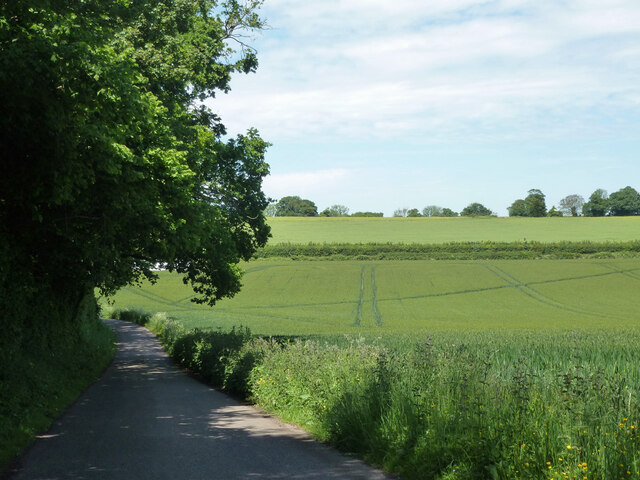
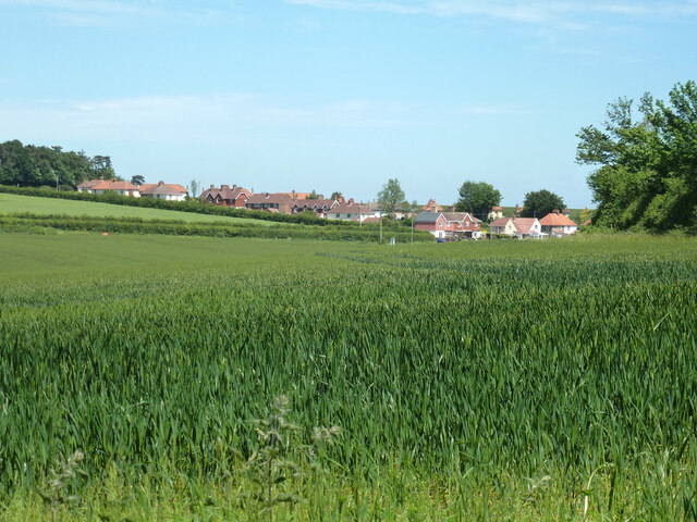
Well Wood is a picturesque woodland located in the county of Kent, England. Situated near the village of Well, this woodland area covers an approximate area of 50 acres. Known for its natural beauty and diverse flora and fauna, Well Wood is a popular destination for nature enthusiasts, hikers, and birdwatchers.

The woodland is characterized by its dense canopy of tall, mature trees, including oak, beech, and ash. These towering trees provide a cool and shaded environment, making it an ideal spot for a tranquil walk or picnic on a warm summer's day. The forest floor is covered in a carpet of wildflowers, ferns, and mosses, adding to the enchanting atmosphere.

Well Wood is home to a variety of wildlife, including deer, foxes, rabbits, and numerous bird species. Birdwatchers can spot woodpeckers, owls, and various songbirds, making it a haven for birdwatching enthusiasts. The woodland's diverse ecosystem supports a range of insects, including butterflies and beetles.

There are several footpaths and trails that wind their way through Well Wood, offering visitors the opportunity to explore and discover the natural wonders it has to offer. These well-maintained paths provide easy access for walkers of all abilities, ensuring that everyone can enjoy the beauty of the woodland.

Overall, Well Wood is a treasured natural gem in the heart of Kent. Its tranquil atmosphere, stunning scenery, and abundant wildlife make it a must-visit destination for nature lovers and those seeking a peaceful retreat in the countryside.

If you have any feedback on the listing, please let us know in the comments section below.
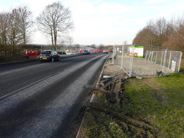
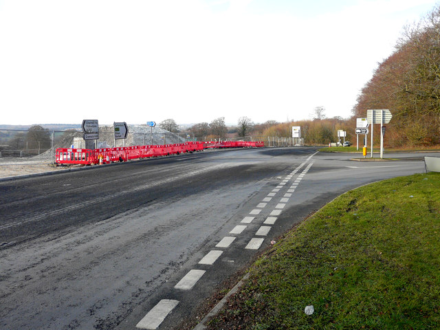
Well Wood Images

Images are sourced within 2km of 51.214049/1.1886986 or Grid Reference TR2250. Thanks to Geograph Open Source API. All images are credited.

Lane heading away from Woolage Green
View towards Woolage Village
Road closure, Woolage Green The road some way along was dug up for gas purposes.
Road closure, Woolage Green
The road some way along was dug up for gas purposes.
The Two Sawyers, Woolage Green
Leighgate Bottom
Leighgate Bottom
Byway to Woolage Green
Nethersole Rd
Nethersole Rd
Leighgate Bottom
Leighgate Bottom
Nethersole Rd
Nethersole Rd
North Downs Way A long distance path in southern England. It runs from Farnham to Dover, past Godalming, Guildford, Dorking, Merstham, Otford and Rochester, along the Surrey Hills Area of Outstanding Natural Beauty (AONB) and Kent Downs AONB. East of Boughton Lees, the path splits in two, the northern section running via Canterbury and the southern via Wye. The two sections of the path reunite at Dover. The northern route is 211 km long, and the southern route 201 km, the total length of the North Downs Way being 246 km.
The pathway is mixed in that it varies throughout its length from footpath status to bridleway, byway and road. Some 19% of the Way follows roads, though 75% of those are minor lanes. It is marked by an acorn. See <a href="https://www.geograph.org.uk/photo/1165027">TQ6561 : Crossover in Long Distance pathways</a>.
See <span class="nowrap"><a title="http://www.nationaltrail.co.uk/Northdowns/" rel="nofollow ugc noopener" href="http://www.nationaltrail.co.uk/Northdowns/">Link</a><img style="margin-left:2px;" alt="External link" title="External link - shift click to open in new window" src="https://s1.geograph.org.uk/img/external.png" width="10" height="10"/></span> for more details and an interactive map of the trail.
North Downs Way
A long distance path in southern England. It runs from Farnham to Dover, past Godalming, Guildford, Dorking, Merstham, Otford and Rochester, along the Surrey Hills Area of Outstanding Natural Beauty (AONB) and Kent Downs AONB. East of Boughton Lees, the path splits in two, the northern section running via Canterbury and the southern via Wye. The two sections of the path reunite at Dover. The northern route is 211 km long, and the southern route 201 km, the total length of the North Downs Way being 246 km. The pathway is mixed in that it varies throughout its length from footpath status to bridleway, byway and road. Some 19% of the Way follows roads, though 75% of those are minor lanes. It is marked by an acorn. See TQ6561 : Crossover in Long Distance pathways. See LinkExternal link for more details and an interactive map of the trail.
Farmland, Leightongate Bottom
North Downs Way A long distance path in southern England. It runs from Farnham to Dover, past Godalming, Guildford, Dorking, Merstham, Otford and Rochester, along the Surrey Hills Area of Outstanding Natural Beauty (AONB) and Kent Downs AONB. East of Boughton Lees, the path splits in two, the northern section running via Canterbury and the southern via Wye. The two sections of the path reunite at Dover. The northern route is 211 km long, and the southern route 201 km, the total length of the North Downs Way being 246 km.
The pathway is mixed in that it varies throughout its length from footpath status to bridleway, byway and road. Some 19% of the Way follows roads, though 75% of those are minor lanes. It is marked by an acorn. See <a href="https://www.geograph.org.uk/photo/1165027">TQ6561 : Crossover in Long Distance pathways</a>.
See <span class="nowrap"><a title="http://www.nationaltrail.co.uk/Northdowns/" rel="nofollow ugc noopener" href="http://www.nationaltrail.co.uk/Northdowns/">Link</a><img style="margin-left:2px;" alt="External link" title="External link - shift click to open in new window" src="https://s1.geograph.org.uk/img/external.png" width="10" height="10"/></span> for more details and an interactive map of the trail.
North Downs Way
A long distance path in southern England. It runs from Farnham to Dover, past Godalming, Guildford, Dorking, Merstham, Otford and Rochester, along the Surrey Hills Area of Outstanding Natural Beauty (AONB) and Kent Downs AONB. East of Boughton Lees, the path splits in two, the northern section running via Canterbury and the southern via Wye. The two sections of the path reunite at Dover. The northern route is 211 km long, and the southern route 201 km, the total length of the North Downs Way being 246 km. The pathway is mixed in that it varies throughout its length from footpath status to bridleway, byway and road. Some 19% of the Way follows roads, though 75% of those are minor lanes. It is marked by an acorn. See TQ6561 : Crossover in Long Distance pathways. See LinkExternal link for more details and an interactive map of the trail.
A260 turning, A2 The A2 runs 72 miles from Borough <a href="https://www.geograph.org.uk/photo/5739288">TQ3279 : Great Dover St</a> in London to Dover, through Kent, formerly known as the Dover Road or Great Dover Road. It follows roughly the course of the Roman Watling Street and historically it has always been an important road because it connects London with Canterbury and the port of Dover. In the 18th and 19th century it was turnpiked and given its present designation in the 1920s.
A260 turning, A2
The A2 runs 72 miles from Borough TQ3279 : Great Dover St in London to Dover, through Kent, formerly known as the Dover Road or Great Dover Road. It follows roughly the course of the Roman Watling Street and historically it has always been an important road because it connects London with Canterbury and the port of Dover. In the 18th and 19th century it was turnpiked and given its present designation in the 1920s.
A2 The A2 runs 72 miles from Borough <a href="https://www.geograph.org.uk/photo/5739288">TQ3279 : Great Dover St</a> in London to Dover, through Kent, formerly known as the Dover Road or Great Dover Road. It follows roughly the course of the Roman Watling Street and historically it has always been an important road because it connects London with Canterbury and the port of Dover. In the 18th and 19th century it was turnpiked and given its present designation in the 1920s.
A2
The A2 runs 72 miles from Borough TQ3279 : Great Dover St in London to Dover, through Kent, formerly known as the Dover Road or Great Dover Road. It follows roughly the course of the Roman Watling Street and historically it has always been an important road because it connects London with Canterbury and the port of Dover. In the 18th and 19th century it was turnpiked and given its present designation in the 1920s.
Roadworks, A260 They were due to start on 7 January 2019 and to last for three weeks.
Roadworks, A260
They were due to start on 7 January 2019 and to last for three weeks.
Roadworks, A260 They were due to start on 7 January 2019 and to last for three weeks. 

This image of the <a href="https://www.geograph.org.uk/photo/6021313">TR2149 : Roadworks, A260</a> is just before you reach the junction, where the B6646 takes you to Wingham.
Roadworks, A260
They were due to start on 7 January 2019 and to last for three weeks. This image of the TR2149 : Roadworks, A260 is just before you reach the junction, where the B6646 takes you to Wingham.
Show me another place!

Well Wood is located at Grid Ref: TR2250 (Lat: 51.214049, Lng: 1.1886986)

Administrative County: Kent

District: Canterbury

Police Authority: Kent

What 3 Words

///mealtime.calm.shatters. Near Aylesham, Kent

Nearby Locations

Womenswold Well Wood

Related Wikis

Womenswold

Womenswold is a village and civil parish centred 7 miles (11 km) south-east of Canterbury, Kent, England, 1 mile to the east of the A2 road. The parish...

Woolage Village

Woolage Village is a former mining village situated midway between Canterbury and Dover in the English county of Kent. It is 1 mile (1.6 km) to the east...

Black Mill, Barham

Black Mill or Barham Downs Mill was a smock mill at Barham, Kent, England which was accidentally burnt down in 1970 while under restoration. == History... ==

Snowdown

Snowdown is a hamlet near Dover in Kent, England. It was the location of one of the four chief collieries of the Kent coalfield, which closed in 1987....

Aylesham

Aylesham is a village and civil parish in the Dover district of Kent, England. The village is 6.5 miles (10.5 km) southeast of the cathedral city of Canterbury...

Snowdown railway station

Snowdown railway station is on the Dover branch of the Chatham Main Line in England, and serves the hamlet of Snowdown, Kent. It is 69 miles 60 chains...
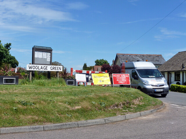
Woolage Green

Woolage Green is a small hamlet, situated about 7 miles (11 km) south-east of Canterbury, Kent, England, 1 mile to the east of the A2 road. Together with...

Ileden and Oxenden Woods

Ileden and Oxenden Woods is an 86.4-hectare (213-acre) biological Site of Special Scientific Interest (SSSI) south-east of Canterbury in Kent. It is in...

Nearby Amenities

Located within 500m of 51.214049,1.1886986
Womenswold
Is In: Kent, England, UK
Place: hamlet
Source: survey
Wikidata: Q3067216
Wikipedia: en:Womenswold
Lat/Long: 51.2107632/1.1880704
Post Box
Collection Times: Mo-Fr 09:00; Sa 07:00
Operator: Royal Mail
Operator Wikidata: Q638098
Post Box Mounting: building
Post Box Type: wall
Postal Code: CT4
Ref: CT4 183
Royal Cypher: GR
Royal Cypher Wikidata: Q33102273
Source: survey
Lat/Long: 51.2108365/1.1879403
Bus Stop
Church Lane
Flag: no
Naptan AtcoCode: 2400A073260A
Naptan Bearing: N
Naptan BusStopType: CUS
Naptan CommonName: Church Lane
Naptan Indicator: adj
Naptan Landmark: Nr Ch
Naptan NaptanCode: kntgjajw
Naptan Street: The Street
Naptan Verified: no
Public Transport: platform
Source: naptan_import
Lat/Long: 51.2102664/1.187059
North Downs Way crossroads
Name En: North Downs Way crossroads
Tourism: attraction
Lat/Long: 51.2112459/1.1884745
Defibrillator
Access: yes
Defibrillator Location: Located on the left side of the outside wall
Emergency: defibrillator
Indoor: no
Lat/Long: 51.2101368/1.1874269
The data included in this document is from www.openstreetmap.org. The data is made available under ODbL.

Have you been to Well Wood?

Leave your review of Well Wood below (or comments, questions and feedback).