Womenswold
Settlement in Kent Canterbury
England
Womenswold
The requested URL returned error: 429 Too Many Requests
If you have any feedback on the listing, please let us know in the comments section below.
Womenswold Images
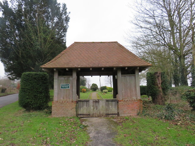
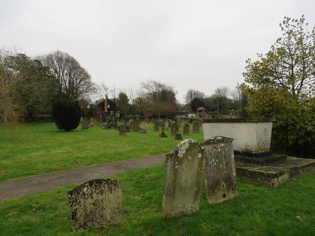
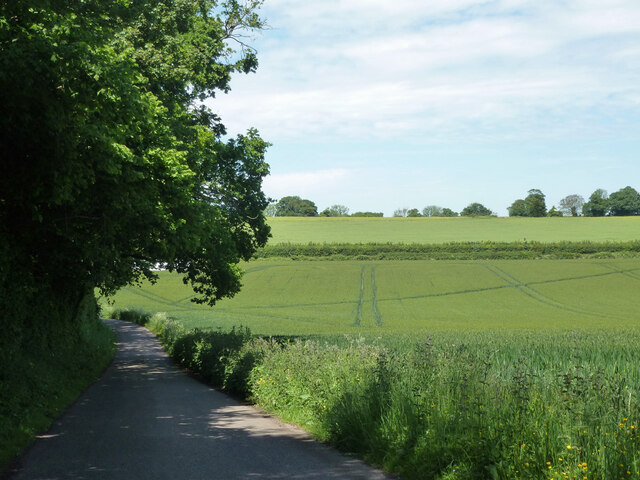
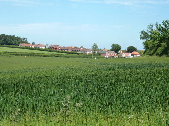
Images are sourced within 2km of 51.210679/1.1876064 or Grid Reference TR2250. Thanks to Geograph Open Source API. All images are credited.
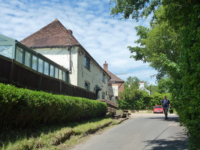


![The Street near St John the Baptist's Church in Barham Looking north-westward.
[The name of the road is apparently &#039;The St&#039;. I have checked both Google maps and a local business address and this seems to confirm this. Anyone living locally know better?]](https://s1.geograph.org.uk/geophotos/04/92/90/4929033_ec18cd58.jpg)
Womenswold is located at Grid Ref: TR2250 (Lat: 51.210679, Lng: 1.1876064)
Administrative County: Kent
District: Canterbury
Police Authority: Kent
What 3 Words
///grass.bands.pursue. Near Aylesham, Kent
Nearby Locations
Related Wikis

Womenswold
Womenswold is a village and civil parish centred 7 miles (11 km) south-east of Canterbury, Kent, England, 1 mile to the east of the A2 road. The parish...

Woolage Village
Woolage Village is a former mining village situated midway between Canterbury and Dover in the English county of Kent. It is 1 mile (1.6 km) to the east...
Black Mill, Barham
Black Mill or Barham Downs Mill was a smock mill at Barham, Kent, England which was accidentally burnt down in 1970 while under restoration. == History... ==

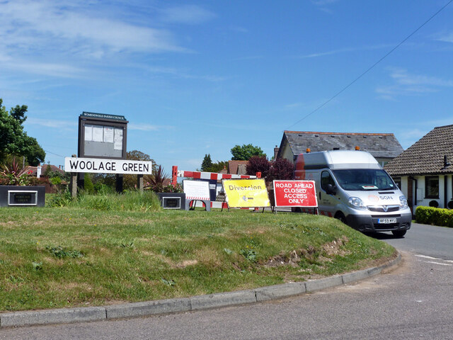
Woolage Green
Woolage Green is a small hamlet, situated about 7 miles (11 km) south-east of Canterbury, Kent, England, 1 mile to the east of the A2 road. Together with...
Nearby Amenities
Located within 500m of 51.210679,1.1876064Have you been to Womenswold?
Leave your review of Womenswold below (or comments, questions and feedback).