Wombwell
Settlement in Yorkshire
England
Wombwell

The requested URL returned error: 429 Too Many Requests
If you have any feedback on the listing, please let us know in the comments section below.
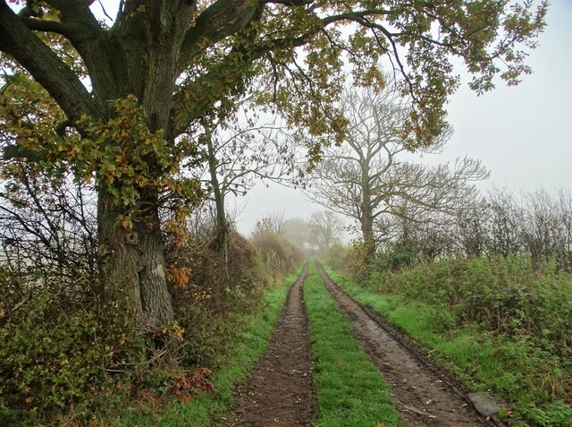
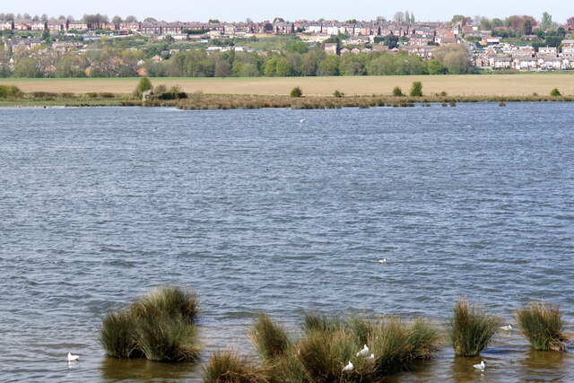
Wombwell Images
Images are sourced within 2km of 53.527568/-1.404098 or Grid Reference SE3903. Thanks to Geograph Open Source API. All images are credited.


Wombwell is located at Grid Ref: SE3903 (Lat: 53.527568, Lng: -1.404098)
Division: West Riding
Unitary Authority: Barnsley
Police Authority: South Yorkshire
What 3 Words
///banana.grapevine.seaside. Near Wombwell, South Yorkshire
Nearby Locations
Related Wikis
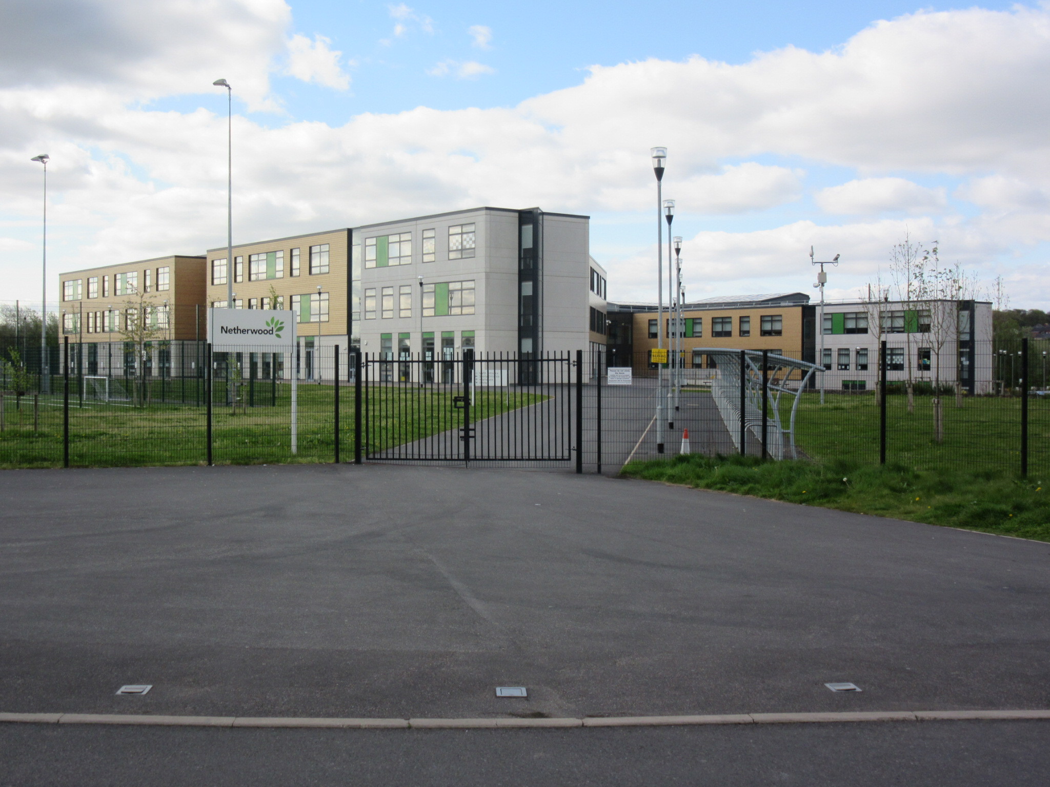
Netherwood Academy
Netherwood Academy (formerly Netherwood Advanced Learning Centre) is a secondary school located next to Netherwood Country Park, between Wombwell and Darfield...

Wombwell Town F.C.
Wombwell Town Football Club is a football club based in Wombwell, Barnsley, South Yorkshire, England. They are currently members of the Northern Counties...

Old Town Hall, Wombwell
The Old Town Hall is a former municipal building in the High Street, Wombwell, South Yorkshire, England. The structure, which is currently used as a public...

Wombwell Central railway station
Wombwell Central railway station was a railway station situated on the South Yorkshire Railway company's line between Mexborough and Barnsley. The station...
Nearby Amenities
Located within 500m of 53.527568,-1.404098Have you been to Wombwell?
Leave your review of Wombwell below (or comments, questions and feedback).