Porter's Covert

Wood, Forest in Suffolk East Suffolk

England

Porter's Covert

Crop field beside woodland
Crop field beside woodland Credit: JThomas

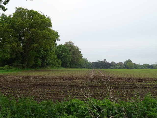
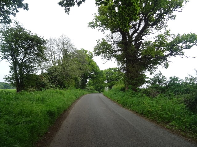
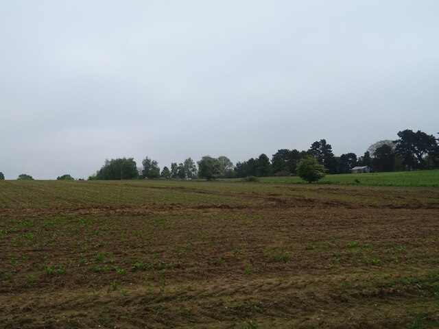
Porter's Covert, Suffolk (Wood, Forest) is a picturesque woodland area located in Suffolk, England. Covering an area of approximately 100 acres, this enchanting forest offers a tranquil escape from the hustle and bustle of city life.

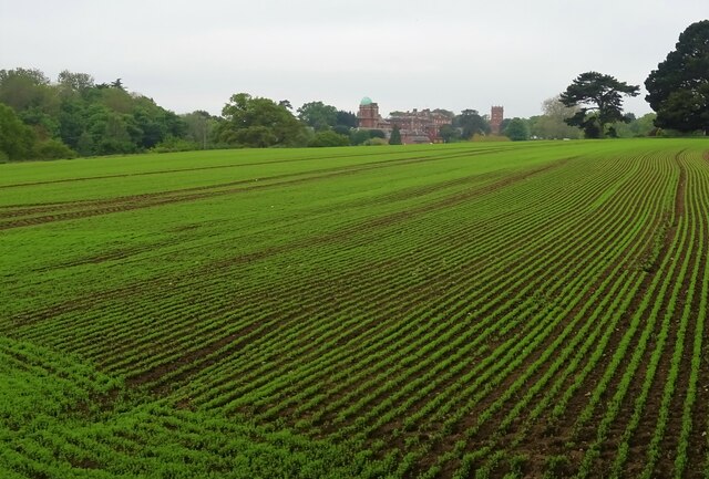
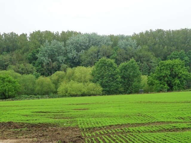
The woodland is characterized by a diverse range of trees, including oak, beech, and birch, which create a stunning canopy that changes with the seasons. The forest floor is covered in a thick carpet of moss, ferns, and wildflowers, adding to the natural beauty of the area. The dense foliage provides a habitat for a variety of wildlife, including deer, foxes, and a wide array of bird species, making it a popular spot for nature lovers and birdwatchers.

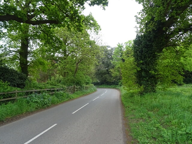
Porter's Covert offers several walking trails, allowing visitors to explore the forest at their own pace. The trails wind through the woodland, offering glimpses of babbling brooks, hidden ponds, and ancient trees. There are also designated picnic areas for visitors to enjoy a leisurely lunch amidst the peaceful surroundings.

The woodland is managed by the local forestry commission, ensuring the conservation and preservation of this natural treasure. Educational programs and guided tours are offered to visitors, providing insights into the flora and fauna of the area, as well as the history and importance of sustainable forestry.

Overall, Porter's Covert, Suffolk (Wood, Forest) is a hidden gem in the Suffolk countryside. Its natural beauty, diverse wildlife, and well-maintained trails make it a perfect destination for outdoor enthusiasts and nature lovers alike.

If you have any feedback on the listing, please let us know in the comments section below.

Porter's Covert Images

Images are sourced within 2km of 52.024957/1.2465063 or Grid Reference TM2241. Thanks to Geograph Open Source API. All images are credited.

Crop field beside woodland
Bend in National Cycle Route 51 Ipswich Road towards Nacton.
Bend in National Cycle Route 51
Ipswich Road towards Nacton.
War Memorial, Nacton
Crop field off Levington Road Towards Orwell Park House.
Crop field off Levington Road
Towards Orwell Park House.
Crop field towards Broke Hill Woods South of Levington Road.
Crop field towards Broke Hill Woods
South of Levington Road.
Levington Road National Cycle Route 51
Levington Road
National Cycle Route 51
Fields near Levington
Nacton church
Nacton church
Fly tip notice beside Ipswich Road, Nacton
Entering Nacton on Orwell Road <span class="nowrap"><a title="https://en.wikipedia.org/wiki/Nacton" rel="nofollow ugc noopener" href="https://en.wikipedia.org/wiki/Nacton">Link</a><img style="margin-left:2px;" alt="External link" title="External link - shift click to open in new window" src="https://s1.geograph.org.uk/img/external.png" width="10" height="10"/></span>
Entering Nacton on Orwell Road
Nacton Village Name sign on Orwell Road <span class="nowrap"><a title="https://en.wikipedia.org/wiki/Nacton" rel="nofollow ugc noopener" href="https://en.wikipedia.org/wiki/Nacton">Link</a><img style="margin-left:2px;" alt="External link" title="External link - shift click to open in new window" src="https://s1.geograph.org.uk/img/external.png" width="10" height="10"/></span>
Nacton Village Name sign on Orwell Road
Orwell Road & Orwell Road Railway Bridge Bridge No.1093 FEL
Orwell Road & Orwell Road Railway Bridge
Bridge No.1093 FEL
Orwell Road Railway Bridge sign On Orwell Road
Bridge No.1093 FEL
Orwell Road Railway Bridge sign
On Orwell Road Bridge No.1093 FEL
Entrance to the Suffolk Show From the town centre direction. See <span class="nowrap"><a title="https://www.youtube.com/watch?v=pYYUbZyzsmw" rel="nofollow ugc noopener" href="https://www.youtube.com/watch?v=pYYUbZyzsmw">Link</a><img style="margin-left:2px;" alt="External link" title="External link - shift click to open in new window" src="https://s1.geograph.org.uk/img/external.png" width="10" height="10"/></span> for a video.
Entrance to the Suffolk Show
From the town centre direction. See LinkExternal link for a video.
Trinity Park roundabout sign The A1156 is basically, the former A45 in Ipswich, it runs 8 miles through the city. 
<span class="nowrap"><a title="http://www.sabre-roads.org.uk/wiki/index.php?title=A1156" rel="nofollow ugc noopener" href="http://www.sabre-roads.org.uk/wiki/index.php?title=A1156">Link</a><img style="margin-left:2px;" alt="External link" title="External link - shift click to open in new window" src="https://s1.geograph.org.uk/img/external.png" width="10" height="10"/></span>
Trinity Park roundabout sign
The A1156 is basically, the former A45 in Ipswich, it runs 8 miles through the city. LinkExternal link
Cow at Suffolk Show Suffolk Show is a show north of the A1156, mainly in Purdis Farm parish, just outside Ipswich, in Suffolk.
Cow at Suffolk Show
Suffolk Show is a show north of the A1156, mainly in Purdis Farm parish, just outside Ipswich, in Suffolk.
Hanging basket, Suffolk Show Suffolk Show is a show north of the A1156, mainly in Purdis Farm parish, just outside Ipswich, in Suffolk.
Hanging basket, Suffolk Show
Suffolk Show is a show north of the A1156, mainly in Purdis Farm parish, just outside Ipswich, in Suffolk.
Green glass stone at the Suffolk Show With some variegated grass.
Green glass stone at the Suffolk Show
With some variegated grass.
Show me another place!

Porter's Covert is located at Grid Ref: TM2241 (Lat: 52.024957, Lng: 1.2465063)

Administrative County: Suffolk

District: East Suffolk

Police Authority: Suffolk

What 3 Words

///afflicted.kneeled.drift. Near Kesgrave, Suffolk

Related Wikis

Orwell railway station

Orwell railway station was on the Felixstowe Branch Line near the small village of Nacton, Suffolk, England. It was situated between Derby Road and Trimley...

Amberfield School

Amberfield School was a small private school in Nacton, England, coeducational up to the age of 7 years, and for girls up to the age of 16 years, which...
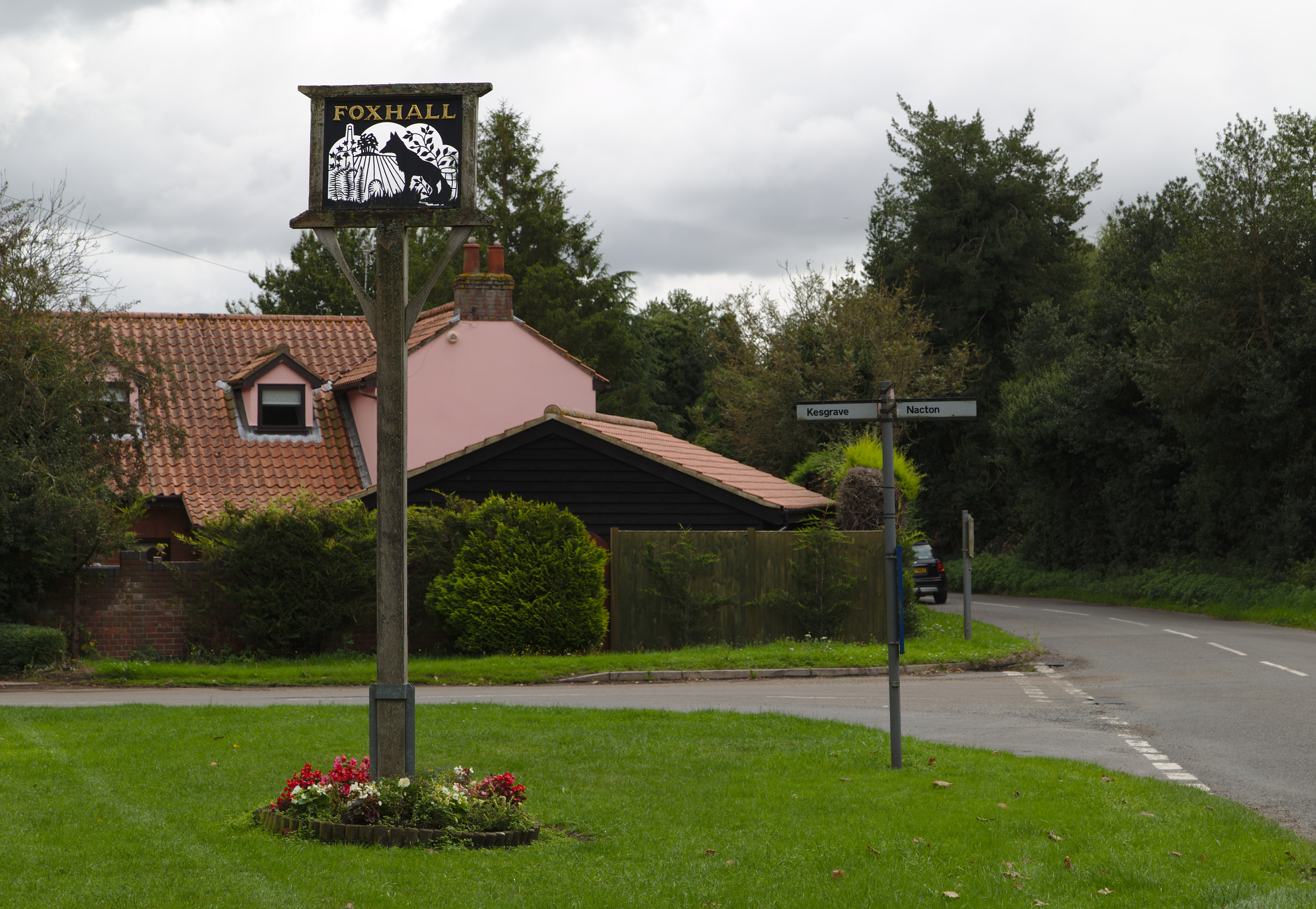
Foxhall, Suffolk

Foxhall is a civil parish in the East Suffolk district of Suffolk, England a few miles east of Ipswich. It is adjacent to the parishes of Kesgrave to the...
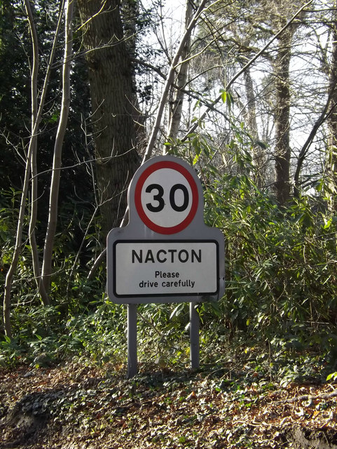
Nacton

Nacton is a village and civil parish in the East Suffolk district of Suffolk, England. The parish is bounded by the neighbouring parishes of Levington...

Nacton Meadows

Nacton Meadows is a 4.5-hectare (11-acre) biological Site of Special Scientific Interest north-west of Levington in Suffolk. It is in the Suffolk Coast...

Bucklesham

Bucklesham is a village and civil parish in the East Suffolk district of Suffolk, England, a few miles east of Ipswich. == History == Bucklesham is derived...

Orwell Park School

Orwell Park School is a day and boarding preparatory school for boys and girls in the village of Nacton on the edge of Ipswich in the English county of...

Broke Hall

Broke Hall is an English country house at Nacton, near Ipswich, Suffolk. It overlooks the River Orwell, opposite Pin Mill. The gardens were landscaped...

Nearby Amenities

Located within 500m of 52.024957,1.2465063
Motorway Junction
Seven Hills Interchange
Ref: 58
Lat/Long: 52.0279582/1.2477225
Bus Stop
The Street
Local Ref: adj
Naptan AtcoCode: 390060863
Naptan Bearing: W
Naptan CommonName: The Street
Naptan Landmark: The Street
Naptan NaptanCode: sufgtwgp
Naptan Street: Felixstowe Road
Public Transport: platform
Shelter: yes
Source: naptan_import;survey
Lat/Long: 52.0248281/1.2414846
Bus Stop
The Street
Local Ref: opp
Naptan AtcoCode: 390060864
Naptan Bearing: E
Naptan BusStopType: CUS
Naptan CommonName: The Street
Naptan Landmark: The Street
Naptan NaptanCode: sufgtwgt
Naptan Street: Felixstowe Road
Public Transport: platform
Source: naptan_import;survey
Lat/Long: 52.0246715/1.2425217
Orwell
Disused Railway: station
Railway: site
Wikidata: Q7105287
Wikipedia: en:Orwell railway station
Lat/Long: 52.0233236/1.2416627
Fixme: incomplete
Lat/Long: 52.0252969/1.2413046
Waste Basket
Lat/Long: 52.0248425/1.2414492
Man Made: mast
Ref GB Uprn: 10008619344
Tower Type: communication
Lat/Long: 52.026434/1.2474364
Crossing
Lat/Long: 52.0247536/1.241844
The data included in this document is from www.openstreetmap.org. The data is made available under ODbL.

Have you been to Porter's Covert?

Leave your review of Porter's Covert below (or comments, questions and feedback).