Aylesham Wood
Wood, Forest in Kent Dover
England
Aylesham Wood
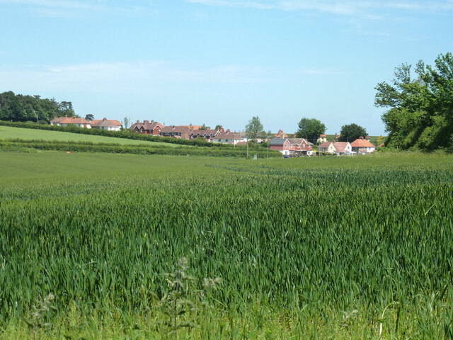
Aylesham Wood is a picturesque woodland located in the county of Kent, England. Covering an area of approximately 80 acres, it is a designated Site of Special Scientific Interest (SSSI) and a Local Nature Reserve. The woodland is situated near the village of Aylesham, nestled within the North Downs Area of Outstanding Natural Beauty.
The wood is predominantly composed of broadleaf trees, with a mixture of oak, ash, beech, and hazel dominating the landscape. These trees provide a rich and diverse habitat for a variety of plant and animal species. Bluebells carpet the forest floor in spring, creating a stunning display of vibrant colors, while the canopy provides a cool and shady retreat during the summer months.
Aylesham Wood is home to an array of wildlife, including several species of birds such as woodpeckers, nuthatches, and great tits. Mammals such as deer, foxes, and badgers can also be spotted within the wood, while the presence of numerous insects and invertebrates adds to the biodiversity of the area.
The woodland offers a range of recreational activities for visitors, including walking, birdwatching, and nature photography. Several well-marked trails guide visitors through the wood, providing an opportunity to explore its natural beauty and discover its hidden treasures.
Aylesham Wood is not only a local gem but also plays an important role in the conservation and preservation of Kent's natural heritage. Its tranquil atmosphere, stunning scenery, and abundant wildlife make it a must-visit destination for nature enthusiasts and those seeking a peaceful escape in the heart of the Kentish countryside.
If you have any feedback on the listing, please let us know in the comments section below.
Aylesham Wood Images
Images are sourced within 2km of 51.221323/1.1891586 or Grid Reference TR2251. Thanks to Geograph Open Source API. All images are credited.


Aylesham Wood is located at Grid Ref: TR2251 (Lat: 51.221323, Lng: 1.1891586)
Administrative County: Kent
District: Dover
Police Authority: Kent
What 3 Words
///pardon.albatross.repay. Near Aylesham, Kent
Nearby Locations
Related Wikis

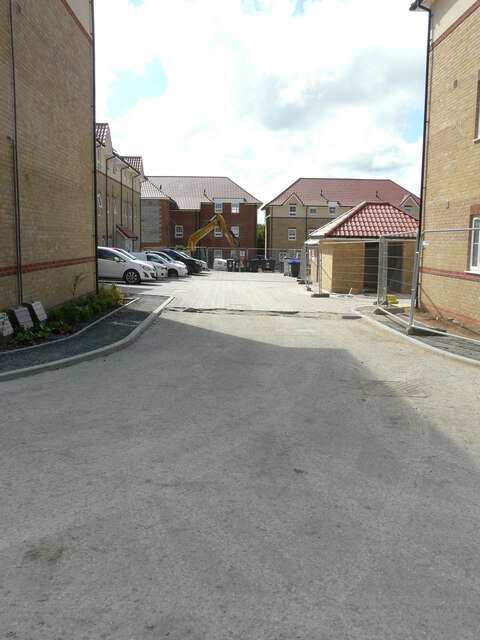
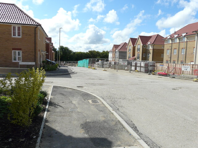
Aylesham
Aylesham is a village and civil parish in the Dover district of Kent, England. The village is 6.5 miles (10.5 km) southeast of the cathedral city of Canterbury...

Womenswold
Womenswold is a village and civil parish centred 7 miles (11 km) south-east of Canterbury, Kent, England, 1 mile to the east of the A2 road. The parish...

Ileden and Oxenden Woods
Ileden and Oxenden Woods is an 86.4-hectare (213-acre) biological Site of Special Scientific Interest (SSSI) south-east of Canterbury in Kent. It is in...
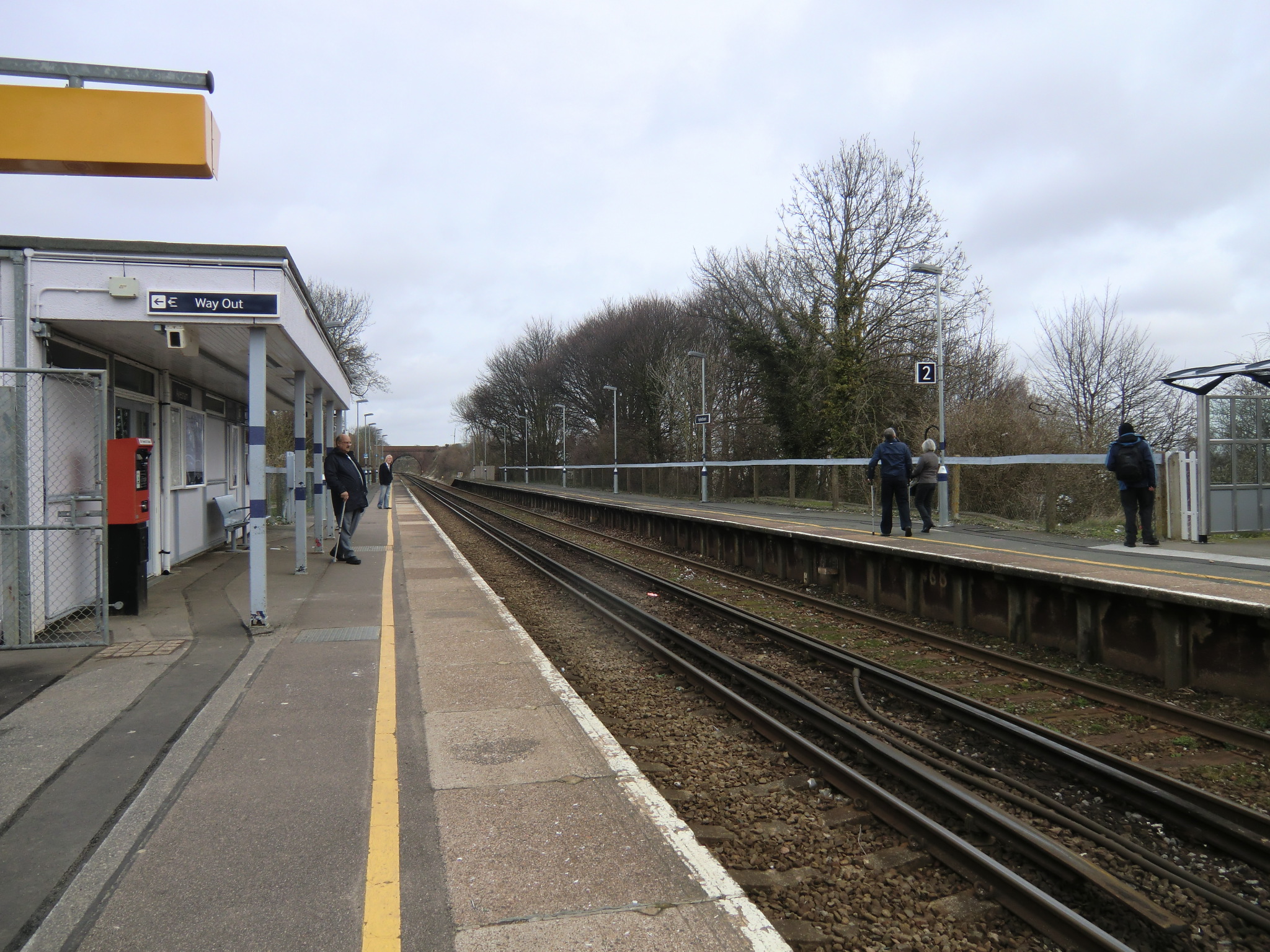
Aylesham railway station
Aylesham railway station is on the Dover branch of the Chatham Main Line in England, and serves the village of Aylesham, Kent. It is 68 miles 66 chains...
Black Mill, Barham
Black Mill or Barham Downs Mill was a smock mill at Barham, Kent, England which was accidentally burnt down in 1970 while under restoration. == History... ==

Snowdown
Snowdown is a hamlet near Dover in Kent, England. It was the location of one of the four chief collieries of the Kent coalfield, which closed in 1987....

Woolage Village
Woolage Village is a former mining village situated midway between Canterbury and Dover in the English county of Kent. It is 1 mile (1.6 km) to the east...

Snowdown railway station
Snowdown railway station is on the Dover branch of the Chatham Main Line in England, and serves the hamlet of Snowdown, Kent. It is 69 miles 60 chains...
Nearby Amenities
Located within 500m of 51.221323,1.1891586Have you been to Aylesham Wood?
Leave your review of Aylesham Wood below (or comments, questions and feedback).