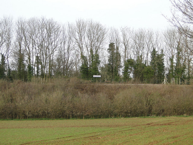
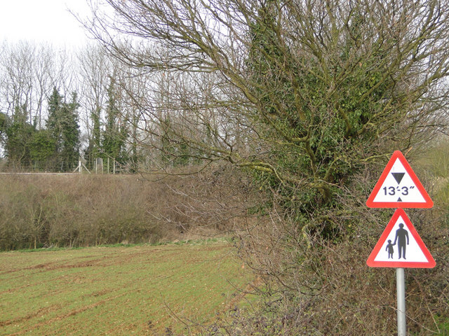
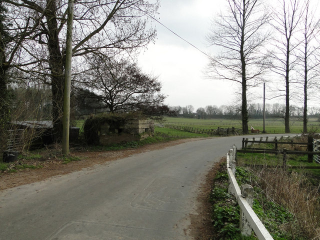
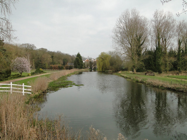
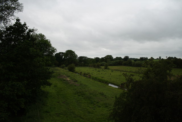
Church Plantation
Wood, Forest in Norfolk Broadland
England
Church Plantation
Church Plantation is a small neighborhood located in Norfolk, Virginia. Nestled within the larger Wood, Forest area, this community offers residents a peaceful and suburban environment. The neighborhood is characterized by its tree-lined streets, spacious lots, and well-maintained properties.
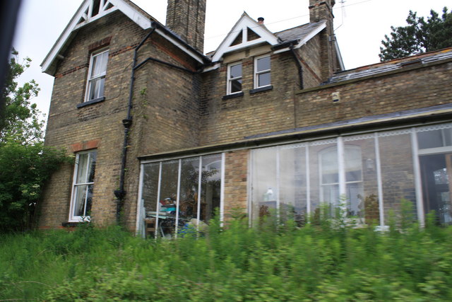
Homes in Church Plantation vary in style and size, ranging from charming cottages to larger single-family houses. The architecture predominantly reflects traditional American designs with features such as brick facades, gabled roofs, and well-manicured lawns. Many properties also boast beautiful gardens and landscaped yards, enhancing the overall aesthetics of the neighborhood.
The community is known for its family-friendly atmosphere and strong sense of community. Residents often come together for neighborhood events, such as block parties, holiday celebrations, and charity drives. These activities foster a close-knit community where neighbors form lasting relationships.
Church Plantation offers convenient access to a variety of amenities and services. Within a short drive, residents can reach shopping centers, restaurants, and entertainment options. Additionally, the neighborhood is in proximity to several parks and natural areas, providing opportunities for outdoor activities and recreation.
The local school district serving Church Plantation is highly regarded, offering quality education for children of all ages. The neighborhood's proximity to major roadways and public transportation options makes commuting to the surrounding areas easy and convenient.
Overall, Church Plantation in Norfolk is a desirable residential area that offers a peaceful and family-friendly environment, making it an attractive place to call home.
If you have any feedback on the listing, please let us know in the comments section below.
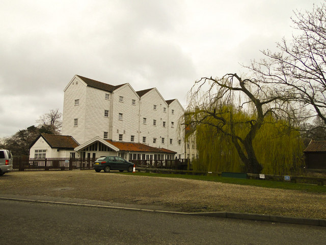
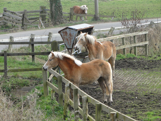
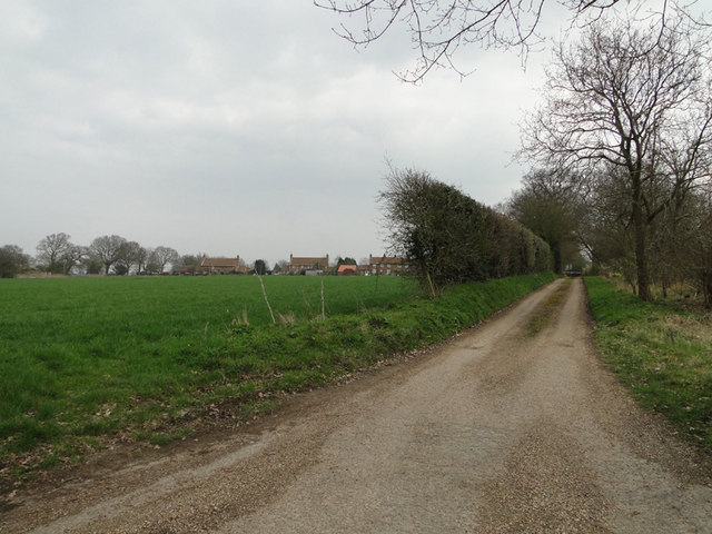
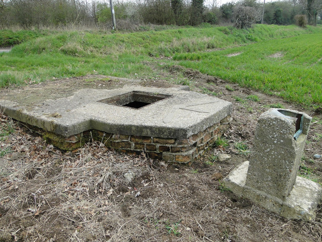
Church Plantation Images
Images are sourced within 2km of 52.768926/1.3010439 or Grid Reference TG2224. Thanks to Geograph Open Source API. All images are credited.
Church Plantation is located at Grid Ref: TG2224 (Lat: 52.768926, Lng: 1.3010439)
Administrative County: Norfolk
District: Broadland
Police Authority: Norfolk
What 3 Words
///bead.jaws.lamenting. Near Buxton, Norfolk
Nearby Locations
Related Wikis

Oxnead
Oxnead is a lost settlement and former civil parish, now in the parish of Brampton, in the Broadland district, in the county of Norfolk, England. It is...
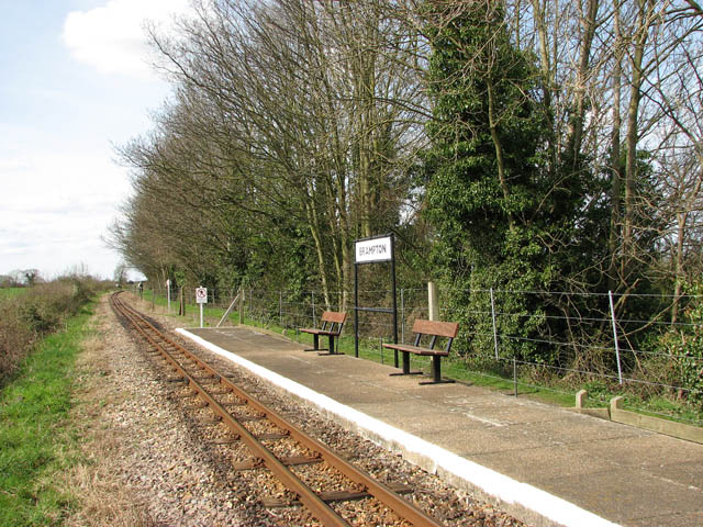
Brampton railway station (Norfolk)
Brampton railway station serves the village of Brampton in Norfolk and is operated by the Bure Valley Railway, a narrow gauge heritage railway operation...

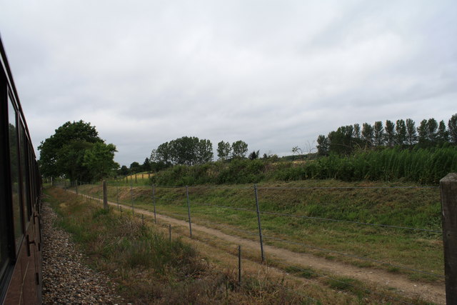
Bure Valley Path
The Bure Valley Path is a 9-mile (14 km) long walking trail and cycling trail in Norfolk, England. It runs alongside the Bure Valley Railway, a heritage...

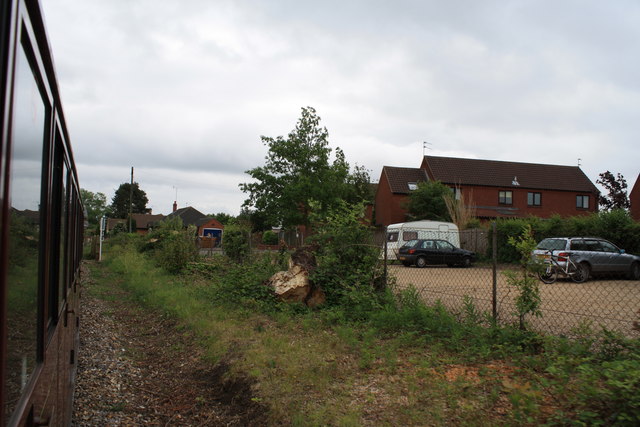
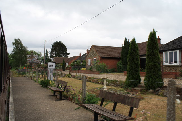
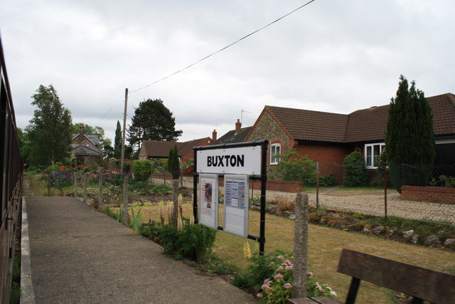
Buxton railway station (Norfolk)
Buxton railway station serves the village of Buxton in Norfolk and is served by the Bure Valley Railway.
Nearby Amenities
Located within 500m of 52.768926,1.3010439Have you been to Church Plantation?
Leave your review of Church Plantation below (or comments, questions and feedback).