D' Oyly's Grove
Wood, Forest in Norfolk South Norfolk
England
D' Oyly's Grove

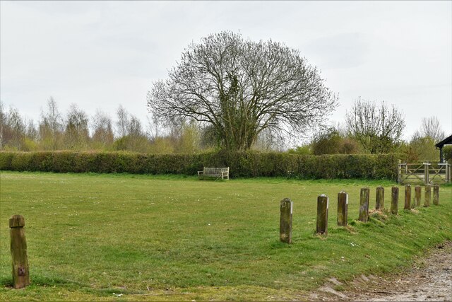
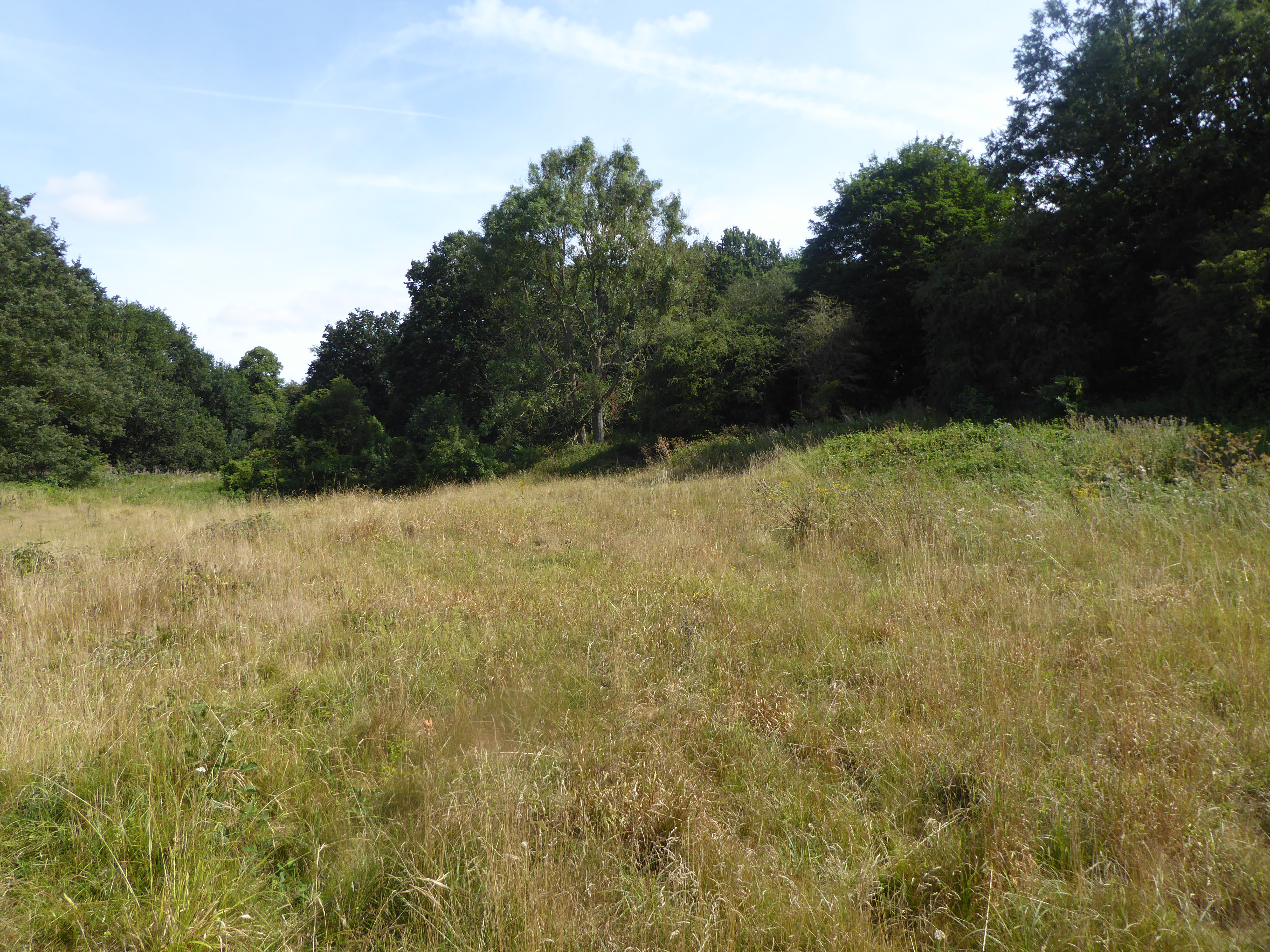
D' Oyly's Grove is a picturesque woodland located in Norfolk, England. Spanning over several acres, it is a haven of natural beauty and tranquility. The grove is named after the D' Oyly family, who were prominent landowners in the area during the 19th century.
The woodland boasts a diverse range of tree species, including oak, beech, and ash, which create a dense and lush canopy. The forest floor is covered in a thick carpet of moss, ferns, and wildflowers, providing a habitat for numerous species of wildlife. Birdsong fills the air, with woodpeckers and various songbirds making their homes among the trees.
Several well-maintained walking trails wind their way through the grove, allowing visitors to explore its natural wonders at their own pace. Along these paths, one can discover hidden streams, small waterfalls, and enchanting clearings. The grove is a popular destination for nature enthusiasts, walkers, and photographers, who are drawn to its serenity and captivating beauty.
D' Oyly's Grove also holds historical significance, with remnants of an ancient settlement still visible within its boundaries. Archaeological excavation has revealed artifacts dating back to the Iron Age, providing insights into the area's rich past.
The grove is open to the public year-round, with no admission fee. It offers a peaceful retreat from the hustle and bustle of everyday life, inviting visitors to immerse themselves in the natural splendor and tranquility of Norfolk's woodlands.
If you have any feedback on the listing, please let us know in the comments section below.
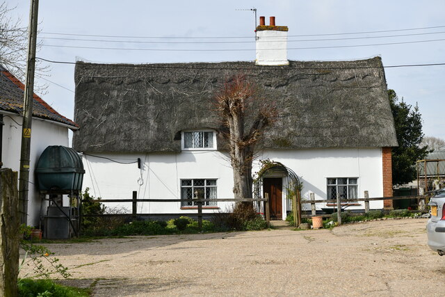
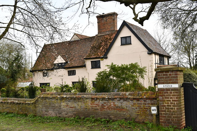
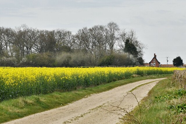
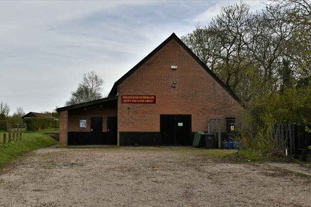
D' Oyly's Grove Images
Images are sourced within 2km of 52.511152/1.2812635 or Grid Reference TM2295. Thanks to Geograph Open Source API. All images are credited.


D' Oyly's Grove is located at Grid Ref: TM2295 (Lat: 52.511152, Lng: 1.2812635)
Administrative County: Norfolk
District: South Norfolk
Police Authority: Norfolk
What 3 Words
///deluded.impaired.sprouting. Near Long Stratton, Norfolk
Nearby Locations
Related Wikis

Morningthorpe
Morningthorpe (sometimes Morning Thorpe) is a village and former civil parish, now in the parish of Morningthorpe and Fritton in the South Norfolk district...

Hempnall
Hempnall is a village and civil parish in the English county of Norfolk. It covers an area of 14.82 km2 (5.72 sq mi) and had a population of 1,310 in 522...
Saxlingham Nethergate
Saxlingham Nethergate is a village and civil parish in Norfolk, England, about 9.5 miles (15 km) south of Norwich. The civil parish has an area of 3.3...

A140 road
The A140 is an 'A-class' road in Norfolk and Suffolk, East Anglia, England partly following the route of the Roman Pye Road. It runs from the A14 near...

Tasburgh
Tasburgh ( TAYZ-bər-ə) is a civil parish and a village in the south of Norfolk, England, located approximately 8 miles south of Norwich. It lies on the...

Newton Flotman
Newton Flotman, meaning new farm or settlement, is a village and civil parish in the English county of Norfolk, lies about 7 miles (11 km) south of Norwich...
Smockmill Common
Smockmill Common is a 10-hectare (25-acre) Local Nature Reserve on the eastern outskirts of Newton Flotman in Norfolk. It is owned by the Shotesham Estate...

Shotesham-Woodton Hornbeam Woods
Shotesham-Woodton Hornbeam Woods is a 40.4-hectare (100-acre) biological Site of Special Scientific Interest east of Newton Flotman in Norfolk.This site...
Nearby Amenities
Located within 500m of 52.511152,1.2812635Have you been to D' Oyly's Grove?
Leave your review of D' Oyly's Grove below (or comments, questions and feedback).