Dunston Hills

Wood, Forest in Norfolk South Norfolk

England

Dunston Hills

The A47 west approaching junction with A140
The A47 west approaching junction with A140 Credit: Roy Hughes

Dunston Hills is a picturesque woodland area situated in the county of Norfolk, England. Known for its idyllic beauty and rich biodiversity, this wood is a haven for nature lovers and outdoor enthusiasts alike. Spanning over an expansive area of approximately 200 acres, Dunston Hills offers visitors a serene and tranquil environment to explore and unwind.

The wood is predominantly composed of native deciduous trees such as oak, beech, and birch, which create a vibrant and ever-changing landscape throughout the seasons. These trees provide ample shade and shelter for a diverse range of flora and fauna that call Dunston Hills their home. Visitors can expect to encounter a variety of wildflowers, ferns, and mosses, adding a splash of color and texture to the woodland floor.

Moreover, the forest is home to numerous species of birds, such as woodpeckers, owls, and thrushes, making it a popular spot for birdwatching enthusiasts. Additionally, the wood provides a habitat for small mammals like squirrels, foxes, and rabbits, which can often be spotted darting through the undergrowth.

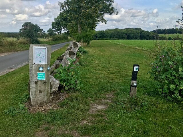
Dunston Hills boasts an extensive network of well-maintained walking trails, allowing visitors to explore the wood at their own pace. These paths wind through ancient groves and meander alongside babbling brooks, offering breathtaking views of the surrounding countryside.

For those seeking a peaceful retreat or a chance to reconnect with nature, Dunston Hills in Norfolk is a must-visit destination. With its diverse flora, abundant wildlife, and serene atmosphere, this woodland truly embodies the beauty of the English countryside.

If you have any feedback on the listing, please let us know in the comments section below.

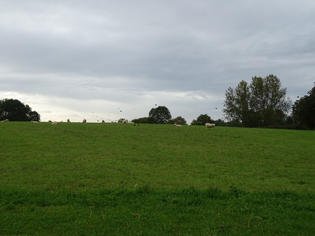
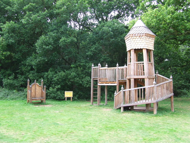
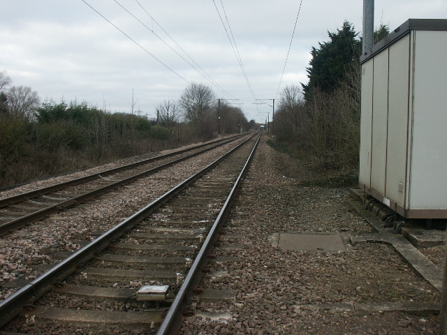
Dunston Hills Images

Images are sourced within 2km of 52.577812/1.2787286 or Grid Reference TG2202. Thanks to Geograph Open Source API. All images are credited.

The A47 west approaching junction with A140
Keswick: A47 bridge over the Ipswich Road roundabout
Road junction at Caistor St Edmund With a rather dull village sign see <a href="https://www.geograph.org.uk/photo/6797396">TG2303 : Caistor St Edmund village sign</a>
Road junction at Caistor St Edmund
With a rather dull village sign see TG2303 : Caistor St Edmund village sign
Concessionary path next to Wash Lane Part of a network of paths around High Ash Farm <span class="nowrap"><a title="https://www.highashfarm.com/_files/ugd/fff082_d6472f8475a545759d5d20b6c1ecc567.pdf" rel="nofollow ugc noopener" href="https://www.highashfarm.com/_files/ugd/fff082_d6472f8475a545759d5d20b6c1ecc567.pdf">Link</a><img style="margin-left:2px;" alt="External link" title="External link - shift click to open in new window" src="https://s1.geograph.org.uk/img/external.png" width="10" height="10"/></span>.
Concessionary path next to Wash Lane
Part of a network of paths around High Ash Farm LinkExternal link.
Grazing beside Foxes' Grove
Caistor Lane, Caistor St Edmund
Heading east on Caistor Lane
Field off Chandler Road
Chandler Road Boudicca Way footpath.
Chandler Road
Boudicca Way footpath.
Sheep grazing, Halfway House
Minor road junction, Halfway House
Entering Stoke Holy Cross On Norwich Road.
Entering Stoke Holy Cross
On Norwich Road.
The Wildebeest public house
Cottages, Stoke Holy Cross
St George's Hall, Stoke Holy Cross
Elizabeth II postbox, Caistor St Edmund Postbox No. NR14 1467.
Elizabeth II postbox, Caistor St Edmund
Postbox No. NR14 1467.
Hillside Close
Hillside Close
Road sign, Gowthorpe Lane
Show me another place!

Dunston Hills is located at Grid Ref: TG2202 (Lat: 52.577812, Lng: 1.2787286)

Administrative County: Norfolk

District: South Norfolk

Police Authority: Norfolk

What 3 Words

///cascaded.goodbyes.puncture. Near Mulbarton, Norfolk

Related Wikis

Nearby Amenities

Located within 500m of 52.577812,1.2787286
Power: tower
Ref: PHC 4
Lat/Long: 52.5800101/1.2777611
Power: tower
Ref: PGG 4
Lat/Long: 52.5808472/1.2777079
Power: tower
Ref: PGG 3
Lat/Long: 52.578854/1.2752117
Power: tower
Ref: PHC 3
Lat/Long: 52.5784713/1.2759423
Power: tower
Ref: PO12
Lat/Long: 52.5754428/1.2739708
Power: tower
Ref: PHC 2
Lat/Long: 52.5770585/1.2749224
Power: tower
Ref: PGG 2
Lat/Long: 52.5770324/1.274454
Power: tower
Ref: PHC 1
Lat/Long: 52.5748531/1.275307
Power: tower
Ref: PGG 1
Lat/Long: 52.5751505/1.2748683
Power: tower
Lat/Long: 52.5744476/1.2746753
Power: pole
Lat/Long: 52.5751497/1.2743596
Power: pole
Lat/Long: 52.5751433/1.2740588
Power: pole
Lat/Long: 52.5747996/1.2742445
Power: pole
Lat/Long: 52.5747233/1.2745128
Power: tower
Ref: PHC 5
Lat/Long: 52.581783/1.279977
Parking
Access: yes
Fee: no
Parking: surface
Lat/Long: 52.5741313/1.2777993
Bus Stop
Hall, opp
Bench: no
Bin: no
Lit: no
Naptan AtcoCode: 2900S497
Naptan Bearing: N
Naptan BusStopType: CUS
Naptan CommonName: Hall
Naptan Indicator: opp
Naptan Landmark: Hall
Naptan Locality: Dunston
Naptan NaptanCode: nfodwajm
Naptan PlusbusZoneRef: NRCH
Naptan ShortCommonName: Hall
Naptan Street: Ipswich Road
Naptan Verified: no
Shelter: no
Source: naptan_import
Tactile Paving: no
Lat/Long: 52.5760287/1.2793979
Bus Stop
Hall, adj
Bench: no
Naptan AtcoCode: 2900S498
Naptan Bearing: SW
Naptan BusStopType: CUS
Naptan CommonName: Hall
Naptan Indicator: adj
Naptan Locality: Dunston
Naptan NaptanCode: nfodwajp
Naptan PlusbusZoneRef: NRCH
Naptan Street: Ipswich Road
Naptan Verified: no
Shelter: no
Source: naptan_import
Tactile Paving: no
Lat/Long: 52.5766516/1.2799611
Parking
Access: yes
Fee: no
Parking: surface
Lat/Long: 52.5769656/1.2798419
Bench
Backrest: yes
Material: wood
Seats: 3
Lat/Long: 52.5796921/1.281279
Board Type: history
Information: board
Tourism: information
Lat/Long: 52.5797071/1.2812797
Barrier: kissing_gate
Bicycle: no
Foot: yes
Lat/Long: 52.5770803/1.282848
Bench
Backrest: yes
Material: wood
Seats: 1
Lat/Long: 52.5753915/1.2848398
Post Box
Collection Times: Mo-Fr 16:00; Sa 08:30
Post Box Mounting: brick_pillar
Post Box Type: wall
Ref: NR14 1463
Royal Cypher: GR
Royal Cypher Wikidata: Q33102273
Lat/Long: 52.5757307/1.2834745
Information: board
Tourism: information
Lat/Long: 52.5767053/1.2839891
Ford: yes
Note: timbers in ditch to assist crossing, no bridge
Lat/Long: 52.5756895/1.2839858
Bench
Backrest: yes
Material: metal
Seats: 2
Lat/Long: 52.5756849/1.2850705
Colour: red and white
Marker: aerial
Utility: gas
Lat/Long: 52.579583/1.2790254
Colour: yellow
Marker: post
Utility: gas
Lat/Long: 52.5795801/1.2790192
Power: pole
Lat/Long: 52.5777798/1.2842483
Power: pole
Lat/Long: 52.5775875/1.2840879
Power: pole
Lat/Long: 52.5772029/1.2840545
Power: pole
Lat/Long: 52.5777146/1.2848486
Power: pole
Lat/Long: 52.5766059/1.2833554
The data included in this document is from www.openstreetmap.org. The data is made available under ODbL.

Have you been to Dunston Hills?

Leave your review of Dunston Hills below (or comments, questions and feedback).