Dunston
Settlement in Norfolk South Norfolk
England
Dunston
Dunston is a small village located in the county of Norfolk, England. Situated approximately 7 miles south-west of the city of Norwich, it is part of the South Norfolk district. With a population of around 500 residents, Dunston is a close-knit community that offers a tranquil and picturesque countryside setting.
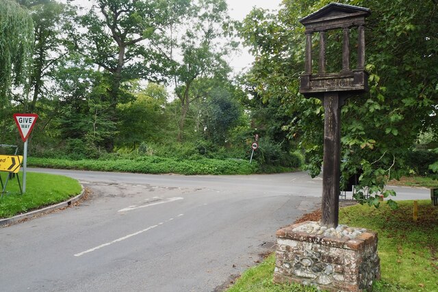
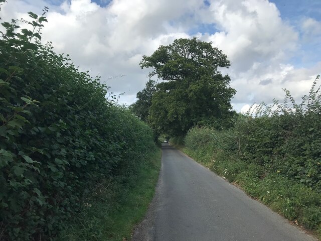
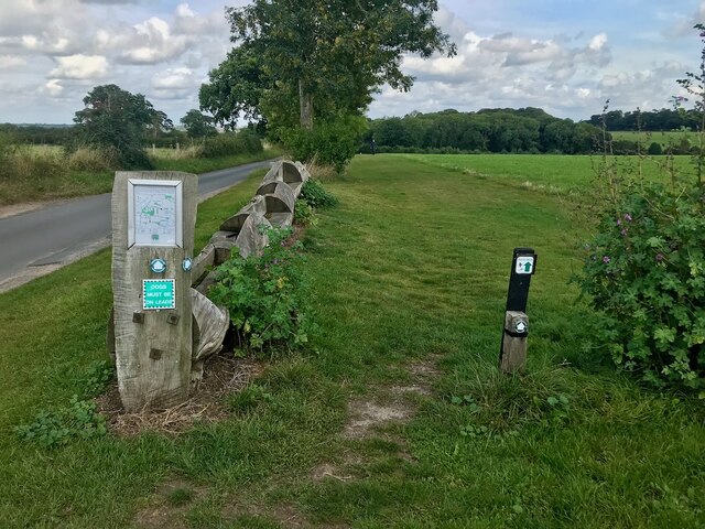
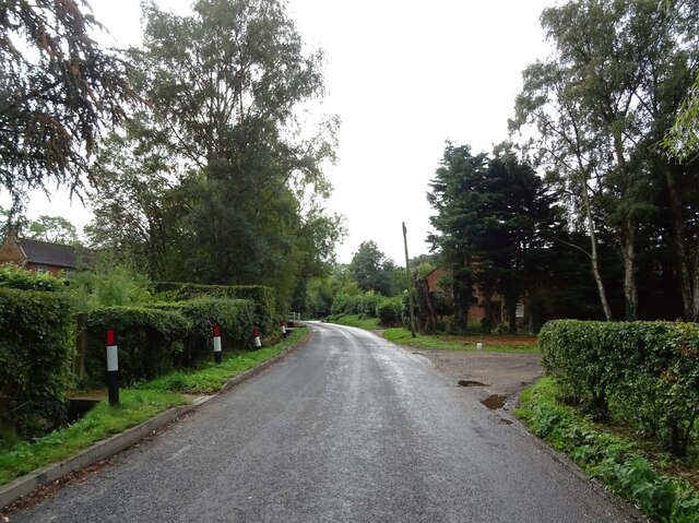
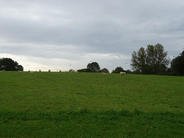
The village is known for its charming rural character, with rolling fields, meandering streams, and historic buildings. It is surrounded by the beautiful Norfolk countryside, providing residents and visitors with ample opportunities for outdoor activities such as walking, cycling, and horse riding. The nearby River Tas adds to the village's natural beauty and provides a peaceful spot for fishing and boating.
Dunston is home to the iconic St Remigius Church, a Grade II listed building dating back to the 14th century. The church's stunning architecture and rich history make it a must-visit attraction for history enthusiasts.
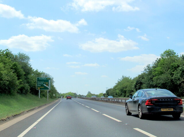
In terms of amenities, Dunston offers a range of facilities to cater to the needs of its residents. These include a local pub, a village hall, a primary school, and a post office. The village also benefits from good transportation links, with regular bus services connecting it to nearby towns and cities.
Overall, Dunston is a charming village that offers a tranquil and idyllic setting, perfect for those seeking a peaceful countryside escape. Its rich history, natural beauty, and strong sense of community make it a highly desirable place to live or visit in Norfolk.
If you have any feedback on the listing, please let us know in the comments section below.
Dunston Images
Images are sourced within 2km of 52.57376/1.285141 or Grid Reference TG2202. Thanks to Geograph Open Source API. All images are credited.


Dunston is located at Grid Ref: TG2202 (Lat: 52.57376, Lng: 1.285141)
Administrative County: Norfolk
District: South Norfolk
Police Authority: Norfolk
What 3 Words
///apply.twisting.clashing. Near Mulbarton, Norfolk
Nearby Locations
Related Wikis
Dunston Common
Dunston Common is a 3.8-hectare (9.4-acre) Local Nature Reserve south of Norwich in Norfolk. It is owned and managed by South Norfolk District Council...

Stoke Holy Cross
Stoke Holy Cross is a village in South Norfolk which lies approximately 4 miles (6.4 km) south of Norwich. == Geography == Stoke sits on the River Tas...

Venta Icenorum
Venta Icenorum (Classical Latin: [ˈwɛnta ɪkeːˈnoːrũː], literally "marketplace of the Iceni") was the civitas or capital of the Iceni tribe, located at...
Swainsthorpe railway station
Swainsthorpe was a railway station in Swainsthorpe, England, around five miles south of Norwich. It was opened in 1850 when the Great Eastern Railway constructed...

Swainsthorpe
Swainsthorpe is a village in Norfolk, England. It lies on the A140 road, approximately 5 miles south of Norwich, and just north of Newton Flotman. It covers...

Caistor St Edmund
Caistor St Edmund is a village and former civil parish on the River Tas, now in the parish of Caistor St Edmund and Bixley, in the South Norfolk district...

Norwich CEYMS F.C.
Norwich Church of England Young Men's Society Football Club, commonly called Norwich CEYMS, is a football club based in Swardeston, near Norwich, in Norfolk...

Swardeston
Swardeston is a village four miles (6 km) south of Norwich in Norfolk, England, on high ground above the Tas valley. It covers an area of 3.95 km2 (1.53...
Nearby Amenities
Located within 500m of 52.57376,1.285141Have you been to Dunston?
Leave your review of Dunston below (or comments, questions and feedback).