Dunston Heath
Settlement in Staffordshire South Staffordshire
England
Dunston Heath

Dunston Heath is a small village located in the county of Staffordshire, England. Situated approximately 8 miles southeast of the county town of Stafford, it is nestled within the picturesque countryside, offering residents and visitors a tranquil and idyllic setting.
The village is home to a close-knit community, comprising mainly of residential properties and a handful of local amenities. The architecture within Dunston Heath is a mix of traditional stone-built cottages and newer, modern homes, reflecting the village's historical roots as well as its evolving character.
Despite its small size, Dunston Heath offers a range of amenities to cater to the needs of its residents. These include a local convenience store, a post office, and a village pub, which serves as a popular meeting spot for locals and visitors alike. The village also benefits from a primary school, ensuring that families have access to education within the community.
Surrounded by beautiful countryside, Dunston Heath is a haven for nature enthusiasts and outdoor lovers. The village is located near Cannock Chase, an Area of Outstanding Natural Beauty, providing ample opportunities for walking, cycling, and exploring the abundant wildlife in the area.
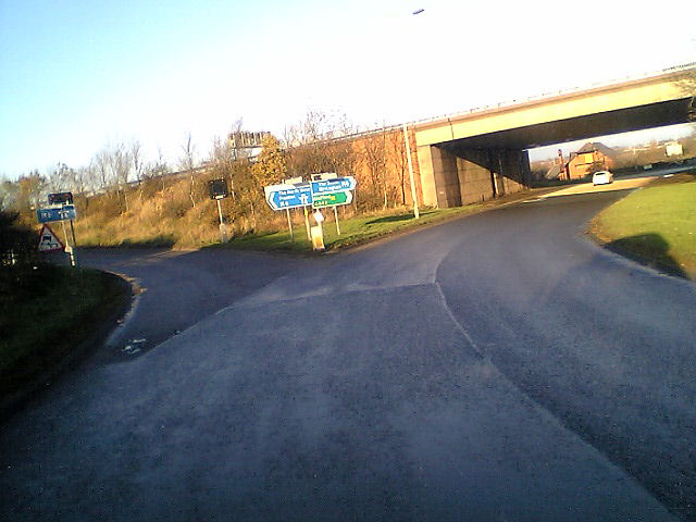
Transport links in Dunston Heath are well-connected, with easy access to major roads such as the A449 and the M6 motorway, allowing for convenient travel to nearby towns and cities. The village is also serviced by a regular bus route, connecting residents to Stafford and other surrounding areas.
In summary, Dunston Heath offers a peaceful and welcoming village atmosphere, with a strong sense of community and access to beautiful countryside.
If you have any feedback on the listing, please let us know in the comments section below.
Dunston Heath Images
Images are sourced within 2km of 52.754117/-2.130354 or Grid Reference SJ9117. Thanks to Geograph Open Source API. All images are credited.


Dunston Heath is located at Grid Ref: SJ9117 (Lat: 52.754117, Lng: -2.130354)
Administrative County: Staffordshire
District: South Staffordshire
Police Authority: Staffordshire
What 3 Words
///revise.rocky.centrally. Near Penkridge, Staffordshire
Nearby Locations
Related Wikis

Coppenhall
Coppenhall is a small settlement in Staffordshire, England. Coppenhall lies 2 kilometres (1 mi) southwest of Stafford and 4 miles (6.4 km) NNW of Penkridge...

Dunston, Staffordshire
Dunston is a small village in England lying on the west side of the A449 trunk road about 3 miles (4.8 km) south of Stafford, close to Junction 13 of the...

Levedale
Levedale is a small somewhat elongated English village situated some 4 miles southwest of Stafford, 2 miles northwest of Penkridge and a mile west of Dunston...

St Lawrence's Church, Coppenhall
St Lawrence's Church, Coppenhall is a Grade II* listed parish church in the Church of England in Coppenhall, Staffordshire. == History == The small ancient...
Acton Trussell
Acton Trussell is a village in the English county of Staffordshire. It is known as Actone in the Domesday Book. Located around 4 miles southeast of Stafford...

Hyde Lea
Hyde Lea is a village and parish in Staffordshire, England, just west of Stafford itself. Hyde Lea borders the southern boundary of Castle Church parish...

Penkridge Viaduct
Penkridge Viaduct is a railway viaduct on the West Coast Main Line where it crosses the River Penk and Levedale Road near the village of Penkridge, Staffordshire...
Stafford Grammar School
Stafford Grammar School is a mixed independent day school at Burton Manor, located on the outskirts of Stafford, the county town of Staffordshire. Founded...
Nearby Amenities
Located within 500m of 52.754117,-2.130354Have you been to Dunston Heath?
Leave your review of Dunston Heath below (or comments, questions and feedback).