Dunston

Civil Parish in Staffordshire South Staffordshire

England

Dunston

Canalside Cottage near Acton Trussell in Staffordshire By the Staffordshire and Worcestershire Canal.
There is no actual road access to the premises; just a strengthened towpath.
Canalside Cottage near Acton Trussell in Staffordshire Credit: Roger D Kidd

Dunston is a civil parish located in the county of Staffordshire, England. It is situated approximately 6 miles southwest of the city of Stoke-on-Trent and covers an area of around 2 square miles. The parish is part of the Staffordshire Moorlands district.

Dunston is a predominantly rural area, characterized by rolling hills and picturesque countryside. It is home to a small population of around 500 residents. The parish consists of a cluster of houses and farms, with a few small businesses and amenities serving the local community.

The village of Dunston has a long history, with records dating back to the Domesday Book of 1086. It was originally an agricultural settlement, relying heavily on farming and livestock rearing. Today, farming still plays a significant role in the local economy, with several working farms dotting the landscape.

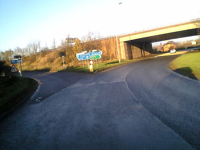
Despite its rural setting, Dunston is well-connected to neighboring towns and cities. The A51 road runs through the parish, providing easy access to major transportation routes. The nearby city of Stoke-on-Trent offers a wide range of amenities, including shopping centers, schools, and healthcare facilities.

Dunston is surrounded by beautiful natural scenery, making it a popular destination for outdoor enthusiasts. The area boasts several walking and cycling routes, as well as opportunities for fishing and horse riding. The nearby Peak District National Park offers further recreational possibilities for residents and visitors alike.

In summary, Dunston is a small rural parish in Staffordshire, known for its picturesque countryside, farming heritage, and proximity to larger towns and cities.

If you have any feedback on the listing, please let us know in the comments section below.
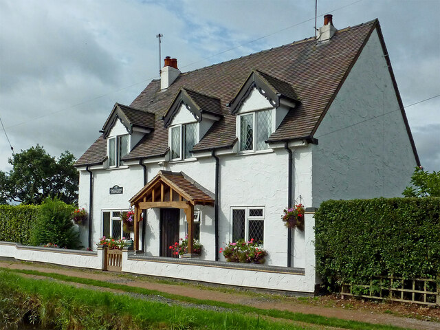
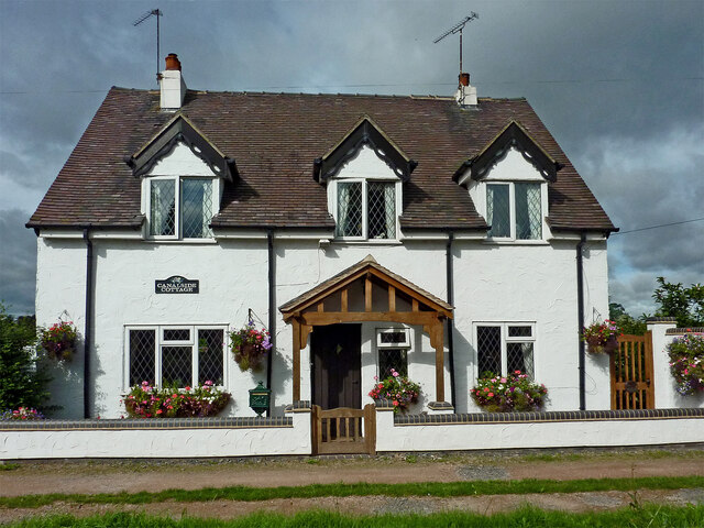
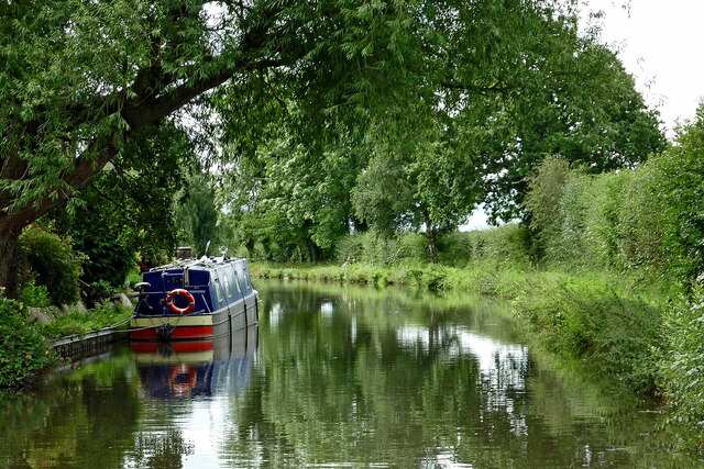
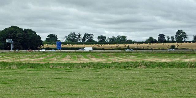
Dunston Images

Images are sourced within 2km of 52.756269/-2.127279 or Grid Reference SJ9117. Thanks to Geograph Open Source API. All images are credited.

Canalside Cottage near Acton Trussell in Staffordshire By the Staffordshire and Worcestershire Canal.
There is no actual road access to the premises; just a strengthened towpath.
Canalside Cottage near Acton Trussell in Staffordshire
By the Staffordshire and Worcestershire Canal. There is no actual road access to the premises; just a strengthened towpath.
Canal near Acton Trussell in Staffordshire Looking south towards Penkridge, this is the Staffordshire and Worcestershire Canal near the southern part of Acton Trussell (off to the left). The large overhanging tree has been felled since the image was obtained.
Canal near Acton Trussell in Staffordshire
Looking south towards Penkridge, this is the Staffordshire and Worcestershire Canal near the southern part of Acton Trussell (off to the left). The large overhanging tree has been felled since the image was obtained.
Farmland and motorway near Acton Trussell, Staffordshire Looking west-south-west from the Staffordshire and Worcestershire Canal. Cockpit Plantation is on the left. The M6 motorway crosses the view, and just below it, the River Penk (hidden) meanders, flowing from left to right.
Farmland and motorway near Acton Trussell, Staffordshire
Looking west-south-west from the Staffordshire and Worcestershire Canal. Cockpit Plantation is on the left. The M6 motorway crosses the view, and just below it, the River Penk (hidden) meanders, flowing from left to right.
Staffordshire farmland near Dunston Looking west from the Staffordshire and Worcestershire Canal. The M6 motorway is  about 340 metres away. The River Penk meanders from left to right across the view, about 150 metres away.
Staffordshire farmland near Dunston
Looking west from the Staffordshire and Worcestershire Canal. The M6 motorway is about 340 metres away. The River Penk meanders from left to right across the view, about 150 metres away.
The valley of the River Penk With the M6 on the west side and the Staffs & Worcs canal on the east side. The land is 80-85 metres above sea level.
The valley of the River Penk
With the M6 on the west side and the Staffs & Worcs canal on the east side. The land is 80-85 metres above sea level.
Through Gate to Field of Grass Looking across field to Cannock Chase, the communications towers at Pye Green  can be seen in the distance.
Through Gate to Field of Grass
Looking across field to Cannock Chase, the communications towers at Pye Green can be seen in the distance.
Looking over Pool to House
Collecting Yard and Cattle Crush, Levedale Farm
Green Pool at Willow Farm
Dunston The picturesque church on the A449 at Dunston, a tiny village just by junction 13 of the M6 motorway.
Dunston
The picturesque church on the A449 at Dunston, a tiny village just by junction 13 of the M6 motorway.
Coppenhall Church St Lawrence's, described by Pevsner as 'the perfect 13C village church, small but with great dignity.'  The bell-turret is a Victorian addition.
Coppenhall Church
St Lawrence's, described by Pevsner as 'the perfect 13C village church, small but with great dignity.' The bell-turret is a Victorian addition.
Argos Home Delivery at  Acton Gate Home delivery Regional Distribution Centre, the smallest of three!
Argos Home Delivery at Acton Gate
Home delivery Regional Distribution Centre, the smallest of three!
entry to the  N bound M6 Junc 13 Dunston behind and Stafford under the bridge

See also <a href="https://www.geograph.org.uk/photo/249268">SJ9218 : The entry to the N bound M6 Junc 13 ...</a>
entry to the N bound M6 Junc 13
Dunston behind and Stafford under the bridge See also SJ9218 : The entry to the N bound M6 Junc 13 ...
A449 near Home Farm A449 just south of Dunston Home farm on the left
A449 near Home Farm
A449 just south of Dunston Home farm on the left
St. James, Acton Trussell <span class="nowrap"><a title="http://churches.lichfield.anglican.org/penkridge/actont/acton.htm" rel="nofollow ugc noopener" href="http://churches.lichfield.anglican.org/penkridge/actont/acton.htm">Link</a><img style="margin-left:2px;" alt="External link" title="External link - shift click to open in new window" src="https://s1.geograph.org.uk/img/external.png" width="10" height="10"/></span>
St. James, Acton Trussell
Farmhouse, Hay House Farm
Hope Farm
Hope Farm
Show me another place!

Dunston is located at Grid Ref: SJ9117 (Lat: 52.756269, Lng: -2.127279)

Administrative County: Staffordshire

District: South Staffordshire

Police Authority: Staffordshire

What 3 Words

///flexed.alike.bandwagon. Near Penkridge, Staffordshire

Nearby Locations

Dunston Heath Dunston

Related Wikis

Coppenhall

Coppenhall is a small settlement in Staffordshire, England. Coppenhall lies 2 kilometres (1 mi) southwest of Stafford and 4 miles (6.4 km) NNW of Penkridge...

Dunston, Staffordshire

Dunston is a small village in England lying on the west side of the A449 trunk road about 3 miles (4.8 km) south of Stafford, close to Junction 13 of the...

St Lawrence's Church, Coppenhall

St Lawrence's Church, Coppenhall is a Grade II* listed parish church in the Church of England in Coppenhall, Staffordshire. == History == The small ancient...

Levedale

Levedale is a small somewhat elongated English village situated some 4 miles southwest of Stafford, 2 miles northwest of Penkridge and a mile west of Dunston...

Acton Trussell

Acton Trussell is a village in the English county of Staffordshire. It is known as Actone in the Domesday Book. Located around 4 miles southeast of Stafford...

Hyde Lea

Hyde Lea is a village and parish in Staffordshire, England, just west of Stafford itself. Hyde Lea borders the southern boundary of Castle Church parish...

Stafford Grammar School

Stafford Grammar School is a mixed independent day school at Burton Manor, located on the outskirts of Stafford, the county town of Staffordshire. Founded...

Acton Trussell and Bednall

Acton Trussell and Bednall is a civil parish in the South Staffordshire district of Staffordshire, England. As the name indicates, it contains the two...

Nearby Amenities

Located within 500m of 52.756269,-2.127279
Post Box
Brand: Royal Mail
Brand Wikidata: Q638098
Brand Wikipedia: en:Royal Mail
Operator: Royal Mail
Operator Wikidata: Q638098
Ref: ST18 165
Lat/Long: 52.7585053/-2.1327518
Barrier: stile
Lat/Long: 52.7552936/-2.1203251
Generator Method: photovoltaic
Generator Output Electricity: yes
Generator Source: solar
Generator Type: solar_photovoltaic_panel
Location: roof
Power: generator
Lat/Long: 52.7532758/-2.1218687
Power: pole
Lat/Long: 52.7600306/-2.1249003
Power: pole
Lat/Long: 52.7598764/-2.1266345
The data included in this document is from www.openstreetmap.org. The data is made available under ODbL.

Have you been to Dunston?

Leave your review of Dunston below (or comments, questions and feedback).