Dunston

Civil Parish in Lincolnshire North Kesteven

England

Dunston

Nocton Hall, Nocton Ivy aside, no great change since this photo eight years earlier <a href="https://www.geograph.org.uk/photo/362301">TF0664 : Nocton Hall - west front</a>. William Shearburn's rebuilding of 1841 after a fire was itself gutted by another fire in 2004. Grade II listed.
Nocton Hall, Nocton Credit: Stephen Richards

Dunston is a civil parish located in the district of North Kesteven, in the county of Lincolnshire, England. It is situated approximately 6 miles south of the city of Lincoln. The parish covers an area of around 7.5 square miles and has a population of around 400 people.

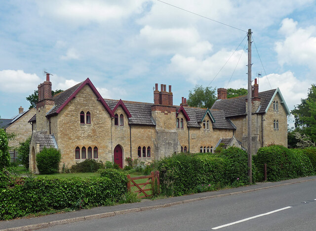
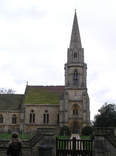
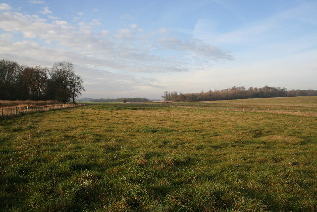
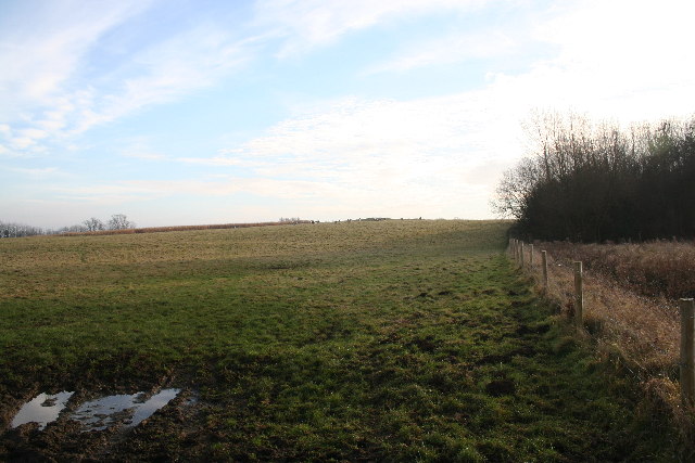
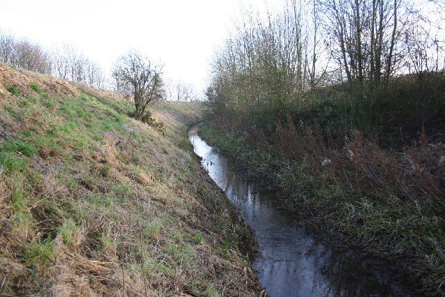
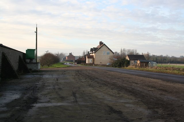
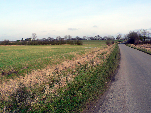
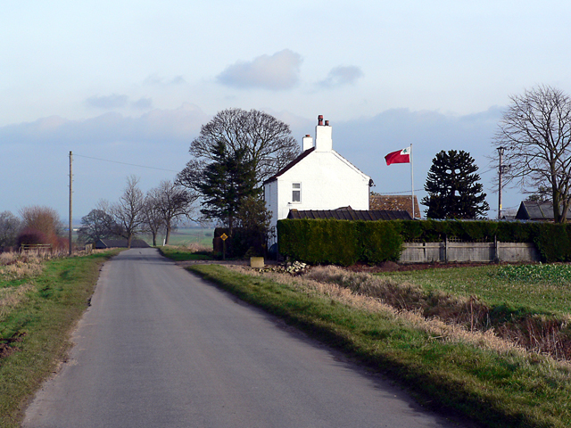
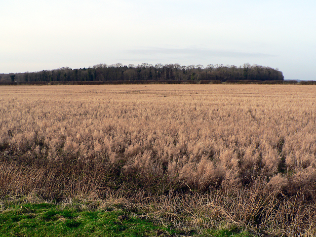
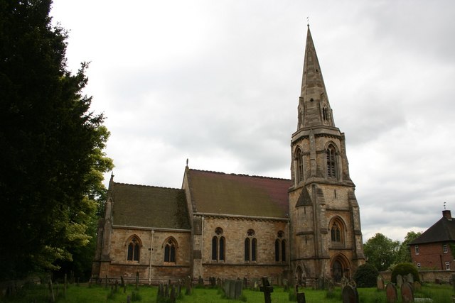
The village of Dunston is predominantly rural, surrounded by picturesque countryside and farmland. It is characterized by its charming and traditional English village atmosphere, with a mix of old stone cottages and newer houses. The village is centered around the Grade II listed St. Peter's Church, which dates back to the 13th century and is a prominent feature of the area.

Dunston offers a range of amenities to its residents, including a primary school, village hall, and a local pub. The village has a strong sense of community, with regular events and activities organized by local groups and organizations.

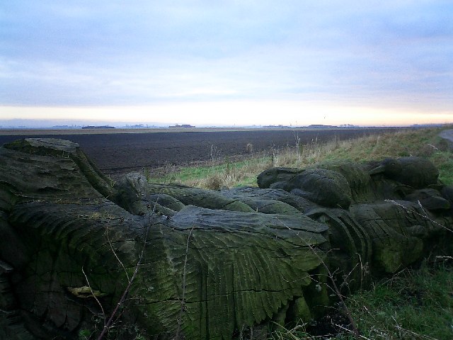
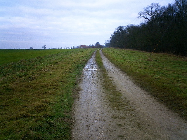
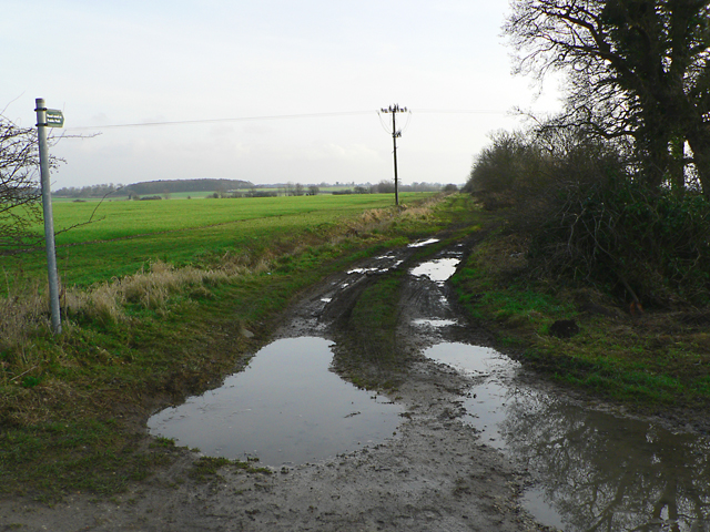
The surrounding area provides ample opportunities for outdoor activities, such as walking, cycling, and horse riding, with numerous footpaths and bridleways crisscrossing the countryside. The nearby Lincolnshire Wolds, designated as an Area of Outstanding Natural Beauty, is a popular destination for outdoor enthusiasts.

Dunston benefits from its proximity to the city of Lincoln, which offers a wider range of amenities, including shopping centers, restaurants, and cultural attractions. The village is well-connected by road, with easy access to the A46 and A15, providing links to neighboring towns and cities.

If you have any feedback on the listing, please let us know in the comments section below.

Dunston Images

Images are sourced within 2km of 53.157412/-0.399933 or Grid Reference TF0763. Thanks to Geograph Open Source API. All images are credited.

Nocton Hall, Nocton Ivy aside, no great change since this photo eight years earlier <a href="https://www.geograph.org.uk/photo/362301">TF0664 : Nocton Hall - west front</a>. William Shearburn's rebuilding of 1841 after a fire was itself gutted by another fire in 2004. Grade II listed.
Nocton Hall, Nocton
Ivy aside, no great change since this photo eight years earlier TF0664 : Nocton Hall - west front. William Shearburn's rebuilding of 1841 after a fire was itself gutted by another fire in 2004. Grade II listed.
18-21 Main Road, Nocton Distinctive Gothic estate cottages by George Gilbert Scott, c1860. Grade II listed.
18-21 Main Road, Nocton
Distinctive Gothic estate cottages by George Gilbert Scott, c1860. Grade II listed.
Nocton Hall The shell of the hall with its high security barricade
Nocton Hall
The shell of the hall with its high security barricade
Dunston, View from Chapel Lane Bridge
Bottom Lodge to Nocton Hall, The Bridleway, Nocton
Nocton Hall, Lincolnshire Architect William Shearburn.  Built for 1st Earl of Ripon 1841.  Gutted by fire 24.10.04.
Nocton Hall, Lincolnshire
Architect William Shearburn. Built for 1st Earl of Ripon 1841. Gutted by fire 24.10.04.
All Saints, Nocton. Built 1860-65 for the Countess of Ripon.  Architect, Sir George Gilbert Scott.
All Saints, Nocton.
Built 1860-65 for the Countess of Ripon. Architect, Sir George Gilbert Scott.
Medieval Fishponds Looking west towards Top Barff wood on the right. Undulations in these fields mark the site of the medieval fishponds for Nocton Park Priory.
Medieval Fishponds
Looking west towards Top Barff wood on the right. Undulations in these fields mark the site of the medieval fishponds for Nocton Park Priory.
Abbey Hill Site of Nocton Park Priory, founded c1150 for Augustinian Canons
Abbey Hill
Site of Nocton Park Priory, founded c1150 for Augustinian Canons
Carr Dyke Drainage of the fens was started by the Romans - this is part of Carr Dyke
Carr Dyke
Drainage of the fens was started by the Romans - this is part of Carr Dyke
Wasps Nest The isolated rural community of Wasps Nest on Nocton Fen
Wasps Nest
The isolated rural community of Wasps Nest on Nocton Fen
Wooden carving on Carr Dyke at top of Nocton Delph, looking east on the edge of Nocton Wood
Wooden carving on Carr Dyke at top of Nocton Delph, looking east
on the edge of Nocton Wood
Looking NE alongside Nocton Wood RUPP / Bridleway
Looking NE alongside Nocton Wood
RUPP / Bridleway
Metheringham Low Fields Looking northeast on Metheringham Fen Lane
Metheringham Low Fields
Looking northeast on Metheringham Fen Lane
Metheringham Barff In Lincolnshire a "Barff" is a low hill rising from the fens - before drainage many would have been islands in the marshes. Here, the tricky summit pitch of Metheringham Barff towers to 18 metres. Looking southeast.
Metheringham Barff
In Lincolnshire a "Barff" is a low hill rising from the fens - before drainage many would have been islands in the marshes. Here, the tricky summit pitch of Metheringham Barff towers to 18 metres. Looking southeast.
Flying The Flag Looking east on Metheringham Fen Lane past Hilltop House with the fens beyond.
Flying The Flag
Looking east on Metheringham Fen Lane past Hilltop House with the fens beyond.
Metheringham Fen Looking northwest to the raised ground of Nocton Wood
Metheringham Fen
Looking northwest to the raised ground of Nocton Wood
All Saints' church, Nocton Huge Victorian church built in 1862 by celebrated architect Sir George Gilbert Scott for the Countess of Ripon. It has a sumptuous interior and is arguably the best Victorian church in Lincolnshire.
All Saints' church, Nocton
Huge Victorian church built in 1862 by celebrated architect Sir George Gilbert Scott for the Countess of Ripon. It has a sumptuous interior and is arguably the best Victorian church in Lincolnshire.
Show me another place!

Dunston is located at Grid Ref: TF0763 (Lat: 53.157412, Lng: -0.399933)

Administrative County: Lincolnshire

District: North Kesteven

Police Authority: Lincolnshire

What 3 Words

///label.operating.next. Near Metheringham, Lincolnshire

Nearby Locations

Dunston

Related Wikis

Dunston, Lincolnshire

Dunston is a small village in the North Kesteven district of Lincolnshire, England. It is situated approximately 7 miles (11 km) south-east from the city...

RAF Hospital Nocton Hall

RAF Hospital Nocton Hall was a 740-bed RAF hospital in Nocton, Lincolnshire serving the predominantly RAF personnel based at the large number of RAF Stations...
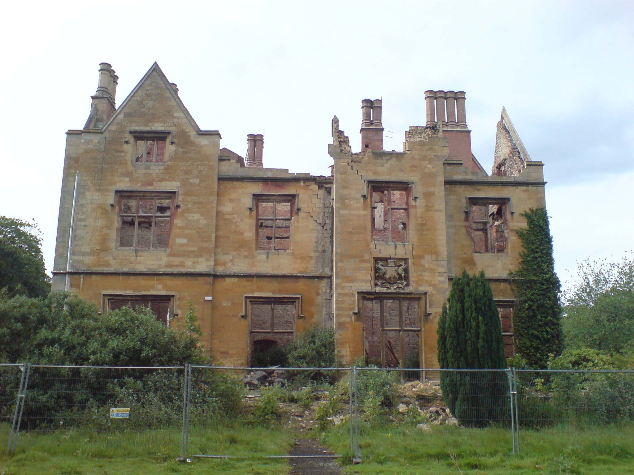
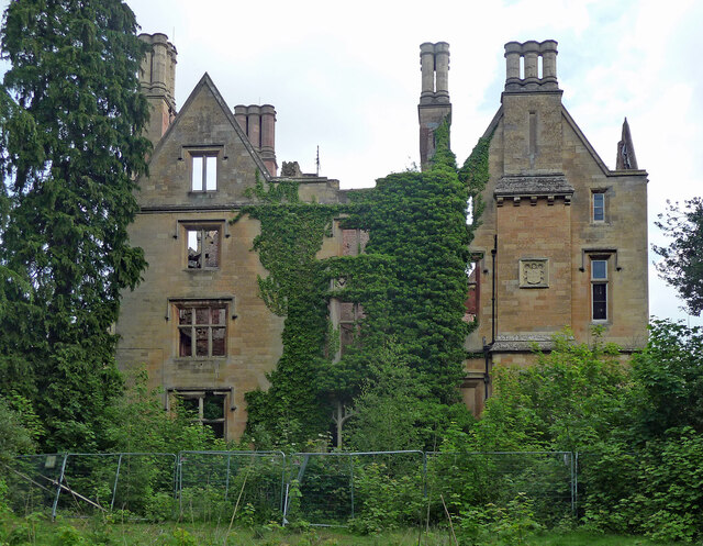
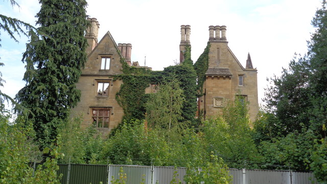
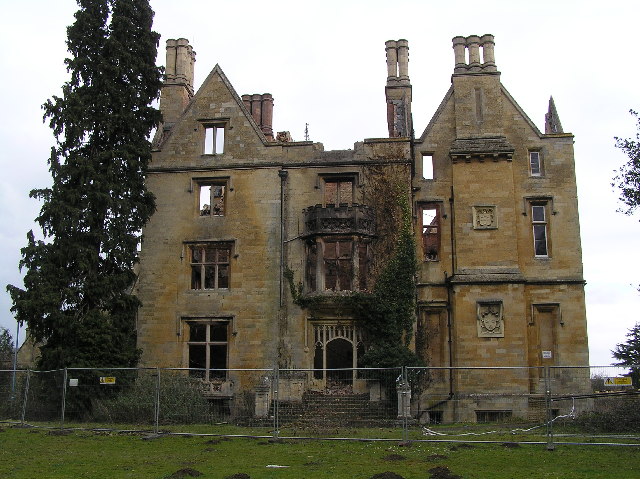
Nocton Hall

Nocton Hall is a historic Grade II listed building in the village of Nocton, in Lincolnshire, England. The plaque on the north face of the Hall (see below...

Lincolnshire potato railways

The Lincolnshire potato railways were a network of private, 1 ft 11+1⁄2 in (597 mm) narrow gauge farm railways which existed in the English county of Lincolnshire...

Nocton

Nocton is a village and civil parish in the North Kesteven district of Lincolnshire, England. It is situated on the B1202 road, 7 miles (11 km) south-east...

Nocton and Dunston railway station

Nocton and Dunston railway station served Nocton and Dunston in Lincolnshire which shared a GNR/GER Joint railway station until it was closed for passengers...
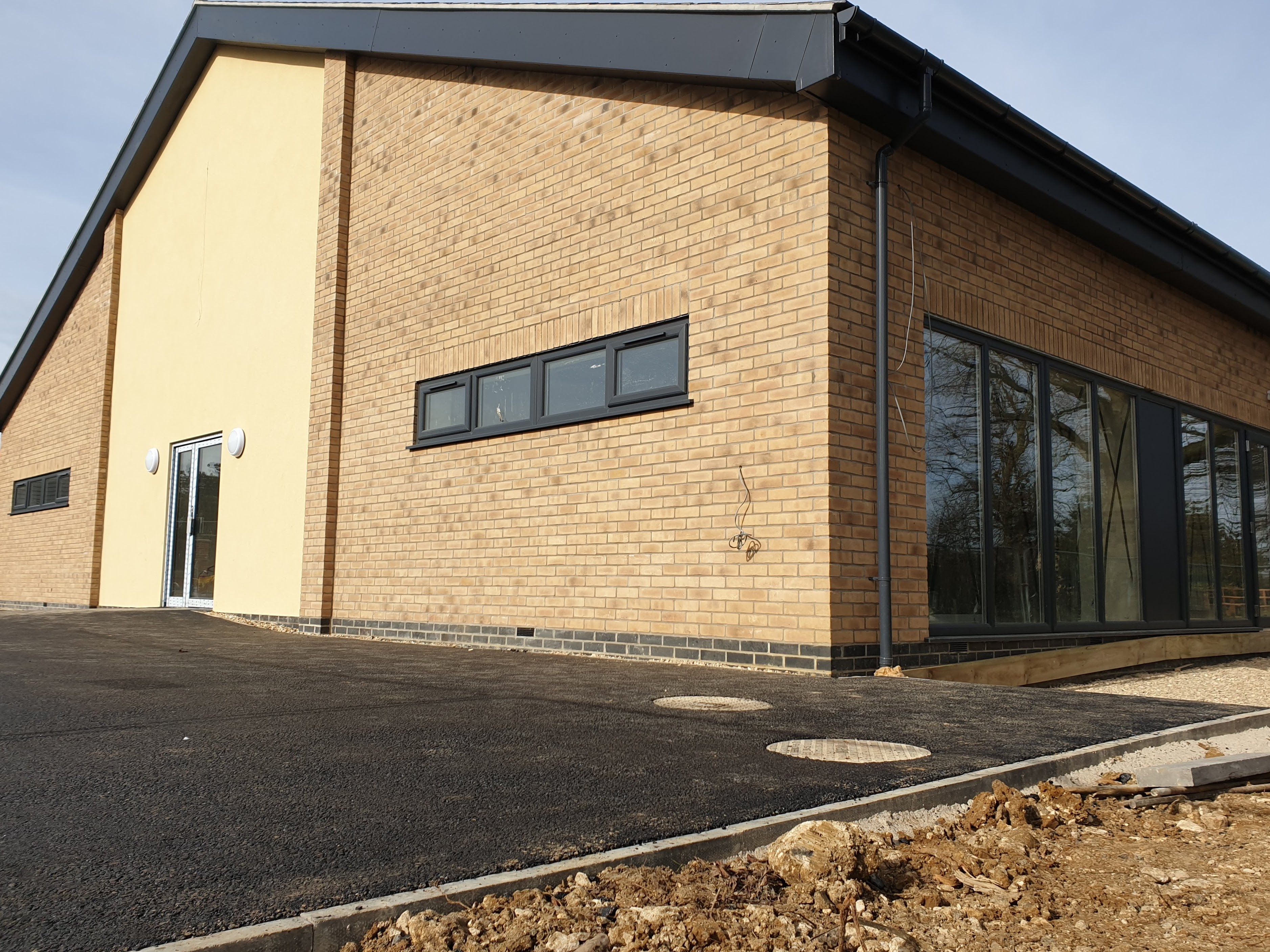
Nocton Hub

Nocton Hub in Nocton, Lincolnshire, England was built in 2019-2020 as a community-owned and operated building to replace the previous village hall that...

Nocton rail crash

The Nocton rail crash was a rail accident that happened on 28 February 2002 near Nocton, Lincolnshire, England, after a vehicle smashed through a wall...

Nearby Amenities

Located within 500m of 53.157412,-0.399933
Barrier: kissing_gate
Foot: yes
Lat/Long: 53.1552741/-0.4023618
Barrier: kissing_gate
Foot: yes
Lat/Long: 53.154512/-0.4026582
Mill Cottage
Place: isolated_dwelling
Source: Bing
Lat/Long: 53.1556044/-0.3969353
Millfield
Place: locality
Source: Bing
Lat/Long: 53.1538959/-0.3968141
Generator Method: photovoltaic
Generator Output Electricity: yes
Generator Source: solar
Generator Type: solar_photovoltaic_panel
Location: roof
Power: generator
Lat/Long: 53.1536542/-0.4028316
Generator Method: photovoltaic
Generator Output Electricity: yes
Generator Source: solar
Generator Type: solar_photovoltaic_panel
Location: roof
Power: generator
Lat/Long: 53.1536647/-0.4027592
Generator Method: photovoltaic
Generator Output Electricity: yes
Generator Source: solar
Generator Type: solar_photovoltaic_panel
Location: roof
Power: generator
Lat/Long: 53.1537025/-0.4037851
Generator Method: photovoltaic
Generator Output Electricity: yes
Generator Source: solar
Generator Type: solar_photovoltaic_panel
Location: roof
Power: generator
Lat/Long: 53.1537499/-0.4034995
Generator Method: photovoltaic
Generator Output Electricity: yes
Generator Source: solar
Generator Type: solar_photovoltaic_panel
Location: roof
Power: generator
Lat/Long: 53.1537668/-0.4032728
Generator Method: photovoltaic
Generator Output Electricity: yes
Generator Source: solar
Generator Type: solar_photovoltaic_panel
Location: roof
Power: generator
Lat/Long: 53.1536389/-0.4022643
The data included in this document is from www.openstreetmap.org. The data is made available under ODbL.

Have you been to Dunston?

Leave your review of Dunston below (or comments, questions and feedback).