Commonclose Plantation

Wood, Forest in Norfolk South Norfolk

England

Commonclose Plantation

The A47 west approaching junction with A140
The A47 west approaching junction with A140 Credit: Roy Hughes

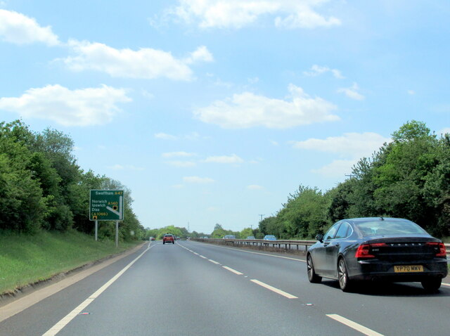
Commonclose Plantation is a picturesque woodland area located in Norfolk, England. Covering an extensive area of approximately 50 acres, this plantation is a popular destination for nature enthusiasts and outdoor enthusiasts alike. The plantation is situated in close proximity to the village of Norfolk, making it easily accessible for visitors.

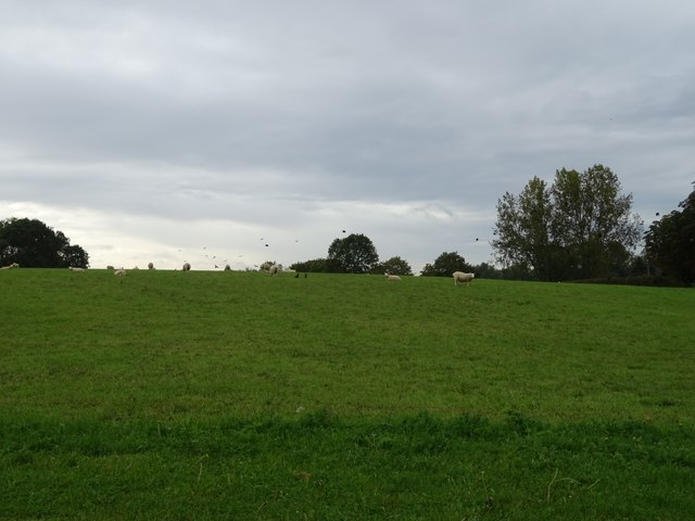
This woodland is characterized by its diverse range of tree species, including oak, beech, and silver birch. The lush vegetation provides a habitat for a wide variety of wildlife, making it an ideal location for birdwatchers and nature photographers. Visitors can expect to spot various bird species, including woodpeckers, jays, and nuthatches, as well as small mammals like squirrels and rabbits.

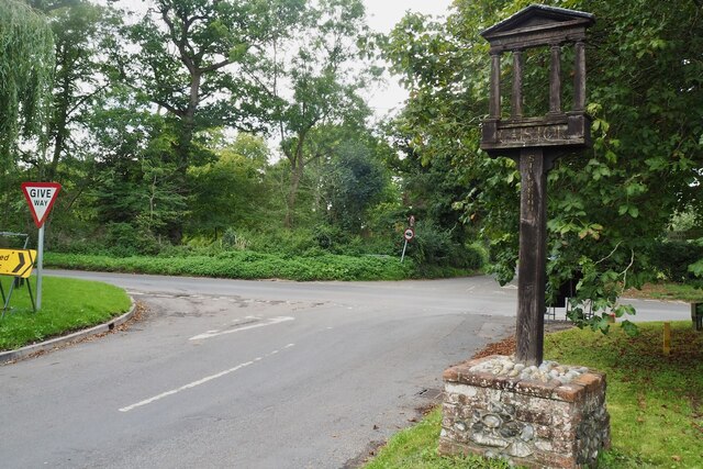
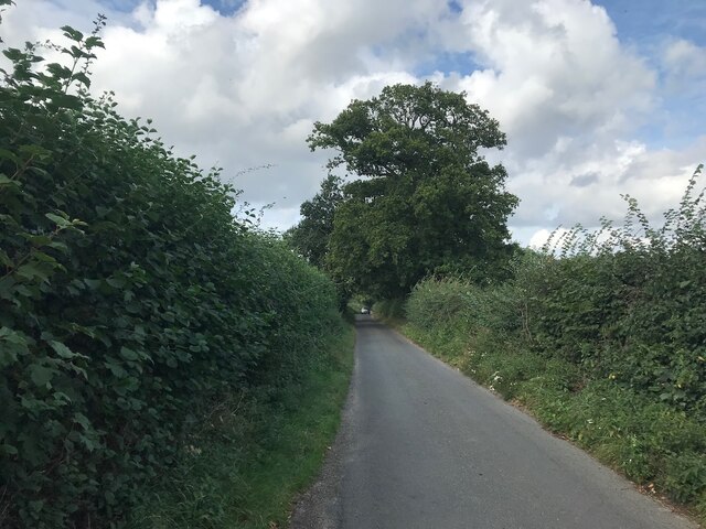
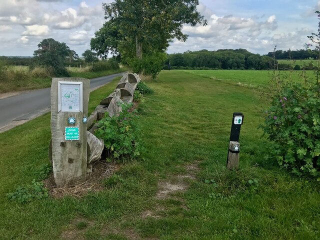
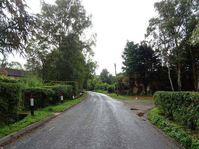
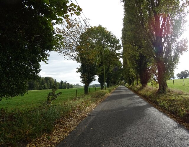
The plantation offers a network of well-maintained walking trails, allowing visitors to explore the woodland at their own pace. These trails wind through the plantation, offering breathtaking views of the surrounding countryside. Additionally, there are designated picnic areas where visitors can relax and enjoy a meal amidst the tranquil surroundings.

Commonclose Plantation is also known for its historical significance. It has been suggested that the plantation dates back several centuries, with remnants of ancient boundary banks and ditches still visible today. This adds an intriguing aspect to the woodland, allowing visitors to immerse themselves in the rich history of the area.

Overall, Commonclose Plantation is a captivating woodland that offers a peaceful escape from the hustle and bustle of everyday life. With its diverse flora and fauna, well-maintained trails, and historical significance, it is a must-visit destination for nature lovers and history enthusiasts in Norfolk.

If you have any feedback on the listing, please let us know in the comments section below.

Commonclose Plantation Images

Images are sourced within 2km of 52.572483/1.2886194 or Grid Reference TG2202. Thanks to Geograph Open Source API. All images are credited.

The A47 west approaching junction with A140
Keswick: A47 bridge over the Ipswich Road roundabout
Road junction at Caistor St Edmund With a rather dull village sign see <a href="https://www.geograph.org.uk/photo/6797396">TG2303 : Caistor St Edmund village sign</a>
Road junction at Caistor St Edmund
With a rather dull village sign see TG2303 : Caistor St Edmund village sign
Chandler Road Looking more like a lane.
Chandler Road
Looking more like a lane.
Concessionary path next to Wash Lane Part of a network of paths around High Ash Farm <span class="nowrap"><a title="https://www.highashfarm.com/_files/ugd/fff082_d6472f8475a545759d5d20b6c1ecc567.pdf" rel="nofollow ugc noopener" href="https://www.highashfarm.com/_files/ugd/fff082_d6472f8475a545759d5d20b6c1ecc567.pdf">Link</a><img style="margin-left:2px;" alt="External link" title="External link - shift click to open in new window" src="https://s1.geograph.org.uk/img/external.png" width="10" height="10"/></span>.
Concessionary path next to Wash Lane
Part of a network of paths around High Ash Farm LinkExternal link.
Grazing beside Foxes' Grove
Caistor Lane, Caistor St Edmund
Heading east on Caistor Lane
Grazing towards Broken Back Plantation
Caistor Lane towards Poringland
Grazing and woodland, Caistor St Edmund
Field off Chandler Road
Chandler Road Boudicca Way footpath.
Chandler Road
Boudicca Way footpath.
Sheep grazing, Halfway House
Minor road junction, Halfway House
Entering Stoke Holy Cross On Norwich Road.
Entering Stoke Holy Cross
On Norwich Road.
The Wildebeest public house
Cottages, Stoke Holy Cross
Show me another place!

Commonclose Plantation is located at Grid Ref: TG2202 (Lat: 52.572483, Lng: 1.2886194)

Administrative County: Norfolk

District: South Norfolk

Police Authority: Norfolk

What 3 Words

///crops.surfacing.honestly. Near Mulbarton, Norfolk

Related Wikis

Dunston Common

Dunston Common is a 3.8-hectare (9.4-acre) Local Nature Reserve south of Norwich in Norfolk. It is owned and managed by South Norfolk District Council...

Stoke Holy Cross

Stoke Holy Cross is a village in South Norfolk which lies approximately 4 miles (6.4 km) south of Norwich. == Geography == Stoke sits on the River Tas...

Venta Icenorum

Venta Icenorum (Classical Latin: [ˈwɛnta ɪkeːˈnoːrũː], literally "marketplace of the Iceni") was the civitas or capital of the Iceni tribe, located at...

Swainsthorpe railway station

Swainsthorpe was a railway station in Swainsthorpe, England, around five miles south of Norwich. It was opened in 1850 when the Great Eastern Railway constructed...

Swainsthorpe

Swainsthorpe is a village in Norfolk, England. It lies on the A140 road, approximately 5 miles south of Norwich, and just north of Newton Flotman. It covers...

Caistor St Edmund

Caistor St Edmund is a village and former civil parish on the River Tas, now in the parish of Caistor St Edmund and Bixley, in the South Norfolk district...

Norwich CEYMS F.C.

Norwich Church of England Young Men's Society Football Club, commonly called Norwich CEYMS, is a football club based in Swardeston, near Norwich, in Norfolk...

Swardeston

Swardeston is a village four miles (6 km) south of Norwich in Norfolk, England, on high ground above the Tas valley. It covers an area of 3.95 km2 (1.53...

Nearby Amenities

Located within 500m of 52.572483,1.2886194
Give Way
Lat/Long: 52.5711389/1.2819079
Bar
Bunkers Bar
Opening Hours: Mo-Su 08:00-dusk
Lat/Long: 52.5709956/1.2838945
Restaurant
Bunkers
Opening Hours: 08:00-18:00
Lat/Long: 52.5710741/1.2837138
Bar
Garden Terrace Bar
Opening Hours: 12:00-22:00
Lat/Long: 52.5706787/1.2830268
Restaurant
The Brasserie Restaurant
Cuisine: regional
Opening Hours: Mo-Fr 06:30-10:00,18:30-22:00; Sa,PH 06:30-11:00,18:30-22:00; Su 06:30-11:00,12:30-15:00,18:30-22:00
Phone: +44 1508 473830
Lat/Long: 52.5704624/1.28265
Bar
The Brasserie Bar
Lat/Long: 52.5705633/1.2827615
Entrance: main
Lat/Long: 52.5707609/1.2828397
Fountain
Lat/Long: 52.5708763/1.2826018
Restaurant
La Fontaine Restaurant
Opening Hours: Fr-Sa evening
Lat/Long: 52.5709916/1.2831286
Bench
Backrest: yes
Material: wood
Seats: 3
Lat/Long: 52.5720801/1.287461
Bench
Backrest: yes
Material: wood
Seats: 3
Lat/Long: 52.5721632/1.2875962
Entrance: main
Lat/Long: 52.5722738/1.2872077
Entrance: yes
Lat/Long: 52.5723553/1.2872062
Bench
Backrest: yes
Material: wood
Seats: 1
Lat/Long: 52.5753915/1.2848398
Leisure: playground
Lat/Long: 52.5754505/1.2850862
Bench
Backrest: yes
Material: plastic
Seats: 3
Lat/Long: 52.5750655/1.2846816
Bench
Backrest: yes
Material: wood
Seats: 3
Lat/Long: 52.5723636/1.2876306
Give Way
Lat/Long: 52.5713305/1.2828985
Charging Station
Tesla Destination Charger
Amperage: 24
Authentication None: yes
Capacity: 1
Car: yes
Fee: no
Opening Hours: 24/7
Operator: Dunston Hall
Phases: 3
Power: 16.56
Socket Tesla Destination: 1
Voltage: 230
Lat/Long: 52.5713856/1.2831259
Give Way
Lat/Long: 52.5713621/1.2815672
Bicycle Parking
Bicycle Parking: stands
Capacity: 8
Covered: no
Lat/Long: 52.5750949/1.2861327
Waste Basket
Waste: dog_excrement
Lat/Long: 52.574931/1.2858859
Waste Basket
Lat/Long: 52.5750582/1.2860655
Waste Basket
Lat/Long: 52.5750044/1.2859006
Bench
Lat/Long: 52.575046/1.2857435
Bicycle Parking
Bicycle Parking: stands
Capacity: 2
Covered: no
Lat/Long: 52.5750464/1.2859895
Waste Basket
Lat/Long: 52.5751002/1.2858581
Ford: yes
Note: timbers in ditch to assist crossing, no bridge
Lat/Long: 52.5756895/1.2839858
Reception
Entrance: yes
Lat/Long: 52.570914/1.2828198
Give Way
Lat/Long: 52.5715616/1.2819536
Give Way
Lat/Long: 52.5714746/1.2829726
Charging Station
Amperage: 32
Authentication None: yes
Capacity: 1
Car: yes
Fee: no
Opening Hours: 24/7
Operator: Dunston Hall
Power: 7.36
Socket Type2: 1
Voltage: 230
Lat/Long: 52.5713815/1.2831235
Bench
Backrest: yes
Material: metal
Seats: 2
Lat/Long: 52.5756849/1.2850705
Power: pole
Lat/Long: 52.5767197/1.2900969
Power: pole
Lat/Long: 52.5758627/1.2907694
Power: pole
Lat/Long: 52.5749225/1.2912923
Power: pole
Lat/Long: 52.5740304/1.291398
Power: pole
Lat/Long: 52.5731496/1.2915089
Power: pole
Lat/Long: 52.5722268/1.2915829
Power: pole
Lat/Long: 52.5717075/1.2934971
Power: pole
Lat/Long: 52.5713769/1.2950816
Power: pole
Lat/Long: 52.5703375/1.2944229
Power: transformer
Lat/Long: 52.5725474/1.2960086
The data included in this document is from www.openstreetmap.org. The data is made available under ODbL.

Have you been to Commonclose Plantation?

Leave your review of Commonclose Plantation below (or comments, questions and feedback).