Archer's Grove
Wood, Forest in Norfolk Broadland
England
Archer's Grove
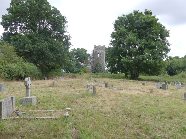
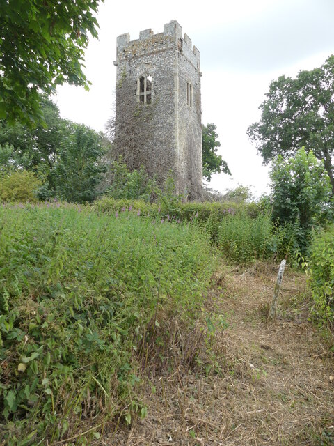
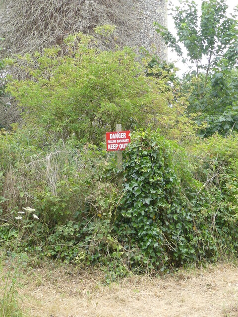
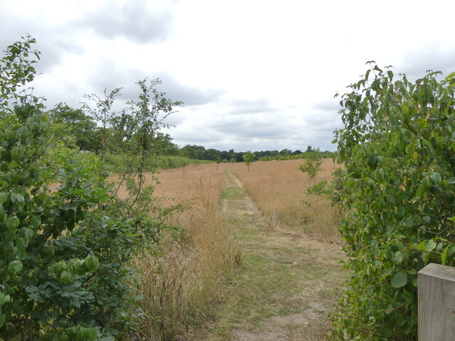
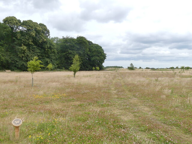
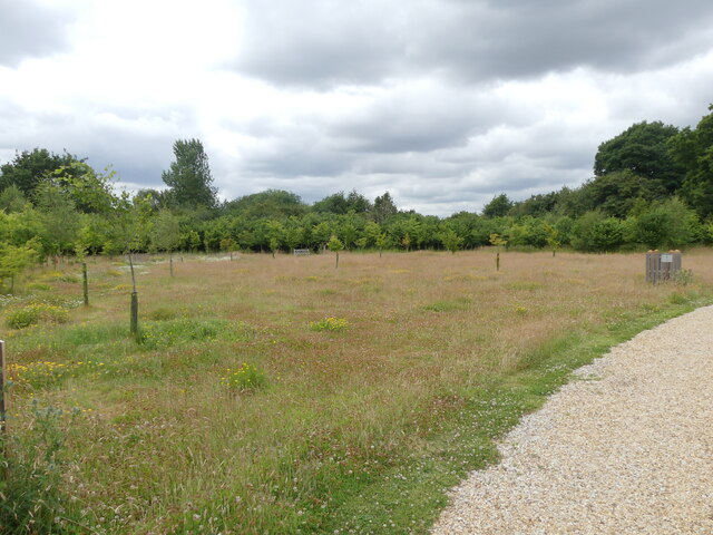
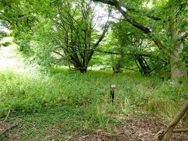
Archer's Grove, located in Norfolk, England, is a picturesque woodland area known for its natural beauty and historical significance. This stunning forest, also referred to as Archer's Grove Wood, covers an expansive area of approximately 200 acres.
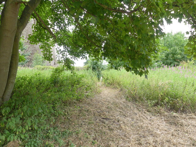
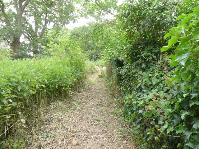
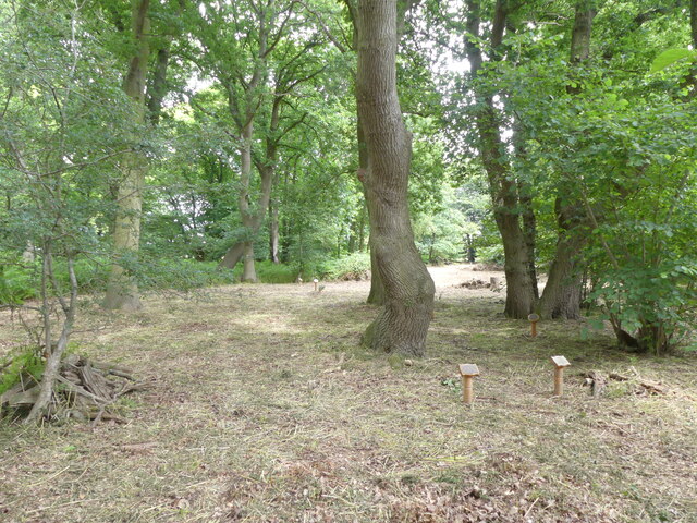
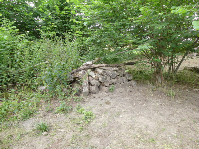
The grove is characterized by its diverse range of tree species, including towering oak, beech, and ash trees, which create a dense canopy overhead. The forest floor is adorned with a rich carpet of ferns, wildflowers, and mosses, adding to its enchanting appeal. The combination of sunlight filtering through the leaves and the tranquil atmosphere makes Archer's Grove a haven for nature lovers and hikers.
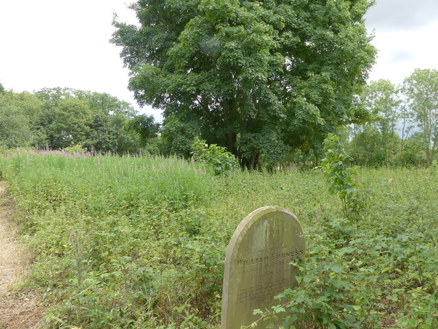
Beyond its natural allure, Archer's Grove holds historical significance. It is believed that the grove served as a hunting ground for archers during medieval times, hence its name. Archaeological evidence suggests that the area was inhabited as far back as the Iron Age, with remnants of ancient settlements and burial mounds discovered within the woodland.
The grove is also home to a wide variety of wildlife, including deer, foxes, badgers, and numerous bird species. It provides a vital habitat for these creatures, contributing to the overall biodiversity of the region.
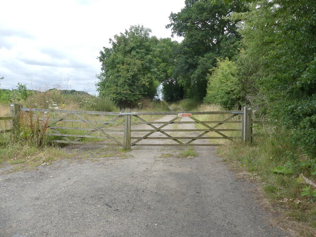
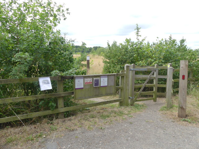
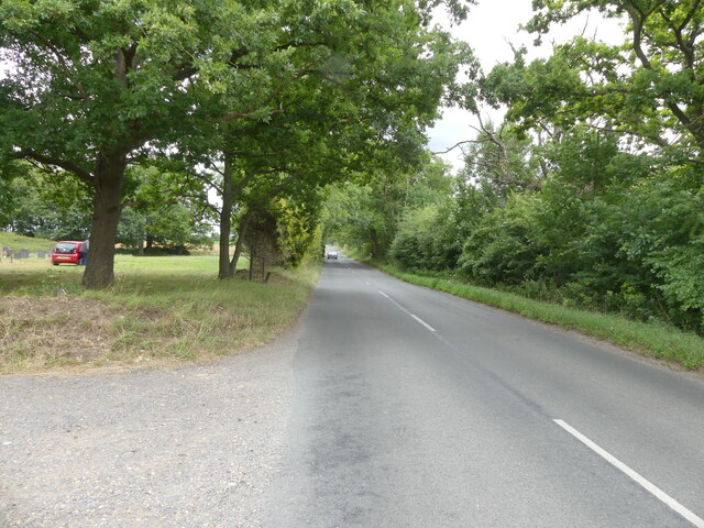
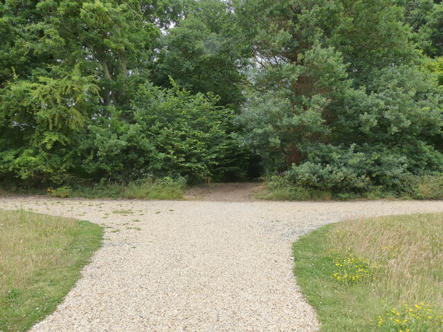
Archer's Grove is a popular destination for outdoor activities such as hiking, birdwatching, and photography. Its tranquil and unspoiled atmosphere offers visitors a chance to immerse themselves in nature and escape the hustle and bustle of everyday life. Whether exploring its winding trails or simply seeking solace in its serene ambiance, Archer's Grove is a treasure trove of natural wonders waiting to be discovered.
If you have any feedback on the listing, please let us know in the comments section below.
Archer's Grove Images
Images are sourced within 2km of 52.732048/1.289262 or Grid Reference TG2220. Thanks to Geograph Open Source API. All images are credited.
Archer's Grove is located at Grid Ref: TG2220 (Lat: 52.732048, Lng: 1.289262)
Administrative County: Norfolk
District: Broadland
Police Authority: Norfolk
What 3 Words
///detective.salads.slices. Near Buxton, Norfolk
Nearby Locations
Related Wikis

Stratton Strawless
Stratton Strawless is a village in the county of Norfolk and district of Broadland. The civil parish covers 714 acres (289 ha) and has a population of...

Hainford
Hainford (originally Haynford) is a village and civil parish in the English county of Norfolk. It covers an area of 6.94 km2 (2.68 sq mi) and had a population...

Buxton, Norfolk
Buxton is a village in the parish of Buxton with Lamas, in the Broadland district of the county of Norfolk, England. It is located between Norwich and...

St Faith's and Aylsham Rural District
St Faith's and Aylsham Rural Districts were adjacent rural districts in Norfolk, England from 1894 to 1935.They were formed under the Local Government...

Hevingham
Hevingham is a village and civil parish in the Broadland district of the English county of Norfolk. Situated between the A140 road Norwich to Cromer road...

Buxton Lamas railway station
Buxton Lamas was a railway station in Buxton with Lamas, Norfolk. It was located near the Bure Valley Railway's present Buxton station. == References ==

Buxton railway station (Norfolk)
Buxton railway station serves the village of Buxton in Norfolk and is served by the Bure Valley Railway.

Bure Valley Path
The Bure Valley Path is a 9-mile (14 km) long walking trail and cycling trail in Norfolk, England. It runs alongside the Bure Valley Railway, a heritage...
Have you been to Archer's Grove?
Leave your review of Archer's Grove below (or comments, questions and feedback).