Ash Grove
Wood, Forest in Norfolk Broadland
England
Ash Grove
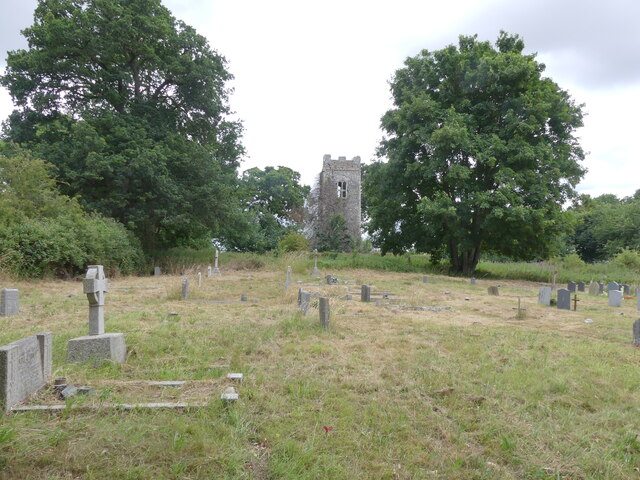
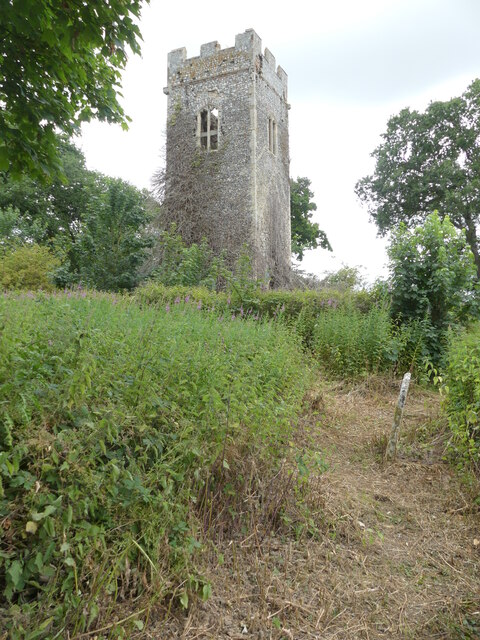
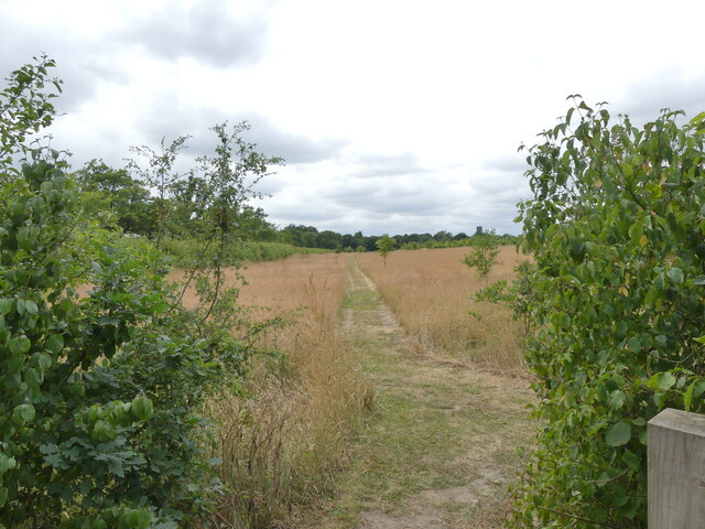
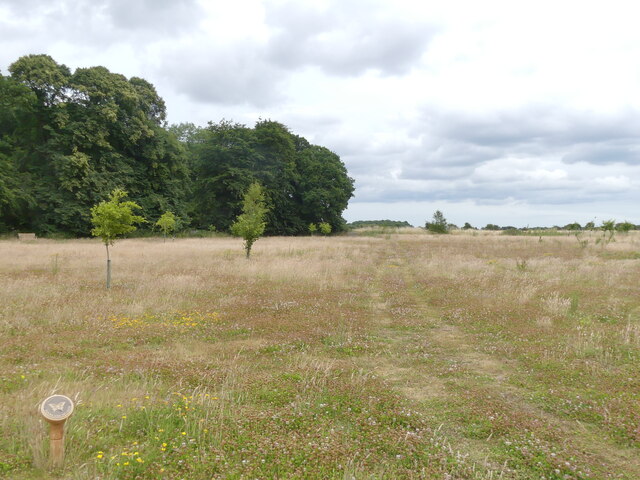
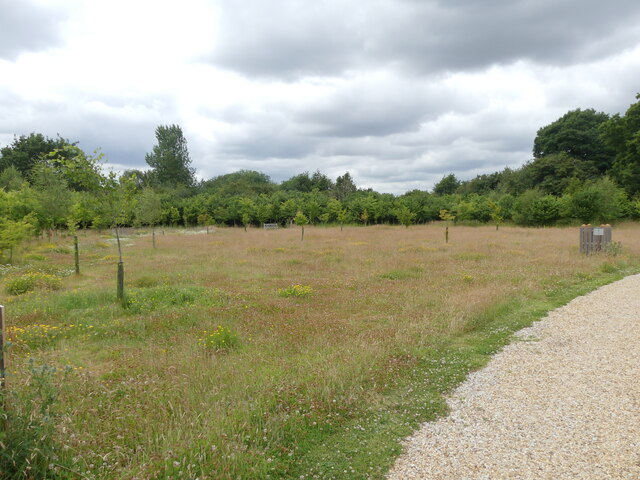
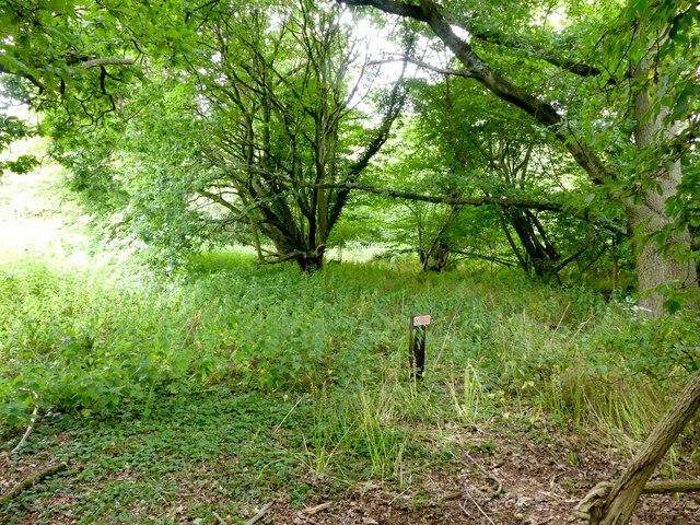
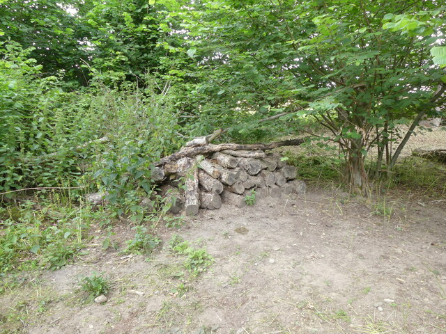
Ash Grove is a picturesque woodland located in Norfolk, England. Situated in the heart of the county, this enchanting forest offers a serene and tranquil escape from the bustling urban life. Spread over several acres, Ash Grove is a nature lover's paradise, boasting an extensive variety of trees, plants, and wildlife.
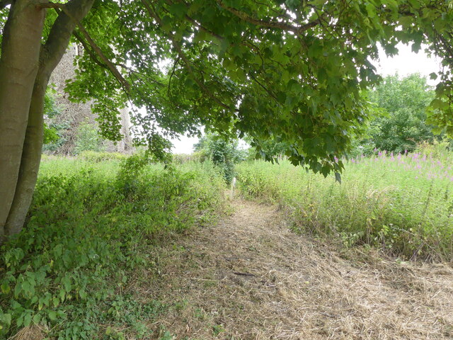
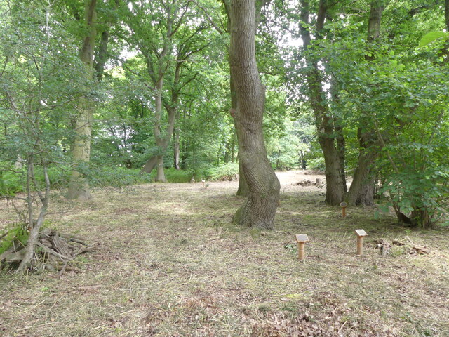
The woodland is predominantly comprised of ash trees, which lend it its name. These majestic trees create a dense canopy, providing a cool and shaded atmosphere even on the hottest of summer days. The forest floor is carpeted with a rich undergrowth of ferns, mosses, and wildflowers, adding to the area's natural charm.
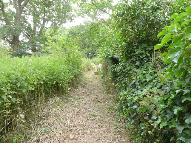
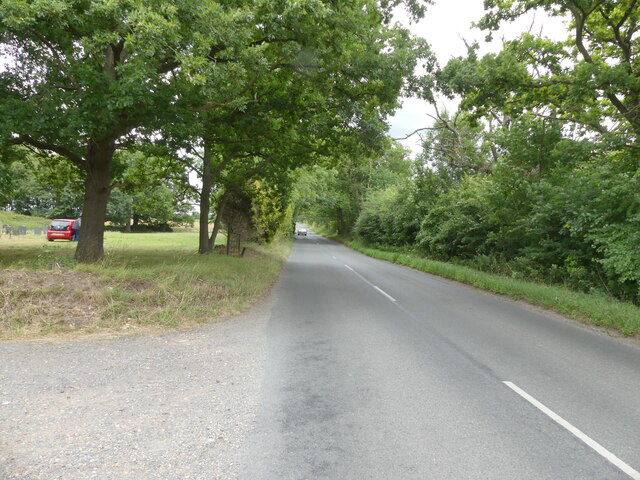
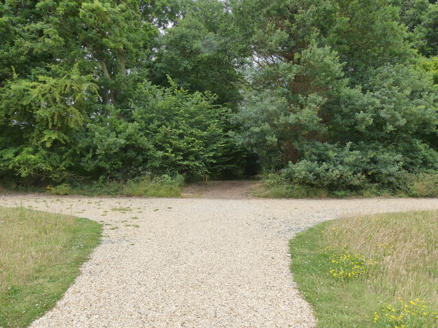
Numerous walking trails wind their way through Ash Grove, offering visitors the opportunity to explore its hidden treasures. These well-maintained paths guide adventurers through the forest, leading to secret clearings, babbling brooks, and hidden ponds. Along the way, nature enthusiasts can observe a wide range of wildlife, including squirrels, rabbits, and various species of birds.
Ash Grove is also home to a diverse array of flora. Bluebells, primroses, and wild garlic adorn the forest during the spring months, creating a breathtaking display of color and scent. In autumn, the trees transform into a vivid palette of reds, oranges, and golds, providing a truly magical experience.
Whether it's a leisurely stroll, a family picnic, or birdwatching, Ash Grove offers a peaceful haven where visitors can connect with nature. Its natural beauty and serene atmosphere make it a perfect destination for those seeking solace and rejuvenation in the heart of Norfolk's woodlands.
If you have any feedback on the listing, please let us know in the comments section below.
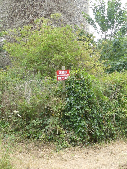
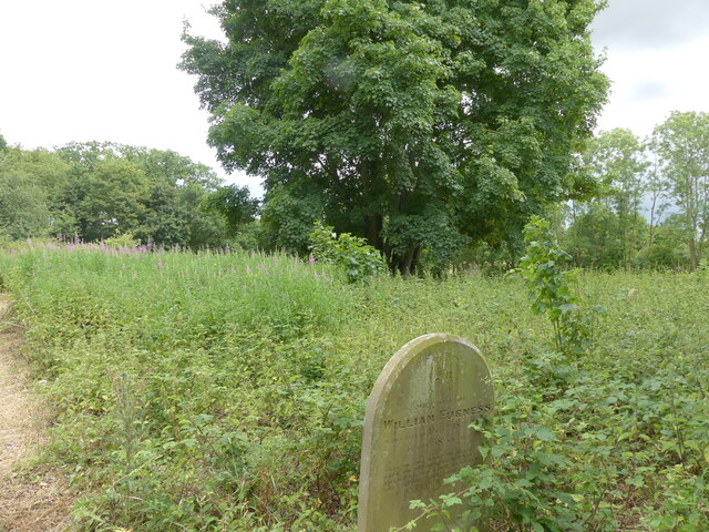
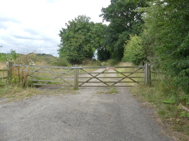
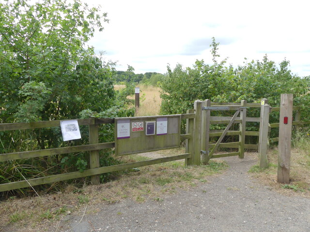
Ash Grove Images
Images are sourced within 2km of 52.739685/1.3008325 or Grid Reference TG2220. Thanks to Geograph Open Source API. All images are credited.
Ash Grove is located at Grid Ref: TG2220 (Lat: 52.739685, Lng: 1.3008325)
Administrative County: Norfolk
District: Broadland
Police Authority: Norfolk
What 3 Words
///mull.hence.laptops. Near Buxton, Norfolk
Nearby Locations
Related Wikis

Stratton Strawless
Stratton Strawless is a village in the county of Norfolk and district of Broadland. The civil parish covers 714 acres (289 ha) and has a population of...

Buxton, Norfolk
Buxton is a village in the parish of Buxton with Lamas, in the Broadland district of the county of Norfolk, England. It is located between Norwich and...

Buxton Lamas railway station
Buxton Lamas was a railway station in Buxton with Lamas, Norfolk. It was located near the Bure Valley Railway's present Buxton station. == References ==

Hainford
Hainford (originally Haynford) is a village and civil parish in the English county of Norfolk. It covers an area of 6.94 km2 (2.68 sq mi) and had a population...

Buxton railway station (Norfolk)
Buxton railway station serves the village of Buxton in Norfolk and is served by the Bure Valley Railway.

Bure Valley Path
The Bure Valley Path is a 9-mile (14 km) long walking trail and cycling trail in Norfolk, England. It runs alongside the Bure Valley Railway, a heritage...

Buxton Watermill
Buxton Mill, is located on the River Bure about 0.5 miles (0.80 km) east of the village of Buxton, Norfolk, and is in the hamlet of Lamas, Norfolk. A watermill...

Horstead Hall
Horstead Hall was a country house in Norfolk that was demolished in the 1950s. The village of Horstead in the county of Norfolk is not short of country...
Have you been to Ash Grove?
Leave your review of Ash Grove below (or comments, questions and feedback).