Stratton Strawless

Settlement in Norfolk Broadland

England

Stratton Strawless

Graveyard of All saints Church Hainford now a ruin Ruined tower in background. The graveyard is still in use.
Graveyard of All saints Church Hainford now a ruin Credit: David Pashley

Stratton Strawless is a small village located in the county of Norfolk, England. Situated approximately 10 miles north of Norwich, it falls within the Broadland district. With a population of around 180 residents, it is considered a quaint and peaceful rural community.

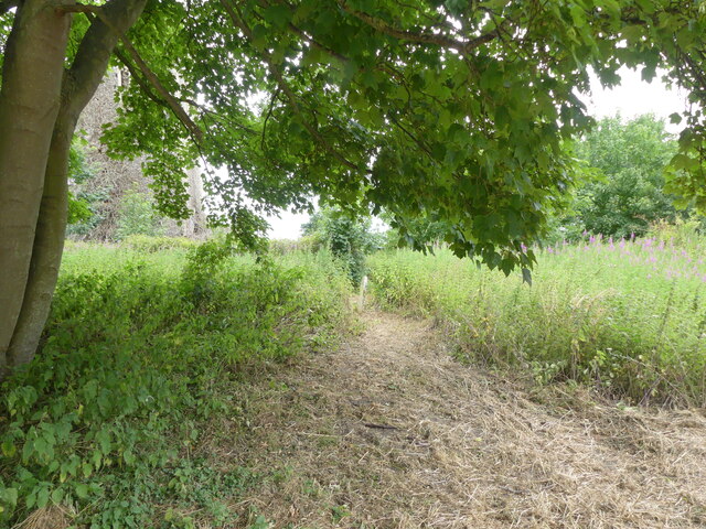
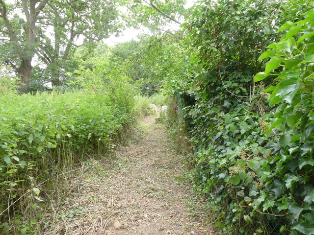
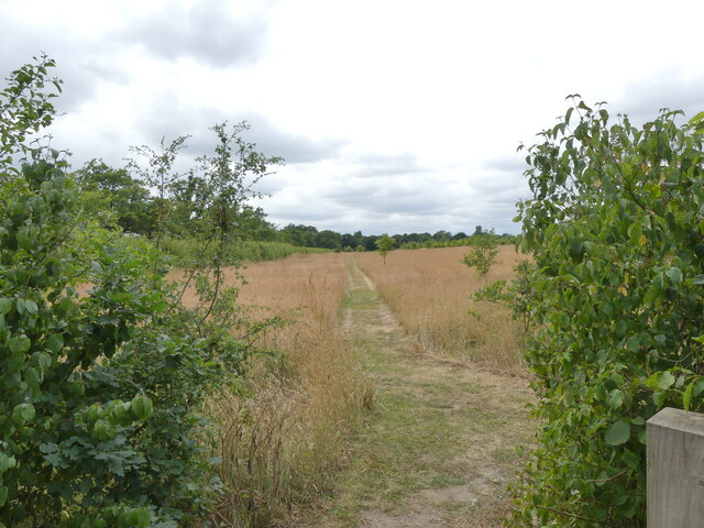
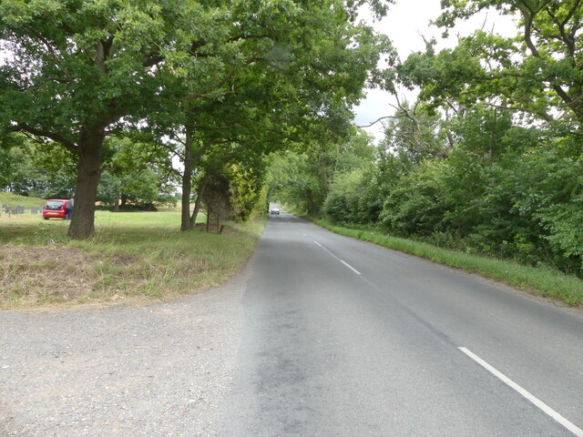
The village is known for its idyllic countryside setting, characterized by rolling fields, picturesque landscapes, and charming country cottages. It is surrounded by farmland, making agriculture an important sector of the local economy. The village itself is small, consisting of a scattering of residential properties, a few local businesses, and a village hall.

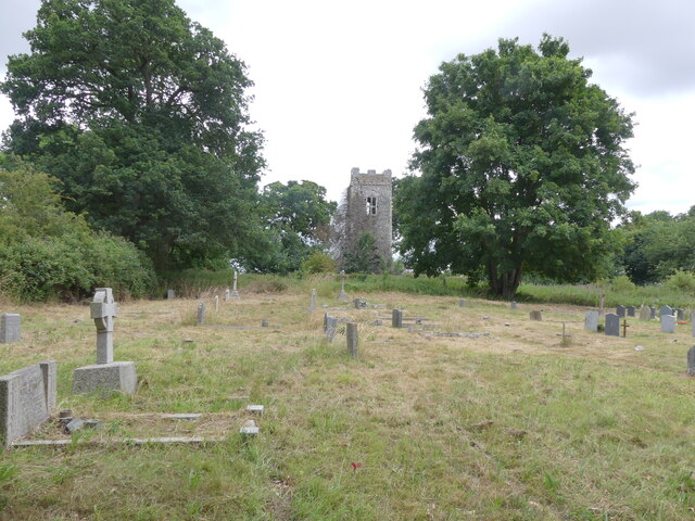
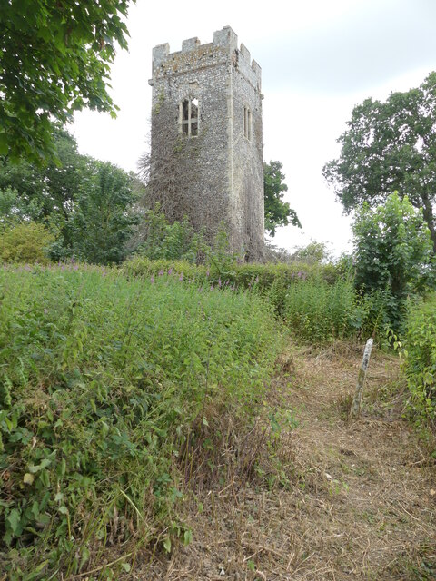
Historically, Stratton Strawless has roots dating back to the medieval period. It is believed that a church has stood in the village since the 12th century, and the current church, St. Margaret's, still retains some of its original Norman features. The village also has a pub, The Blue Boar, which has been serving locals and visitors for many years.

While Stratton Strawless may be small in size, it offers a close-knit and friendly community atmosphere. Residents enjoy the tranquility of the countryside while benefiting from its proximity to Norwich, which provides access to a wider range of amenities and services.

Overall, Stratton Strawless is a charming village that offers a peaceful escape from the bustle of city life, with its picturesque surroundings and close community ties.

If you have any feedback on the listing, please let us know in the comments section below.

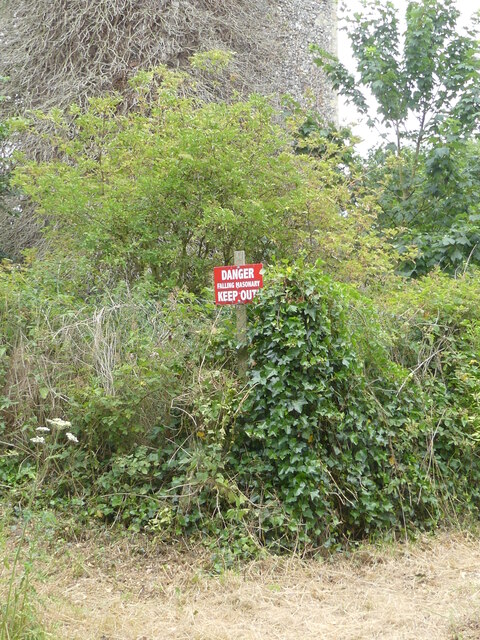
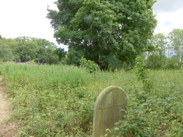
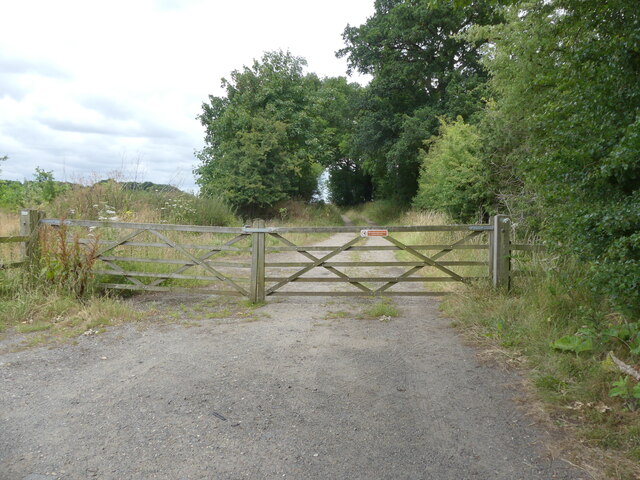
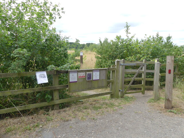
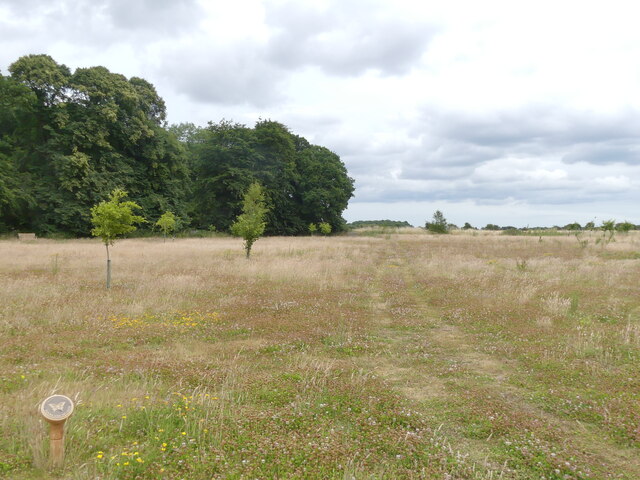
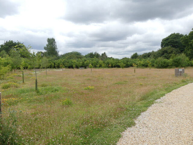
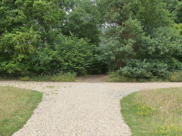
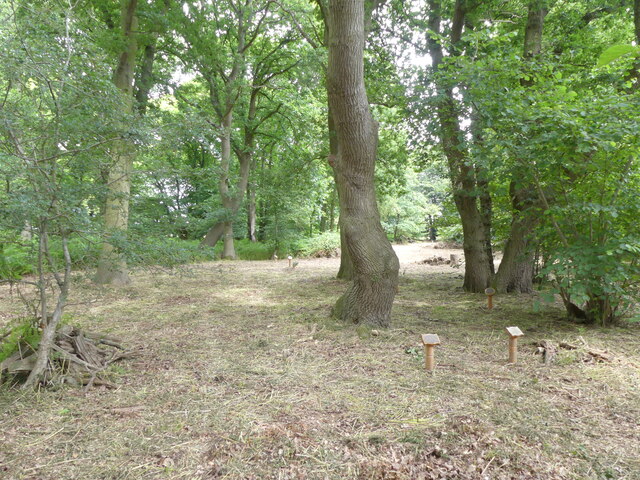
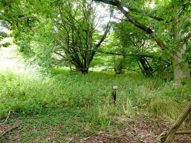
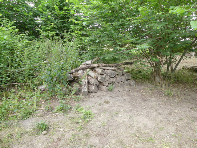
Stratton Strawless Images

Images are sourced within 2km of 52.737667/1.290173 or Grid Reference TG2220. Thanks to Geograph Open Source API. All images are credited.

Graveyard of All saints Church Hainford now a ruin Ruined tower in background. The graveyard is still in use.
Graveyard of All saints Church Hainford now a ruin
Ruined tower in background. The graveyard is still in use.
Path from part of churchyard to the ruined church Path through nettles has gravestones as obstacles
Path from part of churchyard to the ruined church
Path through nettles has gravestones as obstacles
Tower of ruined church as seen from path
Part of path round ruin of All Saints Church On the right vegetation has grown and hidden wire fence around site
Part of path round ruin of All Saints Church
On the right vegetation has grown and hidden wire fence around site
Danger falling masonary (sic) sign Falling masonary sign should read falling masonry. Spelling error on sign
Danger falling masonary (sic) sign
Falling masonary sign should read falling masonry. Spelling error on sign
Conservation area in churchyard
Locked gate on farm track
Pedestrian entrance to woodland burial site
Path through meadow at woodland burial site
Long straight on Old Church Road
Old Church Road a long straight
Sign for Bluebell Wood Burial Park
Woodland Meadow at Burial Park
Meadow with young oaks
Entrance to Bluebell Wood in Burial Park
Memorials under oak canopy
No entry wildlife area Bluebell Wood Burial Park
Wildlife log pile
Wildlife log pile
Show me another place!

Stratton Strawless is located at Grid Ref: TG2220 (Lat: 52.737667, Lng: 1.290173)

Administrative County: Norfolk

District: Broadland

Police Authority: Norfolk

What 3 Words

///blunt.thatched.yourself. Near Buxton, Norfolk

Related Wikis

Stratton Strawless

Stratton Strawless is a village in the county of Norfolk and district of Broadland. The civil parish covers 714 acres (289 ha) and has a population of...

Buxton, Norfolk

Buxton is a village in the parish of Buxton with Lamas, in the Broadland district of the county of Norfolk, England. It is located between Norwich and...

Hainford

Hainford (originally Haynford) is a village and civil parish in the English county of Norfolk. It covers an area of 6.94 km2 (2.68 sq mi) and had a population...

Hevingham

Hevingham is a village and civil parish in the Broadland district of the English county of Norfolk. Situated between the A140 road Norwich to Cromer road...

St Faith's and Aylsham Rural District

St Faith's and Aylsham Rural Districts were adjacent rural districts in Norfolk, England from 1894 to 1935.They were formed under the Local Government...

Buxton Lamas railway station

Buxton Lamas was a railway station in Buxton with Lamas, Norfolk. It was located near the Bure Valley Railway's present Buxton station. == References ==

Buxton railway station (Norfolk)

Buxton railway station serves the village of Buxton in Norfolk and is served by the Bure Valley Railway.

Bure Valley Path

The Bure Valley Path is a 9-mile (14 km) long walking trail and cycling trail in Norfolk, England. It runs alongside the Bure Valley Railway, a heritage...

Nearby Amenities

Located within 500m of 52.737667,1.290173
Bus Stop
Village Hall, opp
Naptan AtcoCode: 2900S552
Naptan Bearing: SW
Naptan CommonName: Village Hall
Naptan Indicator: opp
Naptan Landmark: Village Hall
Naptan Locality: Stratton Strawless
Naptan NaptanCode: nfodwdat
Naptan Street: Parish Road
Naptan Verified: no
Source: naptan_import
Lat/Long: 52.7372143/1.2857059
Bus Stop
Village Hall, adj
Naptan AtcoCode: 2900S553
Naptan Bearing: NE
Naptan CommonName: Village Hall
Naptan Indicator: adj
Naptan Landmark: Village Hall
Naptan Locality: Stratton Strawless
Naptan NaptanCode: nfodwdaw
Naptan Street: Parish Road
Naptan Verified: no
Source: naptan_import
Lat/Long: 52.737346/1.2858712
Give Way
Lat/Long: 52.7369627/1.290312
Stratton Strawless
Place: village
Wikidata: Q2318905
Wikipedia: en:Stratton Strawless
Lat/Long: 52.737526/1.2904123
Entrance: yes
Lat/Long: 52.7389152/1.2894216
Entrance: yes
Lat/Long: 52.7388953/1.2897105
Entrance: main
Lat/Long: 52.7388006/1.2894742
Give Way
Lat/Long: 52.7376859/1.2901047
Stratton Strawless
Man Made: village_sign
Material: metal
Lat/Long: 52.7373619/1.2858825
Access: delivery
Entrance: yes
Wheelchair: no
Lat/Long: 52.7374113/1.285712
Entrance: main
Wheelchair: yes
Lat/Long: 52.7374259/1.2858379
Bench
Backrest: yes
Material: wood
Seats: 2
Lat/Long: 52.7374354/1.2859455
Bench
Backrest: yes
Material: wood
Seats: 2
Lat/Long: 52.7375275/1.2860911
Board Type: map
Description: Parish footpaths.
Information: board
Tourism: information
Lat/Long: 52.7374362/1.2855291
Bench
Backrest: yes
Material: wood
Seats: 3
Lat/Long: 52.7391068/1.2894908
Post Box
Operator: Royal Mail
Post Box Type: pillar
Lat/Long: 52.7374122/1.2855479
The data included in this document is from www.openstreetmap.org. The data is made available under ODbL.

Have you been to Stratton Strawless?

Leave your review of Stratton Strawless below (or comments, questions and feedback).