Freston

Settlement in Suffolk Babergh

England

Freston

Freston Tower A brick built towner probably dating from the 16th Century: <span class="nowrap"><a title="https://en.wikipedia.org/wiki/Freston_Tower" rel="nofollow ugc noopener" href="https://en.wikipedia.org/wiki/Freston_Tower">Link</a><img style="margin-left:2px;" alt="External link" title="External link - shift click to open in new window" src="https://s1.geograph.org.uk/img/external.png" width="10" height="10"/></span>. It now belongs to the Landmark Trust and can be rented as a holdiay home: <span class="nowrap"><a title="https://www.landmarktrust.org.uk/search-and-book/properties/freston-tower-7680/#Overview" rel="nofollow ugc noopener" href="https://www.landmarktrust.org.uk/search-and-book/properties/freston-tower-7680/#Overview">Link</a><img style="margin-left:2px;" alt="External link" title="External link - shift click to open in new window" src="https://s1.geograph.org.uk/img/external.png" width="10" height="10"/></span>
Freston Tower Credit: Chris Holifield

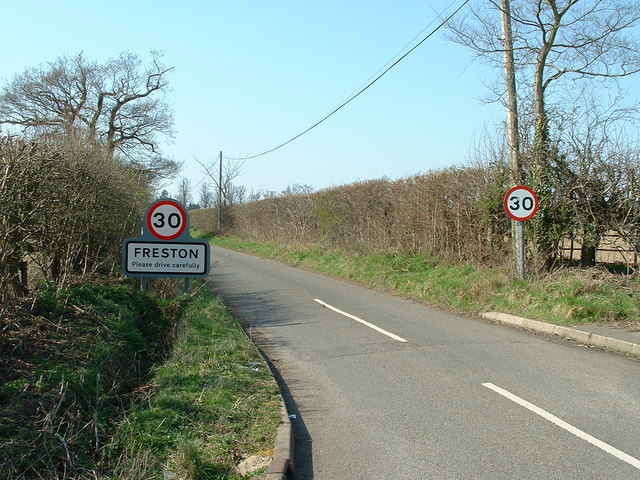
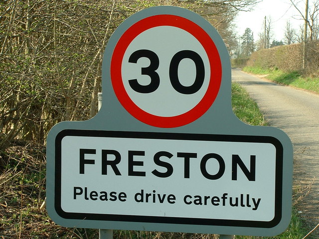
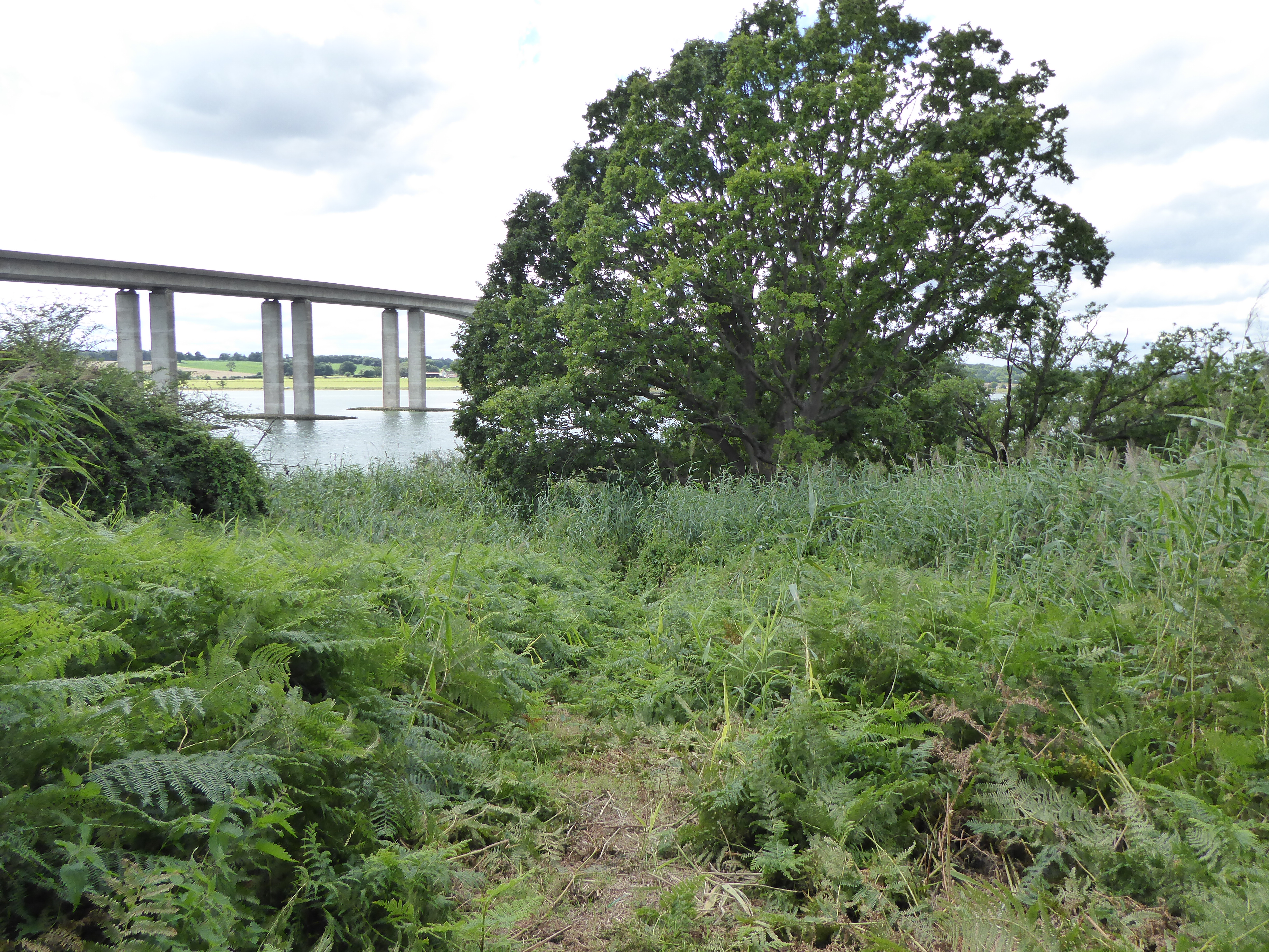
Freston is a small village located in the county of Suffolk, in East Anglia, England. Situated on the Shotley Peninsula, it lies on the banks of the River Orwell, offering picturesque views of the surrounding countryside. The village is conveniently located just five miles south of Ipswich, the county town of Suffolk.

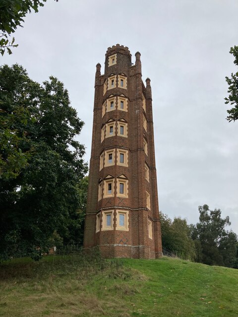
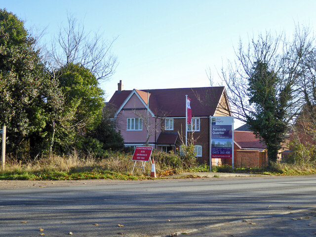
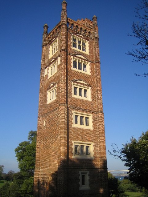
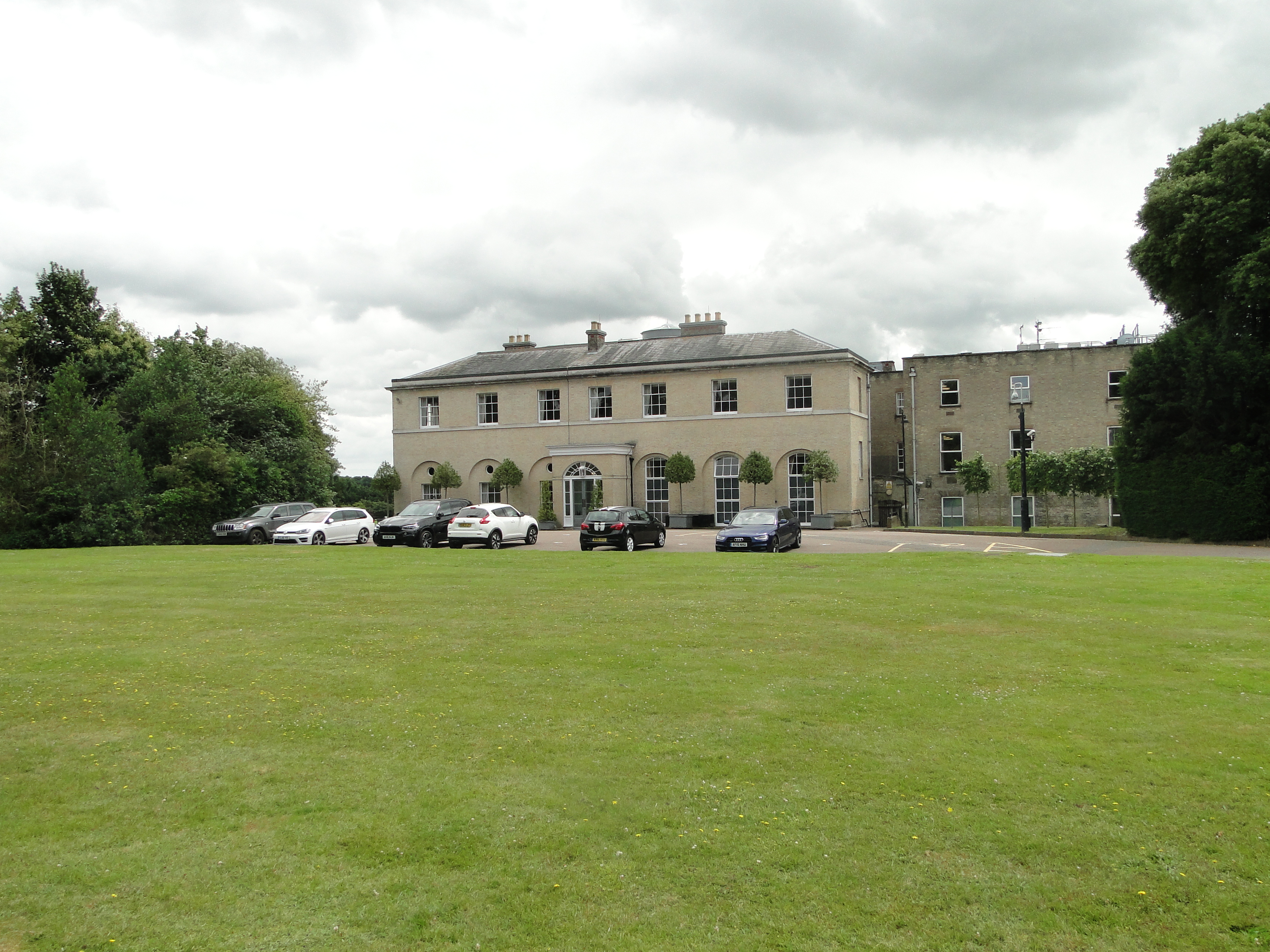
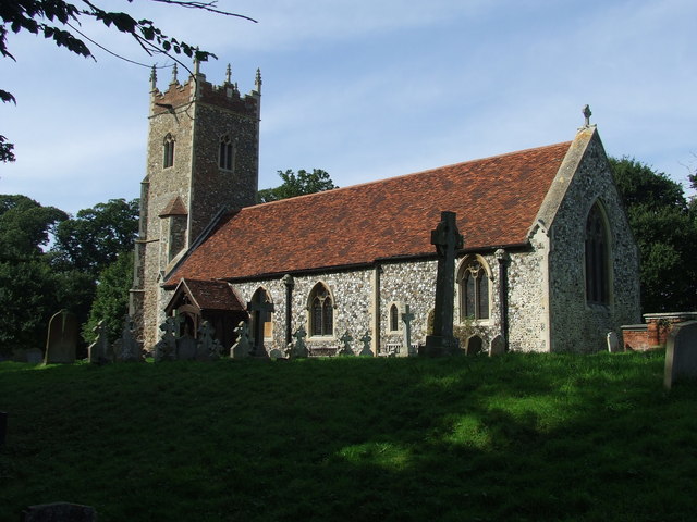
With a population of around 200 residents, Freston is known for its tranquil and rural atmosphere. The village is characterized by its charming mix of traditional cottages, historic buildings, and beautiful landscapes. Freston Church, dedicated to St. Peter, stands as a prominent feature in the village, displaying stunning medieval architecture.

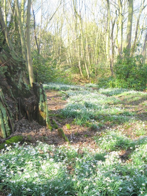
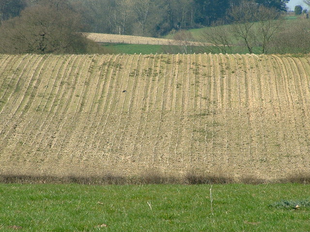
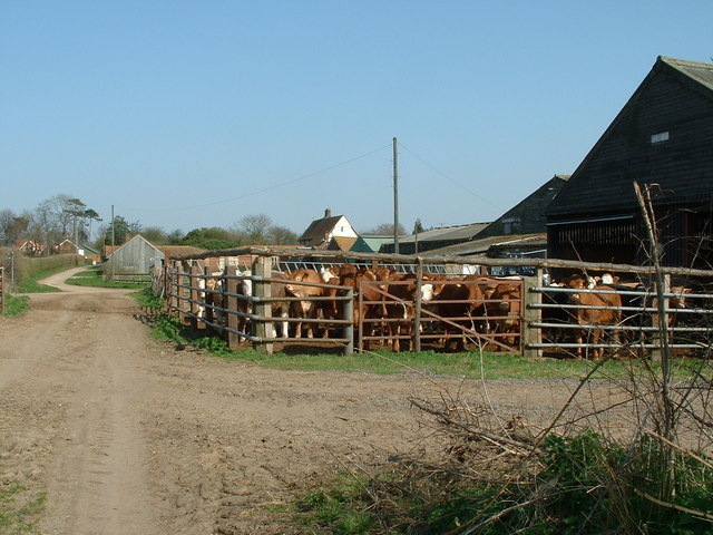
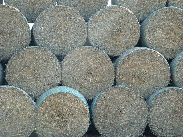
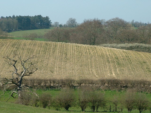
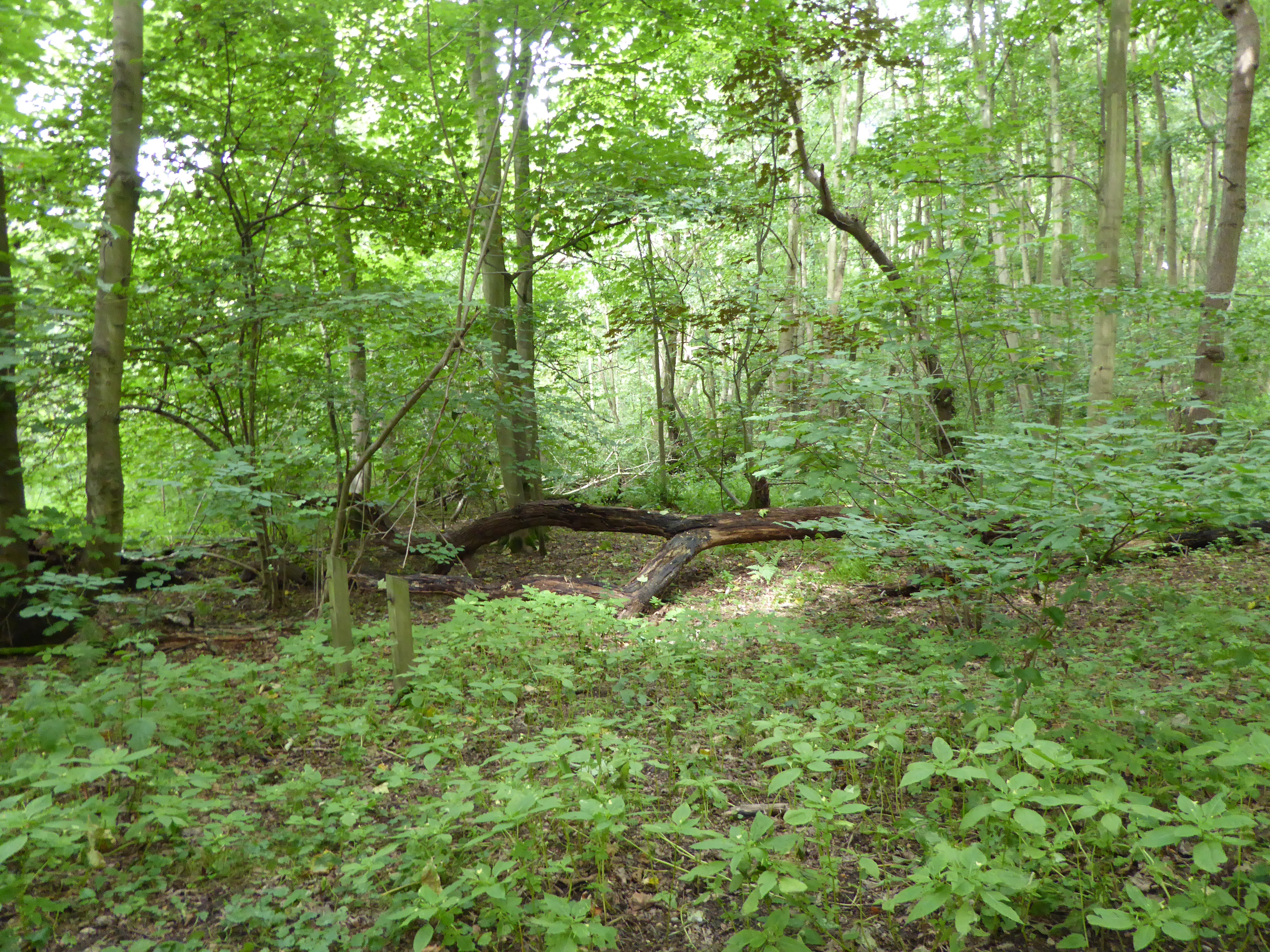
Nature enthusiasts can enjoy the scenic Freston Wood, an ancient woodland that provides a habitat for a variety of wildlife and offers peaceful walking trails. The village is also home to some farmland, with agricultural activities being an essential part of the local economy.

Freston is well-connected to the surrounding areas, with the A137 road passing nearby, providing easy access to Ipswich and other neighboring towns. Additionally, the village has a small marina, making it an attractive destination for boaters and sailing enthusiasts.

Although relatively small, Freston offers a sense of community and a peaceful way of life. Its idyllic setting, combined with its proximity to urban amenities, makes it an appealing place for those seeking a rural retreat within easy reach of larger towns and cities.

If you have any feedback on the listing, please let us know in the comments section below.
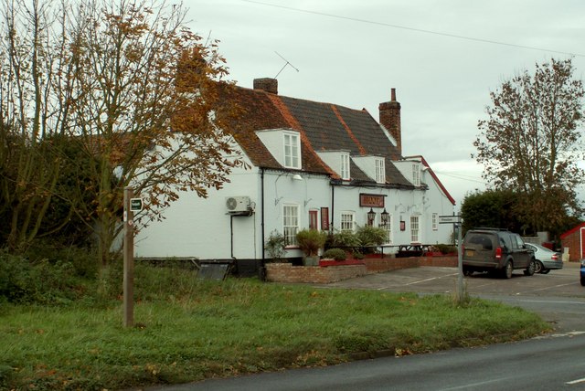
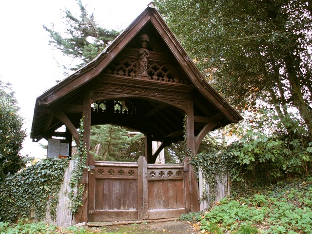
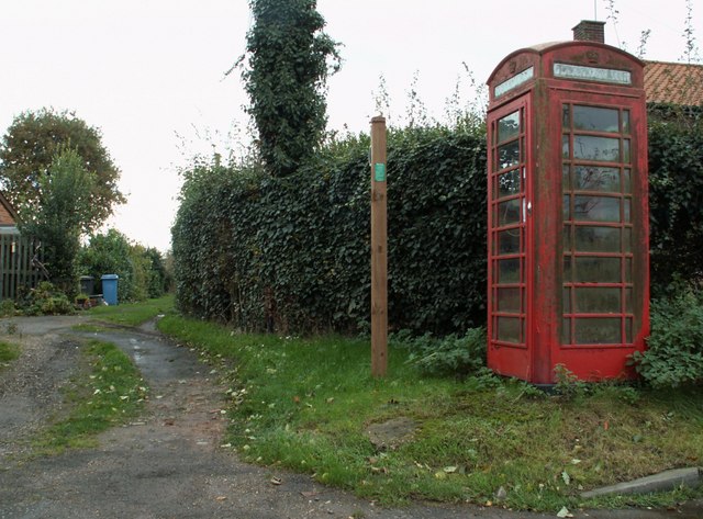
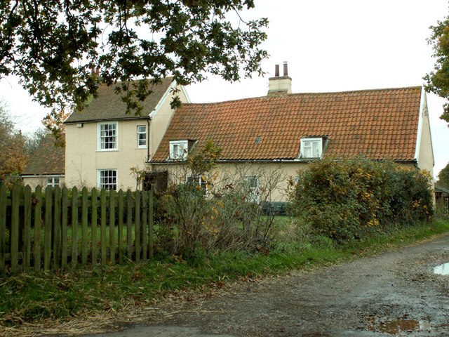
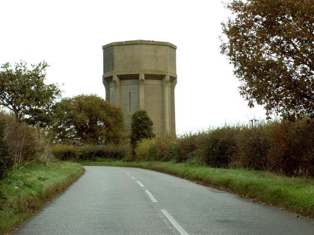
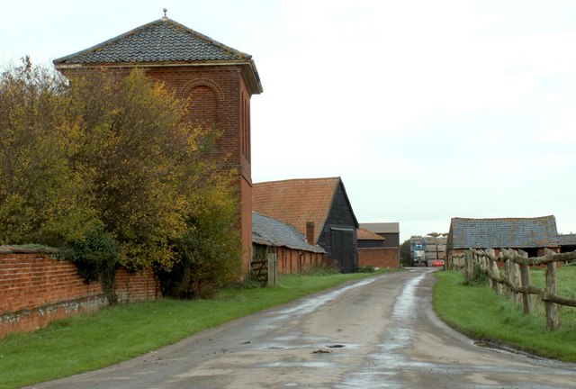
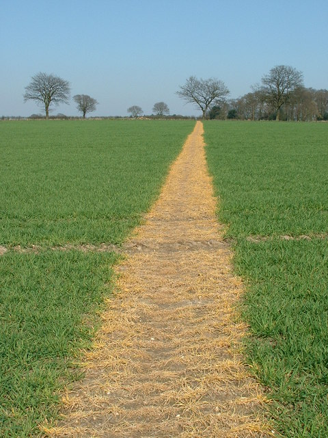
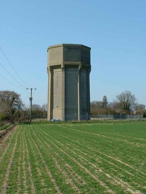
Freston Images

Images are sourced within 2km of 52.007554/1.159864 or Grid Reference TM1639. Thanks to Geograph Open Source API. All images are credited.

Freston Tower A brick built towner probably dating from the 16th Century: <span class="nowrap"><a title="https://en.wikipedia.org/wiki/Freston_Tower" rel="nofollow ugc noopener" href="https://en.wikipedia.org/wiki/Freston_Tower">Link</a><img style="margin-left:2px;" alt="External link" title="External link - shift click to open in new window" src="https://s1.geograph.org.uk/img/external.png" width="10" height="10"/></span>. It now belongs to the Landmark Trust and can be rented as a holdiay home: <span class="nowrap"><a title="https://www.landmarktrust.org.uk/search-and-book/properties/freston-tower-7680/#Overview" rel="nofollow ugc noopener" href="https://www.landmarktrust.org.uk/search-and-book/properties/freston-tower-7680/#Overview">Link</a><img style="margin-left:2px;" alt="External link" title="External link - shift click to open in new window" src="https://s1.geograph.org.uk/img/external.png" width="10" height="10"/></span>
Freston Tower
A brick built towner probably dating from the 16th Century: LinkExternal link. It now belongs to the Landmark Trust and can be rented as a holdiay home: LinkExternal link
Corner house, Admirals Quarter development, Holbrook At the time (2017), building was in hand, this corner was completed first.
Corner house, Admirals Quarter development, Holbrook
At the time (2017), building was in hand, this corner was completed first.
Freston Tower Freston Tower, owned by The Landmark Trust. We stayed there in October 2005!
Freston Tower
Freston Tower, owned by The Landmark Trust. We stayed there in October 2005!
Snowdrops in Woolverstone wood
'The Boot' inn at Freston, Suffolk This inn stands on Freston Hill on the B.1456
'The Boot' inn at Freston, Suffolk
This inn stands on Freston Hill on the B.1456
The Lych Gate to St. Peter's church, Freston, Suffolk
Phonebox and Public Footpath at Freston
Farmhouse at Potash Farm This farm stands by the B.1080 just north of Holbrook.
Farmhouse at Potash Farm
This farm stands by the B.1080 just north of Holbrook.
Water Tower alongside the B.1080
Home Farm
Home Farm
Follow The Yellow Path Reinstated footpath across farmland North West of Holbrook Suffolk.
Follow The Yellow Path
Reinstated footpath across farmland North West of Holbrook Suffolk.
Water Tower Water tower near to Woolverstone Suffolk.
Water Tower
Water tower near to Woolverstone Suffolk.
Please Drive Carefully Entrance sign to Freston just off the B1456 Suffolk.
Please Drive Carefully
Entrance sign to Freston just off the B1456 Suffolk.
Village Name And Speed Sign Village name and speed sign for Freston just off the B1456 Suffolk.
Village Name And Speed Sign
Village name and speed sign for Freston just off the B1456 Suffolk.
Distant Field View of distant field near to Freston, Suffolk.
Distant Field
View of distant field near to Freston, Suffolk.
Young Cattle Young cattle at Bond Hall Farm Freston Suffolk.
Young Cattle
Young cattle at Bond Hall Farm Freston Suffolk.
Round Bales Bales of straw Bond Hall Farm Freston Suffolk.
Round Bales
Bales of straw Bond Hall Farm Freston Suffolk.
Distant Field And Dead Tree View of distant field and dead tree near to Freston, Suffolk.
Distant Field And Dead Tree
View of distant field and dead tree near to Freston, Suffolk.
Show me another place!

Freston is located at Grid Ref: TM1639 (Lat: 52.007554, Lng: 1.159864)

Administrative County: Suffolk

District: Babergh

Police Authority: Suffolk

What 3 Words

///link.secret.depending. Near Holbrook, Suffolk

Nearby Locations

Freston Broom Knoll

Related Wikis

Nearby Amenities

Located within 500m of 52.007554,1.159864
Freston
Place: hamlet
Source Name: common knowledge
Wikidata: Q2571618
Wikipedia: en:Freston, Suffolk
Lat/Long: 52.0076649/1.1599088
Bus Stop
Freston Street
Local Ref: adj
Naptan AtcoCode: 390010534
Naptan Bearing: N
Naptan CommonName: Freston Street
Naptan Landmark: Freston Street
Naptan NaptanCode: sufagmwd
Naptan Street: Freston Hill
Naptan Verified: no
Public Transport: platform
Source: naptan_import
Lat/Long: 52.0067322/1.1657148
Bus Stop
Freston Street
Local Ref: opp
Naptan AtcoCode: 390010535
Naptan Bearing: S
Naptan BusStopType: CUS
Naptan CommonName: Freston Street
Naptan Landmark: Freston Street
Naptan NaptanCode: sufagmwg
Naptan Street: Freston Hill
Naptan Verified: no
Public Transport: platform
Source: naptan_import
Lat/Long: 52.0066307/1.1658096
Power: pole
Lat/Long: 52.0046222/1.1650829
Post Box
Collection Times: Mo-Fr 09:00, Sa 07:00
Operator: Royal Mail
Operator Type: private
Operator Wikidata: Q638098
Post Box Mounting: brick_wall
Post Box Type: wall
Ref: IP9 1217
Royal Cypher: EIIR
Royal Cypher Wikidata: Q33102113
Lat/Long: 52.0076851/1.1597532
Entrance: main
Lat/Long: 52.0071707/1.1608468
Bench
Backrest: yes
Material: wood
Lat/Long: 52.0115043/1.1619223
Public Bookcase
Booth: K6
Disused Amenity: telephone
Man Made: telephone_box
Public Bookcase Type: phone_box
Lat/Long: 52.0073997/1.1592231
Give Way
Lat/Long: 52.0060837/1.1653729
Give Way
Lat/Long: 52.0060714/1.165688
Give Way
Lat/Long: 52.0063719/1.1656035
The data included in this document is from www.openstreetmap.org. The data is made available under ODbL.

Have you been to Freston?

Leave your review of Freston below (or comments, questions and feedback).