Fressingfield

Settlement in Suffolk Mid Suffolk

England

Fressingfield

Fressingfield: Dale Road
Fressingfield: Dale Road Credit: Michael Garlick

Fressingfield is a charming village located in the county of Suffolk, England. Situated about 20 miles south of Norwich, it offers a picturesque countryside setting that is highly sought after by residents and visitors alike.

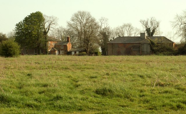
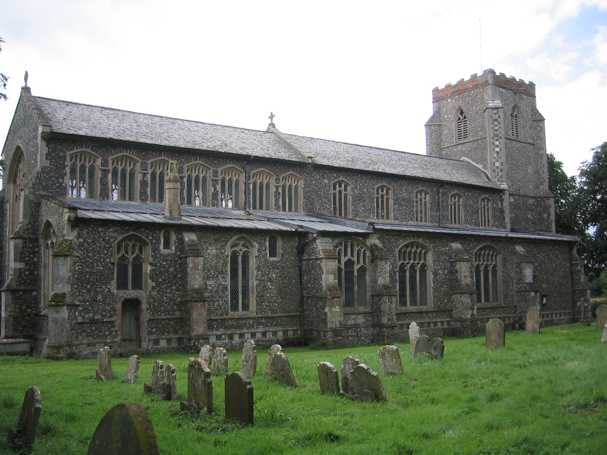
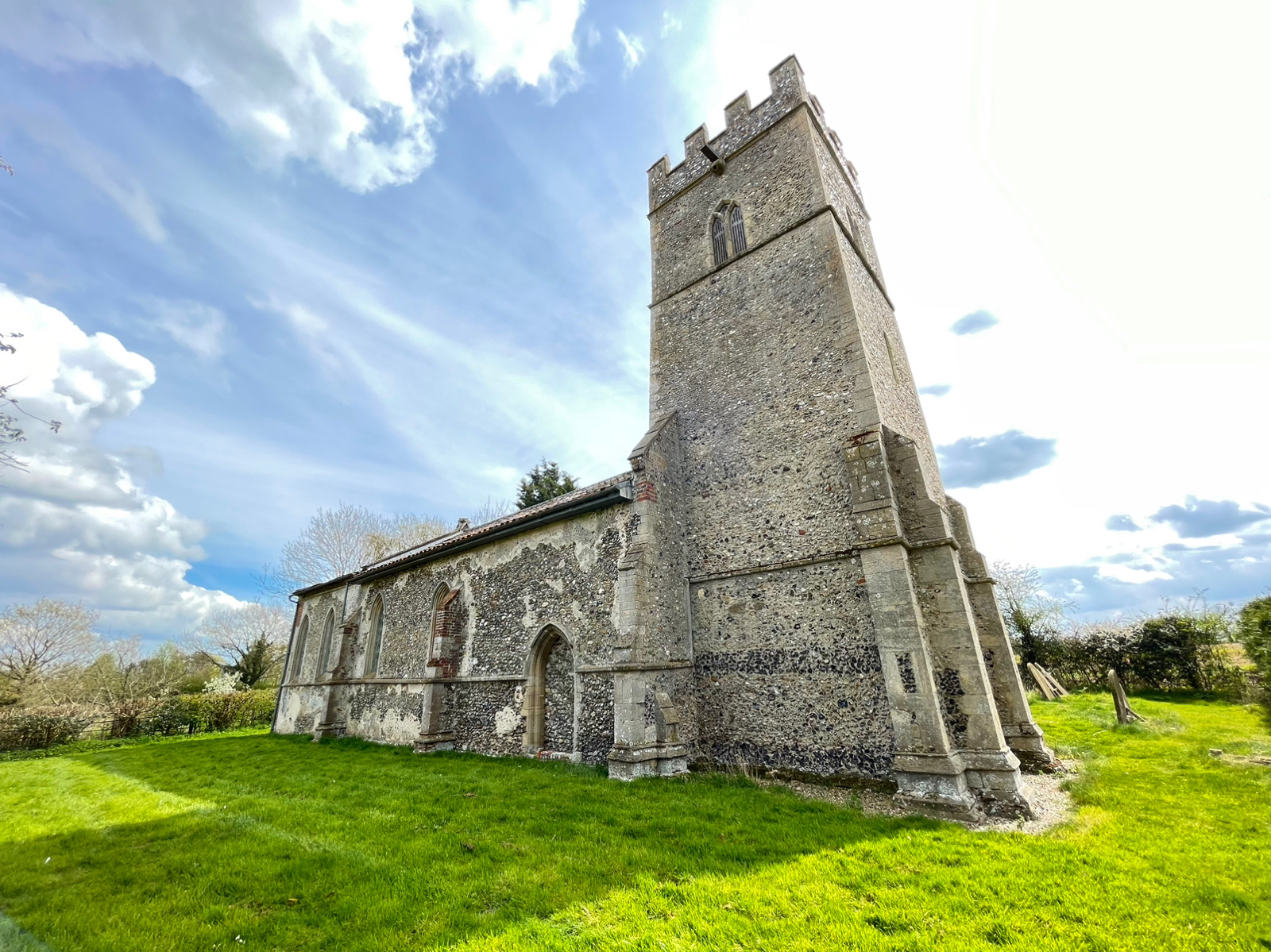
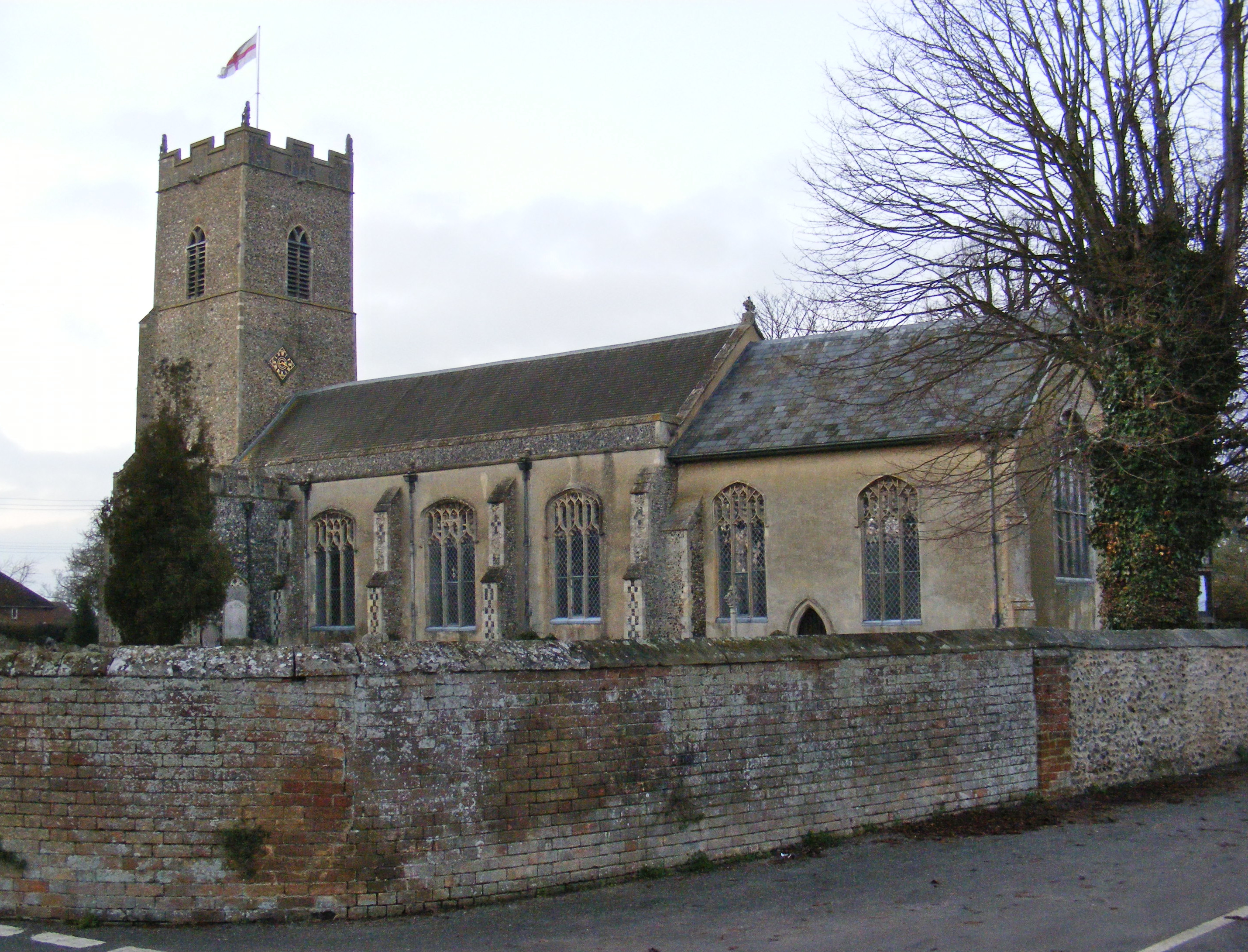
With a population of around 1,000 people, Fressingfield retains its small village atmosphere, characterized by its tight-knit community and friendly locals. The village is known for its well-preserved historic buildings, including the beautiful St. Peter and St. Paul Church, which dates back to the 14th century. The church's tower offers stunning views of the surrounding countryside.

Fressingfield is also home to a range of amenities and services to cater to the needs of its residents. The village boasts a primary school, a post office, a convenience store, and a pub, providing essential facilities within close proximity. Additionally, Fressingfield is known for its vibrant social scene, with various clubs and societies catering to different interests, such as sports, arts, and gardening.

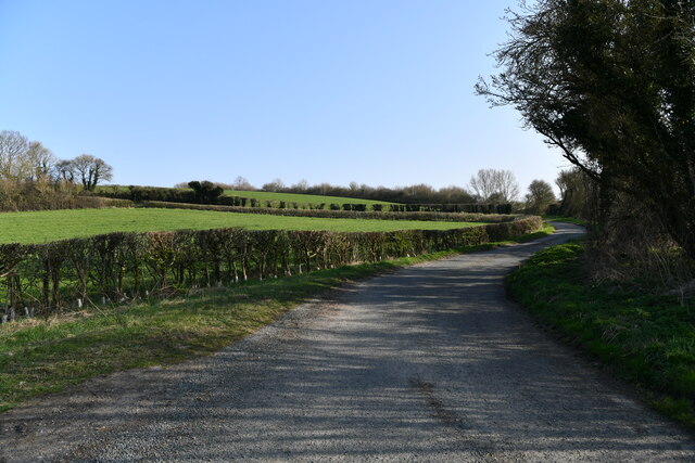
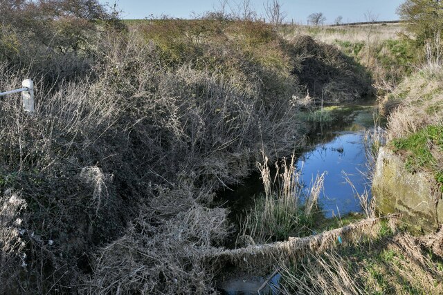
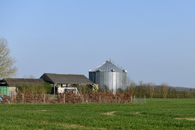
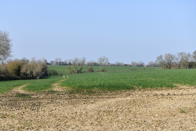
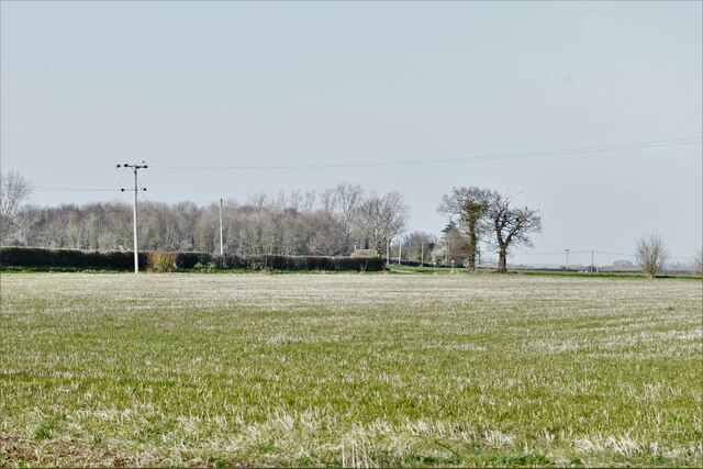
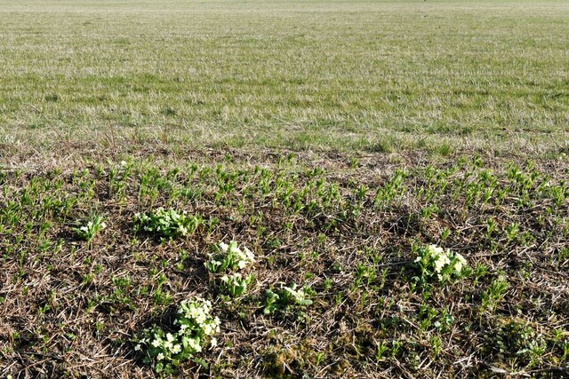
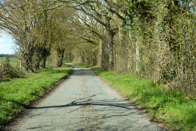
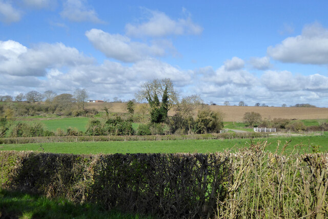
Nature enthusiasts will find plenty to explore in the area surrounding Fressingfield. The village is surrounded by lush green fields and rolling hills, offering ample opportunities for walking, cycling, and horse riding. Nearby, one can find several nature reserves, such as Redgrave and Lopham Fen, which provide habitats for a diverse range of wildlife.

Overall, Fressingfield offers a tranquil and idyllic setting, making it an ideal place for those seeking a peaceful and close-knit community within the beautiful Suffolk countryside.

If you have any feedback on the listing, please let us know in the comments section below.

Fressingfield Images

Images are sourced within 2km of 52.349643/1.318772 or Grid Reference TM2677. Thanks to Geograph Open Source API. All images are credited.

Fressingfield: Dale Road
Weybread, Dale Bridge: Badly clogged river
Fressingfield, Dale Road: Agricultural buildings and grain silo
Fressingfield, Dale Road: Crop and a large area of bare earth
Weybread, Dale Road: Field grown for grass
B1116 Laxfield Road Towards Fressingfield.
B1116 Laxfield Road
Towards Fressingfield.
B1116 Laxfield Road Towards Fressingfield.
B1116 Laxfield Road
Towards Fressingfield.
B1116 Laxfield Road, Fressingfield
B1116 heading north Towards Harleston.
B1116 heading north
Towards Harleston.
B1116 The Street heading north Approaching Weybread on a section of Roman road.
B1116 The Street heading north
Approaching Weybread on a section of Roman road.
Dale Road Towards Earsham Street.  Some maps have Dales Road.
Dale Road
Towards Earsham Street. Some maps have Dales Road.
View from Dale Road towards Dale Bridge The road doglegs round to cross the bridge towards the right.  The bridge is on an apparently unnamed tributary of the Waveney.
View from Dale Road towards Dale Bridge
The road doglegs round to cross the bridge towards the right. The bridge is on an apparently unnamed tributary of the Waveney.
Fressingfield Church and War Memorial The Church of St Peter and St Paul is a magnificent church dominating the countryside and can be seen a couple of miles away.

Beneath the church are the Swan Inn (shown) and the Fox and Goose public houses. Also shown in the picture in the foreground next to the war memorial is the village pump which has been restored.
Fressingfield Church and War Memorial
The Church of St Peter and St Paul is a magnificent church dominating the countryside and can be seen a couple of miles away. Beneath the church are the Swan Inn (shown) and the Fox and Goose public houses. Also shown in the picture in the foreground next to the war memorial is the village pump which has been restored.
West House Farm
West House Farm
Water Tower This tower lies just south of Fressingfield.
Water Tower
This tower lies just south of Fressingfield.
The farmhouse at Redhouse Farm
Show me another place!

Fressingfield is located at Grid Ref: TM2677 (Lat: 52.349643, Lng: 1.318772)

Administrative County: Suffolk

District: Mid Suffolk

Police Authority: Suffolk

What 3 Words

///overdrive.signature.barmaid. Near Stradbroke, Suffolk

Nearby Locations

Fressingfield

Related Wikis

Fressingfield

Fressingfield is a village in Suffolk, England, 12 miles (19 km) east of Diss, Norfolk. In 2015 it had a population of 1021, with one shop (a Mace (shop...

Chippenhall Green

Chippenhall Green is a 16.3-hectare (40-acre) biological Site of Special Scientific Interest west of Halesworth in Suffolk, England.This unimproved grassland...

Ufford Hall, Suffolk

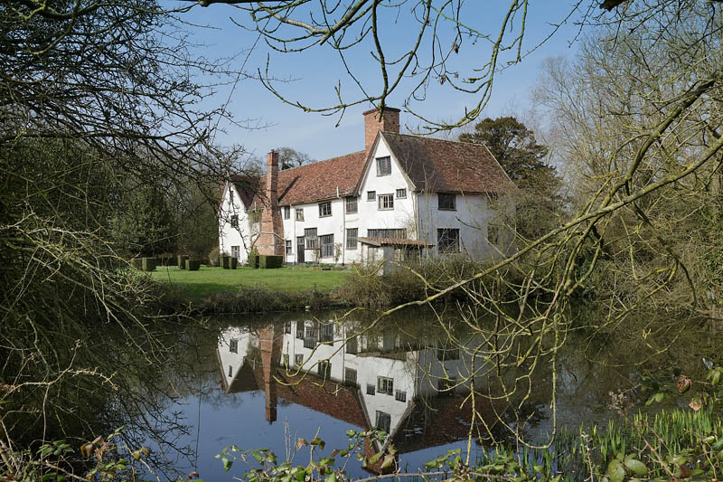
Ufford Hall is a Grade II* listed manor house in Fressingfield, Suffolk, England, dating back to the thirteenth century. There is another "Ufford Hall...

Wingfield, Suffolk

Wingfield is a village in the English county of Suffolk. It is found 7 miles (11 km) east of Diss, signposted off B1118, near Eye. Wingfield Castle, which...

Weybread

Weybread is a village in Suffolk, England. The population of the village at the 2011 Census was 432.Its church, St. Andrew's, is one of 38 existing round...

Coston, Norfolk

Coston is a village and former civil parish, now in the parish of Brandon Parva, Coston, Runhall and Welborne, in the South Norfolk district, in the county...

Withersdale Street

The village of Withersdale Street is located within the rural parish of Mendham, on the Norfolk/Suffolk border, in the Waveney Valley. The village is...

Metfield

Metfield is a village in Suffolk, England, but its name is derived from Medefeld or 'Meadow feld' (see Concise Oxford Dictionary of English Place Names...

Nearby Amenities

Located within 500m of 52.349643,1.318772
Fressingfield
Is In: Suffolk
Place: village
Wikidata: Q5014067
Wikipedia: en:Fressingfield
Lat/Long: 52.3468235/1.3177377
Bus Stop
Fox and Goose
Naptan AtcoCode: 390040229
Naptan Bearing: SW
Naptan CommonName: Fox and Goose
Naptan Indicator: opp
Naptan Landmark: Fox and Goose
Naptan NaptanCode: sufawgwt
Naptan Street: Harleston Hill
Naptan Verified: no
Source: naptan_import
Lat/Long: 52.3484475/1.3178824
Bus Stop
Fox and Goose
Naptan AtcoCode: 390040230
Naptan Bearing: NE
Naptan CommonName: Fox and Goose
Naptan Indicator: adj
Naptan Landmark: Fox and Goose
Naptan NaptanCode: sufawgwp
Naptan Street: Harleston Hill
Naptan Verified: no
Shelter: yes
Source: naptan_import
Lat/Long: 52.3485218/1.3177999
Bus Stop
Pilgrims Green
Naptan AtcoCode: 390040231
Naptan Bearing: W
Naptan BusStopType: CUS
Naptan CommonName: Pilgrims Green
Naptan Indicator: adj
Naptan Landmark: Pilgrims Green
Naptan NaptanCode: sufawjad
Naptan Street: Laxfield Road
Naptan Verified: no
Source: naptan_import
Lat/Long: 52.3474113/1.3179403
Bus Stop
Pilgrims Green
Naptan AtcoCode: 390040232
Naptan Bearing: E
Naptan BusStopType: CUS
Naptan CommonName: Pilgrims Green
Naptan Indicator: opp
Naptan Landmark: Pilgrims Green
Naptan NaptanCode: sufawjag
Naptan Street: Laxfield Road
Naptan Verified: no
Source: naptan_import
Lat/Long: 52.3474434/1.3180862
Bus Stop
Memorial
Naptan AtcoCode: 390040777
Naptan Bearing: NW
Naptan BusStopType: CUS
Naptan CommonName: Memorial
Naptan Indicator: adj
Naptan Landmark: Memorial
Naptan NaptanCode: sufgdaga
Naptan Street: Low Road
Naptan Verified: no
Source: naptan_import
Lat/Long: 52.3498065/1.3191299
Bus Stop
Memorial
Naptan AtcoCode: 390040778
Naptan Bearing: SE
Naptan BusStopType: CUS
Naptan CommonName: Memorial
Naptan Indicator: opp
Naptan Landmark: Memorial
Naptan NaptanCode: sufgdagd
Naptan Street: Low Road
Naptan Verified: no
Source: naptan_import
Lat/Long: 52.3499518/1.3190821
Bus Stop
Broadway
Naptan AtcoCode: 390040945
Naptan Bearing: S
Naptan BusStopType: CUS
Naptan CommonName: Broadway
Naptan Indicator: adj
Naptan Landmark: Broadway
Naptan NaptanCode: sufjgmaw
Naptan Street: Stradbroke Road
Naptan Verified: no
Source: naptan_import
Lat/Long: 52.3467294/1.3169312
Bus Stop
Broadway
Naptan AtcoCode: 390040946
Naptan Bearing: N
Naptan BusStopType: CUS
Naptan CommonName: Broadway
Naptan Indicator: opp
Naptan Landmark: Broadway
Naptan NaptanCode: sufjgmda
Naptan Street: Stradbroke Road
Naptan Verified: no
Source: naptan_import
Lat/Long: 52.3467135/1.3168566
Pub
The Swan
Addr City: Eye
Addr Postcode: IP21 5PE
Addr Street: Harleston Road
Addr Village: Fressingfield
Fhrs Id: 1404451
Source Addr: FHRS Open Data
Lat/Long: 52.3495167/1.3188742
Fressingfield
Man Made: village_sign
Lat/Long: 52.3472853/1.3173172
Post Box
Collection Times: Mo-Fr 09:00; Sa 08:00
Operator: Royal Mail
Operator Wikidata: Q638098
Post Box Mounting: pier
Post Box Type: lamp
Ref: IP21 7146
Royal Cypher: EIIR
Royal Cypher Wikidata: Q33102113
Lat/Long: 52.3513299/1.3184899
Post Box
Collection Times: Mo-Fr 16:15; Sa 10:30
Post Box Design: type_b
Post Box Type: pillar
Ref: IP21 7025
Royal Cypher: EIIR
Royal Cypher Wikidata: Q33102113
Lat/Long: 52.3468067/1.3196896
Historic: memorial
Lat/Long: 52.3498289/1.3188957
Mace
Addr City: Eye
Addr Postcode: IP21 5PG
Addr Street: New Street
Addr Village: Fressingfield
Brand: Mace
Brand Wikidata: Q75240338
Fhrs Id: 1404969
Shop: convenience
Source Addr: FHRS Open Data
Lat/Long: 52.3475144/1.3152693
Barrier: kissing_gate
Bicycle: no
Foot: yes
Lat/Long: 52.3496606/1.3194181
Note: Way continues but ploughed up.
Lat/Long: 52.3502324/1.3225165
Power: pole
Lat/Long: 52.348791/1.3256845
Power: pole
Lat/Long: 52.3496954/1.3244238
Power: pole
Lat/Long: 52.3507768/1.3236326
Power: pole
Lat/Long: 52.3518171/1.3228333
Power: pole
Lat/Long: 52.3527673/1.3220662
Power: pole
Lat/Long: 52.3484322/1.3244426
Power: pole
Lat/Long: 52.3495038/1.3229111
Power: pole
Lat/Long: 52.350033/1.3221279
Power: pole
Lat/Long: 52.3508161/1.3221708
Power: pole
Lat/Long: 52.3516172/1.3221815
Power: pole
Lat/Long: 52.3524331/1.3222057
Power: pole
Lat/Long: 52.3533604/1.3222164
Defibrillator
Booth: K6
Covered: booth
Defibrillator Location: Inside the disused red telephone kiosk adjacent to the Fox & Goose.
Disused Amenity: telephone
Emergency: defibrillator
Indoor: no
Listed Status: Grade II
Man Made: telephone_box
Ref: P10773
Ref GB The Circuit: E9CDA522-0BDC-41C9-8F2B-AD6E011B390A
Lat/Long: 52.3484242/1.3179742
Historic: yes
Man Made: water_well
Lat/Long: 52.349808/1.3188728
Fixme: incomplete
Lat/Long: 52.3469117/1.317324
Entrance: main
Lat/Long: 52.3484424/1.3185213
Fixme: incomplete
Lat/Long: 52.3470354/1.3176258
Addr City: Eye
Addr Housename: Pilgrims Cottage
Addr Street: Laxfield Road
Addr Village: Fressingfield
Lat/Long: 52.3470526/1.3195664
Addr Housename: East Cottage
Addr Street: New Street
Addr Village: Fressingfield
Building: house
Lat/Long: 52.3473803/1.3126637
Addr Housename: West Cottage
Addr Street: New Street
Addr Village: Fressingfield
Building: house
Lat/Long: 52.3473738/1.312539
Addr Housename: Lynton
Addr Street: New Street
Addr Village: Fressingfield
Building: house
Lat/Long: 52.3474385/1.3134228
Addr Housenumber: 1
Addr Street: Ash Tree Close
Addr Village: Fressingfield
Building: house
Lat/Long: 52.3473459/1.3137768
Addr Housename: Rosemary Villa
Addr Street: New Street
Addr Village: Fressingfield
Building: house
Lat/Long: 52.3475106/1.314501
Addr Housename: The Chalet
Addr Street: New Street
Addr Village: Fressingfield
Building: house
Lat/Long: 52.3474737/1.3148323
Addr Housename: Avalon
Addr Street: New Street
Addr Village: Fressingfield
Building: house
Lat/Long: 52.3477318/1.3155954
Addr Housename: Jasmine Cottage
Addr Street: New Street
Addr Unit: 1
Addr Village: Fressingfield
Building: house
Lat/Long: 52.3476425/1.3159159
Addr Housename: Jasmine Cottage
Addr Street: New Street
Addr Unit: 2
Addr Village: Fressingfield
Building: house
Lat/Long: 52.3476556/1.3157925
Addr Housename: Antique House
Addr Street: New Street
Addr Village: Fressingfield
Building: house
Lat/Long: 52.3475507/1.316447
Addr Housename: The Cottage
Building: house
Lat/Long: 52.3475524/1.3182735
The Pottery
Addr Housename: Fressingfield House
Addr Street: Church Street
Addr Village: Fressingfield
Craft: pottery
Lat/Long: 52.3481094/1.3187537
The data included in this document is from www.openstreetmap.org. The data is made available under ODbL.

Have you been to Fressingfield?

Leave your review of Fressingfield below (or comments, questions and feedback).