Broom Knoll
Hill, Mountain in Suffolk Babergh
England
Broom Knoll
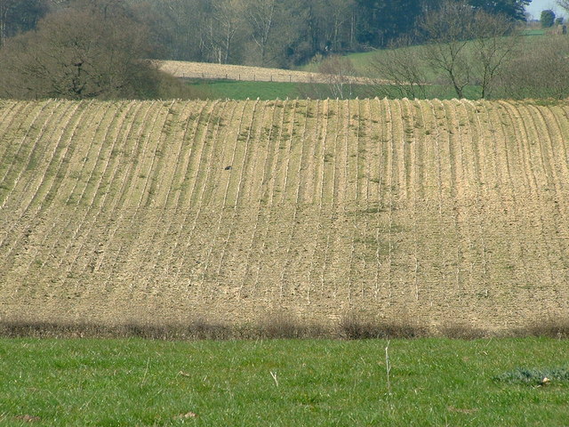
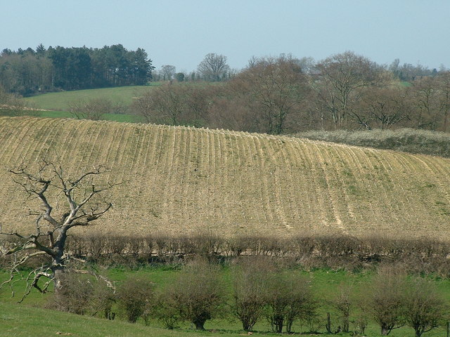
Broom Knoll is a picturesque hill located in the county of Suffolk, England. Situated in the eastern part of the country, Suffolk is renowned for its beautiful countryside and Broom Knoll is no exception. Although referred to as a hill, Broom Knoll is more accurately described as a small, rounded rise in the landscape rather than a towering mountain.
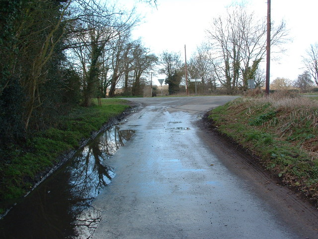
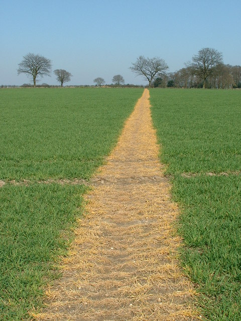
Covered in lush greenery and bordered by vibrant wildflowers, Broom Knoll offers stunning panoramic views of the surrounding countryside. The hill is predominantly covered in grass, with scattered patches of low shrubs and bushes. The terrain is gently sloping, making it accessible for walkers of all ages and abilities.
The summit of Broom Knoll provides a vantage point from which visitors can marvel at the picturesque Suffolk landscape. On clear days, it is possible to see for miles, with views stretching across rolling fields, quaint villages, and distant woodlands. The hill's elevation also offers a sense of tranquility and escape from the hustle and bustle of everyday life.
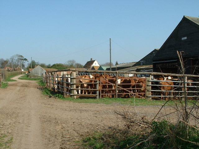
Broom Knoll is a popular destination for nature lovers, hikers, and photographers seeking to capture the beauty of the Suffolk countryside. The area surrounding the hill is rich in wildlife, with various bird species, rabbits, and even deer frequently spotted in the vicinity.
Overall, Broom Knoll is a charming and idyllic hill in Suffolk, offering visitors a chance to appreciate the natural beauty of the region and immerse themselves in the peacefulness of the countryside.
If you have any feedback on the listing, please let us know in the comments section below.
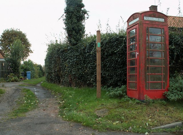
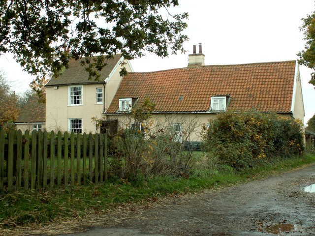
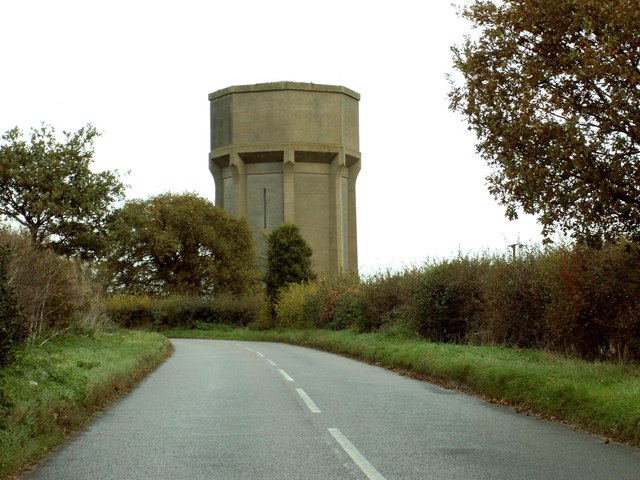
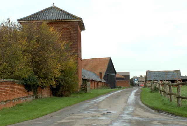
Broom Knoll Images
Images are sourced within 2km of 52.01012/1.1547757 or Grid Reference TM1639. Thanks to Geograph Open Source API. All images are credited.

Broom Knoll is located at Grid Ref: TM1639 (Lat: 52.01012, Lng: 1.1547757)
Administrative County: Suffolk
District: Babergh
Police Authority: Suffolk
What 3 Words
///players.argued.cooked. Near Holbrook, Suffolk
Nearby Locations
Related Wikis

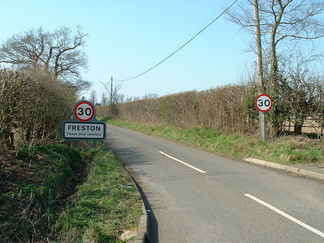
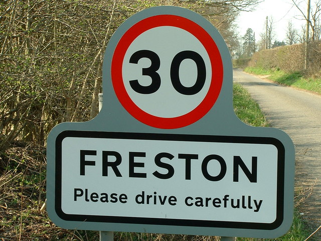
Freston, Suffolk
Freston is a small village and civil parish in the Babergh district, in the county of Suffolk, England, located on the Shotley Peninsula, 4 miles south...

Freston and Cutler's Woods with Holbrook Park
Freston and Cutler's Woods with Holbrook Park is a 142 hectare biological Site of Special Scientific Interest south of Ipswich in Suffolk. The site is...
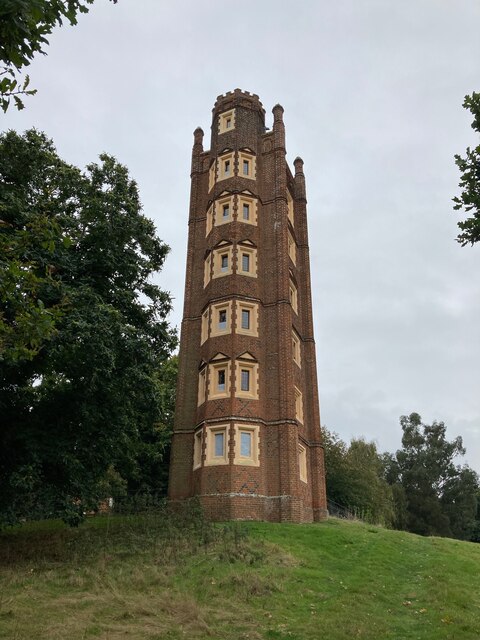
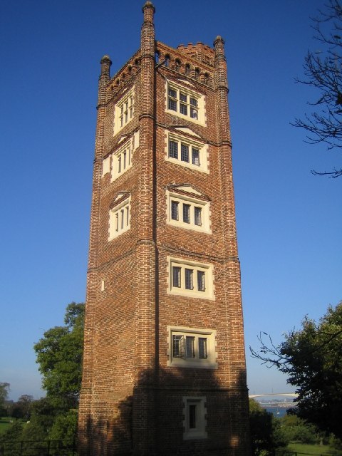
Freston Tower
Freston Tower is a six-storey red brick folly south of Ipswich, Suffolk in the village of Freston. It stands on the banks of the River Orwell. == History... ==
Wherstead Park
Wherstead Park Mansion in Suffolk is a house of historical significance and is listed on the English Heritage Register. It was built in 1792 for Sir Robert...

Shotley Peninsula
The Shotley Peninsula is a rural area east of the A137 Ipswich-Colchester road located between the rivers Stour and Orwell in Suffolk, England. The peninsula...
Wherstead
Wherstead is a village and a civil parish located in the county of Suffolk, England. Wherstead village lies 3 miles (4.8 km) south of Ipswich on the Shotley...

Orwell Bridge
The Orwell Bridge is a concrete box girder bridge just south of Ipswich in Suffolk, England. Opened to road traffic in 1982, the bridge carries the A14...
Bridge Wood
Bridge Wood is a 31 hectare Local Nature Reserve on the southern outskirts of Ipswich in Suffolk, England. It is owned and managed by Ipswich Borough Council...
Nearby Amenities
Located within 500m of 52.01012,1.1547757Have you been to Broom Knoll?
Leave your review of Broom Knoll below (or comments, questions and feedback).