Broomhill Plantation
Wood, Forest in Norfolk North Norfolk
England
Broomhill Plantation

Broomhill Plantation is a picturesque woodland located in Norfolk, England. Situated near the village of Woodton, this beautiful forest covers an area of approximately 500 acres. The plantation is renowned for its diverse range of tree species, including oak, birch, beech, and conifers, which contribute to the area's rich biodiversity.
The forest is well-preserved and managed by local conservationists, ensuring the natural habitats within the plantation remain intact. Broomhill Plantation serves as a haven for various wildlife species, including deer, foxes, badgers, and numerous bird species. The tranquil environment and abundance of wildlife make this woodland a popular spot for nature enthusiasts, birdwatchers, and photographers.
Visitors to Broomhill Plantation can enjoy a variety of activities. The extensive network of walking trails offers opportunities for leisurely strolls, while more adventurous individuals can explore the forest's hidden corners. There are also designated picnic areas, where visitors can relax and enjoy a meal amidst the serene surroundings.
The woodland is easily accessible, with ample parking available for visitors. Broomhill Plantation is open to the public throughout the year, allowing visitors to experience the changing seasons and the unique charm each one brings to the forest.
Overall, Broomhill Plantation in Norfolk offers a tranquil and scenic retreat, allowing visitors to immerse themselves in the beauty of nature. Whether it's a leisurely walk, birdwatching, or simply enjoying a peaceful picnic, this woodland provides an idyllic setting for nature lovers and those seeking a respite from the hustle and bustle of everyday life.
If you have any feedback on the listing, please let us know in the comments section below.
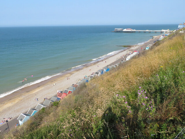
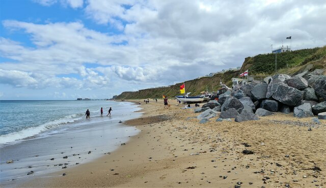
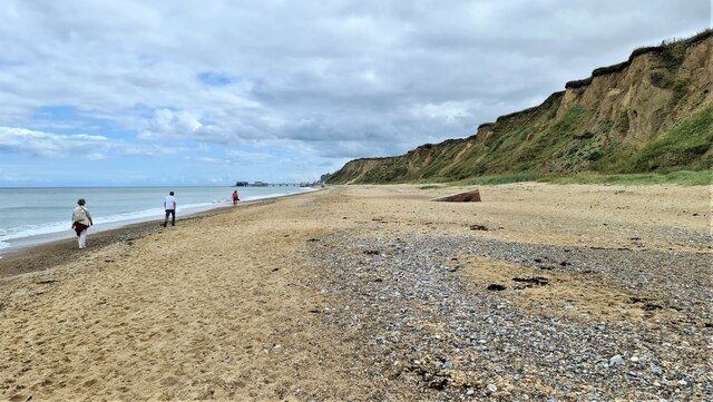
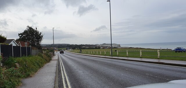
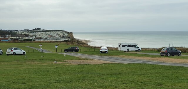
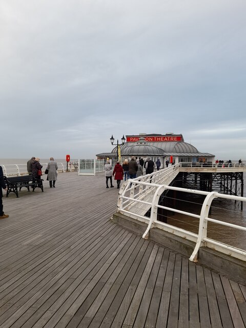
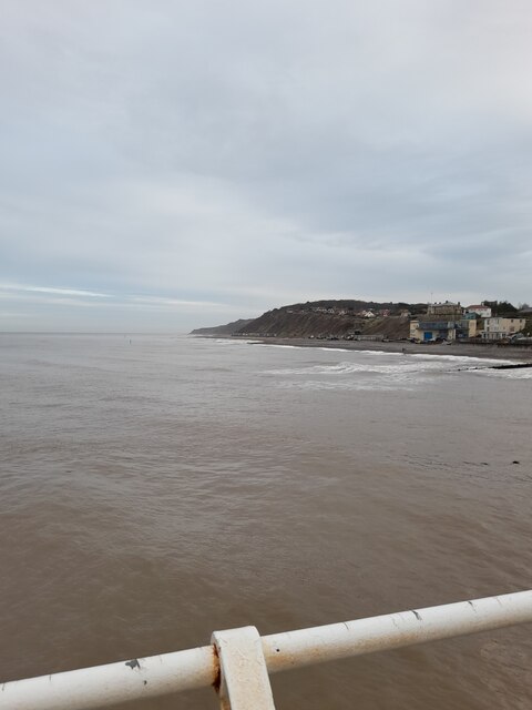
Broomhill Plantation Images
Images are sourced within 2km of 52.935246/1.2736134 or Grid Reference TG2042. Thanks to Geograph Open Source API. All images are credited.


Broomhill Plantation is located at Grid Ref: TG2042 (Lat: 52.935246, Lng: 1.2736134)
Administrative County: Norfolk
District: North Norfolk
Police Authority: Norfolk
What 3 Words
///patrolled.cavalier.certainly. Near Cromer, Norfolk
Nearby Locations
Related Wikis

East Runton Windmill
East Runton Windmill is a grade II listed tower mill at East Runton, Norfolk, England which has been converted to residential accommodation. == History... ==

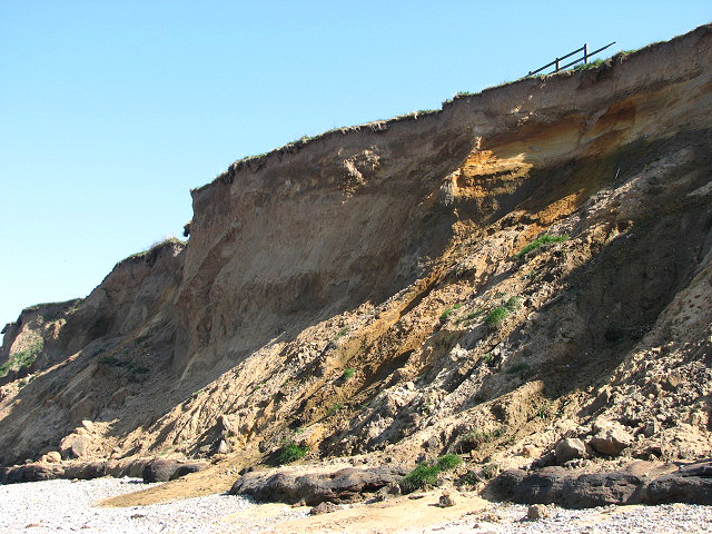
East Runton Cliffs
East Runton Cliffs is a 20.6-hectare (51-acre) geological Site of Special Scientific Interest west of Cromer in Norfolk. It is a Geological Conservation...

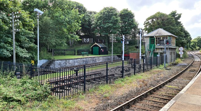
Cromer railway station
Cromer is a railway station in the English county of Norfolk. Because the Midland and Great Northern Joint Railway (M&GNJR) line approached Cromer from...
Railway stations in Cromer
The fishing port and holiday resort of Cromer in the English county of Norfolk has had a rail service since 1877. It was served by three railway stations...
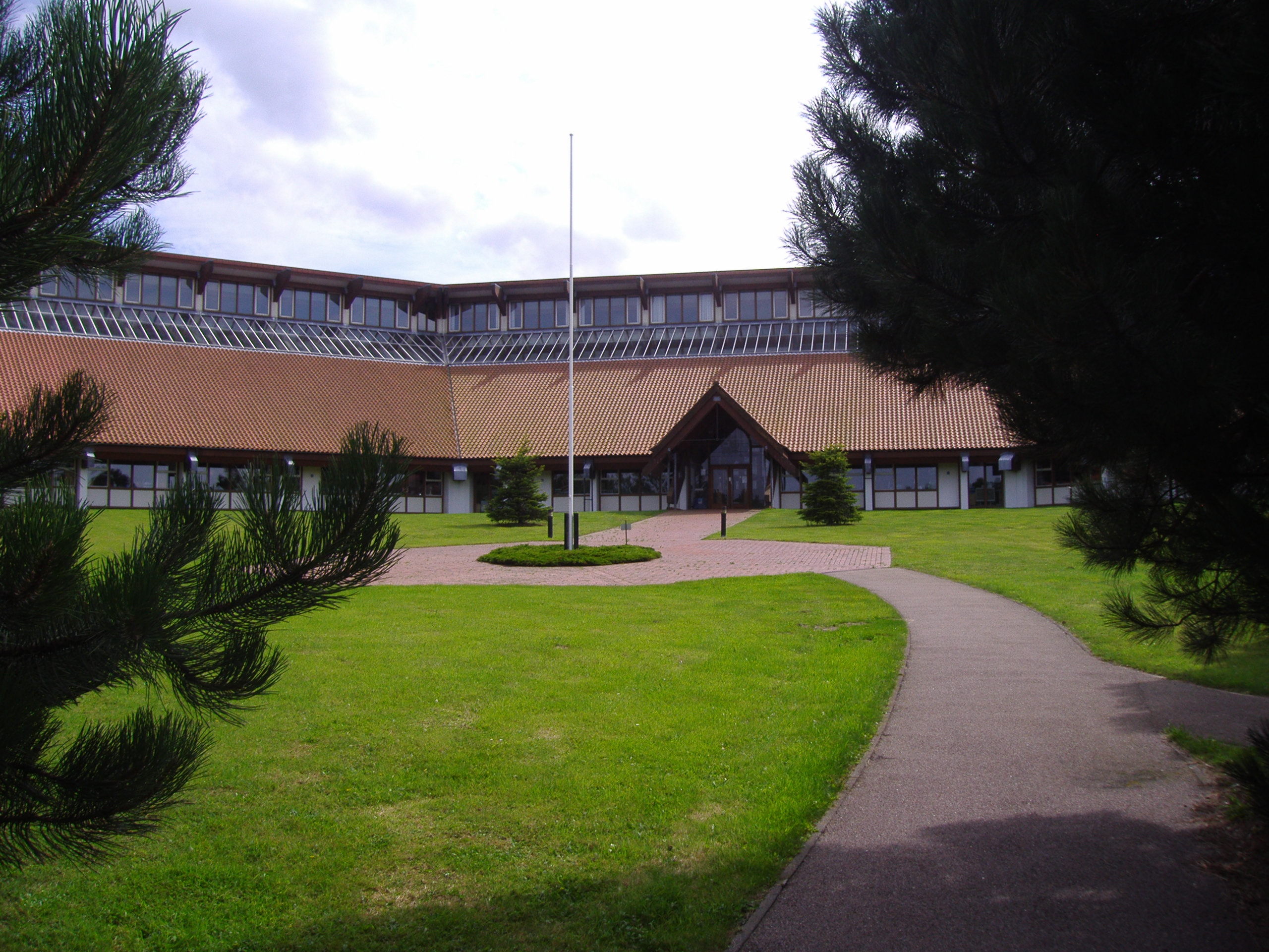
North Norfolk District Council Headquarters
North Norfolk District Council Headquarters is located in Holt road in a prominent position south of the town of Cromer in the English county of Norfolk...

West Runton Mammoth
The West Runton Mammoth is a fossilized skeleton of a steppe mammoth (Mammuthus trogontherii) found in the cliffs of West Runton in the county of Norfolk...
West Runton Cliffs
West Runton Cliffs is a 17.8-hectare (44-acre) geological Site of Special Scientific Interest east of Sheringham in Norfolk. It is a Geological Conservation...

Runton
Runton is a civil parish in the English county of Norfolk consisting of the villages of East Runton and West Runton. It covers an area of 5.44 km2 (2.10...
Nearby Amenities
Located within 500m of 52.935246,1.2736134Have you been to Broomhill Plantation?
Leave your review of Broomhill Plantation below (or comments, questions and feedback).