Linces Wood
Wood, Forest in Kent Canterbury
England
Linces Wood
Linces Wood, located in the county of Kent, England, is a captivating forest that spans an area of approximately 50 acres. The woodland is nestled within the rolling landscape of the North Downs, offering a tranquil and picturesque setting for visitors to immerse themselves in nature.
The wood is predominantly comprised of broadleaf trees, including oak, beech, and birch, which create a dense canopy overhead, providing a welcome respite from the sun on warmer days. The forest floor is adorned with a diverse array of flora, from vibrant bluebells that carpet the ground in spring, to ferns and mosses that thrive in the damp and shaded areas.
Linces Wood is home to a rich variety of wildlife, making it a popular spot for nature enthusiasts and birdwatchers. Visitors may catch a glimpse of native bird species such as woodpeckers, owls, and thrushes, while squirrels and rabbits can often be spotted scurrying through the undergrowth. The forest also supports a diverse insect population, with butterflies and dragonflies fluttering among the wildflowers during the summer months.
Several well-maintained footpaths wind their way through the wood, allowing visitors to explore the forest at their own pace. These paths offer a chance to discover hidden clearings, babbling streams, and ancient trees that have stood the test of time. The wood also features picnic areas and benches, inviting visitors to relax and enjoy the peaceful ambiance.
Linces Wood is a haven for those seeking solace in nature, offering a chance to escape the hustle and bustle of everyday life and reconnect with the natural world.
If you have any feedback on the listing, please let us know in the comments section below.
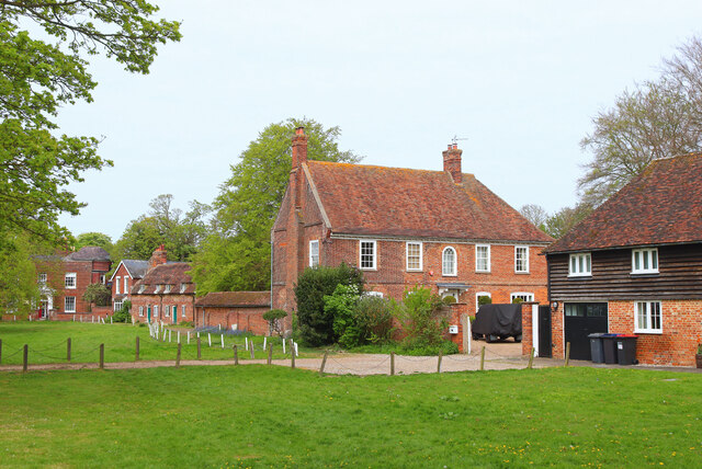
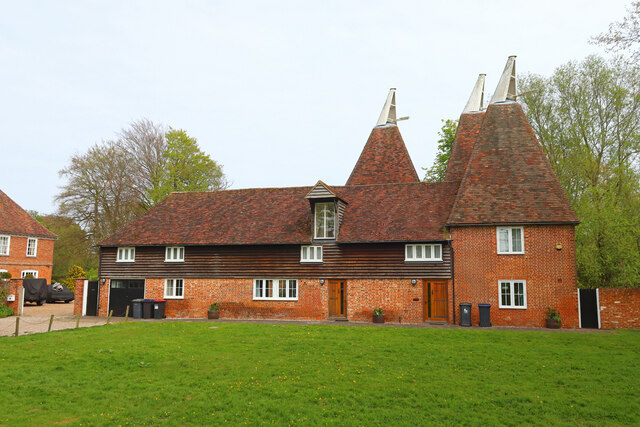
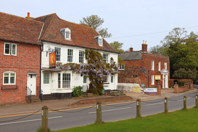
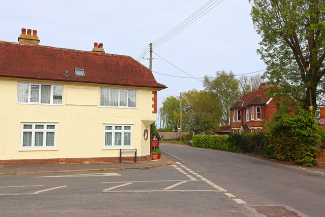
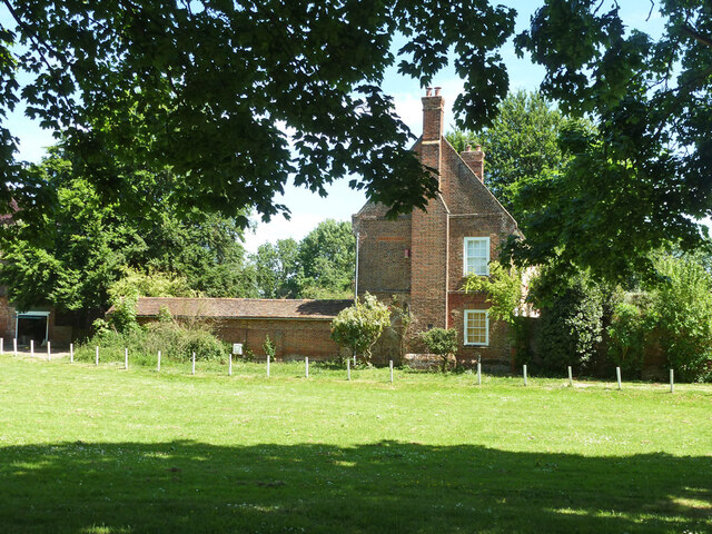
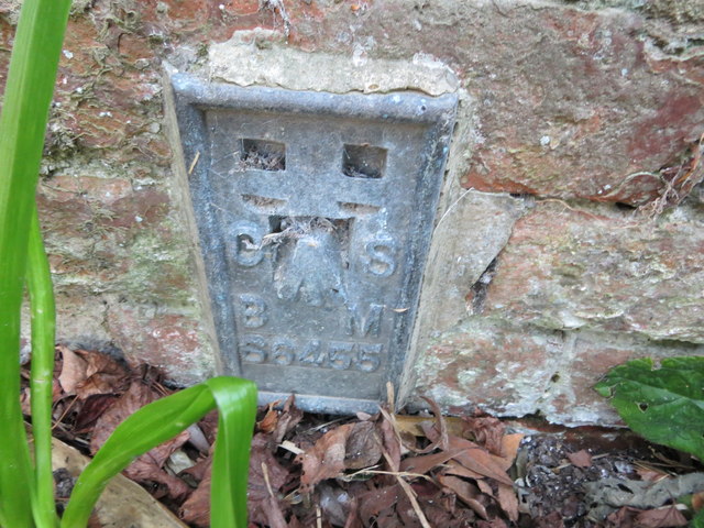
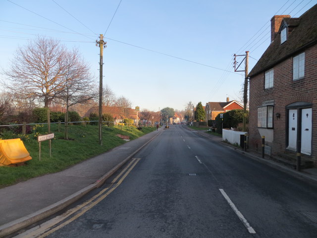
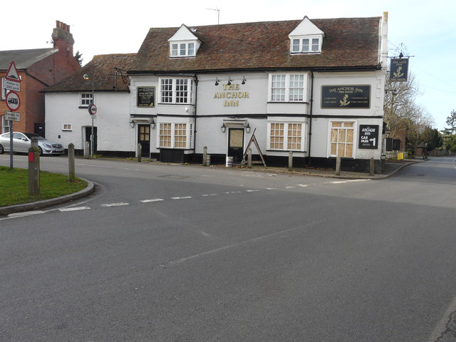
Linces Wood Images
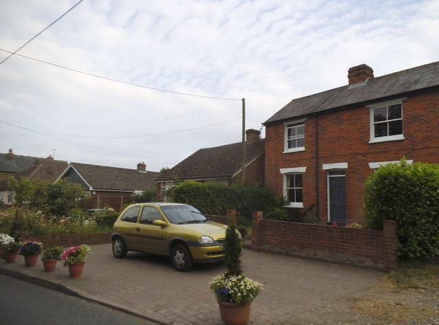
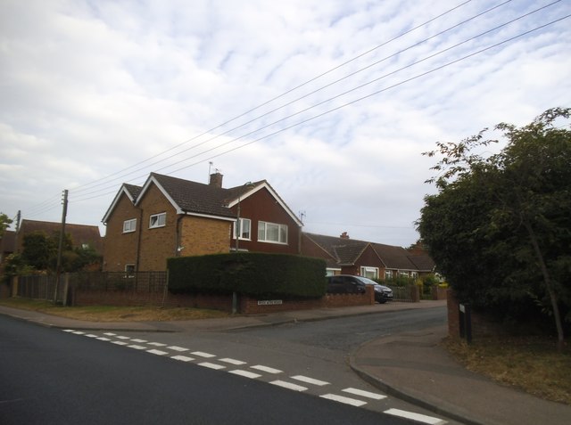
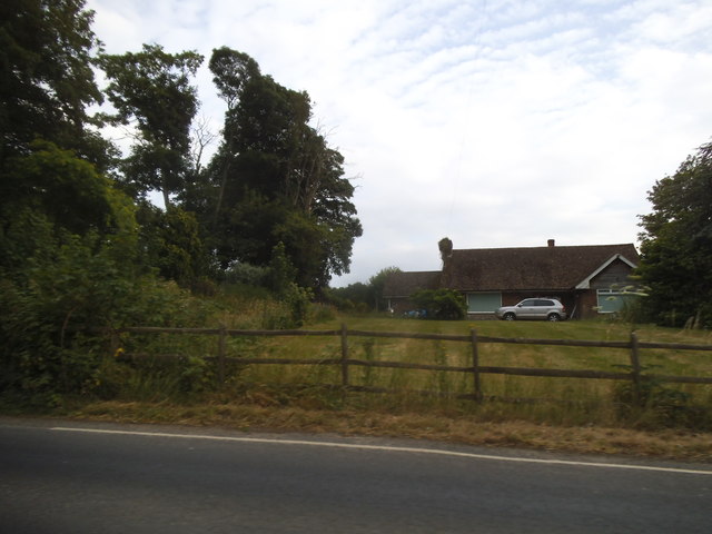
Images are sourced within 2km of 51.261195/1.1530685 or Grid Reference TR2056. Thanks to Geograph Open Source API. All images are credited.


Linces Wood is located at Grid Ref: TR2056 (Lat: 51.261195, Lng: 1.1530685)
Administrative County: Kent
District: Canterbury
Police Authority: Kent
What 3 Words
///nosedive.crawling.clips. Near Littlebourne, Kent
Nearby Locations
Related Wikis

Howletts Wild Animal Park
Howletts Wild Animal Park (formerly known as Howletts Zoo) in the parish of Bekesbourne, near Canterbury in Kent, was established as a private zoo in 1957...

Bekesbourne
Bekesbourne is a village and former civil parish, now in the parish of Bekesbourne-with-Patrixbourne, in the Canterbury district, in Kent, South-East England...
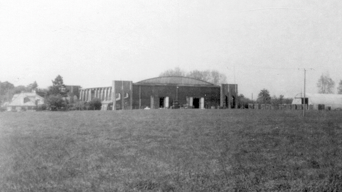
Bekesbourne Aerodrome
Bekesbourne Aerodrome was an airport located at the southeast edge of the village of Bekesbourne, southeast of Canterbury, Kent. It operated from 1916...

Bekesbourne-with-Patrixbourne
Bekesbourne-with-Patrixbourne is a civil parish in the City of Canterbury district of Kent, England. It is located 4 miles south-east of Canterbury.According...
Nearby Amenities
Located within 500m of 51.261195,1.1530685Have you been to Linces Wood?
Leave your review of Linces Wood below (or comments, questions and feedback).