Howard's Hill
Hill, Mountain in Norfolk North Norfolk
England
Howard's Hill
Howard's Hill is a prominent geographical feature located in Norfolk, England. Despite its name, it is more accurately described as a hill rather than a mountain. Situated in the northern part of the county, this hill is part of the larger Norfolk Ridge, which stretches for several miles.
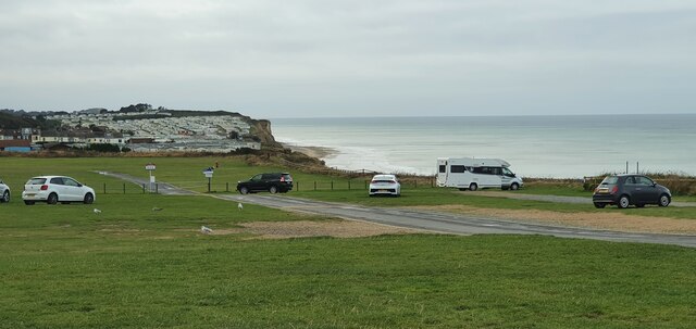
Howard's Hill stands at an elevation of approximately 100 meters above sea level, making it one of the highest points in Norfolk. Its summit offers breathtaking panoramic views of the surrounding countryside, including the nearby villages of Reepham and Salle. The hill is covered in lush green grass and dotted with trees, providing a picturesque backdrop for visitors.
The terrain of Howard's Hill is mostly gentle slopes, making it accessible to hikers and walkers of all abilities. Its well-maintained footpaths and trails attract both locals and tourists who enjoy exploring the natural beauty of the area. The hill is also a popular spot for outdoor activities such as picnicking, birdwatching, and photography.
Historically, Howard's Hill has been a significant landmark in Norfolk. It was named after the influential Howard family, who owned vast estates in the region during the medieval period. The hill's strategic location made it an ideal vantage point for observing the surrounding landscape and potential threats.
Overall, Howard's Hill is a scenic and historically significant hill in Norfolk, offering visitors an opportunity to appreciate the natural beauty and rich heritage of the area.
If you have any feedback on the listing, please let us know in the comments section below.
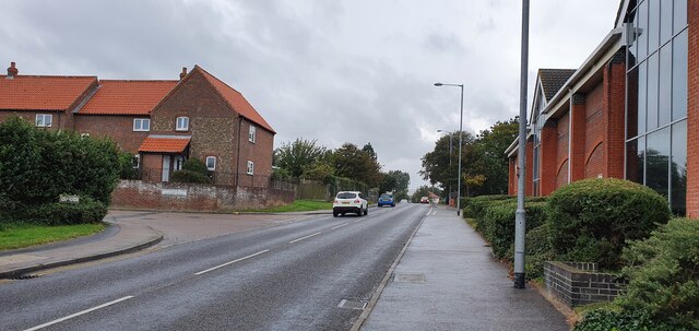
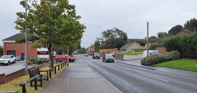
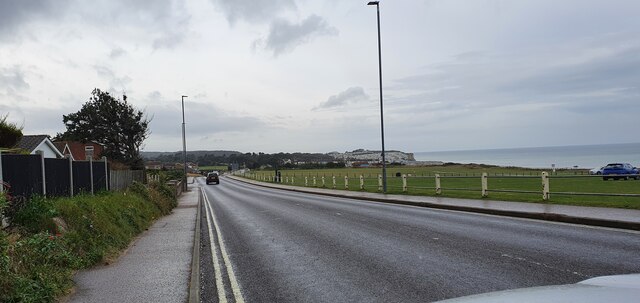
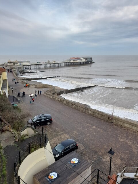
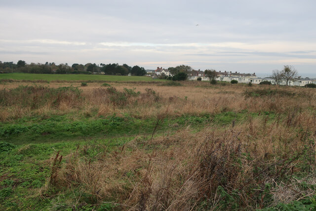
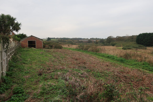
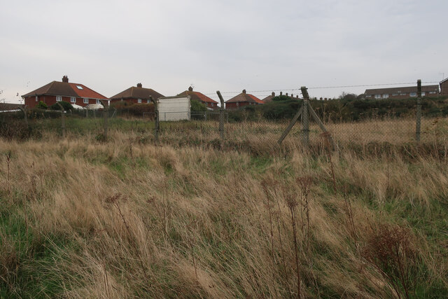
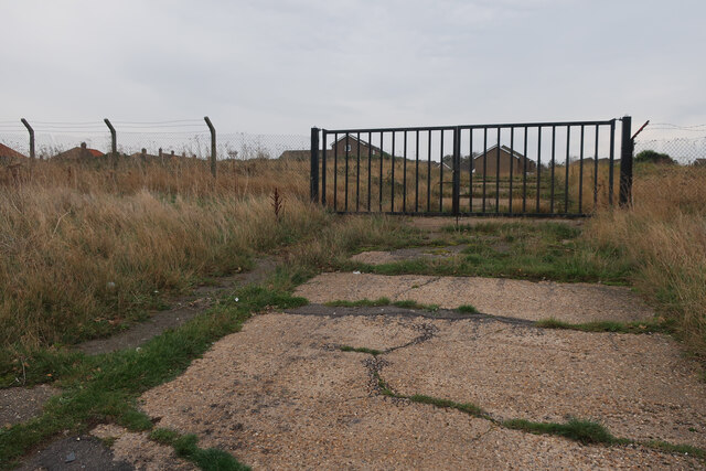
Howard's Hill Images
Images are sourced within 2km of 52.930399/1.2853175 or Grid Reference TG2042. Thanks to Geograph Open Source API. All images are credited.


Howard's Hill is located at Grid Ref: TG2042 (Lat: 52.930399, Lng: 1.2853175)
Administrative County: Norfolk
District: North Norfolk
Police Authority: Norfolk
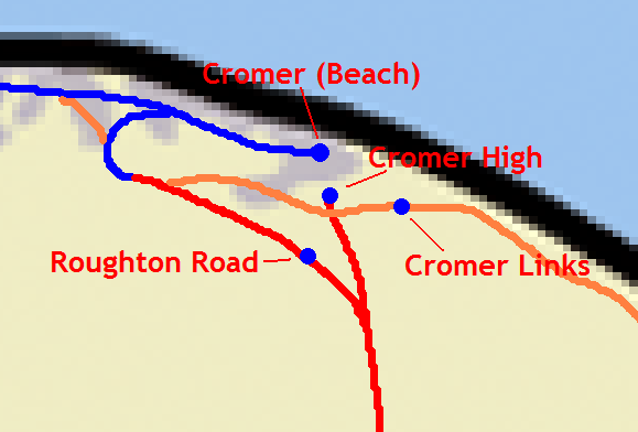
What 3 Words
///rivers.weekend.intention. Near Cromer, Norfolk
Nearby Locations
Related Wikis

Cromer railway station
Cromer is a railway station in the English county of Norfolk. Because the Midland and Great Northern Joint Railway (M&GNJR) line approached Cromer from...
Railway stations in Cromer
The fishing port and holiday resort of Cromer in the English county of Norfolk has had a rail service since 1877. It was served by three railway stations...
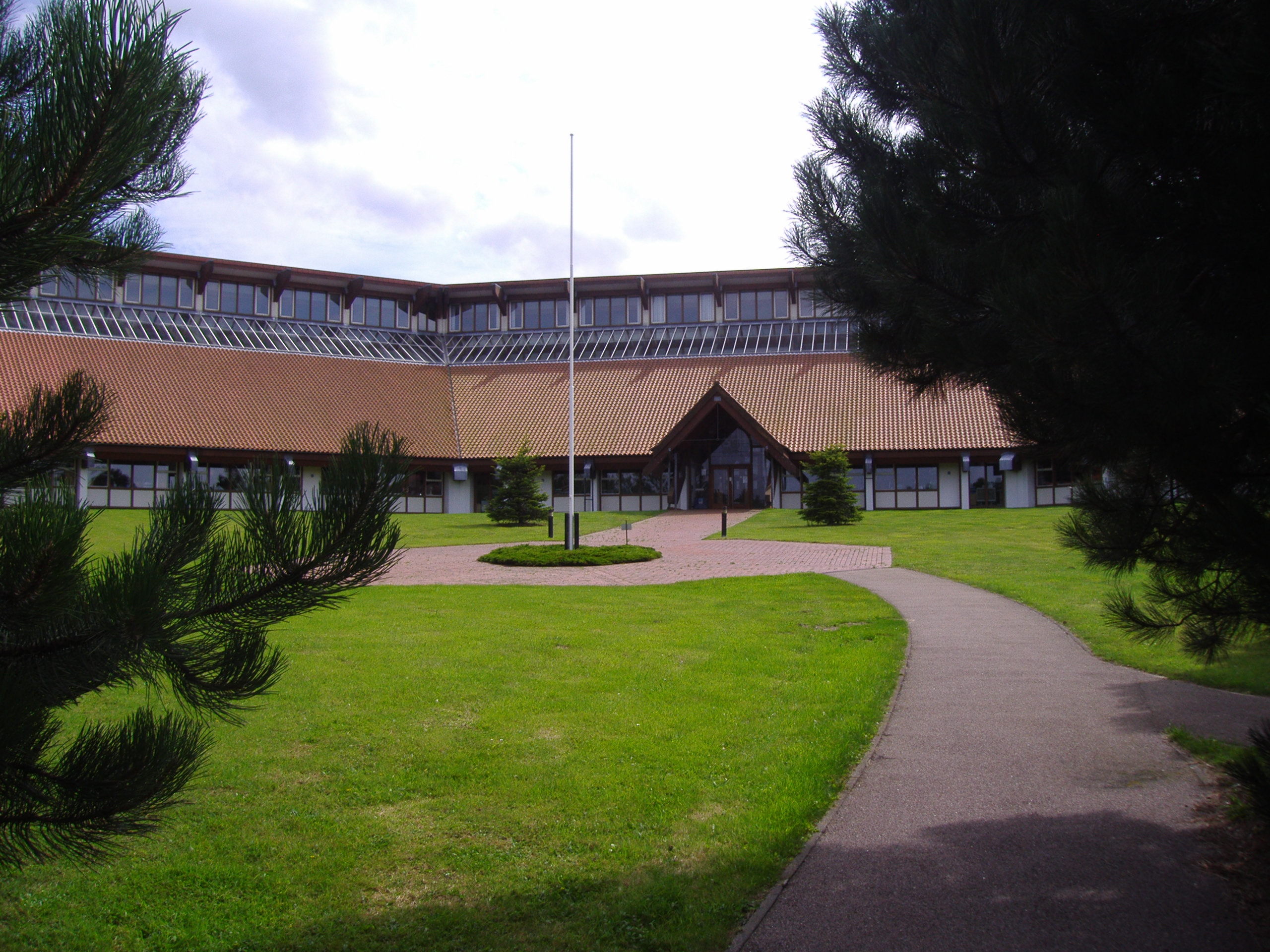
North Norfolk District Council Headquarters
North Norfolk District Council Headquarters is located in Holt road in a prominent position south of the town of Cromer in the English county of Norfolk...
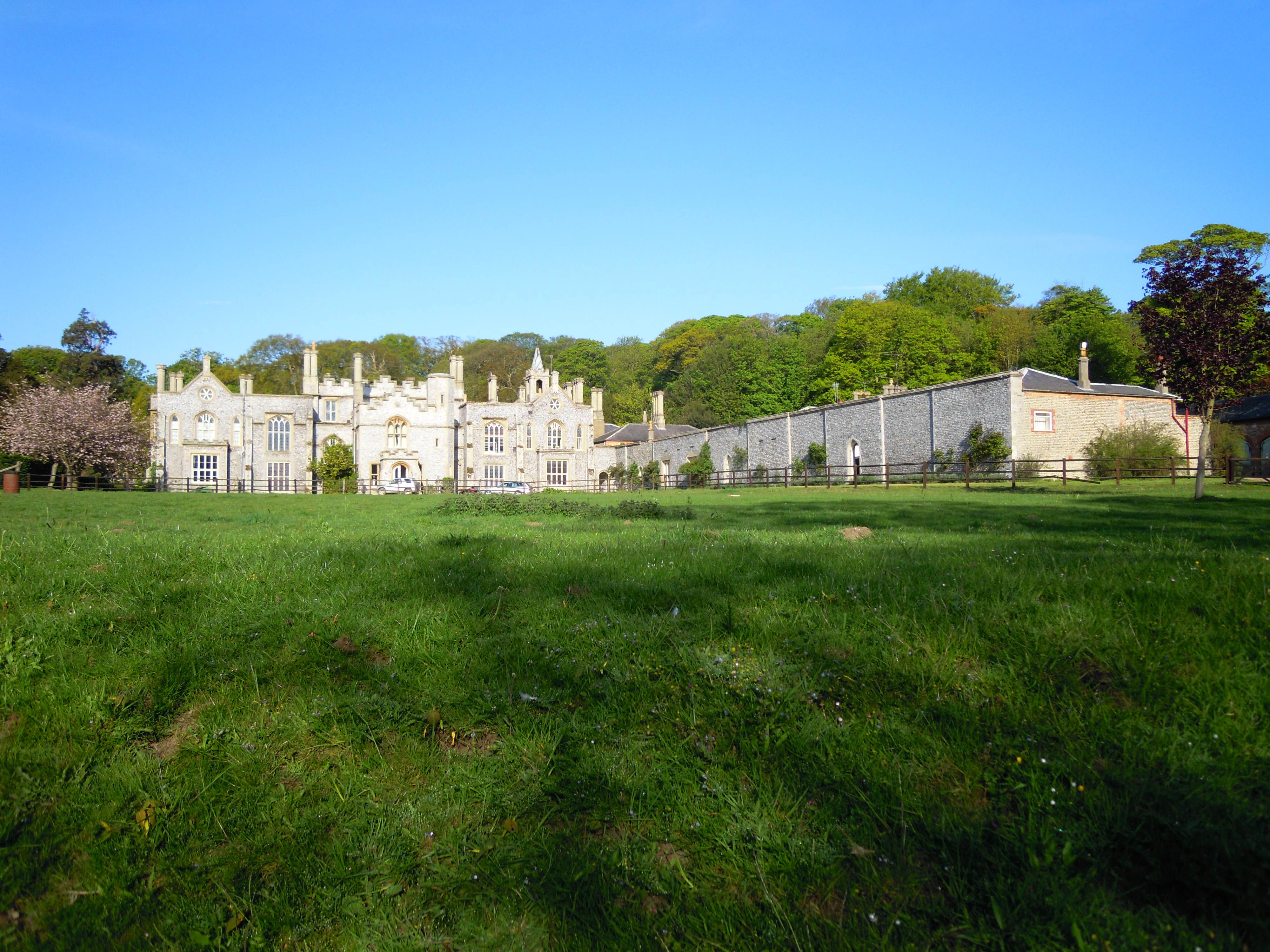
Cromer Hall
Cromer Hall is a country house located one mile south of Cromer on Holt Road, in the English county of Norfolk. The present house was built in 1829 by...
Nearby Amenities
Located within 500m of 52.930399,1.2853175Have you been to Howard's Hill?
Leave your review of Howard's Hill below (or comments, questions and feedback).