Muckle Hill

Hill, Mountain in Norfolk North Norfolk

England

Muckle Hill

Beach at East Runton Gap With RNLI lifeguard station
Beach at East Runton Gap Credit: Chris Morgan

Muckle Hill is a prominent geographical feature located in the county of Norfolk, England. Despite its name, Muckle Hill is not actually a hill or mountain in the traditional sense, but rather a large sand and gravel quarry that has created a significant elevation in the flat Norfolk landscape.

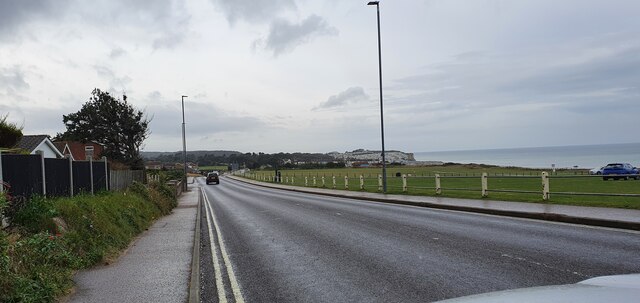
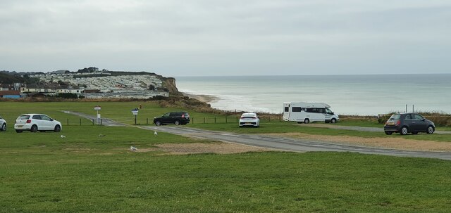
Situated near the village of Taverham, Muckle Hill is a man-made formation resulting from decades of sand and gravel extraction. The quarrying activities have sculpted the land, creating a distinct rise in the terrain that can be seen from afar. The hill itself is not accessible to the public due to safety concerns related to the ongoing quarry operations.

The sand and gravel extracted from Muckle Hill are essential resources for construction and infrastructure development in Norfolk and the surrounding areas. The quarry has played a vital role in meeting the region's demand for building materials.

Due to its significant size and visibility, Muckle Hill serves as a notable landmark in the local area. It can be observed from various vantage points, providing a distinctive feature in the otherwise flat Norfolk landscape. Its presence is a testament to the industrial activities that have shaped the region's economy and infrastructure.

In summary, Muckle Hill is a man-made elevation resulting from a sand and gravel quarry in Norfolk, England. While not accessible to the public, it serves as a prominent landmark and plays a crucial role in the local construction industry.

If you have any feedback on the listing, please let us know in the comments section below.
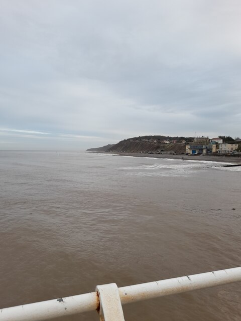
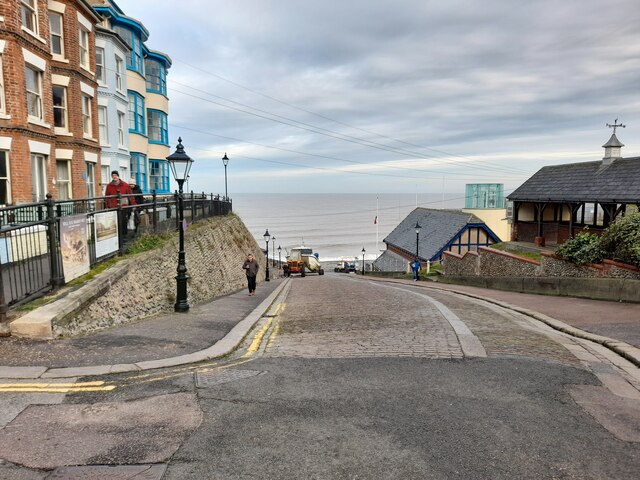
Muckle Hill Images

Images are sourced within 2km of 52.934108/1.2770253 or Grid Reference TG2042. Thanks to Geograph Open Source API. All images are credited.

Beach at East Runton Gap With RNLI lifeguard station
Beach at East Runton Gap
With RNLI lifeguard station
Beach below East Runton
Cromer Pier
Cromer Pier
Cromer from the Pier Rain squall approaching
Cromer from the Pier
Rain squall approaching
Cromer Pier
Cromer Pier
St Peter and St Paul, Cromer parish church
Retail units off Holt Road, Cromer
Cromer Signal Box The Cromer Railway Signalling Society saved this box. It's in working order and connected to specimen railway signals and track in the garden alongside.
Cromer Signal Box
The Cromer Railway Signalling Society saved this box. It's in working order and connected to specimen railway signals and track in the garden alongside.
Greater Anglia Class 755 bimode train at Cromer Arriving on service from Norwich before reversing towards Sheringham
Greater Anglia Class 755 bimode train at Cromer
Arriving on service from Norwich before reversing towards Sheringham
Kings Head in High Street
Holt Road, Cromer
Holt Road, Cromer
Holt Road, Cromer
Holt Road, Cromer
Runton Road, Cromer
Runton Road, Cromer
Car park off Runton Road, Cromer
Traffic lights on Church Street
Cromer Pier
Cromer Pier
View from Pier
View from Pier
Road to Lifeboat station
Show me another place!

Muckle Hill is located at Grid Ref: TG2042 (Lat: 52.934108, Lng: 1.2770253)

Administrative County: Norfolk

District: North Norfolk

Police Authority: Norfolk

What 3 Words

///eyeliner.backyards.sharpened. Near Cromer, Norfolk

Related Wikis

East Runton Windmill

East Runton Windmill is a grade II listed tower mill at East Runton, Norfolk, England which has been converted to residential accommodation. == History... ==

East Runton Cliffs

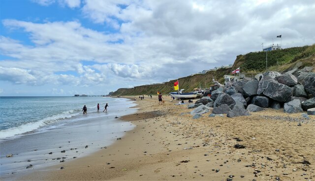
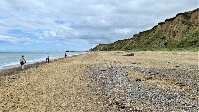
East Runton Cliffs is a 20.6-hectare (51-acre) geological Site of Special Scientific Interest west of Cromer in Norfolk. It is a Geological Conservation...

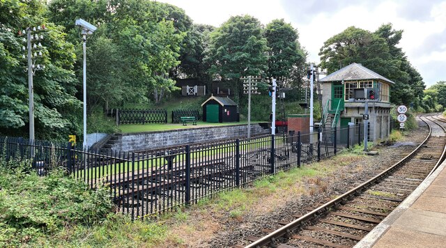
Cromer railway station

Cromer is a railway station in the English county of Norfolk. Because the Midland and Great Northern Joint Railway (M&GNJR) line approached Cromer from...

Railway stations in Cromer

The fishing port and holiday resort of Cromer in the English county of Norfolk has had a rail service since 1877. It was served by three railway stations...

Nearby Amenities

Located within 500m of 52.934108,1.2770253
Bus Stop
Clifton Park, adj
Naptan AtcoCode: 2900C3870
Naptan Bearing: E
Naptan CommonName: Clifton Park
Naptan Indicator: adj
Naptan Landmark: Clifton Park
Naptan Locality: Cromer
Naptan NaptanCode: nfogpgap
Naptan ShortCommonName: Clifton Park
Naptan Street: Runton Road
Naptan Verified: no
Source: naptan_import
Lat/Long: 52.9334226/1.2842439
Bus Stop
Stores, adj
Naptan AtcoCode: 2900R231
Naptan Bearing: SW
Naptan CommonName: Stores
Naptan Indicator: adj
Naptan Locality: East Runton
Naptan NaptanCode: nfodptgj
Naptan Street: Cromer Road
Naptan Verified: no
Source: naptan_import
Lat/Long: 52.9358228/1.2715797
Bus Stop
Stores, opp
Naptan AtcoCode: 2900R2316
Naptan Bearing: E
Naptan CommonName: Stores
Naptan Indicator: opp
Naptan Locality: East Runton
Naptan NaptanCode: nfodptjd
Naptan Street: Cromer Road
Naptan Verified: no
Source: naptan_import
Lat/Long: 52.9359396/1.2720477
Bus Stop
Wyndham Park, adj
Naptan AtcoCode: 2900R2317
Naptan Bearing: SE
Naptan CommonName: Wyndham Park
Naptan Indicator: adj
Naptan Landmark: Wyndham Park
Naptan Locality: East Runton
Naptan NaptanCode: nfodptjg
Naptan ShortCommonName: Wyndham Park
Naptan Street: Cromer Road
Naptan Verified: no
Source: naptan_import
Lat/Long: 52.9342238/1.2793331
Bus Stop
Wyndham Park, opp
Naptan AtcoCode: 2900R2318
Naptan Bearing: NW
Naptan CommonName: Wyndham Park
Naptan Indicator: opp
Naptan Landmark: Wyndham Park
Naptan Locality: East Runton
Naptan NaptanCode: nfodptjm
Naptan ShortCommonName: Wyndham Park
Naptan Street: Cromer Road
Naptan Verified: no
Source: naptan_import
Lat/Long: 52.9341191/1.2788935
Entrance: yes
Lat/Long: 52.9370591/1.2732206
Leisure: slipway
Lat/Long: 52.9373003/1.2742743
Barrier: lift_gate
Lat/Long: 52.9336263/1.2791455
Crossing
Crossing: unmarked
Tactile Paving: yes
Lat/Long: 52.9333141/1.2833859
The Kit Bag
Shop: clothes
Lat/Long: 52.9359189/1.2712888
Toilets
Lat/Long: 52.9367434/1.2733729
Cromer Junction
Alt Name: Runton East Junction
Railway: junction
Lat/Long: 52.9319715/1.2748737
Post Box
Collection Times: Mo-Fr 09:00; Sa 07:00
Label Date: 2023-04-19
Operator: Royal Mail
Post Box Type: pillar
Ref: NR27 2715D
Royal Cypher: EIIR
Royal Cypher Wikidata: Q33102113
Source: survey
Lat/Long: 52.9358324/1.2718799
Crossing
Crossing: unmarked
Lat/Long: 52.9297967/1.2765262
Fast Food
Wills Plaice. Fish & Chips
Addr Postcode: NR27 9PA
Addr Street: Beach Road
Addr Village: East Runton
Cuisine: fish_and_chips
Fhrs Id: 281574
Source Addr: FHRS Open Data
Lat/Long: 52.9360519/1.2721084
Welcome to CROMER / Gem of the Norfolk Coast
Alt Name: Twin towns / Crest ( France ) / Nidda ( Germany )
Colour: green
Inscription: Regional Floral Winner
Man Made: village_sign
Material: metal
Traffic Sign: city_limit
Lat/Long: 52.9335998/1.283657
Crossing
Crossing: unmarked
Lat/Long: 52.934849/1.2699746
East Runton
FIXME: Inscription is incomplete
Inscription: Given by Rob & Sue Wright in memory of their daughter Kelly Marie / 28th Sept. 1996
Man Made: village_sign
Material: metal;wood
Lat/Long: 52.934925/1.2698891
Post Box
Collection Times: Mo-Fr 09:00; Sa 07:00
Operator: Royal Mail
Post Box Type: lamp
Ref: NR27 2743D
Royal Cypher: EIIR
Royal Cypher Wikidata: Q33102113
Source: survey
Survey Date: 2019-09-18
Lat/Long: 52.9340136/1.2801379
Parking Entrance
Access: yes
Addr City: East Runton
Addr Postcode: NR27 9PA
Addr Street: Beach Road
Level: 0
Lat/Long: 52.9365933/1.27288
Bench
Backrest: yes
Colour: brown
Material: wood
Seats: 3
Lat/Long: 52.9371776/1.2735874
Bench
Backrest: yes
Colour: brown
Material: wood
Seats: 3
Lat/Long: 52.9371654/1.2736465
Bench
Backrest: yes
Colour: brown
Material: wood
Seats: 3
Lat/Long: 52.9371498/1.2736926
Vending Machine
Currency GBP: yes
Operator: North Norfolk District Council
Payment Coins: yes
Payment Credit Cards: yes
Vending: parking_tickets
Lat/Long: 52.936641/1.2729496
Access: private
Barrier: lift_gate
Horse: no
Lat/Long: 52.9371153/1.273009
Waste Basket
Lat/Long: 52.9367291/1.2734161
Recycling
Recycling Type: container
Lat/Long: 52.9367253/1.2733932
Give Way
Direction: backward
Lat/Long: 52.9359309/1.2722696
Historic: memorial
Inscription: yes
Material: stone
Lat/Long: 52.9371075/1.2735235
Street Lamp
Hiking: yes
Information: guidepost
Ref: 31
Tourism: information
Lat/Long: 52.9358202/1.2707756
Defibrillator
Access: yes
Colour: yellow
Defibrillator Location: outside community store, Cromer Road, East Runton
Emergency: defibrillator
Indoor: no
Ref GB The Circuit: 0F4CA704-F597-4FD6-A101-AD8000CC029A
Lat/Long: 52.9358419/1.2721674
Crossing
Crossing: unmarked
Kerb: flush
Tactile Paving: yes
Lat/Long: 52.9358994/1.2721315
Bench
Backrest: yes
Colour: light_brown
Inscription: Wooley’s Bench / Made possible by kind donations from family & friends / 19858 - 2016 / Cheers!
Material: wood
Lat/Long: 52.936146/1.2723508
Bench
Backrest: yes
Colour: grey
Inscription: no
Material: wood
Seats: 4
Lat/Long: 52.9373804/1.2737697
Bench
Backrest: yes
Colour: grey
Inscription: no
Material: wood
Seats: 5
Lat/Long: 52.937398/1.2737955
Waste Basket
Litter
Colour: black
Material: plastic
Waste: trash
Lat/Long: 52.9370686/1.2734102
The Parish of Runton
Board Type: history
Description: History and photos of West and East Runton
Information: board
Tourism: information
Lat/Long: 52.9356549/1.2708199
Colour: black
Hiking: yes
Information: route_marker
Inscription: Circular Walk
Material: wood
Tourism: information
Lat/Long: 52.9356628/1.2708209
Give Way
Lat/Long: 52.9357522/1.2707501
Bench
Backrest: yes
Material: wood
Seats: 2
Lat/Long: 52.935159/1.2705329
Waste Basket
Colour: black
Material: plastic
Waste: trash
Lat/Long: 52.9349989/1.2713886
Give Way
Lat/Long: 52.9333043/1.283319
Give Way
Lat/Long: 52.9335206/1.283287
Defibrillator
Defibrillator
Access: yes
Colour: yellow
Defibrillator Location: Outside gates
Emergency: defibrillator
Indoor: no
Opening Hours: 24/7
Postal Code: NR27 9NH
Ref GB The Circuit: CEEFCE73-00F7-4642-8AFF-B07D00B9B370
Lat/Long: 52.9336929/1.2830434
The data included in this document is from www.openstreetmap.org. The data is made available under ODbL.

Have you been to Muckle Hill?

Leave your review of Muckle Hill below (or comments, questions and feedback).