Long Grove
Wood, Forest in Norfolk Norwich
England
Long Grove
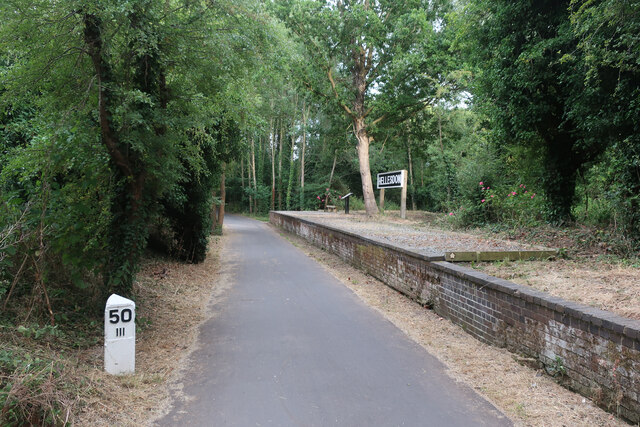
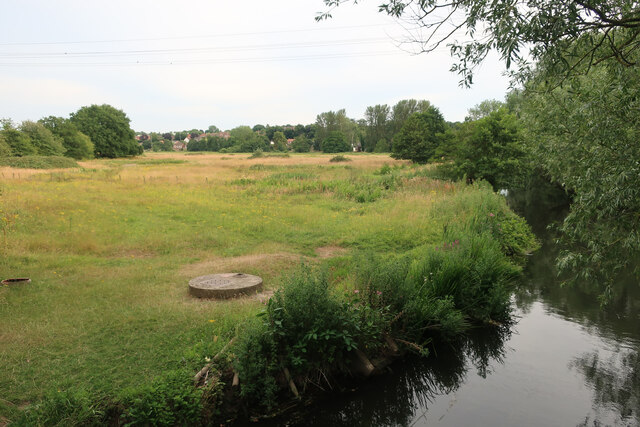
Long Grove, Norfolk is a picturesque woodland located in the eastern part of England. Situated in the county of Norfolk, it is known for its enchanting natural beauty and serene atmosphere. Covering an area of approximately 300 acres, Long Grove is a haven for nature lovers and outdoor enthusiasts.
The woodland is primarily composed of dense deciduous trees, creating a lush and vibrant landscape throughout the year. Oak, ash, and beech trees dominate the area, providing a rich habitat for a diverse range of flora and fauna. Bluebells, wild garlic, and ferns carpet the forest floor, adding to its ethereal charm.
Long Grove is home to a variety of wildlife, including deer, foxes, badgers, and numerous bird species. The woodland serves as a crucial sanctuary for these animals, providing them with shelter and sustenance. Birdwatchers often visit Long Grove to catch a glimpse of rare species such as woodpeckers, owls, and buzzards.
The forest offers a network of well-maintained footpaths and trails, allowing visitors to explore its beauty at their own pace. Hiking and cycling are popular activities, as the area offers a mix of gentle slopes and flat terrain. The tranquility of the woodland also makes it an ideal spot for picnics and nature photography.
Long Grove, Norfolk is a cherished natural treasure, offering a respite from the hustle and bustle of urban life. Its idyllic setting and abundant wildlife make it a must-visit destination for those seeking solace in nature's embrace.
If you have any feedback on the listing, please let us know in the comments section below.
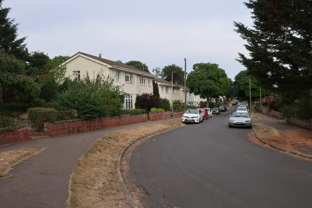
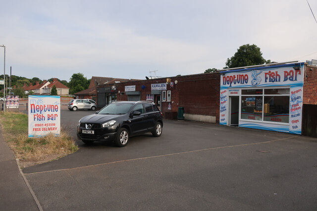
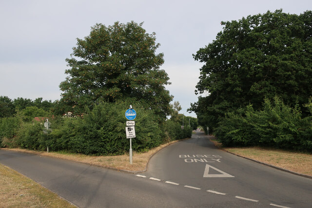
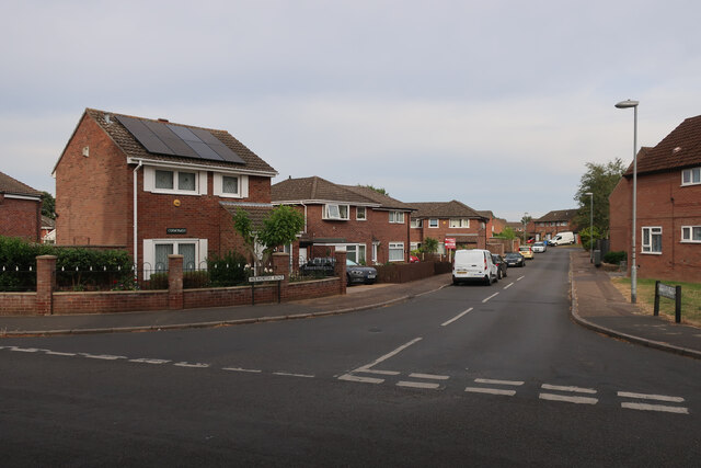
Long Grove Images
Images are sourced within 2km of 52.627883/1.2426708 or Grid Reference TG1908. Thanks to Geograph Open Source API. All images are credited.


Long Grove is located at Grid Ref: TG1908 (Lat: 52.627883, Lng: 1.2426708)
Administrative County: Norfolk
District: Norwich
Police Authority: Norfolk
What 3 Words
///slide.plus.just. Near Bowthorpe, Norfolk
Nearby Locations
Related Wikis
City Academy Norwich
City Academy Norwich is a secondary school in Norwich, England. It opened in September 2009, replacing Earlham High School. It is located near the University...

Earlham Hall
Earlham Hall is a country house in Norfolk, England. It is located just to the west of the city of Norwich, on Earlham Road, on the outskirts of the village...

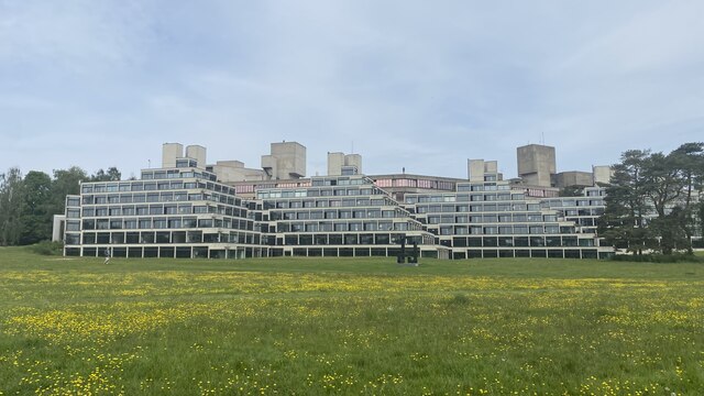
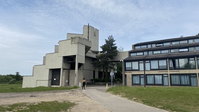
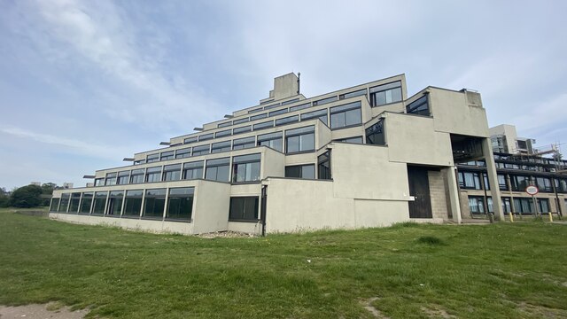
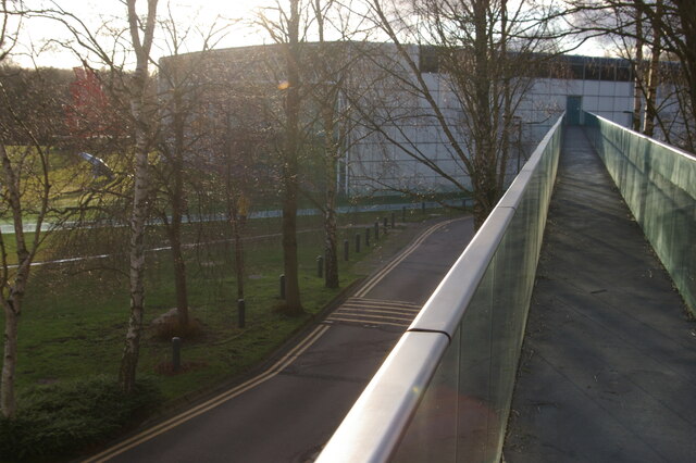
University of East Anglia
The University of East Anglia (UEA) is a public research university in Norwich, England. Established in 1963 on a 320-acre (130-hectare) campus west of...
UEA School of International Development
The School of International Development (formerly The School of Development Studies) is a department at the University of East Anglia, Norwich, England...

Climatic Research Unit
The Climatic Research Unit (CRU) is a component of the University of East Anglia and is one of the leading institutions concerned with the study of natural...

Earlham Park Woods
Earlham Park Woods is a 8.1-hectare (20-acre) Local Nature Reserve on the western outskirts of Norwich in Norfolk. It is owned and managed by Norwich...
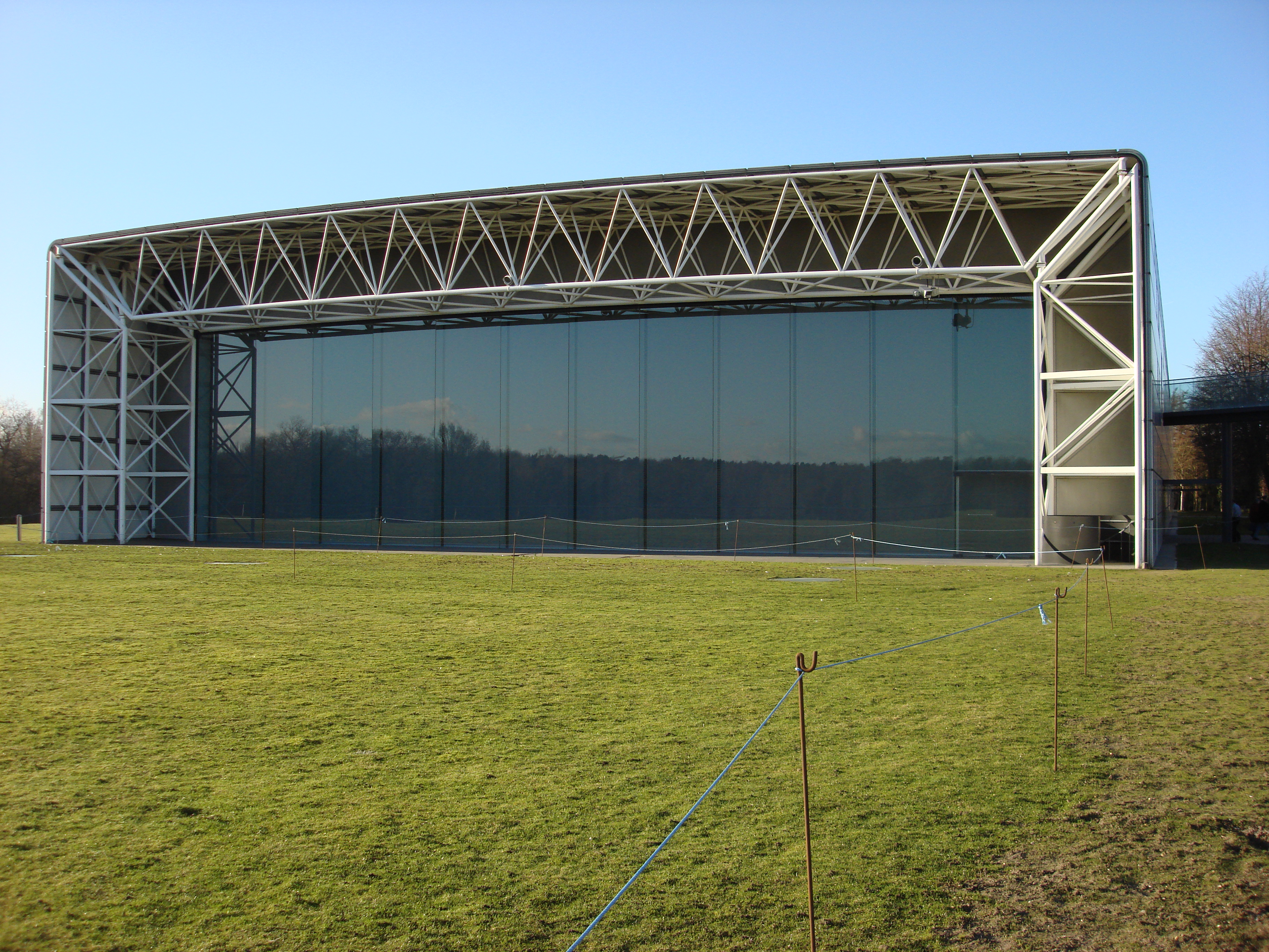
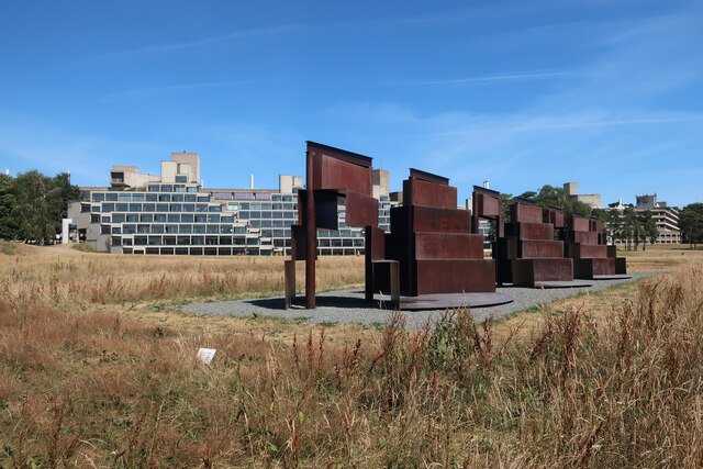
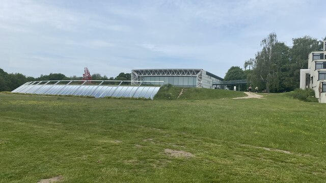
Sainsbury Centre for Visual Arts
The Sainsbury Centre is an art gallery and museum located on the campus of the University of East Anglia, Norwich, England. The building, which contains...
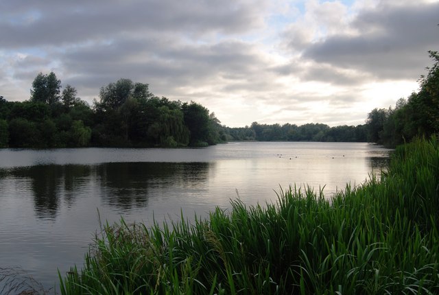
UEA Broad
UEA Broad is an area of open water that neighbours the University of East Anglia, from which it gets its name. It is a part of The Broads in Norfolk....
Related Videos

Norwich UK | The Plantation Garden walking tour ( July 2022 )
Recorded July 2022 Today we will be walking around the beautiful Plantation Gardens in Norwich! Please Don't Forget to Like ...

Eaton Park Norwich, Jubilee Holiday DJI Mini 2, 2nd June 2022 4K UHD
Took a trip into Norwich today to soak up the Jubilee Buzz, this clip was taken in Eaton Park ...
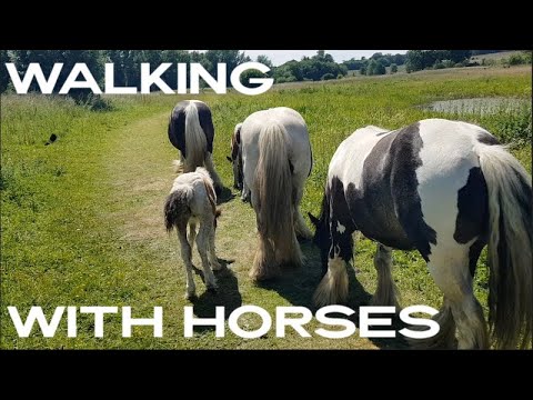
🇬🇧 UK. VanLife S12E59 Walking With Horses 🐴 🐎
Often when you play with horses they are bred racehorses on the other side of the fence, but to actually walk with a family of wild ...

Travel Bear - Avengers HQ & Academy
A certain university I attended, and revisited recently has an alter ego. #uktravel #norwich #eastanglia #england #gaytravel ...
Nearby Amenities
Located within 500m of 52.627883,1.2426708Have you been to Long Grove?
Leave your review of Long Grove below (or comments, questions and feedback).