Trenleypark Wood

Wood, Forest in Kent Canterbury

England

Trenleypark Wood

Westbere Marshes Shortly before the Second World War, a seam of gravel was discovered in the area now occupied by Westbere Lake. More than six and a half million tons of aggregate were excavated here over the next 40 years. In 1971, after gravel extraction became uneconomic, a full-scale restoration programme was begun which in time led to the current lake and surrounding landscape.

The whole area is now a Site of Special Scientific Interest and has a Ramsar designation. This is a dead-end path to the east of the lake. Westbere Marshes are to the right and the River Great Stour is out of sight to the left beyond dense riverside vegetation.
Westbere Marshes Credit: Marathon

Trenleypark Wood is a picturesque woodland located in Kent, a county in southeastern England. Covering an area of approximately 50 acres, this wood is situated in the heart of the Kent Downs, an Area of Outstanding Natural Beauty. The wood is easily accessible, located just a short distance from the village of Trenley and accessible by foot or car.

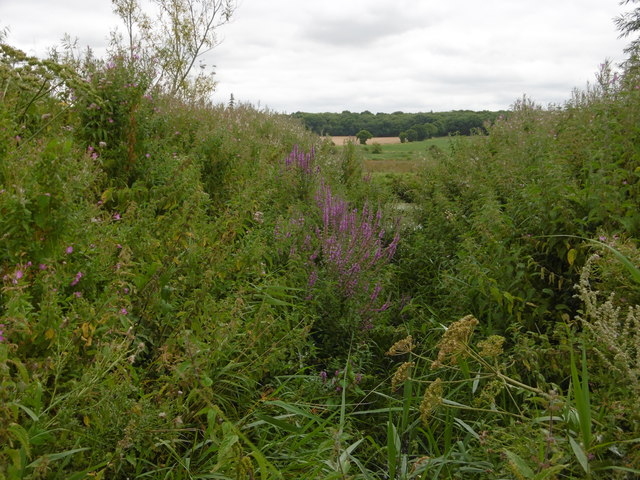
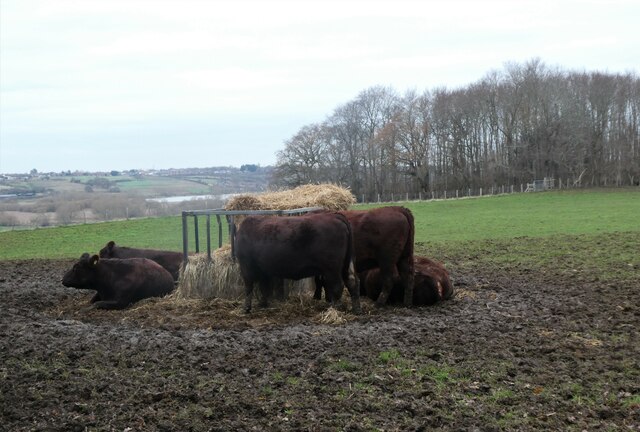
The woodland is predominantly composed of broadleaf trees, including oak, beech, and ash, creating a diverse and vibrant ecosystem. These trees provide a dense canopy, allowing little sunlight to reach the forest floor and creating a shaded and tranquil environment. The woodland is known for its rich biodiversity, with an abundance of wildlife including deer, foxes, badgers, and a variety of bird species.

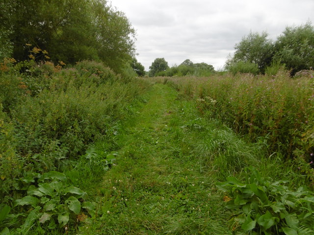
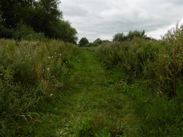
Trenleypark Wood offers a range of walking trails, allowing visitors to explore the beauty of the wood and discover its hidden gems. A well-maintained network of paths winds through the woodland, providing opportunities for both leisurely strolls and more challenging hikes. The wood is also a popular spot for nature enthusiasts and birdwatchers, with several designated areas for wildlife observation.

Visitors to Trenleypark Wood can enjoy the peace and serenity of the natural surroundings, as well as the stunning views of the surrounding countryside. The wood is a designated Site of Special Scientific Interest, recognizing its importance for conservation and wildlife preservation. It offers a welcome retreat from the hustle and bustle of everyday life, providing a tranquil haven for both locals and tourists alike.

If you have any feedback on the listing, please let us know in the comments section below.

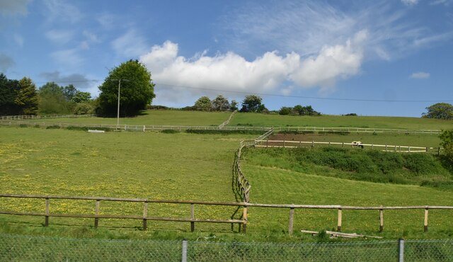
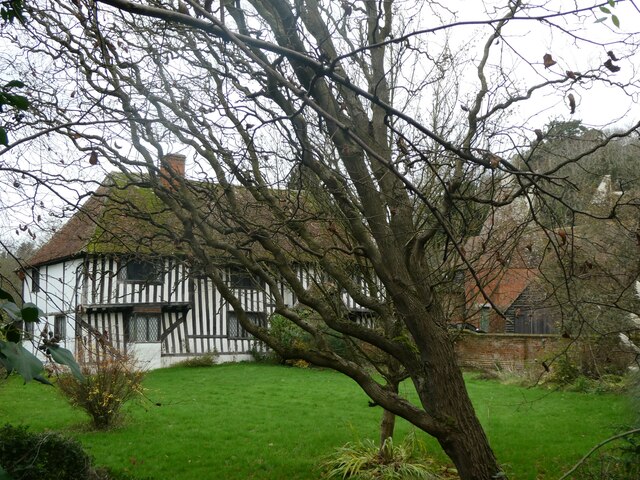
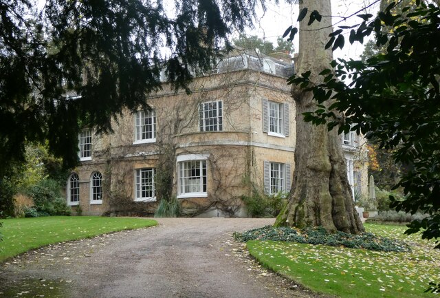
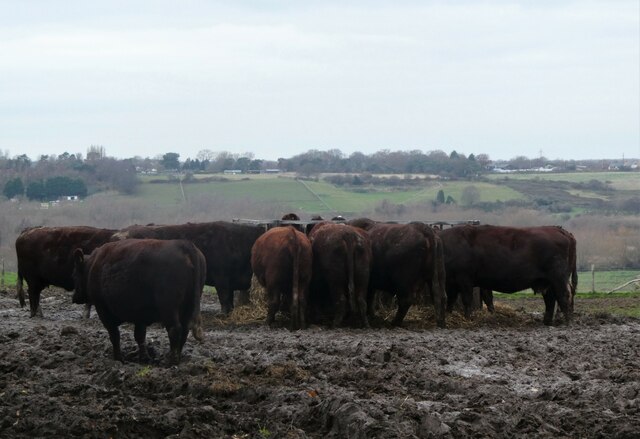
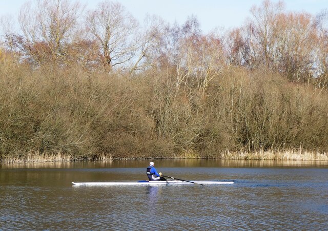
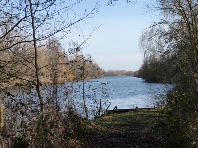
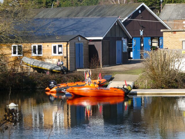
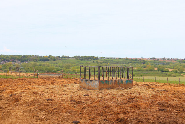
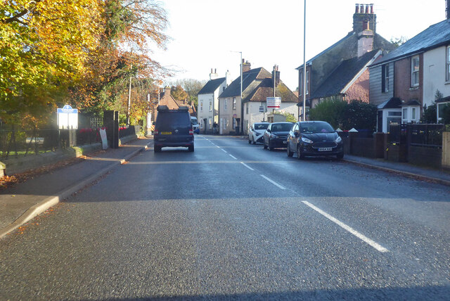
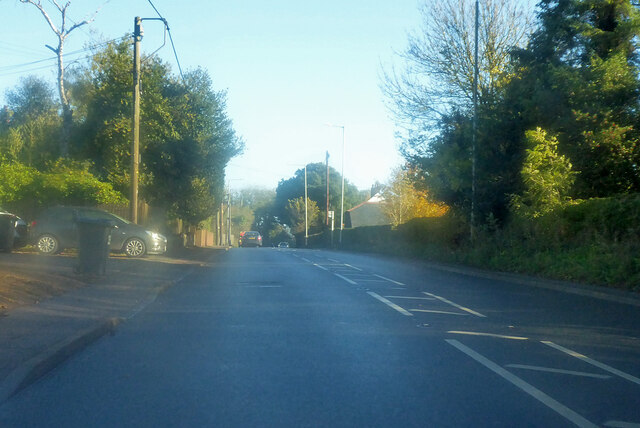
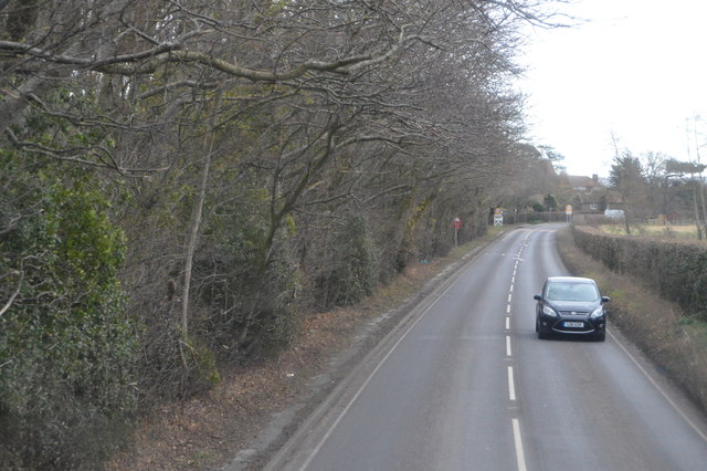
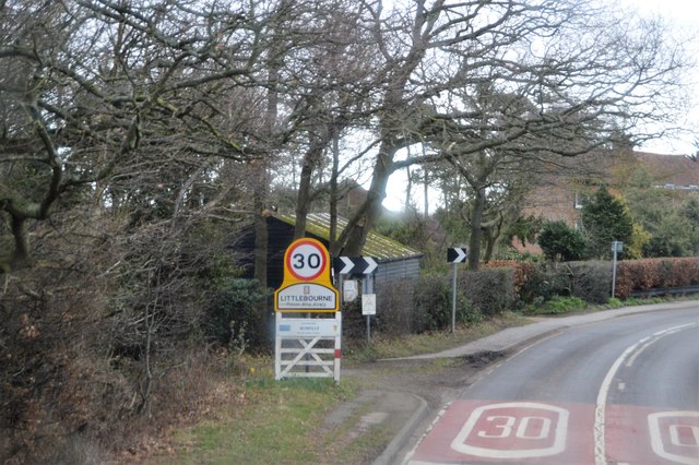
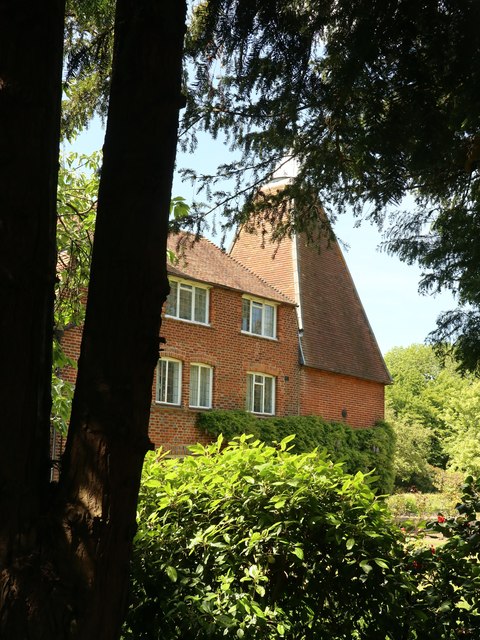
Trenleypark Wood Images

Images are sourced within 2km of 51.291636/1.1476091 or Grid Reference TR1959. Thanks to Geograph Open Source API. All images are credited.

Westbere Marshes Shortly before the Second World War, a seam of gravel was discovered in the area now occupied by Westbere Lake. More than six and a half million tons of aggregate were excavated here over the next 40 years. In 1971, after gravel extraction became uneconomic, a full-scale restoration programme was begun which in time led to the current lake and surrounding landscape.

The whole area is now a Site of Special Scientific Interest and has a Ramsar designation. This is a dead-end path to the east of the lake. Westbere Marshes are to the right and the River Great Stour is out of sight to the left beyond dense riverside vegetation.
Westbere Marshes
Shortly before the Second World War, a seam of gravel was discovered in the area now occupied by Westbere Lake. More than six and a half million tons of aggregate were excavated here over the next 40 years. In 1971, after gravel extraction became uneconomic, a full-scale restoration programme was begun which in time led to the current lake and surrounding landscape. The whole area is now a Site of Special Scientific Interest and has a Ramsar designation. This is a dead-end path to the east of the lake. Westbere Marshes are to the right and the River Great Stour is out of sight to the left beyond dense riverside vegetation.
Path on Westbere Marshes Shortly before the Second World War, a seam of gravel was discovered in the area now occupied by Westbere Lake. More than six and a half million tons of aggregate were excavated here over the next 40 years. In 1971, after gravel extraction became uneconomic, a full-scale restoration programme was begun which in time led to the current lake and surrounding landscape.

The whole area is now a Site of Special Scientific Interest and has a Ramsar designation. This is a dead-end path to the east of the lake. Westbere Marshes are to the right and the River Great Stour is out of sight to the left beyond dense riverside vegetation.
Path on Westbere Marshes
Shortly before the Second World War, a seam of gravel was discovered in the area now occupied by Westbere Lake. More than six and a half million tons of aggregate were excavated here over the next 40 years. In 1971, after gravel extraction became uneconomic, a full-scale restoration programme was begun which in time led to the current lake and surrounding landscape. The whole area is now a Site of Special Scientific Interest and has a Ramsar designation. This is a dead-end path to the east of the lake. Westbere Marshes are to the right and the River Great Stour is out of sight to the left beyond dense riverside vegetation.
Looking across the River Great Stour Shortly before the Second World War, a seam of gravel was discovered in the area now occupied by Westbere Lake. More than six and a half million tons of aggregate were excavated here over the next 40 years. In 1971, after gravel extraction became uneconomic, a full-scale restoration programme was begun which in time led to the current lake and surrounding landscape.

The whole area is now a Site of Special Scientific Interest and has a Ramsar designation. This is looking from a dead-end path to the east of the lake across the River Great Stour. The river is almost out of sight because of the dense riverside vegetation. Stodmarsh Court Wood is on the horizon across the valley.
Looking across the River Great Stour
Shortly before the Second World War, a seam of gravel was discovered in the area now occupied by Westbere Lake. More than six and a half million tons of aggregate were excavated here over the next 40 years. In 1971, after gravel extraction became uneconomic, a full-scale restoration programme was begun which in time led to the current lake and surrounding landscape. The whole area is now a Site of Special Scientific Interest and has a Ramsar designation. This is looking from a dead-end path to the east of the lake across the River Great Stour. The river is almost out of sight because of the dense riverside vegetation. Stodmarsh Court Wood is on the horizon across the valley.
Solar panels, Westbere
Paddocks, Westbere
Paddocks, Westbere
Elbridge Farmhouse, Court Hill, Littlebourne A C15 timber-framed and close-studded hall-house, Grade II* listed.
Elbridge Farmhouse, Court Hill, Littlebourne
A C15 timber-framed and close-studded hall-house, Grade II* listed.
Elbridge House, Littlebourne Situated on Court Hill, built about 1803 by the Denne family. A Grade II listed building.
Elbridge House, Littlebourne
Situated on Court Hill, built about 1803 by the Denne family. A Grade II listed building.
Heifers by Stodmarsh Road, near Littlebourne Looking towards Westbere and Hersden.
Heifers by Stodmarsh Road, near Littlebourne
Looking towards Westbere and Hersden.
Heifers by Stodmarsh Road, near Littlebourne Looking towards Westbere.
Heifers by Stodmarsh Road, near Littlebourne
Looking towards Westbere.
Sculling at Westbere On the western tip of Westbere Marshes. The site is an extensive 95-acre wetland reserve consisting primarily of expanses of reedbed interspersed by ditches, ponds and stands of mature willow. It was a site of gravel extraction until the 1970s.
Sculling at Westbere
On the western tip of Westbere Marshes. The site is an extensive 95-acre wetland reserve consisting primarily of expanses of reedbed interspersed by ditches, ponds and stands of mature willow. It was a site of gravel extraction until the 1970s.
Westbere Marshes, near  Fordwich The western tip of Westbere Marshes. The site is an extensive 95-acre wetland reserve consisting primarily of expanses of reedbed interspersed by ditches, ponds and stands of mature willow. It was a site of gravel extraction until the 1970s.
Westbere Marshes, near Fordwich
The western tip of Westbere Marshes. The site is an extensive 95-acre wetland reserve consisting primarily of expanses of reedbed interspersed by ditches, ponds and stands of mature willow. It was a site of gravel extraction until the 1970s.
King's School Canterbury Boat Club, Sturry A rowing club based at Brett Sturry Quarry, Westbere Lakes.
King's School Canterbury Boat Club, Sturry
A rowing club based at Brett Sturry Quarry, Westbere Lakes.
Field near Elbridge Farm Field used for grazing.
Field near Elbridge Farm
Field used for grazing.
A28 Mill Road, Sturry Towards Margate.
A28 Mill Road, Sturry
Towards Margate.
A28 Staines Hill, Sturry Towards Margate.
A28 Staines Hill, Sturry
Towards Margate.
A257 The A257 is an 11 mile road from Canterbury to Sandwich.
<span class="nowrap"><a title="http://www.sabre-roads.org.uk/wiki/index.php?title=A257" rel="nofollow ugc noopener" href="http://www.sabre-roads.org.uk/wiki/index.php?title=A257">Link</a><img style="margin-left:2px;" alt="External link" title="External link - shift click to open in new window" src="https://s1.geograph.org.uk/img/external.png" width="10" height="10"/></span>
A257
The A257 is an 11 mile road from Canterbury to Sandwich. LinkExternal link
Entering Littlebourne, A257 The A257 is an 11 mile road from Canterbury to Sandwich.
<span class="nowrap"><a title="http://www.sabre-roads.org.uk/wiki/index.php?title=A257" rel="nofollow ugc noopener" href="http://www.sabre-roads.org.uk/wiki/index.php?title=A257">Link</a><img style="margin-left:2px;" alt="External link" title="External link - shift click to open in new window" src="https://s1.geograph.org.uk/img/external.png" width="10" height="10"/></span>
Entering Littlebourne, A257
The A257 is an 11 mile road from Canterbury to Sandwich. LinkExternal link
Old Oast, The Hill, Littlebourne Single square kiln oast house.
Old Oast, The Hill, Littlebourne
Single square kiln oast house.
Show me another place!

Trenleypark Wood is located at Grid Ref: TR1959 (Lat: 51.291636, Lng: 1.1476091)

Administrative County: Kent

District: Canterbury

Police Authority: Kent

What 3 Words

///arranges.smooth.unloads. Near Sturry, Kent

Nearby Locations

Trenleypark Wood

Related Wikis

Church of St Mary the Virgin, Fordwich

The Church of St Mary the Virgin is a redundant Anglican church in the small town of Fordwich, Kent, England. It is recorded in the National Heritage...

Fordwich

Fordwich is a market town and a civil parish in east Kent, England, on the River Stour, northeast of Canterbury. It is the smallest community by population...

Fordwich Town Hall

Fordwich Town Hall is a municipal structure in King Street, Fordwich, Kent, England. The structure, which serves as the meeting place of Fordwich Town...

King's School Canterbury Boat Club

King's School Canterbury Boat Club is a rowing club based at Brett Sturry Quarry, Westbere Lakes, Sturry, Canterbury, Kent. == History == The club has...

Nearby Amenities

Located within 500m of 51.291636,1.1476091
Power: pole
Lat/Long: 51.2929644/1.1519063
Power: pole
Lat/Long: 51.2921009/1.1521022
Power: pole
Lat/Long: 51.2909021/1.1523778
Power: pole
Lat/Long: 51.2941216/1.1516271
Power: pole
Lat/Long: 51.2900956/1.1525576
Power: pole
Lat/Long: 51.2931413/1.1518603
Power: pole
Lat/Long: 51.2892304/1.1527874
Power: pole
Lat/Long: 51.2949526/1.1514258
Barrier: stile
Foot: yes
Source: survey
Lat/Long: 51.2902224/1.1529528
Barrier: cattle_grid
Source: survey
Lat/Long: 51.2940076/1.1533564
Barrier: kissing_gate
Foot: yes
Source: survey
Lat/Long: 51.2947917/1.1509664
The data included in this document is from www.openstreetmap.org. The data is made available under ODbL.

Have you been to Trenleypark Wood?

Leave your review of Trenleypark Wood below (or comments, questions and feedback).