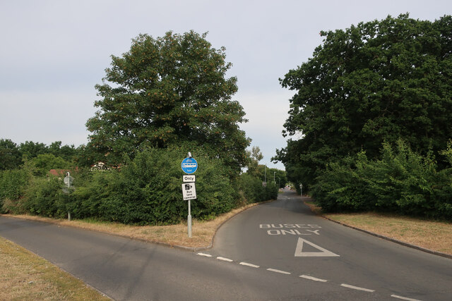
Old House Plantation
Wood, Forest in Norfolk Norwich
England
Old House Plantation
Old House Plantation, located in Norfolk, is a historic estate nestled in a picturesque wood and forest setting. With a rich history dating back to the 18th century, this plantation exhibits the architectural style and charm of the colonial era.
The main house, a grand two-story structure, features a symmetrical design and a classic colonial façade. Its white clapboard exterior is complemented by a prominent portico, supported by elegant columns. The interior showcases period details such as intricate moldings, hardwood floors, and large fireplaces, providing a glimpse into the past.
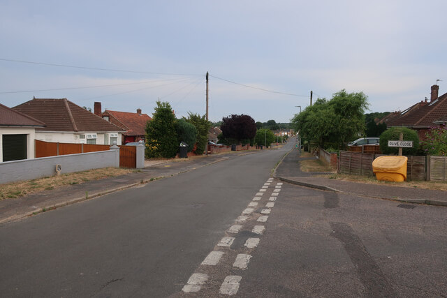
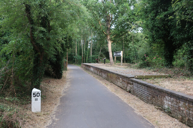
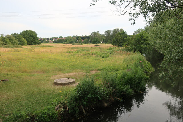
Surrounding the main house, the plantation boasts sprawling grounds adorned with towering trees, lush gardens, and winding pathways. The wood and forest areas offer a serene atmosphere, making it an ideal spot for nature enthusiasts and history lovers alike. A well-maintained garden adds to the beauty of the landscape, featuring vibrant flowers and meticulously trimmed hedges.
The plantation also includes several outbuildings that served various purposes during its prime, such as slave quarters, stables, and barns. These structures contribute to the plantation's historical significance and provide insight into the lives of those who lived and worked on the estate.
Old House Plantation is not only a testament to the region's colonial heritage but also serves as a reminder of the complex past of plantations in the United States. Visitors can explore the grounds, take guided tours, and learn about the fascinating history that unfolded within the walls of this remarkable estate.
If you have any feedback on the listing, please let us know in the comments section below.
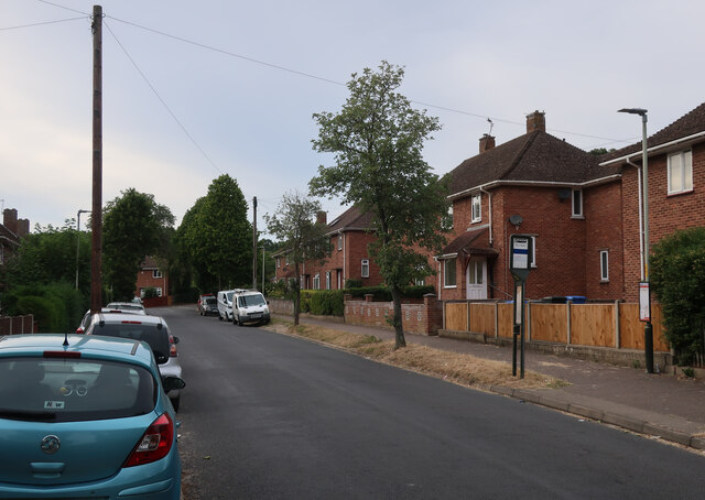
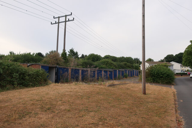
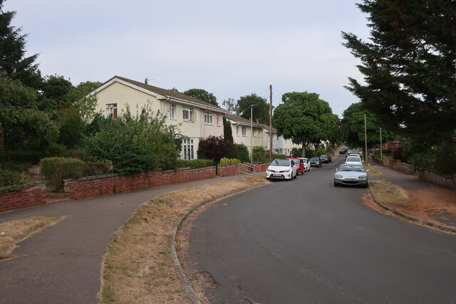
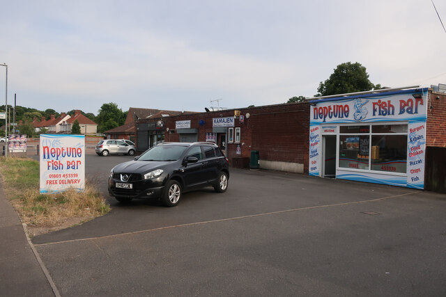
Old House Plantation Images
Images are sourced within 2km of 52.630639/1.2461413 or Grid Reference TG1908. Thanks to Geograph Open Source API. All images are credited.
Old House Plantation is located at Grid Ref: TG1908 (Lat: 52.630639, Lng: 1.2461413)
Administrative County: Norfolk
District: Norwich
Police Authority: Norfolk
What 3 Words
///kinds.earth.remedy. Near Bowthorpe, Norfolk
Nearby Locations
Related Wikis
City Academy Norwich
City Academy Norwich is a secondary school in Norwich, England. It opened in September 2009, replacing Earlham High School. It is located near the University...

Earlham Hall
Earlham Hall is a country house in Norfolk, England. It is located just to the west of the city of Norwich, on Earlham Road, on the outskirts of the village...

Norwich Community Hospital
Norwich Community Hospital is a healthcare facility in Bowthorpe Road, Norwich, Norfolk, England. It is managed by Norfolk Community Health and Care NHS...

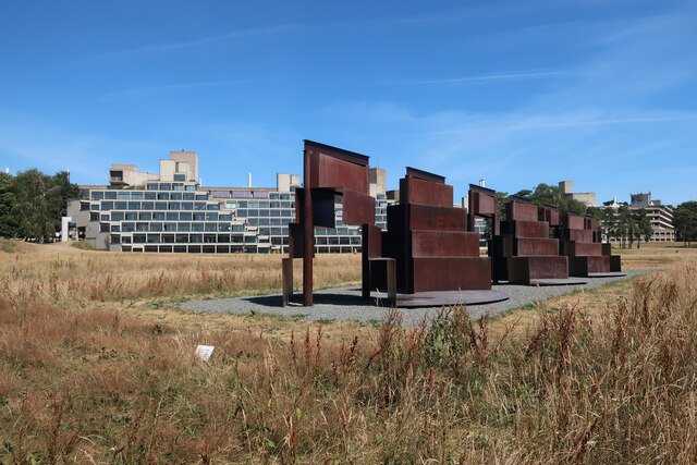
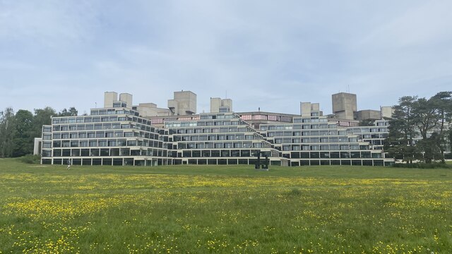
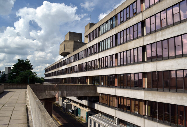
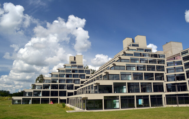
University of East Anglia
The University of East Anglia (UEA) is a public research university in Norwich, England. Established in 1963 on a 320-acre (130-hectare) campus west of...
UEA School of International Development
The School of International Development (formerly The School of Development Studies) is a department at the University of East Anglia, Norwich, England...

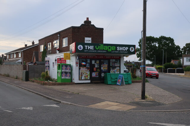
The Gatehouse, Norwich
The Gatehouse is a Grade II listed public house in Norwich, England. It was built in 1934 for the Norwich-based Morgans Brewery, and replaced a 19th-century...

Climatic Research Unit
The Climatic Research Unit (CRU) is a component of the University of East Anglia and is one of the leading institutions concerned with the study of natural...
Eaton Park
Eaton Park is a large public park located in Eaton, Norwich, England.It is 80 acres in area. == History == The park was laid out in 1923 as part of a public...
Nearby Amenities
Located within 500m of 52.630639,1.2461413Have you been to Old House Plantation?
Leave your review of Old House Plantation below (or comments, questions and feedback).