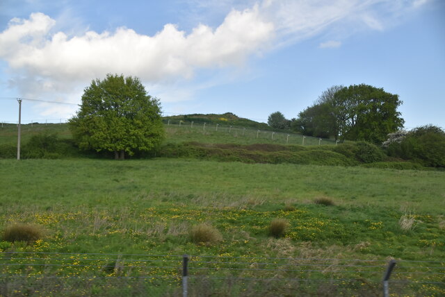
Clangate Wood

Wood, Forest in Kent Canterbury

England

Clangate Wood

13-17, The Elms A terrace of three houses, built on <a href="https://www.geograph.org.uk/photo/4825520">TR2062 : Land adjacent to 11, The Elms</a>.
13-17, The Elms Credit: John Baker

Clangate Wood, located in Kent, England, is a picturesque woodland known for its natural beauty and diverse range of flora and fauna. Spanning over a vast area, this enchanting forest offers visitors an idyllic retreat and a chance to immerse themselves in the tranquility of nature.

The wood is primarily composed of broadleaved trees, including oak, beech, and ash, which create a dense canopy that filters the sunlight, casting dappled shadows on the forest floor. The undergrowth consists of various shrubs, ferns, and wildflowers, providing a colorful and vibrant tapestry of vegetation.

Clangate Wood is home to an array of wildlife species, making it a haven for nature enthusiasts. Birdwatchers can spot a diverse range of avian species, including woodpeckers, robins, and tits, while mammal sightings may include foxes, badgers, and elusive deer.

The wood offers a network of walking trails, allowing visitors to explore its hidden corners and discover its natural wonders. The paths wind through ancient trees and lead to secluded clearings, providing opportunities for peaceful picnics or simply enjoying the sounds of chirping birds and rustling leaves.

Throughout the year, Clangate Wood offers a changing landscape that is particularly breathtaking during autumn when the foliage turns into a riot of vibrant hues. Springtime brings a carpet of bluebells that covers the forest floor, creating a breathtaking spectacle.

Overall, Clangate Wood is a captivating destination for those seeking solace in nature. With its diverse ecosystem and serene ambiance, it offers a delightful escape from the hustle and bustle of everyday life.

If you have any feedback on the listing, please let us know in the comments section below.

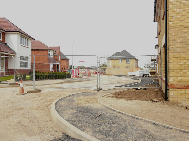
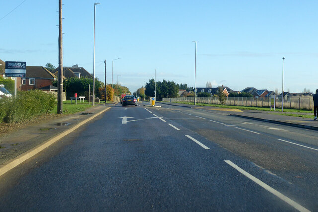
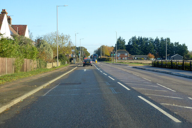
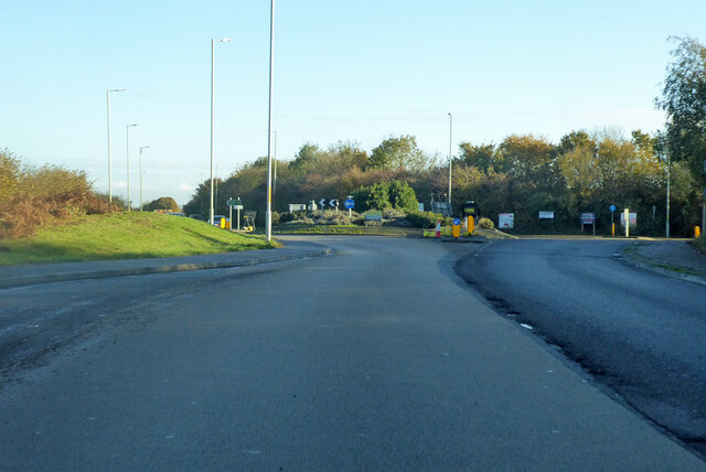
Clangate Wood Images

Images are sourced within 2km of 51.323324/1.1476406 or Grid Reference TR1962. Thanks to Geograph Open Source API. All images are credited.

13-17, The Elms A terrace of three houses, built on <a href="https://www.geograph.org.uk/photo/4825520">TR2062 : Land adjacent to 11, The Elms</a>.
13-17, The Elms
A terrace of three houses, built on TR2062 : Land adjacent to 11, The Elms.
Building site, Island Road The advertisement board reads “A development of 25 homes for rent & shared ownership delivered in partnership with Canterbury City Council”
Building site, Island Road
The advertisement board reads “A development of 25 homes for rent & shared ownership delivered in partnership with Canterbury City Council”
Longwall Lane Longwall Lane is a road on a development, which has been named The Hoplands; it has been built on land, which was once <a href="https://www.geograph.org.uk/photo/4825555">TR2061 : Hoplands Farm</a>. 

Planning permission has been granted by Canterbury City Council under application number CA//16/00404 for an “outline planning application for a neighbourhood extension for the creation of up to 250 houses including affordable housing, neighbourhood centre (comprising Class A1 food store (400sq.m), Class D1 medical centre (380sq.m), Class D1 dentist (150sq.m), Class A1 pharmacy (150sq.m), Class D1 nursery (120sq.m) and Class A1 convenience retail (360sq.m)), commercial estate (comprising Class B1 business floor space (up to 5572sq.m), Class D1 apprenticeship centre (616sq.m) and Class D1/D2 community building (up to 672sq.m)), parish parkland and associated access, parking, amenity space and landscaping.
Longwall Lane
Longwall Lane is a road on a development, which has been named The Hoplands; it has been built on land, which was once TR2061 : Hoplands Farm. Planning permission has been granted by Canterbury City Council under application number CA//16/00404 for an “outline planning application for a neighbourhood extension for the creation of up to 250 houses including affordable housing, neighbourhood centre (comprising Class A1 food store (400sq.m), Class D1 medical centre (380sq.m), Class D1 dentist (150sq.m), Class A1 pharmacy (150sq.m), Class D1 nursery (120sq.m) and Class A1 convenience retail (360sq.m)), commercial estate (comprising Class B1 business floor space (up to 5572sq.m), Class D1 apprenticeship centre (616sq.m) and Class D1/D2 community building (up to 672sq.m)), parish parkland and associated access, parking, amenity space and landscaping.
Hoplands Road Hoplands Road is a road on a development, which has been named The Hoplands; it has been built on land, which was once <a href="https://www.geograph.org.uk/photo/4825555">TR2061 : Hoplands Farm</a>. 

Planning permission has been granted by Canterbury City Council under application number CA//16/00404 for an “outline planning application for a neighbourhood extension for the creation of up to 250 houses including affordable housing, neighbourhood centre (comprising Class A1 food store (400sq.m), Class D1 medical centre (380sq.m), Class D1 dentist (150sq.m), Class A1 pharmacy (150sq.m), Class D1 nursery (120sq.m) and Class A1 convenience retail (360sq.m)), commercial estate (comprising Class B1 business floor space (up to 5572sq.m), Class D1 apprenticeship centre (616sq.m) and Class D1/D2 community building (up to 672sq.m)), parish parkland and associated access, parking, amenity space and landscaping.
Hoplands Road
Hoplands Road is a road on a development, which has been named The Hoplands; it has been built on land, which was once TR2061 : Hoplands Farm. Planning permission has been granted by Canterbury City Council under application number CA//16/00404 for an “outline planning application for a neighbourhood extension for the creation of up to 250 houses including affordable housing, neighbourhood centre (comprising Class A1 food store (400sq.m), Class D1 medical centre (380sq.m), Class D1 dentist (150sq.m), Class A1 pharmacy (150sq.m), Class D1 nursery (120sq.m) and Class A1 convenience retail (360sq.m)), commercial estate (comprising Class B1 business floor space (up to 5572sq.m), Class D1 apprenticeship centre (616sq.m) and Class D1/D2 community building (up to 672sq.m)), parish parkland and associated access, parking, amenity space and landscaping.
Elliefred, Ash Crescent This was <a href="https://www.geograph.org.uk/photo/4825530">TR2062 : Elliefred, Ash Crescent</a> during the house’s construction.
Elliefred, Ash Crescent
This was TR2062 : Elliefred, Ash Crescent during the house’s construction.
Pastureland
Pastureland
Black Horse Lane Part of a housing estate called The Hoplands for which planning permission has been granted by Canterbury City Council under application number CA//16/00404. 

An  “outline planning application for a neighbourhood extension for the creation of up to 250 houses including affordable housing, neighbourhood centre (comprising Class A1 food store (400sq.m), Class D1 medical centre (380sq.m), Class D1 dentist (150sq.m), Class A1 pharmacy (150sq.m), Class D1 nursery (120sq.m) and Class A1 convenience retail (360sq.m)), commercial estate (comprising Class B1 business floorspace (up to 5572sq.m), Class D1 apprenticeship centre (616sq.m) and Class D1/D2 community building (up to 672sq.m)), parish parkland and associated access, parking, amenity space and landscaping”.
Black Horse Lane
Part of a housing estate called The Hoplands for which planning permission has been granted by Canterbury City Council under application number CA//16/00404. An “outline planning application for a neighbourhood extension for the creation of up to 250 houses including affordable housing, neighbourhood centre (comprising Class A1 food store (400sq.m), Class D1 medical centre (380sq.m), Class D1 dentist (150sq.m), Class A1 pharmacy (150sq.m), Class D1 nursery (120sq.m) and Class A1 convenience retail (360sq.m)), commercial estate (comprising Class B1 business floorspace (up to 5572sq.m), Class D1 apprenticeship centre (616sq.m) and Class D1/D2 community building (up to 672sq.m)), parish parkland and associated access, parking, amenity space and landscaping”.
Black Horse Lane Part of a housing estate called The Hoplands for which planning permission has been granted by Canterbury City Council under application number CA//16/00404. An  “outline planning application for a neighbourhood extension for the creation of up to 250 houses including affordable housing, neighbourhood centre (comprising Class A1 food store (400sq.m), Class D1 medical centre (380sq.m), Class D1 dentist (150sq.m), Class A1 pharmacy (150sq.m), Class D1 nursery (120sq.m) and Class A1 convenience retail (360sq.m)), commercial estate (comprising Class B1 business floorspace (up to 5572sq.m), Class D1 apprenticeship centre (616sq.m) and Class D1/D2 community building (up to 672sq.m)), parish parkland and associated access, parking, amenity space and landscaping”.

The road is one of the furthest parts of this length of <a href="https://www.geograph.org.uk/photo/7309735">TR2061 : Black Horse Lane</a>.
Black Horse Lane
Part of a housing estate called The Hoplands for which planning permission has been granted by Canterbury City Council under application number CA//16/00404. An “outline planning application for a neighbourhood extension for the creation of up to 250 houses including affordable housing, neighbourhood centre (comprising Class A1 food store (400sq.m), Class D1 medical centre (380sq.m), Class D1 dentist (150sq.m), Class A1 pharmacy (150sq.m), Class D1 nursery (120sq.m) and Class A1 convenience retail (360sq.m)), commercial estate (comprising Class B1 business floorspace (up to 5572sq.m), Class D1 apprenticeship centre (616sq.m) and Class D1/D2 community building (up to 672sq.m)), parish parkland and associated access, parking, amenity space and landscaping”. The road is one of the furthest parts of this length of TR2061 : Black Horse Lane.
Longwall Lane Part of a housing estate called The Hoplands for which planning permission has been granted by Canterbury City Council under application number CA//16/00404. An  “outline planning application for a neighbourhood extension for the creation of up to 250 houses including affordable housing, neighbourhood centre (comprising Class A1 food store (400sq.m), Class D1 medical centre (380sq.m), Class D1 dentist (150sq.m), Class A1 pharmacy (150sq.m), Class D1 nursery (120sq.m) and Class A1 convenience retail (360sq.m)), commercial estate (comprising Class B1 business floorspace (up to 5572sq.m), Class D1 apprenticeship centre (616sq.m) and Class D1/D2 community building (up to 672sq.m)), parish parkland and associated access, parking, amenity space and landscaping”.

A similar view of <a href="https://www.geograph.org.uk/photo/6935546">TR2061 : Longwall Lane</a> was taken in July 2021.
Longwall Lane
Part of a housing estate called The Hoplands for which planning permission has been granted by Canterbury City Council under application number CA//16/00404. An “outline planning application for a neighbourhood extension for the creation of up to 250 houses including affordable housing, neighbourhood centre (comprising Class A1 food store (400sq.m), Class D1 medical centre (380sq.m), Class D1 dentist (150sq.m), Class A1 pharmacy (150sq.m), Class D1 nursery (120sq.m) and Class A1 convenience retail (360sq.m)), commercial estate (comprising Class B1 business floorspace (up to 5572sq.m), Class D1 apprenticeship centre (616sq.m) and Class D1/D2 community building (up to 672sq.m)), parish parkland and associated access, parking, amenity space and landscaping”. A similar view of TR2061 : Longwall Lane was taken in July 2021.
Hoath, Holy Cross
Hoath, Holy Cross
Lakehill Road Part of a housing estate called The Hoplands for which planning permission has been granted by Canterbury City Council under application number CA//16/00404.
Lakehill Road
Part of a housing estate called The Hoplands for which planning permission has been granted by Canterbury City Council under application number CA//16/00404.
Unnamed Road Part of a housing estate called The Hoplands for which planning permission has been granted by Canterbury City Council under application number CA//16/00404.
Unnamed Road
Part of a housing estate called The Hoplands for which planning permission has been granted by Canterbury City Council under application number CA//16/00404.
A28 Island Road, Hersden Towards Margate.
A28 Island Road, Hersden
Towards Margate.
A28 Island Road, Hersden Towards Margate.
A28 Island Road, Hersden
Towards Margate.
Roundabout on A28 Serving industrial parks off to the right.
Roundabout on A28
Serving industrial parks off to the right.
Land adjacent to 11, The Elms Planning permission has been granted by Canterbury City Council under application number CA//15/01035 for the erection of “two residential dwellings with associated parking and amenity space”. Number 11 is to the left of the wall.

A terrace of three houses, numbered <a href="https://www.geograph.org.uk/photo/6934681">TR2062 : 13-17, The Elms</a>, were built on the site.
Land adjacent to 11, The Elms
Planning permission has been granted by Canterbury City Council under application number CA//15/01035 for the erection of “two residential dwellings with associated parking and amenity space”. Number 11 is to the left of the wall. A terrace of three houses, numbered TR2062 : 13-17, The Elms, were built on the site.
Show me another place!

Clangate Wood is located at Grid Ref: TR1962 (Lat: 51.323324, Lng: 1.1476406)

Administrative County: Kent

District: Canterbury

Police Authority: Kent

What 3 Words

///factually.soggy.stiff. Near Sturry, Kent

Related Wikis

Frank Montgomery School

The Frank Montgomery School was a mixed-gender secondary modern school in the village of Sturry near Canterbury in east Kent. It was founded in 1935 and...

Spires Academy

The Spires Academy is a non-selective secondary school for pupils aged 11–16 in Canterbury, Kent. There is a sixth form. The school has dual specialist...

Hersden

Hersden is a village east of Canterbury in Kent, South East England. It was established as a planned coalmining village in the 1920s and is on the A28...

East Blean Woods

East Blean Woods is a 151.4-hectare (374-acre) biological Site of Special Scientific Interest south of Herne Bay in Kent. It is also a National Nature...

Hoath

Hoath is a semi-rural village and civil parish in the City of Canterbury local government district. The hamlets of Knaves Ash, Maypole, Ford, Old Tree...

Maypole Airfield

Maypole Airfield (ICAO: EGHB) was a general aviation airfield located 2.5 miles (4.0 km) south of Herne Bay, Kent and 5.2 miles (8.4 km) north east of...

Chislet Colliery Halt railway station

Chislet Colliery Halt was a minor station on the Ashford to Ramsgate line. It opened in September 1919 and closed in 1971. == History == Chislet Colliery...

Westbere

Westbere is a small village and civil parish in Kent, England, centred 4 miles (6.4 km) north-east of Canterbury city centre along the A28 road to the...

Nearby Amenities

Located within 500m of 51.323324,1.1476406
Disused: yes
Postal Code: CT3
Ref: CT3 233
Removed Amenity: post_box
Source: survey
Lat/Long: 51.3210256/1.1432457
Barrier: stile
Foot: yes
Source: survey
Lat/Long: 51.3246285/1.1422676
SH FID 18
Power: tower
Lat/Long: 51.3201336/1.1519521
The data included in this document is from www.openstreetmap.org. The data is made available under ODbL.

Have you been to Clangate Wood?

Leave your review of Clangate Wood below (or comments, questions and feedback).