Ash Plantation

Wood, Forest in Kent Canterbury

England

Ash Plantation

13-17, The Elms A terrace of three houses, built on <a href="https://www.geograph.org.uk/photo/4825520">TR2062 : Land adjacent to 11, The Elms</a>.
13-17, The Elms Credit: John Baker

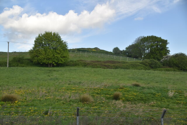
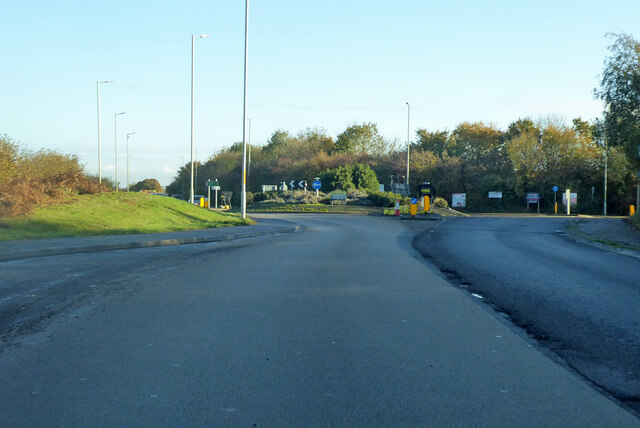
Ash Plantation is a well-known woodland area located in Kent, England. Covering approximately 200 acres, it is a popular destination for nature enthusiasts and hikers alike. The plantation is primarily composed of ash trees, hence its name, but also features a diverse range of other tree species, including oak, birch, and beech.

The woodland is managed by the local forestry commission and is carefully maintained to preserve its natural beauty and biodiversity. The plantation is home to a variety of wildlife, including deer, foxes, rabbits, and numerous bird species. Visitors to Ash Plantation can often spot these animals in their natural habitat while exploring the trails and paths that wind through the forest.

The woodland is also known for its picturesque scenery, with its dense canopy of trees providing shade and tranquility. It is a popular destination for picnics and family outings, providing a peaceful escape from the hustle and bustle of everyday life.

Ash Plantation is easily accessible, with well-marked trails and ample parking facilities. It is open to the public year-round, offering visitors the opportunity to experience the changing seasons and the beauty of nature in all its glory. Whether it's a leisurely stroll or a more adventurous hike, Ash Plantation provides a welcoming environment for all nature lovers to explore and enjoy.

If you have any feedback on the listing, please let us know in the comments section below.

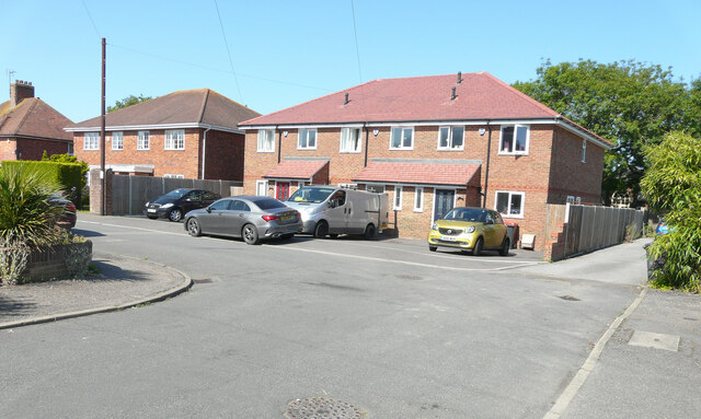
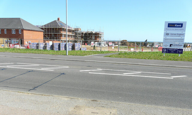
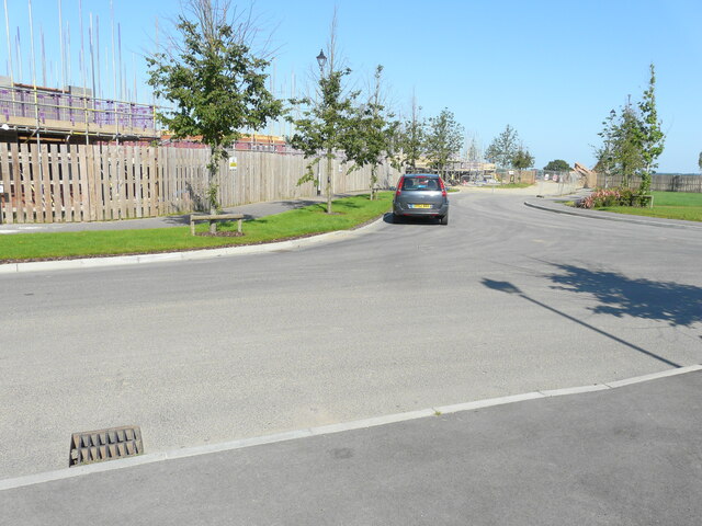
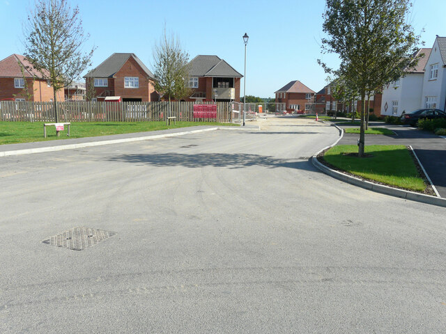
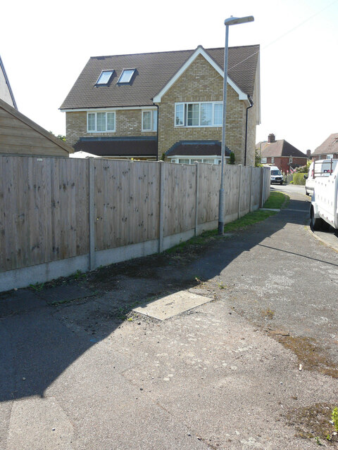
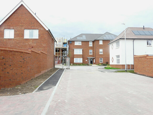
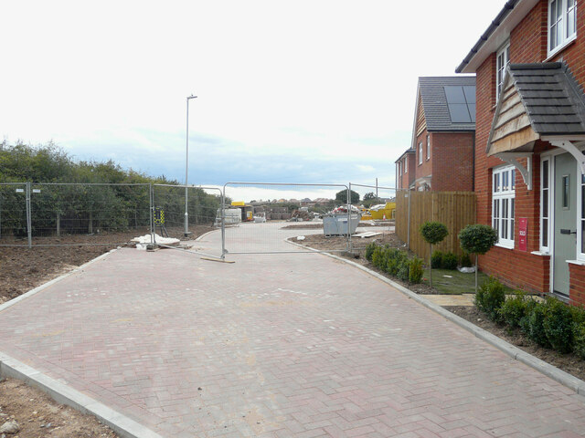
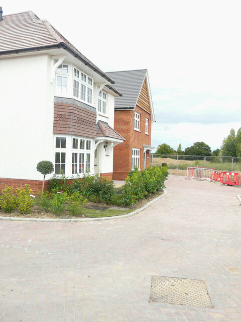
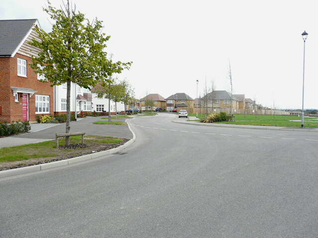
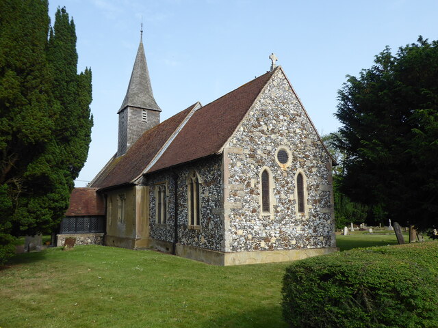
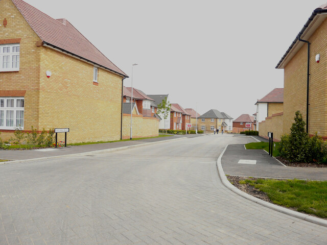
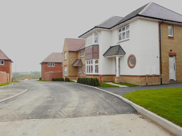
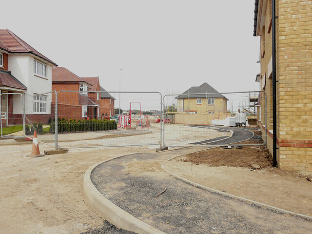
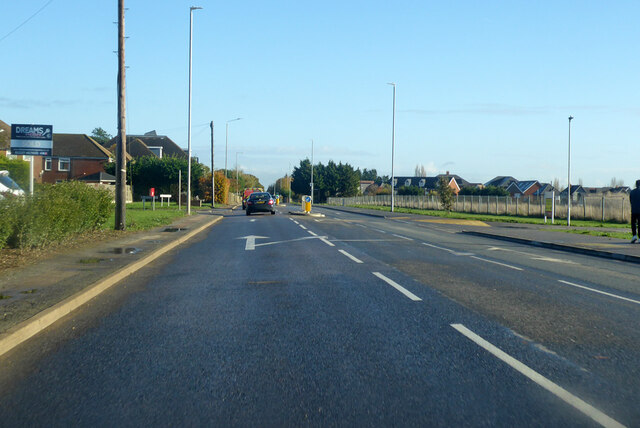
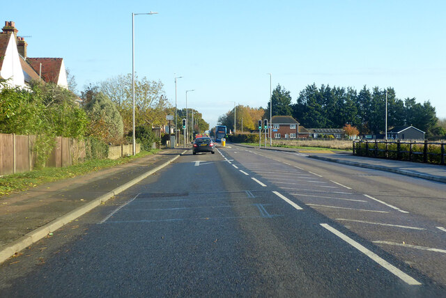
Ash Plantation Images

Images are sourced within 2km of 51.319157/1.1530538 or Grid Reference TR1962. Thanks to Geograph Open Source API. All images are credited.

13-17, The Elms A terrace of three houses, built on <a href="https://www.geograph.org.uk/photo/4825520">TR2062 : Land adjacent to 11, The Elms</a>.
13-17, The Elms
A terrace of three houses, built on TR2062 : Land adjacent to 11, The Elms.
Building site, Island Road The advertisement board reads “A development of 25 homes for rent & shared ownership delivered in partnership with Canterbury City Council”
Building site, Island Road
The advertisement board reads “A development of 25 homes for rent & shared ownership delivered in partnership with Canterbury City Council”
Longwall Lane Longwall Lane is a road on a development, which has been named The Hoplands; it has been built on land, which was once <a href="https://www.geograph.org.uk/photo/4825555">TR2061 : Hoplands Farm</a>. 

Planning permission has been granted by Canterbury City Council under application number CA//16/00404 for an “outline planning application for a neighbourhood extension for the creation of up to 250 houses including affordable housing, neighbourhood centre (comprising Class A1 food store (400sq.m), Class D1 medical centre (380sq.m), Class D1 dentist (150sq.m), Class A1 pharmacy (150sq.m), Class D1 nursery (120sq.m) and Class A1 convenience retail (360sq.m)), commercial estate (comprising Class B1 business floor space (up to 5572sq.m), Class D1 apprenticeship centre (616sq.m) and Class D1/D2 community building (up to 672sq.m)), parish parkland and associated access, parking, amenity space and landscaping.
Longwall Lane
Longwall Lane is a road on a development, which has been named The Hoplands; it has been built on land, which was once TR2061 : Hoplands Farm. Planning permission has been granted by Canterbury City Council under application number CA//16/00404 for an “outline planning application for a neighbourhood extension for the creation of up to 250 houses including affordable housing, neighbourhood centre (comprising Class A1 food store (400sq.m), Class D1 medical centre (380sq.m), Class D1 dentist (150sq.m), Class A1 pharmacy (150sq.m), Class D1 nursery (120sq.m) and Class A1 convenience retail (360sq.m)), commercial estate (comprising Class B1 business floor space (up to 5572sq.m), Class D1 apprenticeship centre (616sq.m) and Class D1/D2 community building (up to 672sq.m)), parish parkland and associated access, parking, amenity space and landscaping.
Hoplands Road Hoplands Road is a road on a development, which has been named The Hoplands; it has been built on land, which was once <a href="https://www.geograph.org.uk/photo/4825555">TR2061 : Hoplands Farm</a>. 

Planning permission has been granted by Canterbury City Council under application number CA//16/00404 for an “outline planning application for a neighbourhood extension for the creation of up to 250 houses including affordable housing, neighbourhood centre (comprising Class A1 food store (400sq.m), Class D1 medical centre (380sq.m), Class D1 dentist (150sq.m), Class A1 pharmacy (150sq.m), Class D1 nursery (120sq.m) and Class A1 convenience retail (360sq.m)), commercial estate (comprising Class B1 business floor space (up to 5572sq.m), Class D1 apprenticeship centre (616sq.m) and Class D1/D2 community building (up to 672sq.m)), parish parkland and associated access, parking, amenity space and landscaping.
Hoplands Road
Hoplands Road is a road on a development, which has been named The Hoplands; it has been built on land, which was once TR2061 : Hoplands Farm. Planning permission has been granted by Canterbury City Council under application number CA//16/00404 for an “outline planning application for a neighbourhood extension for the creation of up to 250 houses including affordable housing, neighbourhood centre (comprising Class A1 food store (400sq.m), Class D1 medical centre (380sq.m), Class D1 dentist (150sq.m), Class A1 pharmacy (150sq.m), Class D1 nursery (120sq.m) and Class A1 convenience retail (360sq.m)), commercial estate (comprising Class B1 business floor space (up to 5572sq.m), Class D1 apprenticeship centre (616sq.m) and Class D1/D2 community building (up to 672sq.m)), parish parkland and associated access, parking, amenity space and landscaping.
Elliefred, Ash Crescent This was <a href="https://www.geograph.org.uk/photo/4825530">TR2062 : Elliefred, Ash Crescent</a> during the house’s construction.
Elliefred, Ash Crescent
This was TR2062 : Elliefred, Ash Crescent during the house’s construction.
Pastureland
Pastureland
Black Horse Lane Part of a housing estate called The Hoplands for which planning permission has been granted by Canterbury City Council under application number CA//16/00404. 

An  “outline planning application for a neighbourhood extension for the creation of up to 250 houses including affordable housing, neighbourhood centre (comprising Class A1 food store (400sq.m), Class D1 medical centre (380sq.m), Class D1 dentist (150sq.m), Class A1 pharmacy (150sq.m), Class D1 nursery (120sq.m) and Class A1 convenience retail (360sq.m)), commercial estate (comprising Class B1 business floorspace (up to 5572sq.m), Class D1 apprenticeship centre (616sq.m) and Class D1/D2 community building (up to 672sq.m)), parish parkland and associated access, parking, amenity space and landscaping”.
Black Horse Lane
Part of a housing estate called The Hoplands for which planning permission has been granted by Canterbury City Council under application number CA//16/00404. An “outline planning application for a neighbourhood extension for the creation of up to 250 houses including affordable housing, neighbourhood centre (comprising Class A1 food store (400sq.m), Class D1 medical centre (380sq.m), Class D1 dentist (150sq.m), Class A1 pharmacy (150sq.m), Class D1 nursery (120sq.m) and Class A1 convenience retail (360sq.m)), commercial estate (comprising Class B1 business floorspace (up to 5572sq.m), Class D1 apprenticeship centre (616sq.m) and Class D1/D2 community building (up to 672sq.m)), parish parkland and associated access, parking, amenity space and landscaping”.
Black Horse Lane Part of a housing estate called The Hoplands for which planning permission has been granted by Canterbury City Council under application number CA//16/00404. An  “outline planning application for a neighbourhood extension for the creation of up to 250 houses including affordable housing, neighbourhood centre (comprising Class A1 food store (400sq.m), Class D1 medical centre (380sq.m), Class D1 dentist (150sq.m), Class A1 pharmacy (150sq.m), Class D1 nursery (120sq.m) and Class A1 convenience retail (360sq.m)), commercial estate (comprising Class B1 business floorspace (up to 5572sq.m), Class D1 apprenticeship centre (616sq.m) and Class D1/D2 community building (up to 672sq.m)), parish parkland and associated access, parking, amenity space and landscaping”.

The road is one of the furthest parts of this length of <a href="https://www.geograph.org.uk/photo/7309735">TR2061 : Black Horse Lane</a>.
Black Horse Lane
Part of a housing estate called The Hoplands for which planning permission has been granted by Canterbury City Council under application number CA//16/00404. An “outline planning application for a neighbourhood extension for the creation of up to 250 houses including affordable housing, neighbourhood centre (comprising Class A1 food store (400sq.m), Class D1 medical centre (380sq.m), Class D1 dentist (150sq.m), Class A1 pharmacy (150sq.m), Class D1 nursery (120sq.m) and Class A1 convenience retail (360sq.m)), commercial estate (comprising Class B1 business floorspace (up to 5572sq.m), Class D1 apprenticeship centre (616sq.m) and Class D1/D2 community building (up to 672sq.m)), parish parkland and associated access, parking, amenity space and landscaping”. The road is one of the furthest parts of this length of TR2061 : Black Horse Lane.
Longwall Lane Part of a housing estate called The Hoplands for which planning permission has been granted by Canterbury City Council under application number CA//16/00404. An  “outline planning application for a neighbourhood extension for the creation of up to 250 houses including affordable housing, neighbourhood centre (comprising Class A1 food store (400sq.m), Class D1 medical centre (380sq.m), Class D1 dentist (150sq.m), Class A1 pharmacy (150sq.m), Class D1 nursery (120sq.m) and Class A1 convenience retail (360sq.m)), commercial estate (comprising Class B1 business floorspace (up to 5572sq.m), Class D1 apprenticeship centre (616sq.m) and Class D1/D2 community building (up to 672sq.m)), parish parkland and associated access, parking, amenity space and landscaping”.

A similar view of <a href="https://www.geograph.org.uk/photo/6935546">TR2061 : Longwall Lane</a> was taken in July 2021.
Longwall Lane
Part of a housing estate called The Hoplands for which planning permission has been granted by Canterbury City Council under application number CA//16/00404. An “outline planning application for a neighbourhood extension for the creation of up to 250 houses including affordable housing, neighbourhood centre (comprising Class A1 food store (400sq.m), Class D1 medical centre (380sq.m), Class D1 dentist (150sq.m), Class A1 pharmacy (150sq.m), Class D1 nursery (120sq.m) and Class A1 convenience retail (360sq.m)), commercial estate (comprising Class B1 business floorspace (up to 5572sq.m), Class D1 apprenticeship centre (616sq.m) and Class D1/D2 community building (up to 672sq.m)), parish parkland and associated access, parking, amenity space and landscaping”. A similar view of TR2061 : Longwall Lane was taken in July 2021.
Hoath, Holy Cross
Hoath, Holy Cross
Lakehill Road Part of a housing estate called The Hoplands for which planning permission has been granted by Canterbury City Council under application number CA//16/00404.
Lakehill Road
Part of a housing estate called The Hoplands for which planning permission has been granted by Canterbury City Council under application number CA//16/00404.
Unnamed Road Part of a housing estate called The Hoplands for which planning permission has been granted by Canterbury City Council under application number CA//16/00404.
Unnamed Road
Part of a housing estate called The Hoplands for which planning permission has been granted by Canterbury City Council under application number CA//16/00404.
A28 Island Road, Hersden Towards Margate.
A28 Island Road, Hersden
Towards Margate.
A28 Island Road, Hersden Towards Margate.
A28 Island Road, Hersden
Towards Margate.
Roundabout on A28 Serving industrial parks off to the right.
Roundabout on A28
Serving industrial parks off to the right.
Land adjacent to 11, The Elms Planning permission has been granted by Canterbury City Council under application number CA//15/01035 for the erection of “two residential dwellings with associated parking and amenity space”. Number 11 is to the left of the wall.

A terrace of three houses, numbered <a href="https://www.geograph.org.uk/photo/6934681">TR2062 : 13-17, The Elms</a>, were built on the site.
Land adjacent to 11, The Elms
Planning permission has been granted by Canterbury City Council under application number CA//15/01035 for the erection of “two residential dwellings with associated parking and amenity space”. Number 11 is to the left of the wall. A terrace of three houses, numbered TR2062 : 13-17, The Elms, were built on the site.
Show me another place!

Ash Plantation is located at Grid Ref: TR1962 (Lat: 51.319157, Lng: 1.1530538)

Administrative County: Kent

District: Canterbury

Police Authority: Kent

What 3 Words

///marriage.entire.listen. Near Sturry, Kent

Related Wikis

Hersden

Hersden is a village east of Canterbury in Kent, South East England. It was established as a planned coalmining village in the 1920s and is on the A28...

Frank Montgomery School

The Frank Montgomery School was a mixed-gender secondary modern school in the village of Sturry near Canterbury in east Kent. It was founded in 1935 and...

Spires Academy

The Spires Academy is a non-selective secondary school for pupils aged 11–16 in Canterbury, Kent. There is a sixth form. The school has dual specialist...

Chislet Colliery Halt railway station

Chislet Colliery Halt was a minor station on the Ashford to Ramsgate line. It opened in September 1919 and closed in 1971. == History == Chislet Colliery...

Westbere

Westbere is a small village and civil parish in Kent, England, centred 4 miles (6.4 km) north-east of Canterbury city centre along the A28 road to the...

Hoath

Hoath is a semi-rural village and civil parish in the City of Canterbury local government district. The hamlets of Knaves Ash, Maypole, Ford, Old Tree...

Stodmarsh SSSI

Stodmarsh SSSI is a 623.2-hectare (1,540-acre) biological Site of Special Scientific Interest near Stodmarsh, north-east of Canterbury in Kent. Parts of...

East Blean Woods

East Blean Woods is a 151.4-hectare (374-acre) biological Site of Special Scientific Interest south of Herne Bay in Kent. It is also a National Nature...

Nearby Amenities

Located within 500m of 51.319157,1.1530538
Traffic Calming: table
Lat/Long: 51.3146905/1.1532812
SH FID 17
Power: tower
Lat/Long: 51.3183266/1.1487142
SH FID 18
Power: tower
Lat/Long: 51.3201336/1.1519521
SH FID 19
Power: tower
Lat/Long: 51.3227503/1.1566173
Man Made: tower
Tower Construction: lattice
Lat/Long: 51.3181189/1.1506932
The data included in this document is from www.openstreetmap.org. The data is made available under ODbL.

Have you been to Ash Plantation?

Leave your review of Ash Plantation below (or comments, questions and feedback).