Down Wood
Wood, Forest in Kent Canterbury
England
Down Wood
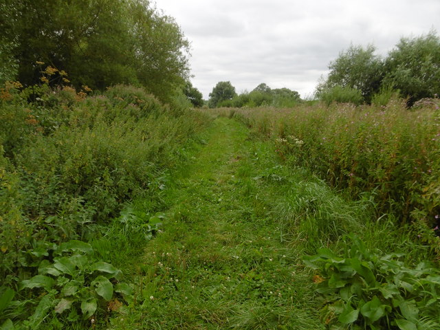
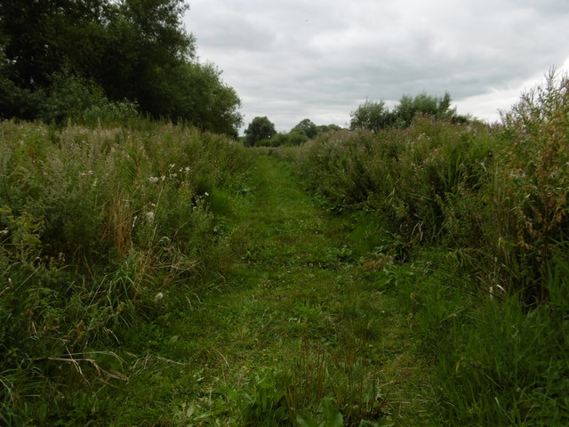
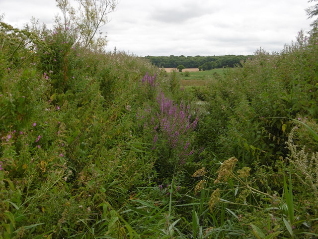
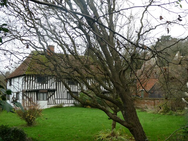
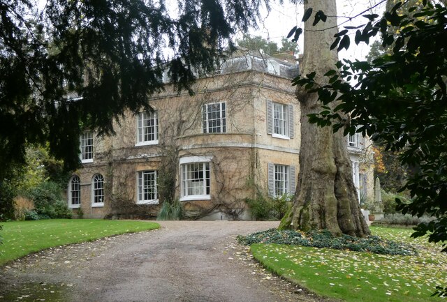
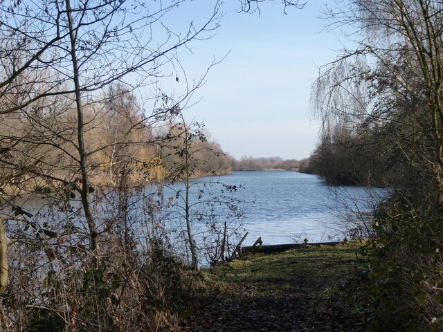
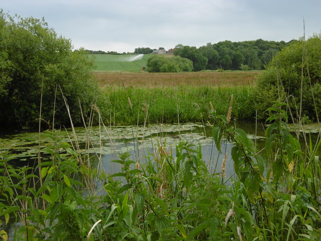
Down Wood is a picturesque forest located in the county of Kent, England. Covering an area of approximately 100 hectares, it is nestled on the outskirts of the charming village of Down, near the town of Sevenoaks. The wood is part of the wider Blean Woods complex and is managed by the Forestry Commission.
The woodland is predominantly composed of oak and beech trees, which create a dense and lush canopy, providing a habitat for a diverse range of flora and fauna. Bluebells, wood anemones, and primroses carpet the forest floor in spring, while in summer, the canopy offers a cool shade for visitors to enjoy a peaceful walk in nature.
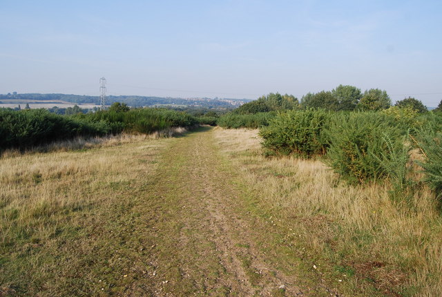
The wood is crisscrossed by a network of well-maintained footpaths and trails, making it a popular destination for hikers, nature enthusiasts, and families. The trails vary in length and difficulty, catering to different levels of fitness and interests. Along the way, visitors can spot various bird species, such as woodpeckers, owls, and warblers, as well as small mammals like deer, foxes, and squirrels.
Down Wood offers visitors a tranquil escape from the hustle and bustle of daily life, providing an opportunity to reconnect with nature. Its idyllic setting and rich biodiversity make it an important site for conservation and a valuable resource for scientific research. Whether one is looking for a leisurely stroll, a spot for wildlife observation, or simply a place to unwind, Down Wood is a haven of natural beauty and serenity.
If you have any feedback on the listing, please let us know in the comments section below.
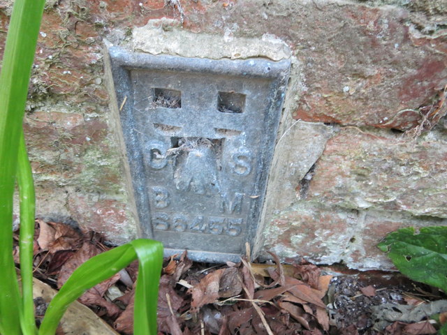
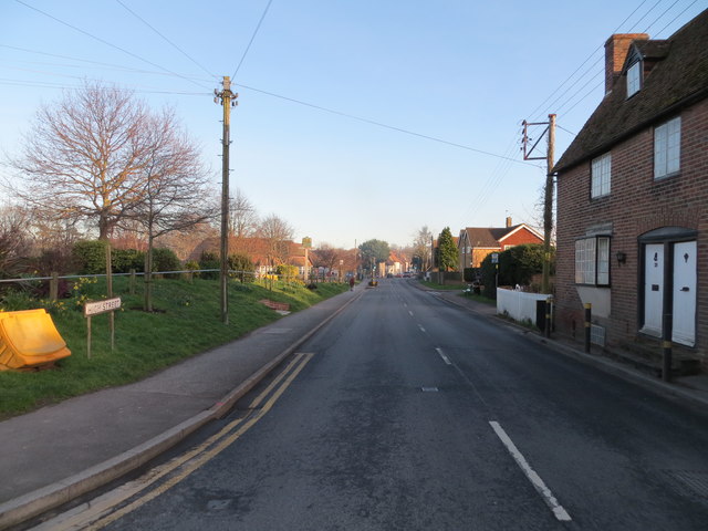
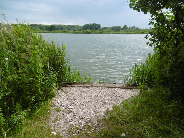
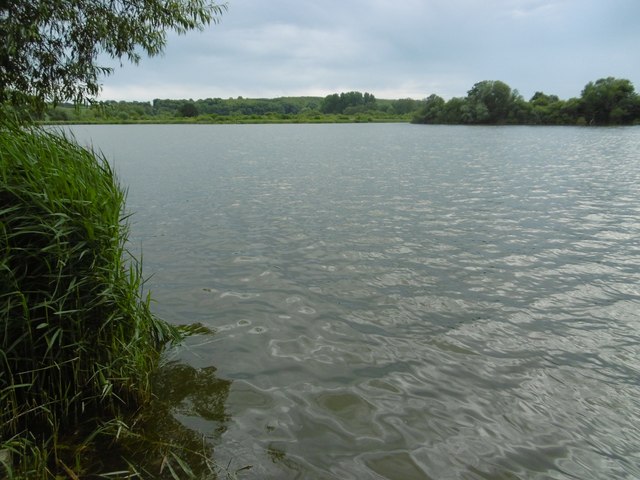
Down Wood Images
Images are sourced within 2km of 51.285194/1.1446726 or Grid Reference TR1958. Thanks to Geograph Open Source API. All images are credited.

Down Wood is located at Grid Ref: TR1958 (Lat: 51.285194, Lng: 1.1446726)
Administrative County: Kent
District: Canterbury
Police Authority: Kent
What 3 Words
///diggers.sings.simmer. Near Littlebourne, Kent
Nearby Locations
Related Wikis

Fordwich
Fordwich is a market town and a civil parish in east Kent, England, on the River Stour, northeast of Canterbury. It is the smallest community by population...

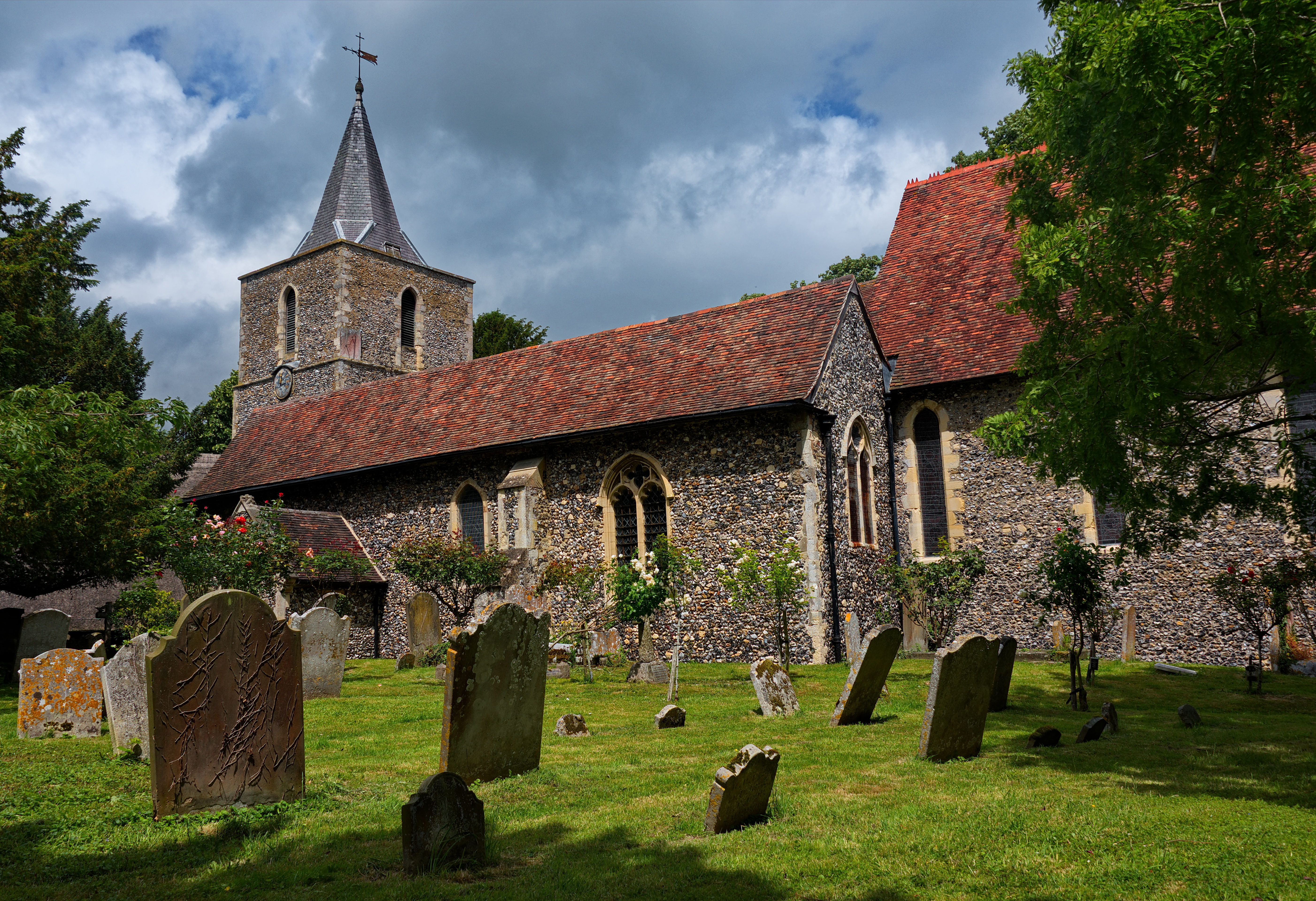
Church of St Mary the Virgin, Fordwich
The Church of St Mary the Virgin is a redundant Anglican church in the small town of Fordwich, Kent, England. It is recorded in the National Heritage...

Fordwich Town Hall
Fordwich Town Hall is a municipal structure in King Street, Fordwich, Kent, England. The structure, which serves as the meeting place of Fordwich Town...

Littlebourne
Littlebourne is a village and civil parish 4 miles (6.4 km) east of Canterbury in Kent, South East England. == History == The significant Howletts Anglo...
St Vincent of Saragossa Church, Littlebourne
St Vincent of Saragossa's Church is the Church of England parish church of Littlebourne, Kent, England. The parish is part of the Benefice of Littlebourne...

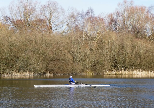
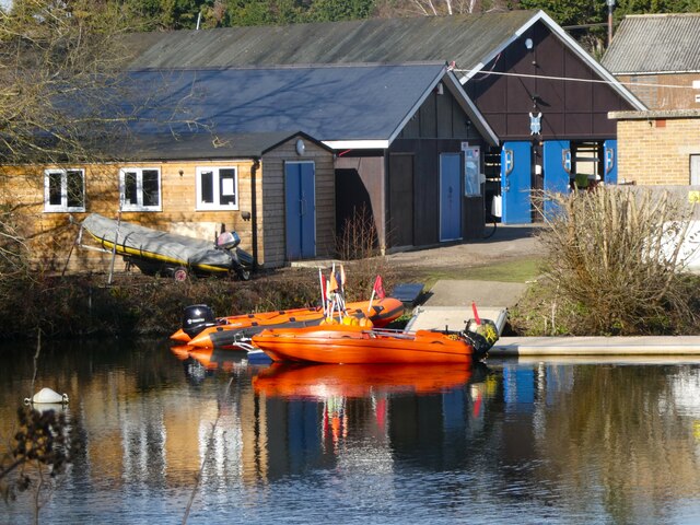
King's School Canterbury Boat Club
King's School Canterbury Boat Club is a rowing club based at Brett Sturry Quarry, Westbere Lakes, Sturry, Canterbury, Kent. == History == The club has...
Chequer's Wood and Old Park
Chequer's Wood and Old Park is a 106.9-hectare (264-acre) biological and geological Site of Special Scientific Interest on the eastern outskirts of Canterbury...
Howletts Wild Animal Park
Howletts Wild Animal Park (formerly known as Howletts Zoo) in the parish of Bekesbourne, near Canterbury in Kent, was established as a private zoo in 1957...
Nearby Amenities
Located within 500m of 51.285194,1.1446726Have you been to Down Wood?
Leave your review of Down Wood below (or comments, questions and feedback).