Cringleford Wood
Wood, Forest in Norfolk South Norfolk
England
Cringleford Wood
Cringleford Wood is a picturesque woodland located in the county of Norfolk, England. Situated just south of the village of Cringleford, the wood covers an area of approximately 18 hectares (44.5 acres). It is part of a larger network of woodlands known as the Yare Valley Woods, which stretches along the River Yare.
The woodland is predominantly made up of deciduous trees, with a variety of species including oak, ash, birch, and beech. These trees create a dense canopy, providing shade and shelter for a diverse range of wildlife. Cringleford Wood is known for its rich biodiversity and is home to numerous bird species, such as woodpeckers, nuthatches, and tawny owls. Small mammals like squirrels, rabbits, and foxes can also be spotted among the undergrowth.
Cringleford Wood offers visitors a tranquil escape from the hustle and bustle of everyday life. It features several well-maintained footpaths that wind their way through the woods, allowing visitors to explore the natural beauty at their own pace. There are also designated picnic areas and benches, providing a perfect spot for a leisurely outdoor lunch.
The wood is managed by the Norfolk Wildlife Trust, which aims to preserve and enhance the natural habitat. They regularly carry out maintenance work, such as clearing invasive species and creating deadwood habitats to encourage biodiversity. The trust also organizes various events and educational programs to promote the importance of conservation and engage the local community.
Overall, Cringleford Wood is a cherished natural treasure in Norfolk, offering visitors a chance to reconnect with nature and appreciate the beauty of a thriving woodland ecosystem.
If you have any feedback on the listing, please let us know in the comments section below.
Cringleford Wood Images
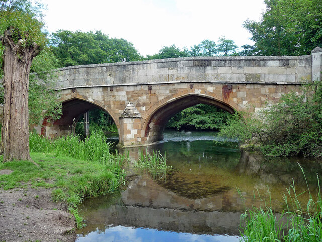
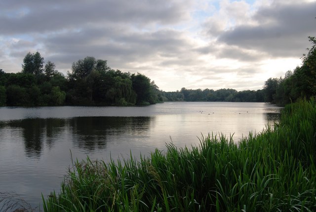
Images are sourced within 2km of 52.616226/1.2391194 or Grid Reference TG1906. Thanks to Geograph Open Source API. All images are credited.


Cringleford Wood is located at Grid Ref: TG1906 (Lat: 52.616226, Lng: 1.2391194)
Administrative County: Norfolk
District: South Norfolk
Police Authority: Norfolk
What 3 Words
///pans.never.carry. Near Cringleford, Norfolk
Nearby Locations
Related Wikis
UEA Broad
UEA Broad is an area of open water that neighbours the University of East Anglia, from which it gets its name. It is a part of The Broads in Norfolk....
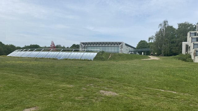
Sainsbury Centre for Visual Arts
The Sainsbury Centre is an art gallery and museum located on the campus of the University of East Anglia, Norwich, England. The building, which contains...

Climatic Research Unit
The Climatic Research Unit (CRU) is a component of the University of East Anglia and is one of the leading institutions concerned with the study of natural...

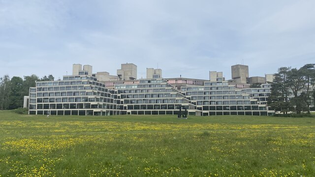
University of East Anglia
The University of East Anglia (UEA) is a public research university in Norwich, England. Established in 1963 on a 320-acre (130-hectare) campus west of...
UEA School of International Development
The School of International Development (formerly The School of Development Studies) is a department at the University of East Anglia, Norwich, England...

Earlham Park Woods
Earlham Park Woods is a 8.1-hectare (20-acre) Local Nature Reserve on the western outskirts of Norwich in Norfolk. It is owned and managed by Norwich...

Earlham Hall
Earlham Hall is a country house in Norfolk, England. It is located just to the west of the city of Norwich, on Earlham Road, on the outskirts of the village...

Eaton Park
Eaton Park is a large public park located in Eaton, Norwich, England.It is 80 acres in area. == History == The park was laid out in 1923 as part of a public...
Nearby Amenities
Located within 500m of 52.616226,1.2391194Have you been to Cringleford Wood?
Leave your review of Cringleford Wood below (or comments, questions and feedback).